TGS EQ20
A laser GNSS RTK receiver combining 200 m laser measurement, AR stakeout, 120° IMU, 4G and 32 GB storage.
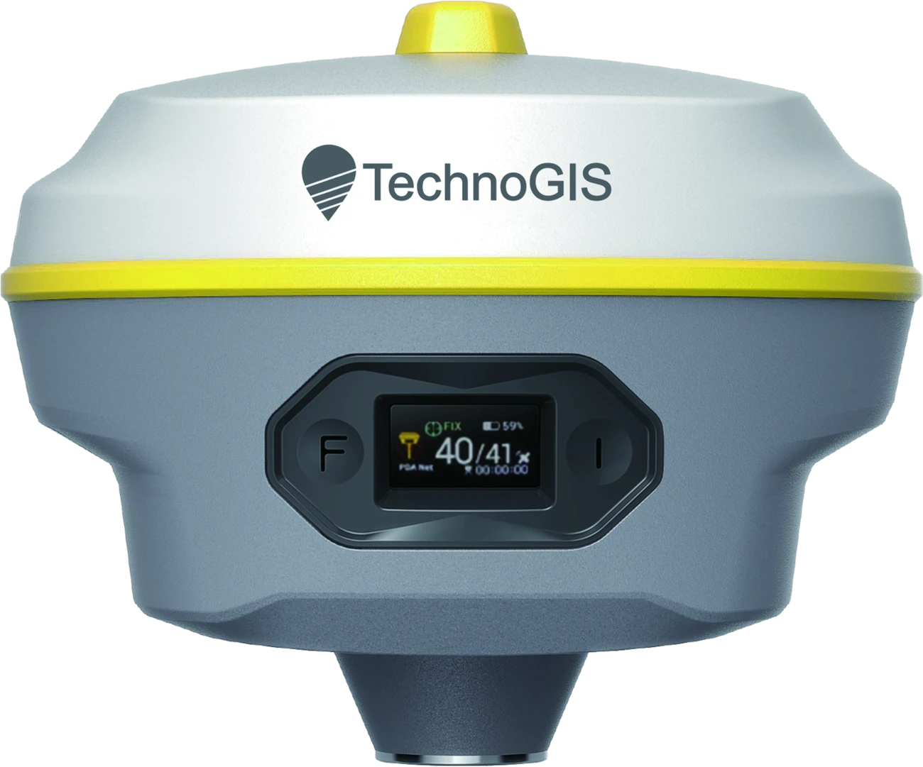 EQUATOR GNSS / EQ20
Reach the point.
Without the pole.
EQ20 brings laser measurement to points that are difficult to approach. Aim with the camera and measure from a more accessible position.
Calibration-free IMU
Measure with a tilted pole. Both receivers support an IMU range up to 120°, with the stated tilt accuracy applying at angles up to 60°.
GNSS channels
1408 · GPS / BDS / GLONASS / Galileo / QZSS / SBAS
Dust & water protection
IP68 · −40°C ~ +85°C
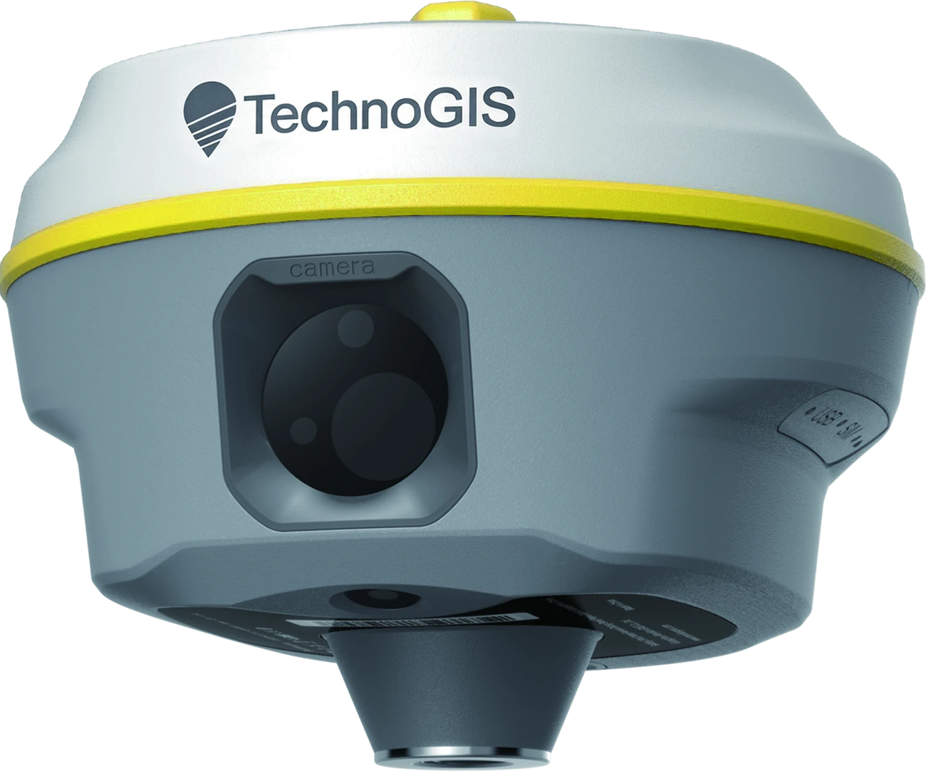
TGS EQ20
- GNSS channels
- 1408
- GNSS
- GPS · BDS · GLONASS · Galileo · QZSS · SBAS
- Horizontal RTK accuracy (RMS)
- ±(8 mm + 1 ppm)
- Vertical RTK accuracy (RMS)
- ±(15 mm + 1 ppm)
- IMU tilt range
- 120°
- Tilt compensation accuracy
- ≤2 cm · ≤60°
- Laser measurement range
- Up to 200 m
- Laser accuracy (RMS)
- H: ±(8 mm + 3 mm/m) · V: ±(15 mm + 3 mm/m)
- AR stakeout
- 5 MP + 5 MP
- Connectivity
- Bluetooth 5.2 · Wi-Fi · 4G
- Storage
- 32 GB
- Rover operating time
- Up to 22 h
- Battery
- 7.2 V · 6600 mAh
- Internal UHF radio
- 410–470 MHz · 1 W / 2 W
- USB-C charging
- USB PD · 15 V / 2 A
- Operating temperature
- −40°C ~ +85°C
- Dust & water protection
- IP68
- Dimensions
- 133 × 133 × 84.5 mm
- Weight
- ≈900 g
Performance figures follow the supplied brochures. Accuracy depends on open sky, multipath, satellite geometry and atmospheric conditions. Battery life and radio range vary with operating conditions.
Some signals and services marked with an asterisk in the brochures require future firmware updates. Confirm availability and regional support with our team.
Product brochure