GNSS corridor surveys: controlling a long, changing work area
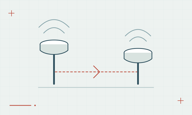
Road, utility and linear-infrastructure work can cross changing reception and reference conditions.
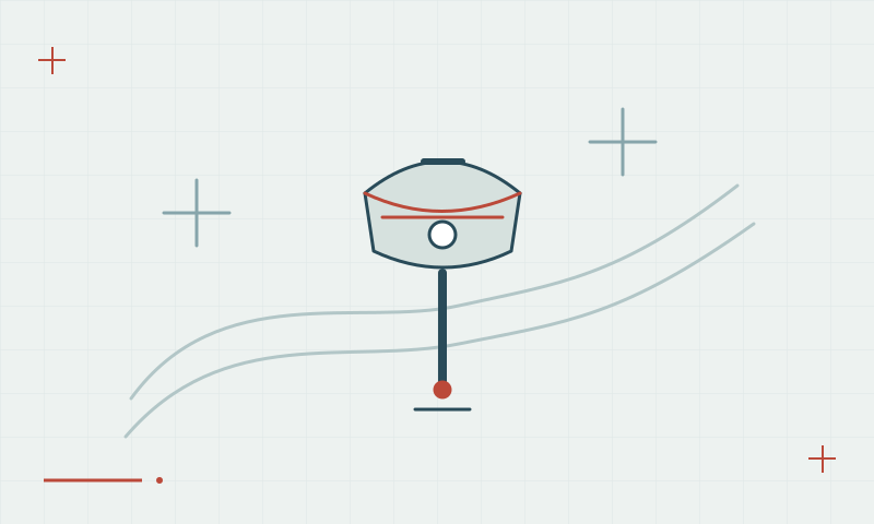
A corridor is not one observation environment
A long work area can include clear ground, buildings, cuttings, trees and different communication coverage. Reference distance and coordinate conventions may also change along it. Plan control and observation methods for these variations rather than assuming one successful test represents the entire route.
Continue learning Baseline length: why distance from the reference matters
Check continuity between survey sections
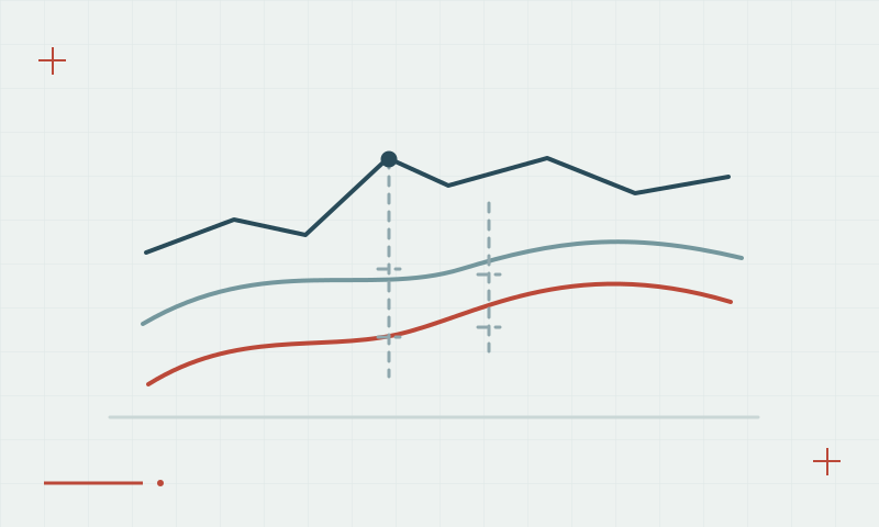
Use common verified control where crews or project sections meet. Document correction sources, transformations and feature definitions, then compare overlapping observations. Investigate a step between adjoining sections before smoothing or shifting the data, because a mismatch can arise from references as well as individual observations.
Continue learning Coordinate reference systems and datums for GNSS surveys
Practical checklist
- Plan control and communications along the route.
- Check overlaps where crews or sections meet.
- Investigate coordinate steps before adjusting the dataset.
Plan your GNSS setup
Compare the EQ10 and EQ20 receiver specifications, then discuss the configuration and support your project needs.
Compare GNSS receivers