Grid vs ground distances: avoiding a layout mismatch
A distance on a projected coordinate grid is not always the same as a measured ground distance.
Projection and elevation influence scale
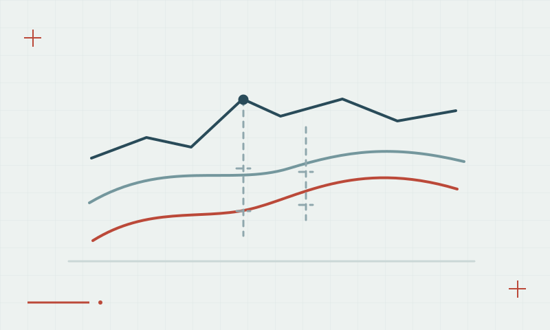
Survey software can report distances in grid or ground form depending on the project setup. Projection scale and elevation-related scale are part of the relationship. Applying a scale factor twice, or omitting a required factor, can create a systematic layout disagreement even when individual GNSS coordinates are consistent.
Continue learning UTM coordinates: zones, hemispheres and common export mistakes
Keep the project convention explicit
Agree whether design and stakeout data use grid or ground distances. Document any combined scale factor and its origin. Check a suitable known line and the office export settings before production layout, particularly when transferring data between a GNSS controller and another survey instrument.
Continue learning Local site calibration: connecting GNSS to project coordinates
Practical checklist
- Confirm the grid or ground convention with the designer.
- Record any applied scale factor and its source.
- Check a known line through the complete transfer workflow.
Plan your GNSS setup
Compare the EQ10 and EQ20 receiver specifications, then discuss the configuration and support your project needs.
Compare GNSS receivers