Coordinate axis order in GNSS data: preventing plausible mistakes
Make longitude-latitude, latitude-longitude and easting-northing conventions explicit at every import, transformation and exchange boundary.
Treat axis order as part of the reference
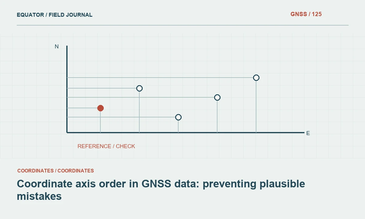
Coordinates are ordered values whose meaning depends on a defined reference and interface convention. Geographic data may be presented as latitude-longitude or longitude-latitude, while projected data commonly use easting-northing. A column headed X is not enough to determine its meaning. Record the axis names, units and order rather than relying on the habits of one application.
The same physical location can be represented correctly through different ordered conventions when the software handles them explicitly. Problems arise when values are passed between interfaces that interpret the order differently. A dependable workflow identifies the convention at each boundary and tests it. This is a data meaning issue, not simply a preference for how numbers appear on a screen.
Continue learning UTM coordinates: zones, hemispheres and common export mistakes
Read source documentation before guessing
Obtain the source CRS and field definitions for incoming survey data. Inspect controller settings and export documentation where necessary. Do not infer axis order solely from column position or labels such as north and east in an informal filename. A local grid may also use unusual axis directions or an engineering convention that differs from a standard projected reference.
Numeric ranges can reveal obvious mistakes, but they are not conclusive. In some regions, both longitude and latitude values can fall within plausible ranges when swapped. A point may remain on land while moving far from the site. Compare known locations and documented reference definitions rather than accepting a map simply because the result is not obviously impossible.
Continue learning Validating CSV coordinate imports from GNSS surveys
Distinguish CRS axes from API data order
A CRS definition can specify one axis order while an application interface uses another convention for its data arrays. PROJ documentation describes axis handling and transformation behaviour, but the exact interface and version still matter. Read the documentation for the tools actually used. Avoid assuming that every library, command line and file format interprets an identical pair of values in the same way.
Record any axis-normalisation option or explicit swap operation in the workflow. Test representative points before production. A hidden compatibility setting can make one script work while another script using the same CRS identifier fails. Keeping the interface convention visible makes the process easier to review and reduces dependence on undocumented software defaults.
Continue learning Documenting coordinate epoch in GNSS survey data
Respect format-specific exchange rules
RFC 7946 GeoJSON positions use WGS84 longitude and latitude in decimal degrees. That rule applies even when the source survey or a software display uses latitude first. Projected coordinates must be transformed before a standards-conforming export. Swapping values alone does not convert easting and northing into geographic coordinates.
Other formats and services may have their own conventions, so verify the relevant specification. Keep a concise exchange contract identifying coordinate order, units, reference and height handling. A receiving team should not need to experiment with several swaps to discover the intended location. Explicit conventions are especially important when data move through web maps, spreadsheets and survey software in the same project.
Continue learning A QGIS workflow for reviewing GNSS survey data

Test imports with known reference points
Select a small set of well-defined locations whose expected positions are known in the approved reference. Include points with different coordinate values so a mistaken swap is easy to recognise. Import and transform them through the actual production workflow. Compare stored values as well as displayed positions, since on-the-fly transformations can obscure what the underlying file contains.
Preserve the test input, expected interpretation and observed output. A repeatable test is more useful than a screenshot with no reference information. Re-run the affected test when an import mapping, library version or interface configuration changes. The objective is to catch a convention mismatch before it affects a large dataset or becomes embedded in downstream design files.
Continue learning UTM coordinates: zones, hemispheres and common export mistakes
Keep vertical and time dimensions separate
Axis order problems are not limited to the first two values. Three-dimensional positions require a defined height type and units, while time-dependent transformations may require a coordinate epoch. Do not place an engineering elevation or timestamp in an array merely because an extra slot exists. Confirm the interface’s expected meaning for every component.
Preserve missing values explicitly rather than inserting zero without explanation. A zero height or time component may be interpreted as a real value and change the result. Document how optional components are handled. This is particularly important when a two-dimensional GIS workflow is connected to a more complete survey transformation that uses height or time information.
Continue learning Validating CSV coordinate imports from GNSS surveys
Correct a mismatch consistently
When an axis error is confirmed, return to the original source and apply a documented correction through the full dataset. Do not move points individually by eye. Preserve the original file and identify affected releases. A simple swap can be appropriate when the evidence proves that order alone is wrong, but it should not substitute for identifying the actual source reference.
After correction, test known points and inspect the dataset extent, identifiers and attributes. Check related products that may have inherited the same mistake. A point layer, linework and derived surface should remain coherent. Record the cause so future imports do not repeat the same hidden convention mismatch.
Continue learning Documenting coordinate epoch in GNSS survey data
Deliver coordinates with an explicit convention
Provide axis names, order, units, CRS definition and height handling in the data dictionary or handover note. Use descriptive column names where the format allows them. Include a representative example whose interpretation is unambiguous. Avoid generic labels that force recipients to infer meaning from coordinate magnitudes.
Archive the import and transformation mapping with the release. A reliable GNSS coordinate workflow treats order as part of the exchange contract from field export to final application. This small discipline prevents errors that can be numerically plausible, visually misleading and expensive to trace once several downstream datasets have been created.
Continue learning A QGIS workflow for reviewing GNSS survey data
Review a latitude-first source for a web map
Suppose a survey table clearly documents latitude in its first column and longitude in its second. The intended web exchange is GeoJSON. Preserve the source table, assign its correct reference and export through a workflow that produces longitude-latitude arrays. Do not rename the source columns to make them look like the target convention while leaving the values in the old order.
Test several known positions in the receiving map and inspect the actual exported arrays. Confirm that any required reference transformation occurred in addition to the order change. Keep the mapping with the release note. This example shows why source interpretation and target formatting are separate steps: both must be correct for a coordinate pair to retain its meaning across systems.
Keep an example in the exchange documentation that uses realistic but clearly identified project test coordinates, with the expected order shown beside the field names. Avoid an example whose two values happen to be similar, since it may fail to reveal a swap. The test should be easy for another operator to repeat. If the receiving system uses its own axis-normalisation setting, record that setting as part of the interface contract rather than assuming that the exported array alone guarantees correct interpretation in every application.
Continue learning UTM coordinates: zones, hemispheres and common export mistakes
Practical checklist
- Document axis order at every interface boundary.
- Test known points and inspect stored values as well as display.
- Use GeoJSON longitude-latitude degrees after proper transformation.
Plan your GNSS setup
Compare the EQ10 and EQ20 receiver specifications, then discuss the configuration and support your project needs.
Compare GNSS receivers