Validating CSV coordinate imports from GNSS surveys
Check column meaning, units, reference definitions and identifiers before turning a coordinate spreadsheet into map geometry.
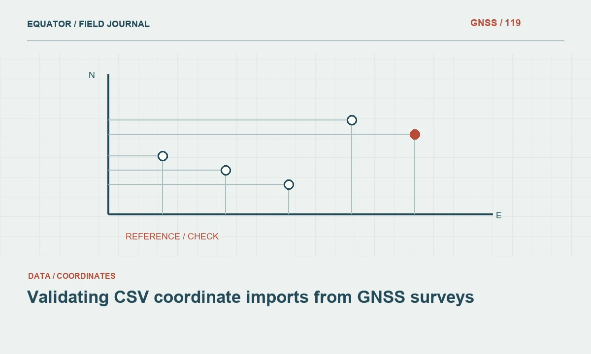
Treat the CSV as an exchange contract
A CSV file contains delimited text, not a complete spatial reference system by itself. Before importing, obtain the data dictionary and determine what each column means. Easting, northing, longitude, latitude and elevation are not interchangeable labels. Identify whether the file contains raw observations, accepted positions or derived coordinates.
Keep the original file unchanged and create a working copy for inspection. Record its source, date and intended reference. A successful import message only shows that software could parse the text; it does not prove the geometry is correct. Validation should test meaning as well as syntax, especially when the data will feed design, asset management or another survey workflow.
Continue learning Exporting GNSS data to GIS without losing its meaning
Confirm delimiters, decimal symbols and text encoding
Inspect how fields are separated and how decimal values are written. A comma may be a delimiter in one file and a decimal symbol in another locale. Quoted text can contain separators or line breaks. Use a proper CSV reader rather than splitting every line at the first visible comma. Test special characters in names and notes.
Check for a header row and verify that no data row was mistaken for field names. Confirm the text encoding with the source where necessary. Review a few records containing long notes or non-English characters after import. A file can appear correct in its first rows while later rows are shifted because a quoted separator was handled incorrectly.
Continue learning Coordinate axis order in GNSS data: preventing plausible mistakes
Identify coordinate columns and axis order
Choose geometry columns by their documented meaning, not simply their position in the table. For geographic coordinates, confirm whether the source order is longitude-latitude or latitude-longitude. For projected coordinates, identify easting and northing and their units. Numeric ranges can reveal obvious problems but are not a substitute for reference documentation.
Test known locations and compare representative values before importing the full file. A point plotted in the correct country may still use the wrong datum, zone or local grid. Preserve the column mapping used by the import. This makes the process repeatable and prevents a later operator from selecting a different pair of fields because their names look similar.
Continue learning Designing a geodatabase schema for GNSS point observations
Establish the source CRS before transformation
Assign the correct source reference to the imported coordinates. If another output reference is required, perform a documented transformation after the source is identified. Do not assign the target CRS directly to unchanged source numbers. Include local grid parameters, datum realisation and coordinate epoch where relevant. A generic code may not describe a project-specific calibration.
Keep horizontal and vertical handling explicit. An elevation column may contain ellipsoidal height, a geoid-derived value, a local level or no valid height at all. Do not use it as a third coordinate without understanding its meaning. Record any transformation operation and model version applied during creation of the final geometry.
Continue learning Handing GNSS survey coordinates to CAD teams without losing meaning
Protect identifiers and attribute types
Import identifiers as text where their meaning requires it. Spreadsheet software may remove leading zeros, alter long numbers or reinterpret code-like values as dates. Compare a sample against the original file after import. Stable asset and observation identifiers are essential for linking photographs, raw data and later updates.
Define numeric, date and coded fields deliberately rather than accepting every automatic type guess. Keep unknown values distinguishable from zero or an empty string when the project uses those states differently. Check mandatory attributes and duplicate identifiers. A map with correct geometry can still be unusable if its identity fields were changed during the import process.
Continue learning Exporting GNSS data to GIS without losing its meaning
Review geometry and quality evidence
Check coordinate ranges, missing values and obvious outliers. Plot the data over a suitable reference layer for a visual sanity check, while recognising that a basemap is not necessarily survey control. Compare known points in the approved reference. Look for duplicated coordinates, unexpected clusters and jumps that may indicate a column or unit problem.
Preserve observation method and quality fields supplied by the survey. Do not convert an internal receiver precision value into an independent accuracy claim. Review points marked provisional, offset-derived or rejected according to the project’s rules. The import should retain these distinctions instead of producing one undifferentiated point layer that hides the evidence behind each position.
Continue learning Coordinate axis order in GNSS data: preventing plausible mistakes
Test the exported result and document the mapping
Save the imported geometry in the intended delivery format and reopen it. Compare point counts, identifiers, coordinate values and field types with the source. If the output is transformed, test representative points through the documented operation. Keep the import configuration or a concise mapping table so another operator can reproduce the result.
Document any records excluded or corrected and preserve their original values. A correction should have a reason and source evidence, not just a note that the point looked wrong. If the source file is incomplete or ambiguous, return the issue for clarification rather than silently inventing a reference. This protects downstream users from confident-looking geometry built on an uncertain interpretation.
Continue learning Designing a geodatabase schema for GNSS point observations
Deliver metadata alongside the point layer
Include the source file, data dictionary, CRS definition, height convention, import mapping and transformation history with the delivery. State whether the layer represents observations or accepted positions. Identify unresolved records and limitations. The recipient should not have to infer units or axis order from the size of the numbers.
Archive the original CSV and the released spatial dataset together. Future imports should use the same controlled process or document what changed. Reliable coordinate import is a small but important survey operation: it preserves the meaning of the measurements while changing their representation. Treating it as a simple drag-and-drop step can lose the information that makes the points trustworthy.
Continue learning Handing GNSS survey coordinates to CAD teams without losing meaning
Investigate a plausible but wrong import
Suppose imported points appear near the expected project but are consistently displaced from checked control. Review the source reference, local grid settings and transformation operation before editing coordinates. The values may have been assigned the target CRS without transformation, or a project calibration may be missing. A small-looking displacement can still reflect a fundamental reference mismatch.
Test a few source records independently using the approved definitions. Keep the original file and mapping unchanged while investigating. Once the cause is confirmed, rerun the import or transformation consistently rather than moving individual points by eye. This produces a repeatable correction and avoids a dataset in which some coordinates follow the documented workflow while others contain undocumented manual edits.
Once the workflow is corrected, compare record counts and a sample of non-spatial attributes as well as positions. A rerun can solve the reference issue while accidentally changing identifiers or date types through different automatic import settings. Retain the complete mapping, including text and numeric field choices. Issue the replacement layer with a note identifying the superseded version and the cause of the correction. This keeps downstream users from mixing the old geometry with the new attributes or assuming that only a display setting changed.
Continue learning Exporting GNSS data to GIS without losing its meaning
Practical checklist
- Confirm column meaning, axis order and units before import.
- Protect identifiers from automatic spreadsheet conversions.
- Reopen the output and retain the import mapping.
Plan your GNSS setup
Compare the EQ10 and EQ20 receiver specifications, then discuss the configuration and support your project needs.
Compare GNSS receivers