GNSS mapping for disaster assessment: rapid data with traceable quality
Organise rapid field observations so positions, timestamps, damage descriptions and evidence remain understandable after the immediate response.
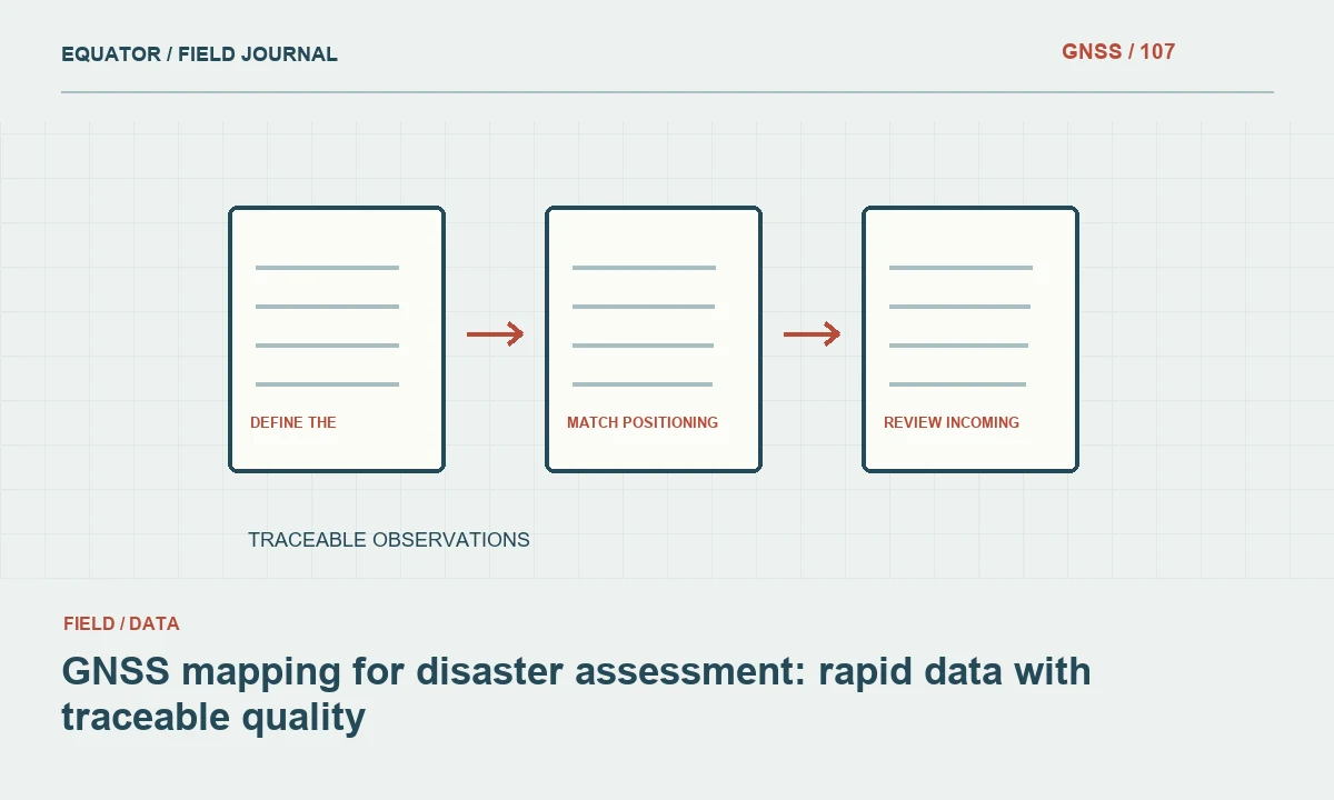
Define the assessment decision and field scope
Rapid mapping should begin with the information the response or recovery team needs. Damaged road access, affected facilities and observed hazard boundaries require different feature definitions. Agree a short list of essential attributes and the intended update cycle. A complicated form that cannot be completed consistently may produce less useful evidence than a focused dataset with clear priorities.
Identify the responsible coordination process and approved field access arrangements. Survey planning must account for changing conditions, restricted areas and the limits of available communications. GNSS mapping supports location records; it does not replace specialised hazard assessment or operational decisions. Keep the role of the field dataset explicit so users understand what the observations can and cannot establish.
Continue learning GNSS for agricultural mapping and field reference points
Preserve time and observation status
Conditions can change quickly after a disaster. Record when each feature was observed and whether its status was directly seen, reported by another source or inferred from imagery. A road marked open yesterday may not be open today. The map should retain the observation time and source rather than presenting all records as equally current.
Use a clear status model for new, reviewed, superseded and unresolved observations. Allow updates to add evidence without erasing the earlier record. If a report is corrected, retain the reason and link to the replacement. This makes the dataset useful for reconstructing what was known at a particular time and prevents outdated information from silently remaining active.
Continue learning Mapping water network assets with GNSS and reliable field records
Choose a common spatial reference
Confirm the coordinate reference and exchange format used by the coordinating team. Different organisations may provide local grids, geographic coordinates or projected datasets. Record the source reference before transforming anything. A file that displays near the affected area may still contain a subtle reference or axis-order problem that becomes important when data are combined.
Test a small sample through the intended mobile, GIS and sharing workflow. Check longitude and latitude order, units and identifier preservation. When GeoJSON is used according to RFC 7946, coordinates are WGS84 longitude and latitude in decimal degrees. Projected eastings and northings require transformation before export; changing a label does not perform that operation.
Continue learning GNSS archaeological site mapping: contexts, control and provenance
Match positioning quality to the task
Not every rapid assessment feature requires the same positional evidence. A general access note may be useful with a qualified approximate position, while an engineering follow-up point may require more rigorous survey control. Define quality categories that reflect methods and checks rather than assigning one accuracy claim to every device and environment.
Record receiver method, correction status and relevant limitations. Buildings, debris, trees and terrain can obstruct or reflect satellite signals. A fixed RTK status should be assessed with the observation context and independent checks. If the required method cannot be supported safely or operationally, mark the observation provisional and identify what follow-up is needed instead of overstating certainty.
Continue learning GNSS stockpile mapping in quarries: boundaries, surfaces and checks
Use identifiers and forms that survive offline work
Create unique observation identifiers that do not depend on a continuous internet connection. Keep feature identifiers separate where several observations concern the same bridge, facility or road segment. Test offline storage, synchronisation and conflict handling before field deployment. Loss of connectivity should not break the relationship between a position, its description and its photographs.
Keep the form concise but include source, time, method and review status. Use controlled values for common conditions while allowing notes for unexpected situations. Avoid forcing a crew to choose a severe or mild category when the definition is unclear. An unknown status with evidence for later review is preferable to an invented classification that drives an inappropriate decision.
Continue learning GNSS for agricultural mapping and field reference points
Link photographs to specific observations
Photographs should show the feature and enough surrounding context to interpret its location and orientation. Link them using the observation identifier rather than relying on upload order. Record relevant viewpoints and preserve original timestamps where appropriate to the project process. A close image without context may be hard to match to one of several similar damaged objects.
Distinguish what the image demonstrates from what remains uncertain. A photograph of a damaged surface does not establish hidden structural condition. Keep specialist assessments as separate records with their own source and status. This approach lets the map organise evidence without turning a rapid field note into an unsupported technical conclusion.
Continue learning Mapping water network assets with GNSS and reliable field records
Review incoming data for actionable consistency
Check for duplicate features, impossible coordinates, missing times and conflicting statuses. Prioritise discrepancies that affect the intended response decisions. Compare nearby reports and supporting photographs, but do not remove a conflict simply to make the map look consistent. Flag unresolved differences and route them through the agreed review process.
Maintain a clear distinction between raw incoming observations and reviewed information. A reviewer should be able to trace an accepted feature back to its source records. Use versioned releases or update timestamps so recipients know which map they are using. Reopening the exported files in the receiving system is an important check that attributes and links remain intact.
Continue learning GNSS archaeological site mapping: contexts, control and provenance
Deliver a dataset that supports recovery work
Provide the data dictionary, coordinate reference, observation period, quality categories and unresolved issues with each release. Explain which information is current, provisional or superseded. Keep the original evidence available for later engineering, planning or recovery surveys. Rapid collection does not remove the need for provenance; it makes a simple and consistent provenance system more important.
As the project moves from response to recovery, identify records that need a more rigorous survey or specialist assessment. Preserve stable feature identifiers so improved observations can connect to earlier reports. A useful GNSS assessment map communicates location and evidence quickly while remaining honest about timing, method and uncertainty. That makes it a foundation for later work rather than a disposable emergency sketch.
Continue learning GNSS stockpile mapping in quarries: boundaries, surfaces and checks
Handle conflicting access reports
Two teams may report different access conditions for the same road segment at different times. Preserve both observations with their timestamps and sources. The difference may reflect a real change, a different direction of travel or inconsistent feature identification. Review photographs and segment identifiers before deciding which status is current. Removing the older report without a trace can erase useful evidence about how conditions evolved.
Publish a reviewed status with a clear update time and retain links to the supporting observations. If the conflict remains unresolved, flag it through the coordination process rather than selecting the more optimistic report automatically. The field map should help users recognise the state of the evidence. It should not imply a certainty that the source observations do not provide, especially when the status influences subsequent field planning.
Use a clear map update time and avoid a generic live label when records are only refreshed periodically. Show the age or review status of the access evidence where that helps the intended decision. If the coordination process issues a revised status, retain the link to the observation that supported it. A simple and visible freshness convention can be more useful than adding many descriptive fields that users cannot interpret quickly. Test that convention with the people who will actually read the assessment map.
Continue learning GNSS for agricultural mapping and field reference points
Practical checklist
- Record source, time and review status for every observation.
- Test offline identifiers and synchronisation before deployment.
- Separate rapid field notes from specialist technical assessments.
Plan your GNSS setup
Compare the EQ10 and EQ20 receiver specifications, then discuss the configuration and support your project needs.
Compare GNSS receivers