A GNSS equipment preflight before leaving the office
Test the whole measurement and data delivery chain while problems can still be fixed without a return trip.
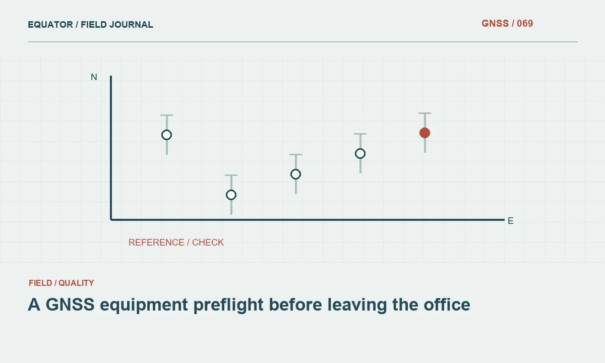
Start with the project configuration
A useful preflight is a short rehearsal of the planned field workflow. Begin with the deliverable, reference system and equipment arrangement for the actual project. A receiver that powers on is only one part of readiness. The crew also needs the correct job template, coordinate files, correction access, antenna geometry and export format. Connect these items in one check rather than treating them as unrelated packing tasks.
Identify who approves the configuration and how the crew can recognize the approved version. Keep old templates available only where needed for archive work, not beside the current field preset with indistinguishable names. Confirm the language and units used by the controller if several operators share it. Small interface differences can become consequential when a crew assumes a familiar field means the same thing in every imported job.
Continue learning A practical GNSS field checklist before recording points
Inspect the physical measurement chain
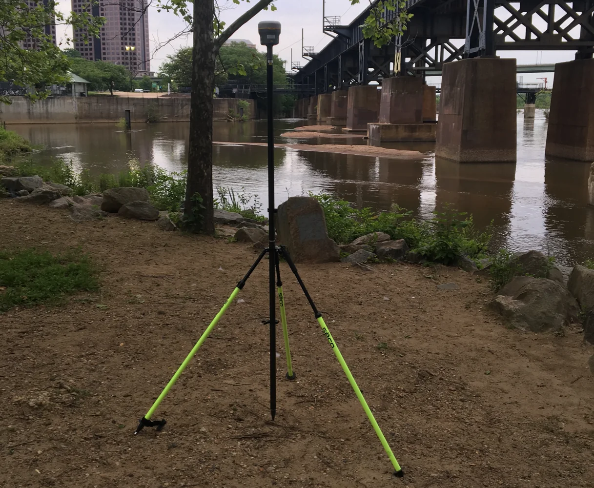
Check receiver mounts, poles, tips, bubbles, tripods and adapters. Assemble the equipment at its intended working height rather than inspecting loose parts in a case. Look for damaged threads, loose locks and missing accessories. Confirm that the pole height convention matches the assembled components. A spare antenna adapter or replacement tip should be identified and verified before it is relied on as an interchangeable field replacement.
Inspect power and communications components too. Charge the required batteries, test cables and check the condition of connectors according to the equipment instructions. Label equipment so devices can be matched to their records. The preflight should reveal whether the complete system can operate for the planned session, including the controller or phone that carries corrections, rather than confirming only that the main receiver has a full battery.
Continue learning A QGIS workflow for reviewing GNSS survey data
Open the actual field job
Load the approved coordinate reference system and project control. Review units, axis order, height type, geoid selection and local transformation where used. Inspect a known coordinate on the screen and in an export. This can reveal an import convention problem before the crew reaches the site. Keep the coordinate source and revision with the job so an operator can distinguish approved control from provisional information.
Check point naming, feature codes and required attributes. Enter a small test record using the same forms planned for production. Confirm that mandatory information can be recorded without workarounds. If the field dictionary is incomplete, repair it before data collection creates several incompatible spellings or improvised codes. A controlled test record is easier to remove than hundreds of inconsistent observations are to reconstruct after the campaign.
Continue learning Inspecting a GNSS site for multipath before measuring
Test correction access end to end
Connect using the intended receiver, controller and communications path. Verify the caster or radio settings and confirm that usable correction data reach the rover. Inspect correction age and solution state. A general internet test does not prove that the correction account, mountpoint and local receiver link all work together. Keep credentials private and avoid including passwords in shared setup screenshots or checklists.
If testing occurs away from the project, describe that limit. An office connection confirms configuration but does not establish mobile coverage across the work area. Prepare the reconnaissance and fallback plan separately. If a second correction source is approved, test its preset as well and record the conditions under which the crew should use it. An untested alternative is a possibility, not a completed continuity plan.
Continue learning Designing a backup and recovery strategy for GNSS projects
Verify recording and export
Make a small observation dataset and confirm that raw logging, point storage and required metadata behave as expected. Export it through the intended route and inspect the resulting file. Check point identifiers, coordinates, units, height fields and character encoding. This catches problems that are invisible in the controller but appear when the client or GIS software reads the deliverable.
Confirm available storage and the daily backup arrangement. Know which files contain raw observations, which contain processed points and which preserve job settings. A copy of a final coordinate file does not replace the configuration needed to interpret it. Test the file transfer method with the actual devices and permissions rather than assuming a cable, wireless share or memory card will work at the end of a long field day.
Continue learning A practical GNSS field checklist before recording points
Run a meaningful coordinate check
Where suitable control is available, occupy a check point with the assembled system and compare the result using the project procedure. This tests more than equipment startup. It connects the physical setup, correction source and coordinate configuration to an external result. Preserve the check record and note which project conditions it represents and which will still need verification at the site.
If the check fails, investigate while the equipment and office support are available. Review reference coordinates, antenna height, transformation and the observation environment. Do not pack the system merely because it eventually displays fixed. A preflight should end with a clear readiness decision and a list of unresolved items. The crew needs to know whether those items prevent production or require a specific additional field check.
Continue learning A QGIS workflow for reviewing GNSS survey data
Pack according to the tested arrangement
Use a packing list derived from the assembled system, including chargers, spare power, height measuring tools, approved mounting components and reference information. Include recovery instructions for control and the contact details needed for technical support. Keep private access information in an appropriate secure form rather than printed in a general equipment inventory. The list should support the actual workflow that passed the preflight.
Record the test date, equipment identifiers, software versions and any exceptions. At crew handover, explain the approved configuration and fallback steps. A good preflight reduces uncertainty before travel and gives the field team a known starting point. It is successful when it exposes a missing component, an incompatible setting or an export problem early enough to fix it, rather than merely producing a completed checklist with no practical evidence behind it.
Continue learning Inspecting a GNSS site for multipath before measuring
A test export that exposes a field problem
Suppose the preflight point looks correct on the controller but arrives in the office without a height type, feature code or stable identifier. The equipment may be functioning, yet the planned delivery route is incomplete. Repair the export configuration and repeat the test before the crew leaves. This is cheaper and more reliable than reconstructing missing meaning from a large coordinate table after several days of collection.
Keep the small test dataset and its expected output as a reference for later software or dictionary changes. It should include representative identifiers, attributes and coordinate values that can be recognized easily. Remove or clearly separate test points from production jobs. The test becomes valuable evidence that the complete chain was checked: field entry, storage, transfer and interpretation in the destination software. A preflight that ends at a green receiver status would miss that entire class of delivery failure.
Continue learning Designing a backup and recovery strategy for GNSS projects
Practical checklist
- Assemble and inspect the complete field system.
- Test the actual job, correction path and export.
- Record readiness, unresolved items and the site checks still required.
Plan your GNSS setup
Compare the EQ10 and EQ20 receiver specifications, then discuss the configuration and support your project needs.
Compare GNSS receivers