Inspecting a GNSS site for multipath before measuring
A systematic site inspection can identify reflection risks and guide a better GNSS observation plan before weak coordinates enter the project.
Look beyond an apparently open sky
Multipath occurs when a signal reaches the antenna through more than one path, including reflections from surrounding surfaces. A site can have a broad view of the sky and still contain strong reflection risks. Nearby metal, glass, water, walls and vehicles may influence observations as satellite directions change. Begin with a full inspection around the proposed antenna position rather than judging suitability only by the number of satellites shown on the controller.
Distinguish direct observations affected by reflections from observations received mainly through a non line of sight path. Both can create problems, but their behavior and treatment depend on the receiver and processing method. A modern receiver may mitigate some effects without eliminating every bias. The field method should therefore include independent checks and sensible site selection rather than assume that equipment capability makes local surroundings irrelevant.
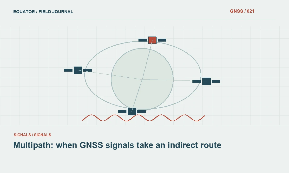
Continue learning Multipath: when GNSS signals take an indirect route
Identify fixed and temporary reflectors
Walk around the mark and note nearby buildings, fences, roofs, signs, retaining walls and other substantial surfaces. Consider their direction and approximate relationship to antenna height. A low wall, a large facade and an overhead structure do not create identical observation conditions. Photograph the site from useful directions and record persistent obstructions. These records help an office reviewer understand why one mark behaves differently from another in the same project.
Also inspect temporary conditions: parked trucks, machinery, stacked materials, wet surfaces and construction activity. A point that is satisfactory during reconnaissance may be unsuitable during collection if a vehicle is parked beside it. Record meaningful changes during an occupation. When repeated observations disagree, the site history can be more informative than a generic note saying poor GPS, because it links the quality concern to a physical mechanism that can be investigated.
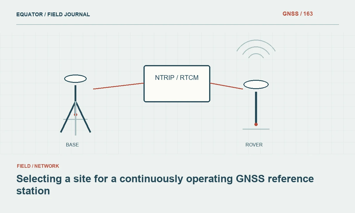
Continue learning Selecting a site for a continuously operating GNSS reference station
Consider antenna placement and mark purpose
Where the mark location can be chosen, prefer a stable site with an appropriate open environment and practical long term access. Avoid placing new control immediately beside a reflective structure merely because that location is convenient for a drawing. A small change in location can improve observation conditions, but it must still satisfy the project's control design and preserve a clear physical definition of the point.
Where the feature cannot move, consider observing a suitable offset and connecting it with another survey technique. Document the complete measurement chain and uncertainty. Extending a pole or moving the antenna without recording the relationship to the feature can replace a multipath problem with a geometry or setup problem. The method should measure the intended point reproducibly, not simply find a location where the controller displays an attractive solution state.
Continue learning Evaluating multi-frequency GNSS receivers for real projects
Review observation behavior during collection
Monitor solution stability, tracking continuity and the project's quality indicators while retaining the original observations. Unexpected jumps, repeated loss of initialization or disagreement between occupations warrant investigation. These symptoms can have several causes, so do not diagnose multipath from one display value alone. Compare the behavior with site conditions and other possible issues such as correction interruptions, pole movement or an incorrect setup entry.
A fixed ambiguity solution does not independently establish that reflections have become harmless. Check known points and use appropriate repeated occupations. If the receiver supports signal quality or multipath related diagnostics, interpret them according to its documentation. Preserve those diagnostics where they influence acceptance. A field note describing the action taken is more useful than a screenshot without a timestamp or connection to the stored point.
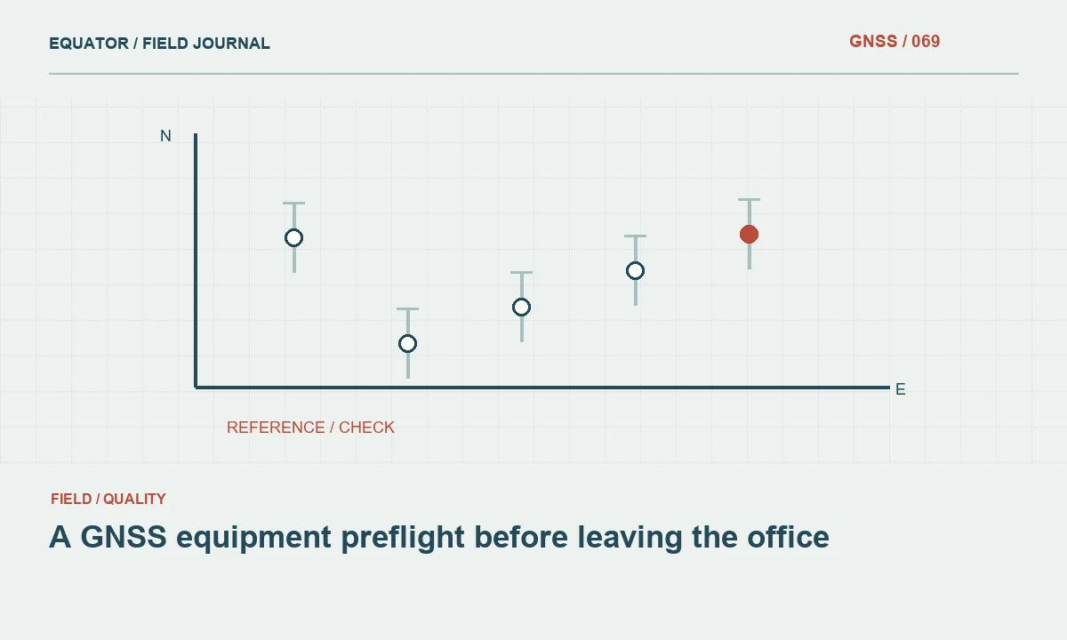
Continue learning A GNSS equipment preflight before leaving the office

Design repeats that test the site concern
Repeated observations can help reveal how a site behaves when geometry and setup conditions change. Follow the project requirements for separation, reinitialization and remade setups. A rapid second store from the unchanged pole position may repeat the same bias. Where practical, compare with an independent control or alternative measurement method that does not share the same local satellite observation conditions.
Interpret the results cautiously. Agreement under two tested conditions supports the evidence for those observations; it does not prove that the location will perform identically at every later time. If a difficult mark is retained, identify the procedure and limitations in its description. A future crew should know why a specific observation strategy or alternate connection was required instead of discovering the same problem through repeated unsuccessful attempts.
Continue learning Multipath: when GNSS signals take an indirect route
Investigate a facade example
Suppose a crew maps assets along a building with glass and metal cladding. Open points away from the facade pass independent checks, while points close to the building show inconsistent repeated positions. The pattern suggests a local observation problem, but the team should still verify feature identification, antenna setup and correction continuity. A controlled comparison is more informative than changing multiple receiver settings and accepting whichever coordinate looks nearest the map.
An appropriate response may be to establish open control and measure the constrained features by another method. If that method is adopted, keep the original GNSS observations with a rejected or approximate status rather than silently overwriting them. The revised coordinates should be linked to the accepted measurement chain so downstream users understand why some features have different supporting evidence from the rest of the survey.
Continue learning Selecting a site for a continuously operating GNSS reference station
Connect field inspection to office review
Use a site condition code or structured note to identify points with reflection risks. The office can then review those points as a group, comparing repeat discrepancies, quality indicators and accepted methods. This is more reliable than expecting a reviewer to infer difficult surroundings from coordinate scatter alone. It also supports targeted recollection, because the crew receives a clear reason and location rather than a vague request to improve accuracy.
Avoid deleting all difficult observations automatically. Some may remain suitable for a lower consequence mapping purpose with an explicit quality label, while others require remeasurement. Apply the project's acceptance rules and document the decision. The important distinction is between a coordinate accepted with evidence and a coordinate retained only because the site was inconvenient to revisit.
Continue learning Evaluating multi-frequency GNSS receivers for real projects
Preserve the site knowledge
Archive inspection notes, photographs, accepted observation methods and relevant check results with the point record. For permanent control, describe nearby structures that may affect future occupation and record significant changes when they occur. A new roof, fence or building can alter an established site's behavior even if the monument itself remains intact. Maintenance should therefore consider the observation environment as well as the physical mark.
Multipath inspection is a practical way to prevent avoidable uncertainty. It turns an abstract signal problem into decisions about location, timing, setup and verification. The strongest outcome is a documented method that explains how the intended feature was measured despite its surroundings, with independent evidence that supports the accepted result and enough context for another crew to repeat the work intelligently.
Continue learning A GNSS equipment preflight before leaving the office
Practical checklist
- Look beyond an apparently open sky.
- Connect field inspection to office review.
- Preserve the site knowledge.
Plan your GNSS setup
Compare the EQ10 and EQ20 receiver specifications, then discuss the configuration and support your project needs.
Compare GNSS receivers