Rapid static GNSS: useful applications and important limitations
A short static session can be efficient under suitable conditions, but its usefulness depends on observation quality and the processing method.
Understand the tradeoff behind a shorter occupation
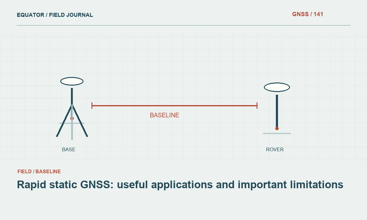
Rapid static GNSS uses stationary observations collected over a shorter session than a conventional long static plan. The exact distinction depends on equipment, processing method and project practice. Its attraction is field efficiency: a crew can occupy more marks while retaining raw observations for later processing. The tradeoff is that a shorter time span generally provides less opportunity to observe changing geometry and recover from poor tracking or other unfavorable conditions.
Do not define suitability by duration alone. A clean session with compatible reference data can be more useful than a longer session with unstable setup or severe obstruction. Conversely, shortening an occupation because a receiver appears stable can remove evidence that the processing method needs. Establish the intended processor, supported observation conditions and acceptance criteria before treating rapid static as the default technique for every control point.
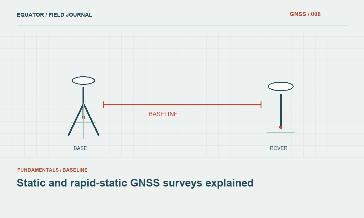
Continue learning Static and rapid-static GNSS surveys explained
Match the method to the control objective
Determine whether the point will support a local mapping task, an engineering control network or another application. Review the applicable specification and uncertainty requirements. Some projects may allow a short static procedure under prescribed conditions; others require more extensive observation or independent connections. A generic equipment capability statement does not replace the project method, and an online processor's minimum input rule does not guarantee acceptance for every survey purpose.
Consider the consequences of a failed session. If returning to the site is expensive, a longer occupation or an additional independent session may be more efficient overall. If a point is essential to a network, plan meaningful redundancy rather than relying on a single fast result. The field schedule should include time to verify recording and remake a setup when the evidence suggests that the original occupation may be inadequate.
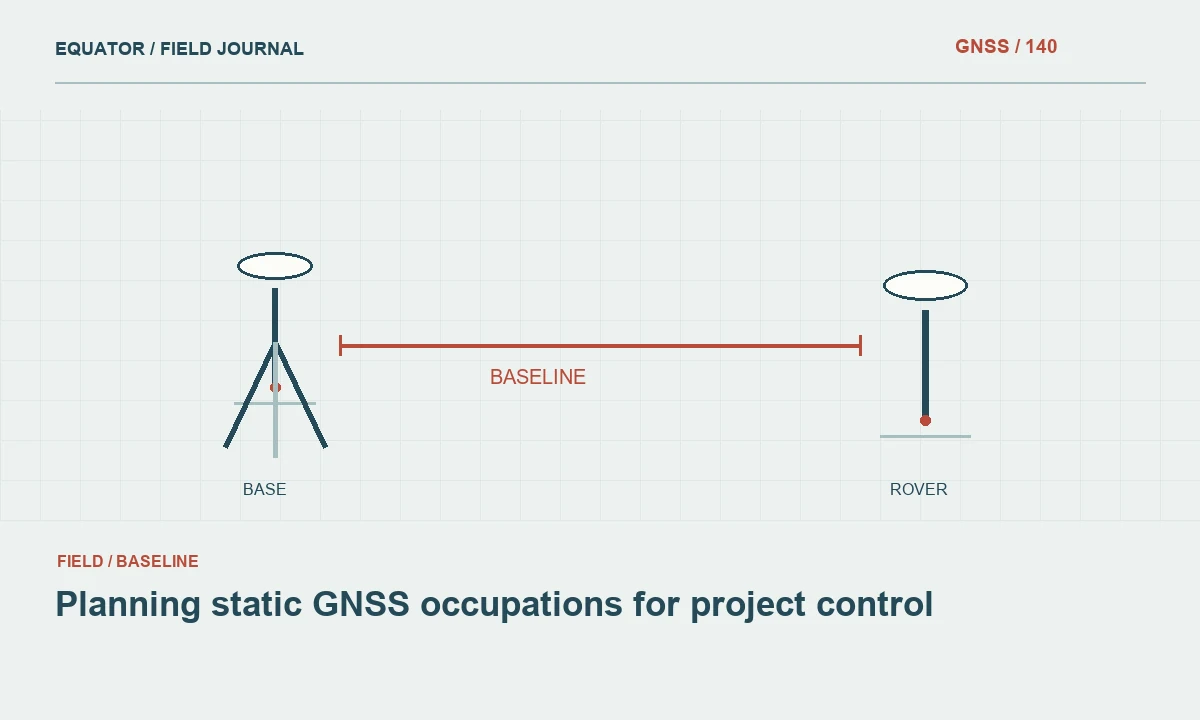
Continue learning Planning static GNSS occupations for project control
Be realistic about environment and baseline conditions
Short observations can be particularly vulnerable to poor satellite geometry, multipath and tracking interruptions because there is less time to average changing effects or rebuild continuous carrier phase arcs. Inspect the site before starting. Trees, buildings and reflective surfaces should influence the method selection, not merely appear as notes after a disappointing result. A more open nearby mark connected by another survey method may provide a better solution.
Baseline geometry and atmospheric differences also matter. Observations at a rover and reference station must support the intended relative processing approach. Do not assume that a procedure successful on a short open baseline will perform identically over a substantially different distance or elevation difference. Use the processor's guidance and project evidence to set an appropriate plan, and keep the reference station selection associated with the session record.
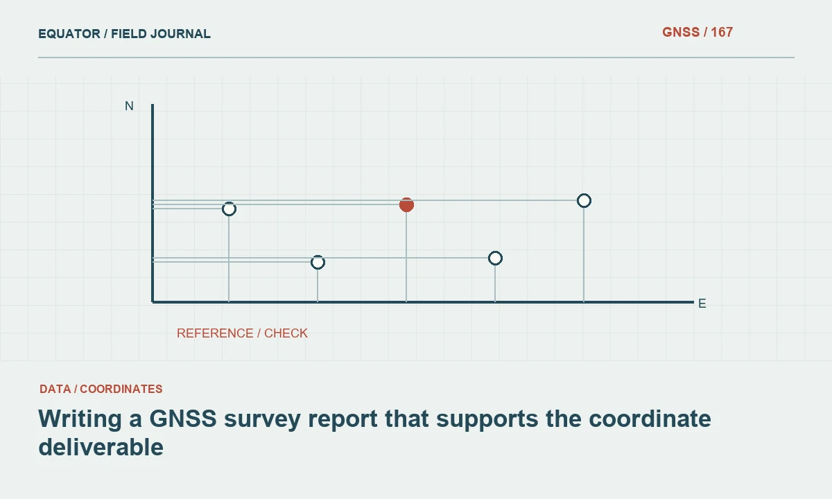
Continue learning Writing a GNSS survey report that supports the coordinate deliverable
Protect setup quality despite the faster schedule
Rapid collection can encourage rushed centering, uncertain antenna height entry and inconsistent mark naming. These mistakes are not reduced by a sophisticated processor. Use the same disciplined setup checks as for longer occupations: identify the mark, verify the antenna reference point, record height and method, confirm stability and ensure raw data recording is active. The time saved by a shorter session should not be taken from these essential controls.
Check the recording interval and the signals stored. A short file with an unsuitable interval or missing observations may offer little usable information. Confirm the receiver clock and session time labels sufficiently to locate matching reference data. Preserve the equipment identifiers and any configuration changes. When several marks are occupied in quick succession, a simple session log prevents files from being assigned to the wrong physical point during office processing.
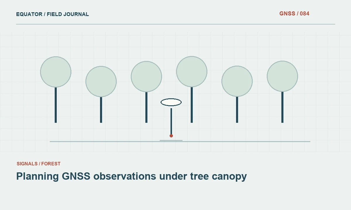
Continue learning Planning GNSS observations under tree canopy

Use repeats to test the fast procedure
Plan independent occupations on selected marks, especially during initial evaluation of a rapid static workflow. Remake the setup and introduce appropriate separation or reference diversity according to the project method. Compare the resulting coordinates in a common framework. Agreement supports the procedure under those tested conditions, while disagreement identifies a need to investigate observation quality, setup or processing assumptions before expanding the method across the project.
Do not combine disagreeing solutions by averaging them immediately. Examine antenna heights, observation continuity, reference coverage, ambiguity information and site conditions first. An average can conceal a blunder and create a coordinate that was never directly supported by a sound session. Where the evidence remains weak, collect a better observation or use another suitable technique rather than making the office calculation increasingly elaborate to rescue an unsuitable file.
Continue learning Static and rapid-static GNSS surveys explained
Interpret processing outcomes cautiously
A successful software run does not necessarily mean the session met the project objective. Read warnings and diagnostic measures in the context of the processor's documentation. Inspect whether enough usable observations remained after editing and whether the solution depends strongly on a questionable reference input. Keep failed runs and their explanations, because repeated failure under a particular condition can reveal that the planned method is inappropriate for that class of site.
For online services, verify the supported data type, session requirements, antenna identification and reference frame of the output. Service behavior can change, so use current official guidance for operational decisions. Preserve the full report with the submitted observations. If two services or processing strategies disagree, reconcile their input assumptions and coordinate definitions before interpreting the difference as an independent measurement comparison.
Continue learning Planning static GNSS occupations for project control
Include the cost of a return visit in method selection
Consider two marks with similar geometry: one is beside the field office, while the other requires a long trip and restricted access. A short session may be a reasonable evaluated method at both, but the consequence of inadequate data is very different. The remote mark may justify a longer planned occupation or an additional independent session while the crew has access. This is a risk based scheduling decision, not a claim that travel distance changes satellite measurement physics.
Document the reason for the chosen plan. If a short occupation is retained, identify what evidence will be reviewed before the crew demobilizes and what contingency remains available. A quick file integrity check cannot replace full processing, but it can detect missing recording or metadata. The efficient approach minimizes total project effort, including office investigation and possible recollection, rather than minimizing only the minutes spent over each mark. Rapid static should therefore be assessed within the complete cost and evidence chain of the survey.
Continue learning Writing a GNSS survey report that supports the coordinate deliverable
Document where the method was accepted
Report the rapid static procedure, observation conditions, processing route and independent checks used to approve the coordinates. Identify any marks that required longer occupations or alternative methods. This helps a future crew understand why apparently similar points have different observation records. It also prevents a successful result at one open site from becoming an undocumented universal rule for all later projects.
Rapid static GNSS can be an efficient part of a carefully designed survey, but its value comes from a suitable application and a clear review path. Treat the shorter occupation as a planned method with limits. Stable setup, adequate observations, compatible references and credible independent checks remain essential, even when the time spent over each mark is deliberately reduced.
Continue learning Planning GNSS observations under tree canopy
Practical checklist
- Understand the tradeoff behind a shorter occupation.
- Include the cost of a return visit in method selection.
- Document where the method was accepted.
Plan your GNSS setup
Compare the EQ10 and EQ20 receiver specifications, then discuss the configuration and support your project needs.
Compare GNSS receivers