Planning static GNSS occupations for project control
Static GNSS planning should connect observation duration, site conditions, reference data and independent checks to the control objective.
Define the purpose of the static session
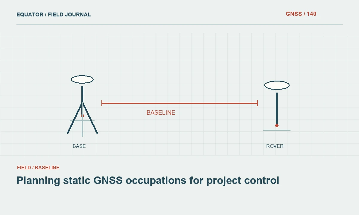
Static GNSS observations collect data while the antenna remains fixed over a defined mark. The method can support control establishment, network connections or independent checks, depending on the equipment, observation plan and processing approach. Begin by specifying the coordinate framework, the required deliverable and the evidence needed for acceptance. Static observation is a measurement method, not an automatic guarantee that every resulting coordinate is suitable for control.
Choose the processing route before the crew mobilizes. A local baseline solution, a network adjustment and an online positioning service can have different input requirements and reporting conventions. Review those requirements directly, including supported data formats, antenna identification, time coverage and reference information. Planning around the intended processor reduces the risk of collecting a long session that cannot be processed or interpreted as the project expects.
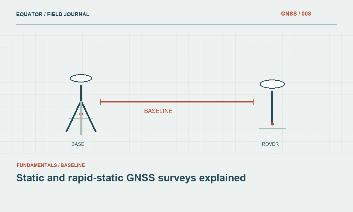
Continue learning Static and rapid-static GNSS surveys explained
Select and document the mark
The antenna position must correspond to a stable, identifiable physical reference. Inspect the monument, surroundings, access and likely disturbance during the occupation. Avoid assuming that a convenient pavement nail or temporary stake will remain stable simply because the antenna can be centered over it. Record photographs, a description and a sketch sufficient for another crew to identify the same mark without relying on a verbal explanation.
Assess the sky view and nearby reflective surfaces. A long observation period does not erase every site problem. Trees, buildings, fences, parked vehicles and metal roofs can affect the observations in different ways as satellites move. Note persistent obstructions and temporary activities. If the mark is important but unsuitable for direct GNSS occupation, consider establishing an appropriate offset or connecting it by another survey technique with a documented measurement chain.
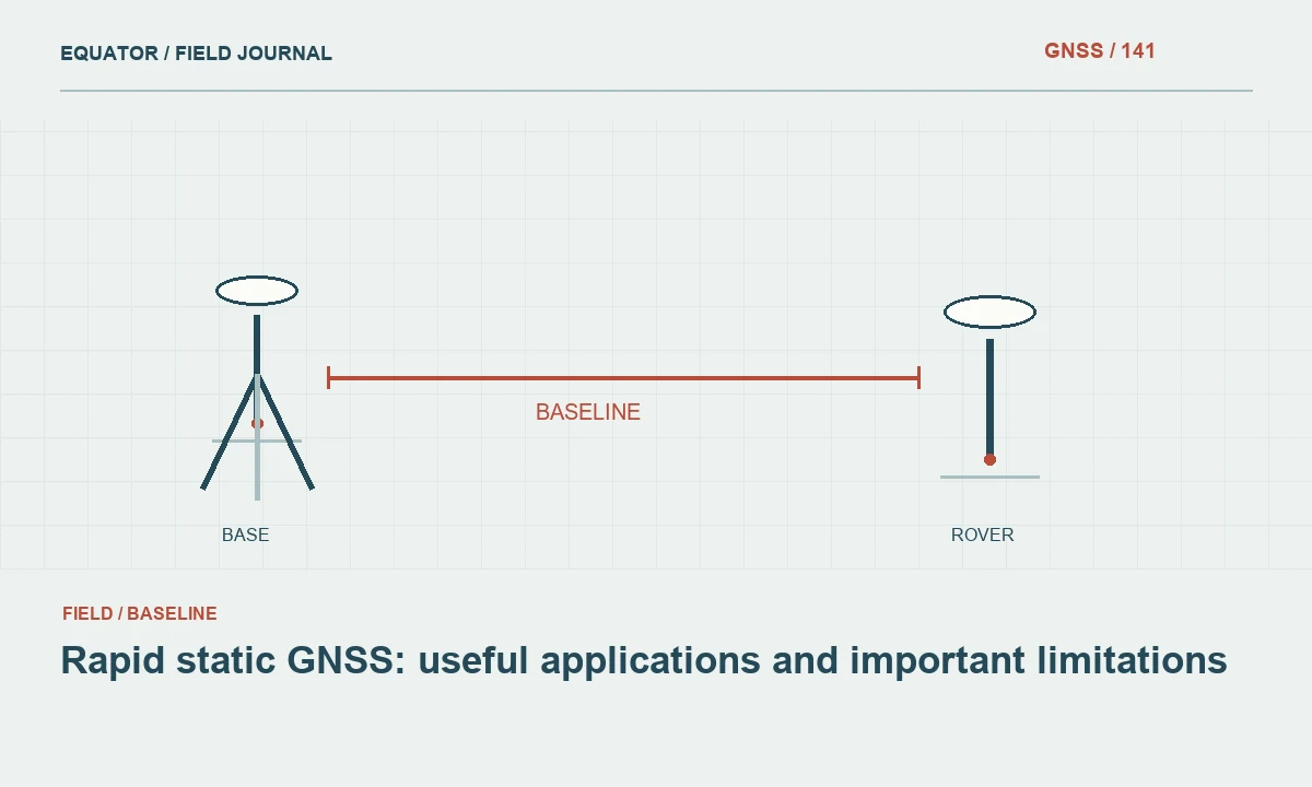
Continue learning Rapid static GNSS: useful applications and important limitations
Plan compatible observation time
Select observation duration and session overlap using the project specification, baseline geometry, receiver capabilities, environment and processing guidance. There is no single duration that guarantees the same outcome for every site and network. Long baselines, difficult atmosphere or obstruction can require a different strategy from a short open connection. Include time for setup, independent height checks and a meaningful repeat if the first session raises concerns.
Confirm that required reference observations cover the session. If using a reference station or service, check data availability, station metadata and the applicable time system. Plan around access restrictions and power capacity as well as satellite visibility. A session ending unexpectedly because of a depleted battery or a locked gate may lose useful overlap, so logistical planning is part of the observation design rather than an unrelated administrative detail.
Continue learning Planning GNSS construction stakeout from design to field evidence
Control antenna setup information
Identify the antenna model and the point to which height is measured. Record the measurement method, units and any required reduction from a slant measurement to a vertical antenna reference point height. Follow the equipment documentation rather than applying a remembered offset from another antenna. Measure carefully before and after the occupation where the project procedure requires it, and investigate any unexplained change.
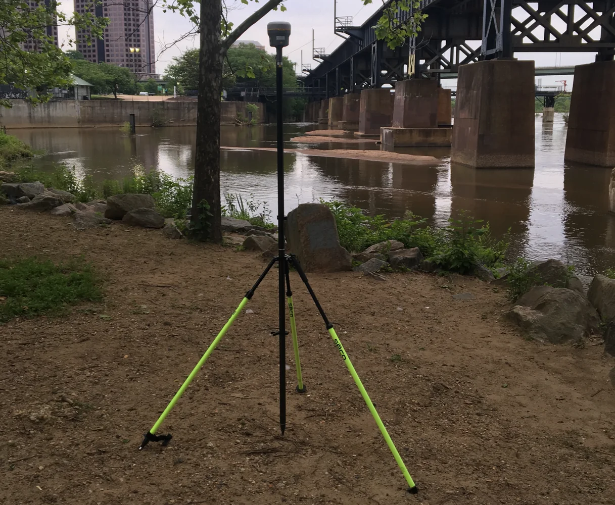
Keep the antenna stable throughout the session. Check tripod or monument attachment, centering, leveling and protection from accidental contact. Avoid moving the antenna to improve reception after recording has begun without clearly ending and documenting the setup. An apparently continuous file can otherwise combine observations from different physical antenna positions, leaving the processor with a misleading assumption that one stationary point was observed for the entire period.
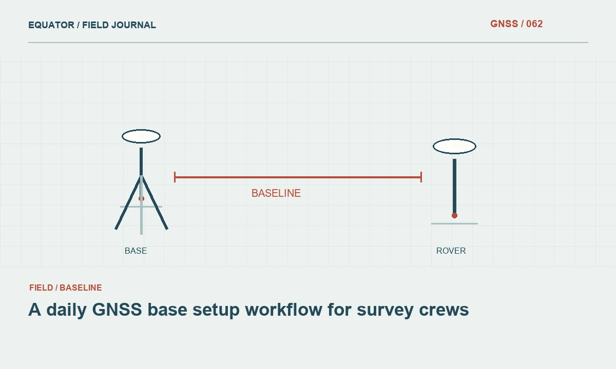
Continue learning A daily GNSS base setup workflow for survey crews
Verify recording while the crew is present
Confirm that raw observations are actually being stored, not merely that the receiver displays a position. Check the file name, available memory, recording interval, tracked signals and start time. Capture a brief setup record linking the receiver serial number, antenna, mark and session. If the controller and receiver maintain separate project files, confirm which one contains the raw data needed for the intended processing route.
During the occupation, monitor operation without disturbing the setup. Record outages, equipment restarts or nearby changes that may affect the data. At the end, stop recording deliberately and confirm the file is complete and readable. Copy it to a second location before leaving when practical. This is the cheapest moment to discover an empty file or an incorrect mark name, because the equipment and crew are still on site.
Continue learning Static and rapid-static GNSS surveys explained
Review the session before accepting coordinates
Check time coverage, observation completeness, tracking interruptions, antenna metadata and reference inputs before focusing on the final coordinate. Inspect the processor's quality indicators and warnings according to its documentation. A coordinate returned by software is the beginning of review, not the end. Compare independent occupations or network connections where planned, and investigate discrepancies with the original setup and field records.
If an online service is used, preserve the submitted file and full report. Confirm the reference frame, epoch, height convention and antenna height interpretation. Avoid copying only the coordinate lines into a spreadsheet and discarding the conditions under which they were computed. Different processing routes can legitimately provide coordinates in different frameworks, so comparisons must account for those definitions before they are interpreted as measurement disagreement.
Continue learning Rapid static GNSS: useful applications and important limitations
Prepare a session sheet that follows the antenna
Use one session sheet for each physical setup, with the mark, antenna, measured height, start and end times, recording interval and file identifiers. If the antenna moves, create a new setup record even when the same receiver continues recording. This keeps the stationary assumption visible and avoids assigning one height or mark name to data collected under more than one arrangement. Include space for interruptions and a second height check where required by the approved procedure.
Before leaving the site, reconcile the sheet with the receiver's actual file list. A crew can then identify a missing session or an unexpected split while recollection remains practical. For a session crossing a date boundary, note both dates and the time convention so reference data can be obtained correctly. The sheet need not be elaborate, but it should connect physical setup evidence to the observations the office will process. That small discipline often prevents more rework than extending every occupation without checking whether the resulting files are correctly identified and complete.
Continue learning Planning GNSS construction stakeout from design to field evidence
Archive a repeatable control record
The completed record should connect the physical mark, setup, raw observations, reference data, processing configuration and accepted coordinate. Include observation dates, antenna details, session interruptions and the independent checks used for acceptance. Retain any rejected run with its review status so future staff can understand why a later solution was adopted. This context is particularly valuable when control is reused months after the original crew has moved on.
Well planned static GNSS work balances time in the field with the quality of the evidence produced. The objective is not simply the longest file. It is a stable setup, suitable geometry, compatible reference data, correct metadata and a clear acceptance path. When those elements are planned together, the final coordinate is easier to verify and much easier to defend in a project handover.
Continue learning A daily GNSS base setup workflow for survey crews
Practical checklist
- Define the purpose of the static session.
- Prepare a session sheet that follows the antenna.
- Archive a repeatable control record.
Plan your GNSS setup
Compare the EQ10 and EQ20 receiver specifications, then discuss the configuration and support your project needs.
Compare GNSS receivers