Planning GNSS observations under tree canopy
Recognize changing signal conditions beneath vegetation and use checks or alternative connections when direct observations are not defensible.
Assess the canopy as an observation environment
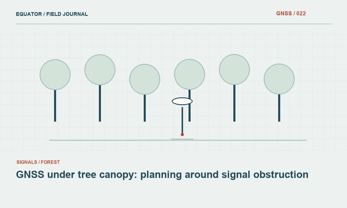
Tree canopy can obstruct and weaken GNSS signals, while branches, leaves and nearby surfaces can contribute to changing observation conditions. The effect varies with the site, vegetation and geometry. A receiver specification or a successful demonstration beneath one tree does not establish reliable results for every wooded location. Inspect the actual point and consider whether the planned method can be verified under the conditions the crew will encounter.
Begin with the physical feature and required coordinate. Is the point a boundary mark, an asset, a tree centre or a terrain observation? Different definitions may permit different approved connections from suitable open control. Avoid choosing a method solely because the rover can display a coordinate at the location. The survey needs evidence that the coordinate represents the intended feature with quality appropriate to its use.
Continue learning GNSS under tree canopy: planning around signal obstruction
Observe the changing sky view
Look at the distribution of obstructions around the antenna, not only the amount of visible sky directly overhead. Gaps between branches can create intermittent tracking as the geometry changes. A high satellite count does not describe the quality of every observation. Record the environment and watch solution behaviour, correction age and coordinate stability together rather than relying on one display value.
Keep local signal conditions separate from communications. A mobile or radio link may also weaken in wooded terrain, creating two simultaneous problems. Inspect whether corrections remain timely when the solution becomes unstable. Moving toward an opening can improve both systems, so record the move and avoid assuming which improvement caused recovery. A clear diagnostic sequence helps the crew choose a practical and evidence based response.
Continue learning Measuring near glass and metal facades with GNSS
Establish suitable nearby checks
Before entering difficult vegetation, verify the system at an appropriate open check point using the intended reference configuration. This confirms a starting measurement state and provides a place to test recovery after interruptions. Record the check rather than treating it as an informal warm up. If the open point fails, resolve the reference or equipment issue before adding the complexity of canopy observations.
Identify possible open control positions that can support alternative measurements to the required feature. Their usefulness depends on the geometry and project workflow, not merely proximity. Preserve the relationship between the control and the target feature. An offset or terrestrial connection should be designed and checked as a measurement method, with the same attention to point definition and reference consistency as a direct GNSS occupation.
Continue learning Rapid static GNSS: useful applications and important limitations
Use direct occupations with a defined procedure
If direct canopy observations are permitted by the project, follow a documented procedure and preserve relevant diagnostics. Repeat important points through a meaningful new occupation or initialization as required. Keep individual results separate before deciding whether to adopt or combine them. Consecutive observations can share errors, so close repeatability under the same branches does not independently prove external agreement.
Do not extend observation time indefinitely as a substitute for understanding the conditions. More epochs can provide useful information, but a persistent local effect or wrong reference setting is not guaranteed to disappear through averaging. If the required checks cannot be met, stop and use the approved escalation route. Record the reason so later users understand why the feature was measured by another method or remains unresolved.
Continue learning Planning GNSS riverbank surveys with clear feature definitions
Consider alternative connections
A suitable nearby point with open sky may support a checked terrestrial or offset measurement to the target. The method should preserve the feature definition and record the measured geometry. Do not create an approximate hand drawn shift and present it as equivalent to a verified survey connection. Use appropriate equipment and the project acceptance procedure, including independent checks where required.
Where raw GNSS observations are collected for later processing, confirm that the alternative workflow is appropriate to the environment and available reference data. A raw file does not automatically make an obstructed occupation recoverable. Preserve the observations and their limitations, and keep provisional coordinates separate from accepted deliverables. The decision to process later should come from a validated workflow rather than an assumption that office software can repair every difficult field point.
Continue learning GNSS under tree canopy: planning around signal obstruction
Document the physical point clearly
Vegetation can hide marks and make recovery ambiguous. Take close and wider photographs and describe the exact contact or feature definition. If a point is associated with a tree, clarify whether the coordinate refers to a defined trunk location, an offset reference or another specified point. A clear feature description matters because a future crew may see a different canopy or surface condition and otherwise occupy a nearby but different location.
Record whether vegetation moved, access changed or the pole could not be held at the intended contact. These are physical observation limitations, not merely background scenery. Keep them linked to identifiers and occupation times. A useful note explains the consequence for the measurement method or acceptance decision instead of saying only that the area was difficult, which gives a later reviewer little basis for evaluating the result.
Continue learning Measuring near glass and metal facades with GNSS
Review results by environment
Compare canopy observations with checks and repeats without hiding failures in a project wide average. Identify areas requiring another method and keep accepted and unresolved points distinguishable. If several crews are involved, review early samples to confirm that the procedure and feature definitions are being applied consistently. This can reveal a training or workflow issue while the crew can still revisit the site.
Look for patterns such as repeated instability near a particular canopy type or after a certain communications interruption, but avoid treating a small sample as a universal performance rule. The useful conclusion may be operational: a particular work zone needs another method or more suitable control. Preserve the evidence supporting that decision and state which conditions remain untested so the result is not overgeneralized to a different project.
Continue learning Rapid static GNSS: useful applications and important limitations
Plan the campaign around realistic evidence
Allow time for reconnaissance, alternative connections and return checks. A production estimate based on open ground collection will often misrepresent a wooded survey. Equip the crew with a tested escalation plan and clear authority to flag unresolved points. This reduces pressure to accept a plausible coordinate simply because a fixed status appeared briefly or the schedule assumed every feature could be occupied directly.
For a hypothetical mark beneath dense branches, an open control point and a verified connection may provide a clearer evidence chain than many repeated direct attempts. The final record should explain that choice and preserve the original rejected observations where required. Canopy work is successful when the method matches the environment and the accepted coordinate is supported by checks, physical context and transparent limitations rather than by a single reassuring receiver label.
Continue learning Planning GNSS riverbank surveys with clear feature definitions
Practical checklist
- Separate canopy observations from correction link problems.
- Verify suitable open checks and prepare alternative connections.
- Preserve individual occupations and flag points that cannot meet the procedure.
Plan your GNSS setup
Compare the EQ10 and EQ20 receiver specifications, then discuss the configuration and support your project needs.
Compare GNSS receivers