Using GNSS antenna calibration information correctly
Antenna calibration, antenna identification and measured setup height are related inputs that must remain consistent through GNSS processing.
Distinguish the physical reference point from signal behavior
A GNSS antenna has a defined reference point used for setup measurements and metadata. The effective reception behavior of its phase center can differ from that physical point and can vary with signal and observation direction. Calibration information helps suitable processing software model those effects. It does not replace the field measurement of antenna height, and it cannot repair an incorrect statement about which antenna or radome was actually used.
Begin by recording the complete antenna identifier, including the relevant radome designation where applicable. Use the naming convention expected by the processing workflow. A familiar brand name or a shortened controller label may not be sufficient to select the correct calibration. Preserve the receiver and antenna serial information where it is part of the project record, particularly for permanent stations or individually calibrated equipment.
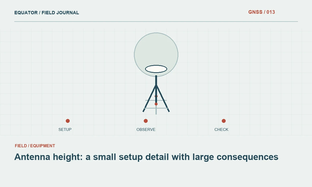
Continue learning Antenna height: a small setup detail with large consequences
Understand what the calibration file supplies
Calibration files such as ANTEX provide antenna related model information in a standardized exchange form. The exact content and supported application depend on the file and processor. Some workflows use type mean calibrations, while others can use individual antenna calibrations. Follow the applicable project and processing guidance rather than assuming that any file containing the antenna name is appropriate for every analysis.
Check the calibration source, version and coverage. A processing package may include an older model library or automatically retrieve a file. Record which one was actually applied. If the antenna is absent, do not silently substitute a visually similar model. Investigate the correct identifier and supported calibration, then document any limitation. An undisclosed fallback makes a result difficult to evaluate and can create inconsistency between otherwise comparable sessions.
Continue learning Archiving GNSS raw observations for useful future processing
Keep setup height and calibration roles separate
The measured eccentricity connects the surveyed mark to the antenna reference point. Calibration connects the antenna model to signal reception behavior within the processor. Confusing these roles can lead to applying an offset twice or omitting it entirely. Use the equipment documentation to identify the height measurement point and method, and verify how the software expects that height to be entered.
Slant measurements may require a specific reduction to a vertical reference point height. An integrated receiver may have a manufacturer defined measurement location. Do not transfer an offset remembered from another model. Record the original measurement and method as well as the value entered into processing. This allows a reviewer to distinguish a field measurement from a later conversion and to correct a verified error without guessing.
Continue learning Pairing RINEX observation and navigation files correctly
Treat radomes and equipment changes as configuration changes
A radome can be part of the calibrated antenna configuration. Its identifier should therefore remain associated with the antenna record. Likewise, replacing an antenna, changing a mounting arrangement or rotating equipment can be relevant to a precise workflow. For a permanent station, maintain a dated equipment history. A continuous observation archive does not necessarily represent one unchanged physical configuration throughout its entire span.
Use clear effective times for changes. If a session spans an equipment intervention, the processor may need separate treatment according to its supported method. Keep photographs and installation notes where useful. A later analyst investigating a coordinate discontinuity should be able to determine whether a hardware change occurred at the same time, rather than infer the station history from unexplained changes in file headers.
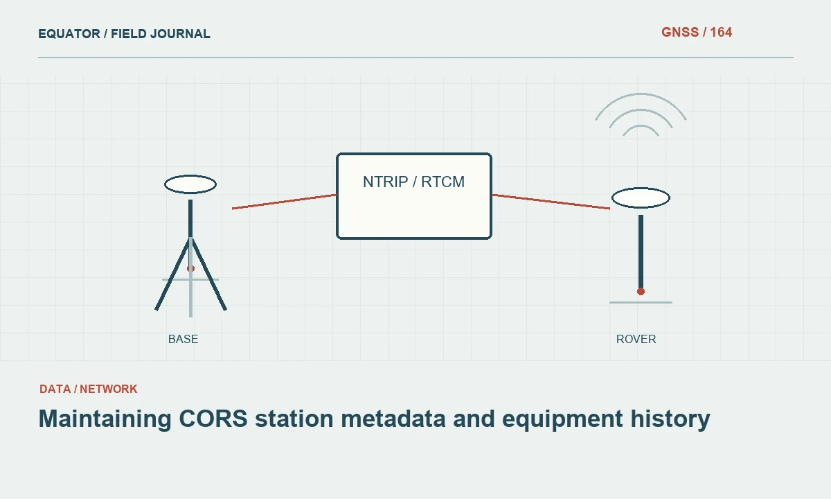
Continue learning Maintaining CORS station metadata and equipment history

Verify the metadata passed through conversion
Raw receiver files, RINEX exports and processing project files can each carry antenna information. Check that the identifier and reference point height remain correct at every stage. A conversion tool may use a default antenna name or require manual entry. Inspect the exported header and the processor's interpreted setup, because a correct field notebook does not guarantee that the correct metadata reached the final calculation.
When software reports an unknown antenna or missing calibration, resolve the warning before accepting a precise result. Check spelling, naming conventions, library versions and configuration compatibility. Retain the original file and any corrected derivative with a documented reason. Editing metadata should be based on the actual setup evidence, not on whichever antenna selection produces the most pleasing coordinate or removes a warning most quickly.
Continue learning Antenna height: a small setup detail with large consequences
Review a practical processing discrepancy
Suppose two analysts process the same static session and obtain different heights. One uses the correct antenna identifier and measured reference point height; the other uses a generic antenna entry and a height value copied from a controller screen without checking its meaning. The disagreement cannot be attributed solely to satellite products. The setup interpretation and calibration selections must first be reconciled in a controlled comparison.
After aligning those inputs, rerun the processing and inspect the coordinate changes and quality diagnostics. Preserve the earlier reports to explain the correction. If a difference remains, review other model and reference assumptions rather than applying a manual vertical shift. This approach keeps the investigation tied to known physical and computational inputs and avoids disguising a metadata problem as a local datum adjustment.
Continue learning Archiving GNSS raw observations for useful future processing
Reconcile a replacement antenna with the station history
Imagine a permanent station whose antenna is replaced after a fault. The new unit is installed on the same mount, but the operator must still verify its identifier, radome, reference point relationship and effective installation time. Reusing the previous metadata without checking can associate later observations with the wrong calibration or physical offset. The apparent continuity of the station name does not establish continuity of every measurement input.
Keep the maintenance record, photographs, offset measurements and updated observation headers aligned. If a historical header was wrong, distinguish that metadata correction from the physical replacement event. An analyst investigating a coordinate discontinuity needs to know whether equipment changed, the description changed or both occurred. This example shows why antenna information belongs in a dated configuration history rather than a single current equipment list. It also gives future processors enough context to apply the appropriate model to each observation period without guessing from the most recently installed hardware.
Continue learning Pairing RINEX observation and navigation files correctly
Archive enough information for reprocessing
Retain antenna identifiers, radome information, measured heights, measurement methods, calibration file identifiers and processing reports with the observations. For permanent installations, include equipment history and relevant site log records. Where an individual calibration is used, preserve the association between that calibration and the physical antenna. These records support later reprocessing when software libraries or reference products change.
Use a clear manifest to distinguish calibration files delivered for reproducibility from optional library files that were present but never selected by the processor.
Antenna calibration is one part of a coherent measurement model. Its benefit depends on correct identification, reliable setup measurements and transparent handling through conversion and processing. When those elements are preserved together, a future reviewer can understand how the coordinate relates to the physical mark and can reproduce the solution without reconstructing antenna assumptions from incomplete notes.
Continue learning Maintaining CORS station metadata and equipment history
Practical checklist
- Distinguish the physical reference point from signal behavior.
- Reconcile a replacement antenna with the station history.
- Archive enough information for reprocessing.
Plan your GNSS setup
Compare the EQ10 and EQ20 receiver specifications, then discuss the configuration and support your project needs.
Compare GNSS receivers