Archiving GNSS raw observations for useful future processing
Preserve original files, configuration and provenance so a raw-data archive remains understandable beyond the day it was collected.
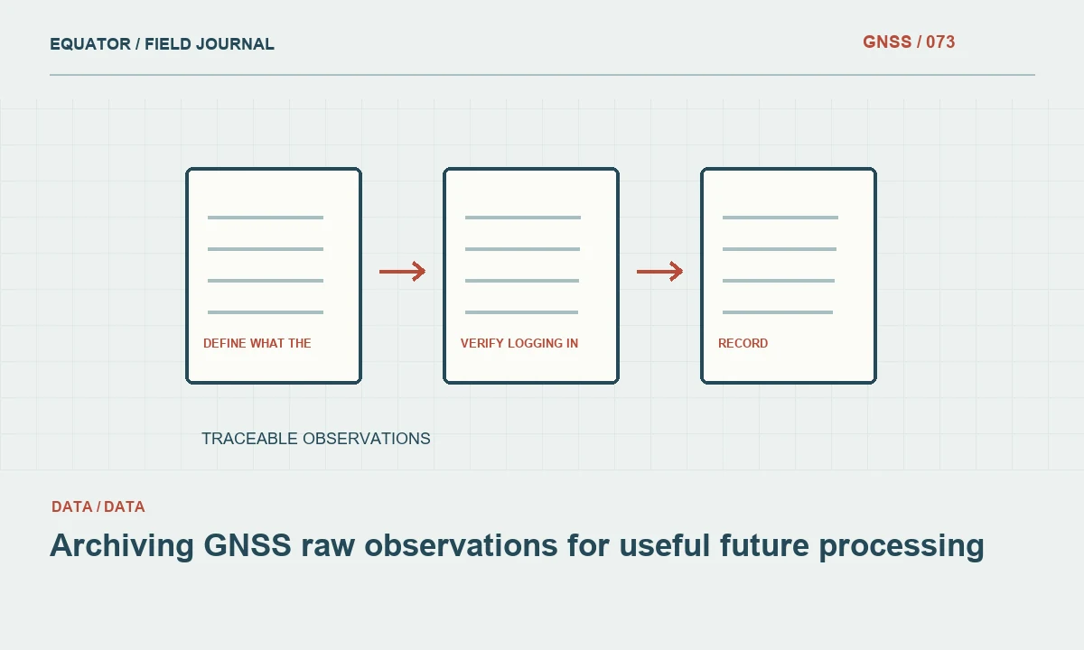
Define what the archive must preserve
A raw GNSS archive should retain the observations and the context needed to interpret them. A folder of receiver files without setup information may be difficult to process reliably, while a final coordinate spreadsheet cannot replace the underlying observations. Begin with the project purpose: possible reprocessing, a control audit, a handover or long term reference work may require different supporting records. State the requirement before deciding which files to keep.
Distinguish original receiver data, converted exchange files, processing outputs and final coordinates. Each has a role and should be labelled accordingly. A converted RINEX file can improve interoperability, but it is still a derived product with conversion settings and possible limitations. Preserve the original where the project policy permits, then keep the conversion history alongside it. This avoids treating an undocumented transformation as though it were the untouched field record.
Continue learning Exporting GNSS data to GIS without losing its meaning
Link files to physical setups
Use setup identifiers that connect observations to the mark, receiver, antenna and measurement interval. Record antenna height method, raw height reading and relevant adapters. Include reference coordinates and their source for base setups. The archive should make it possible to explain which physical arrangement produced a file without relying on the filename alone or on the memory of the operator who downloaded it.
Keep equipment identifiers and firmware versions where they affect interpretation. If an antenna or adapter changed during the day, preserve a clear event boundary. Do not combine files from different setups under one generic daily label without retaining the original distinctions. A processing package may accept the merged file, but successful import does not prove that all observations share the same geometry or reference assumptions.
Continue learning Creating an audit trail for GNSS survey data
Verify logging in the field
Confirm that logging actually starts, covers the intended period and has adequate storage. Check status during the session according to the equipment workflow. A setting left enabled from yesterday is not evidence that today's file is complete. Record interruptions, restarts and deliberate changes to the logging configuration. These notes help explain gaps that might otherwise look like a failed transfer or a processing software defect.
At the end of the session, inspect the available file information before leaving the site. Check dates, observation interval and plausible size using supported tools. Where practical, verify that the file can be read or converted through the intended workflow. A quick integrity check cannot establish final positioning quality, but it can reveal an empty or unreadable record while a repeat observation may still be possible.
Continue learning Using GNSS antenna calibration information correctly
Transfer without losing provenance
Copy files through the approved method and preserve their original names in a controlled source folder. Record the transfer date and operator. Avoid editing the only copy or allowing a synchronization program to replace it silently. A checksum can help confirm that a copied file matches its source, provided the project stores the checksum and uses it as an integrity check rather than a claim about measurement accuracy.
Keep at least the project required backup arrangement and verify that the copies are accessible. A second folder on the same failing device may not provide the resilience the team expects. Follow the organization's storage and access policy without improvising public sharing links for convenience. Raw files and supporting records can include project locations and other information that should remain within the authorized workflow.
Continue learning Pairing RINEX observation and navigation files correctly

Record conversions and processing inputs
When generating RINEX or another exchange format, record the converter version, settings and output names. Inspect antenna identification, observation times and available signals where the tools support it. A conversion can change which information is represented or how it is labelled. Keep conversion warnings and do not assume that a file extension alone proves the record contains every observation needed by the intended processing method.
Store reference station data and external products with their source and applicable interval when the project requires reproducible processing. A later analyst needs to know more than which final coordinate was adopted. Preserve the inputs, processing configuration and relevant messages that explain how the result was obtained. If a service supplied a processed result without all underlying inputs, document that boundary rather than implying a fully reproducible local solution.
Continue learning Exporting GNSS data to GIS without losing its meaning
Use a clear archive structure
Organize by project, date and setup, with separate areas for originals, derived files and approved outputs. The exact folder names matter less than consistent meaning. Include a short index that maps files to observation intervals and setup records. Avoid a proliferation of folders called final, final new and final latest, since those names do not communicate which dataset was approved or which processing step produced it.
Keep working experiments separate from the accepted processing record. An analyst may test several antenna models or processing options during diagnosis; those trials should not become indistinguishable from the approved result. Preserve enough history to explain a decision while clearly marking superseded outputs. A clean archive is not one that deletes all unsuccessful work. It is one that makes the status and provenance of each retained item understandable.
Continue learning Creating an audit trail for GNSS survey data
Test recovery from the archive
Choose a representative session and ask someone other than the original operator to locate its raw observations, setup geometry and processing configuration. If practical, reopen or reprocess the sample through the documented route. This exercise exposes missing context that a simple file count cannot reveal. The aim is to test whether the archive supports its intended use, not merely whether a backup application reports that synchronization completed.
Record any limits, such as unavailable proprietary conversion software or missing reference data. Address them while the project is active where possible. Do not claim that raw logging guarantees every real time failure can later be repaired; recoverability depends on usable observations and an appropriate processing route. The archive preserves opportunities and evidence, while the acceptance of a processed coordinate still depends on checks and project criteria.
Continue learning Using GNSS antenna calibration information correctly
Close with an archive manifest
Prepare a manifest identifying original files, derived products, setup records, processing outputs and approved deliverables. Include coordinate reference information, time conventions and significant equipment events. Keep the manifest in a common readable format and preserve links or paths that will remain meaningful after handover. A path pointing only to one operator's temporary desktop folder is not a durable project reference.
For example, a session with a midday battery restart should have two source intervals and an event note, even if the final coordinate dataset is continuous. The manifest makes that history visible and allows the analyst to inspect the appropriate interval. A useful GNSS archive is therefore a connected record of observations, geometry and decisions. Its value emerges when another person can answer a new question without recreating the entire field campaign.
Continue learning Pairing RINEX observation and navigation files correctly
Practical checklist
- Preserve originals and label derived conversions separately.
- Link every observation interval to its physical setup.
- Test retrieval with a person who did not collect the data.
Plan your GNSS setup
Compare the EQ10 and EQ20 receiver specifications, then discuss the configuration and support your project needs.
Compare GNSS receivers