Choosing and documenting a GNSS satellite elevation mask
An elevation mask trades low angle observations against geometry and visibility; the setting should be tested within the complete survey method.
Understand what the mask controls
A satellite elevation mask sets a minimum elevation angle for observations to be used or recorded, depending on the receiver and software configuration. Satellites near the horizon can have longer paths through the atmosphere and may be more vulnerable to obstruction or reflection. Excluding them can reduce some troublesome observations, but it also reduces available geometry. The best setting is therefore not simply the highest or lowest number the equipment permits.
Distinguish the recording mask from the processing mask if the system supports both. A receiver may store observations that the real time solution does not use, while an office processor may apply a different selection. Record the relevant settings and understand their roles. Once an observation was never recorded, a later processing change cannot recover it from the file, so collection choices deserve particular attention.
Continue learning Satellite count and signal quality: what to check together
Consider the site rather than a universal rule
An open field, a forest edge and a street between buildings present different observation conditions. Inspect the sky view and reflective surroundings before deciding whether a standard project configuration remains suitable. A high mask can remove useful satellites in an already obstructed area, while a low mask can admit observations with poor local conditions. The setting should work with site selection and measurement technique rather than substitute for them.
Follow the project specification and equipment guidance, then evaluate representative conditions with independent checks. Historical technical guides sometimes provide example settings, but those examples should not be treated as a universal guarantee for every modern receiver, constellation and task. If the project changes the default, record the reason, the tested evidence and the range of conditions to which the decision applies.
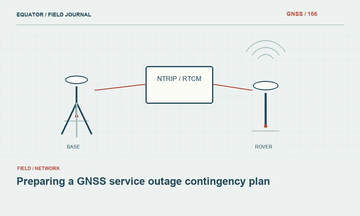
Continue learning Preparing a GNSS service outage contingency plan
Review geometry and observation quality together
Satellite count alone does not describe positioning strength. The distribution of usable satellites matters, and quality can vary between signals. A mask change can alter both the number and arrangement of observations. Review geometry indicators alongside tracking continuity, signal quality, solution behavior and independent coordinate checks. A lower DOP value can be encouraging without proving that reflected or biased observations have been eliminated.
Pay attention to the vertical component. Geometry and atmospheric modeling can affect height differently from horizontal position. If a mask change appears to improve one quality indicator while height checks deteriorate, investigate the full pattern. Do not select a configuration solely because one controller value becomes smaller. Preserve the original observations and settings so the comparison can be reviewed without relying on memory of a screen display.
Continue learning Using DOP for GNSS field scheduling without overpromising accuracy
Plan controlled configuration tests
Choose a representative site and a suitable reference or repeated observation strategy. Compare approved configurations while keeping other inputs as consistent as practical. Record the observation time, environment, correction source and any tracking interruption. Because satellite geometry changes with time, sequential tests are not perfectly identical; acknowledge that limitation rather than interpreting every coordinate difference as the isolated effect of the elevation mask.
Where raw observations and processing software permit, compare processing masks using the same recorded dataset. This can help isolate one selection decision, although it still does not test observations excluded at recording time. Review the processor's weighting model as well, because low elevation observations may already receive different weights. The mask and weighting strategy are related choices that should be interpreted within the supported processing method.
Continue learning Recognizing tropospheric error in GNSS survey planning

Recognize when another method is needed
If a point is surrounded by severe obstruction or reflective surfaces, repeated setting changes may not produce credible evidence. Consider an open offset point connected by another survey technique, or a different observation plan. A fixed solution label does not prove that an unsuitable site has become suitable. The acceptance decision should include independent checks and the physical measurement conditions, not merely the absence of a warning.
Avoid masking away symptoms without understanding them. If a particular direction contains persistent interference or reflection, document the site condition. A changed mask may improve the result for one observation period while failing at another as satellites move. The project record should identify difficult locations and the method used to address them, allowing future crews to make an informed choice rather than inherit an unexplained special setting.
Continue learning Satellite count and signal quality: what to check together
Keep configuration changes traceable
Use a standard project configuration where appropriate and give approved variations identifiable names or versions. Record when a setting changed and which points were collected under each configuration. If the controller and receiver store separate settings, verify both. An office analyst should not have to guess whether a point's unusual behavior reflects a different mask, a different correction source or a different height transformation.
For postprocessing, retain the processing configuration with the final report. If a mask was changed during investigation, preserve the earlier run and the reason for the accepted choice. This supports reproducibility and discourages selecting settings retrospectively only because they move a coordinate toward the expected answer. A sound configuration decision is supported by observation quality and independent evidence, not by numerical convenience alone.
Continue learning Preparing a GNSS service outage contingency plan
Compare two competing site constraints explicitly
At a site with an open southern horizon and a reflective structure to the north, a single elevation mask cannot represent every directional condition. Raising the mask may remove problematic low observations while also removing useful observations in the open direction. The appropriate method depends on the equipment, processor and project requirements. This is a reason to inspect the site and test the approved strategy, not a reason to invent undocumented directional exclusions in a production dataset.
Record the actual configuration and compare independent checks under representative conditions. If the evidence remains weak, a different mark or measurement chain may be preferable to increasingly elaborate settings. The example helps operators understand that geometry and observation quality are competing considerations, rather than two indicators that always improve together. A successful configuration decision should explain why the accepted observations support the intended coordinate, while preserving enough detail for another crew to recognize when the same site conditions have changed and the earlier decision needs review.
Continue learning Using DOP for GNSS field scheduling without overpromising accuracy
Explain the setting as part of the method
The handover should state the relevant mask settings, their role in recording or processing and any project specific exceptions. Include the verification approach and known limitations in difficult environments. There is usually no need to overwhelm a client with every receiver parameter, but the technical archive should contain enough detail for another surveyor to reproduce the collection and understand the accepted coordinate evidence.
An elevation mask is a useful control within a broader GNSS workflow. It helps manage which observations contribute, but it cannot establish correct antenna height, reference coordinates or feature identification. Its value is greatest when site inspection, geometry review, suitable weighting and independent checks all support the same documented survey method.
Continue learning Recognizing tropospheric error in GNSS survey planning
Practical checklist
- Understand what the mask controls.
- Compare two competing site constraints explicitly.
- Explain the setting as part of the method.
Plan your GNSS setup
Compare the EQ10 and EQ20 receiver specifications, then discuss the configuration and support your project needs.
Compare GNSS receivers