Planning for changing GNSS constellation availability
Visible satellites, tracked signals and observations actually used in a solution are different measures of GNSS availability.
Define availability in terms of the task
GNSS availability can mean several things: satellites above a planning horizon, signals tracked by a receiver, observations accepted by a processor or a usable positioning solution at a required time. These measures are related but not identical. A project should define what availability means for its workflow, especially when it depends on real time corrections, specific signals or an accuracy objective that requires stronger evidence than a basic navigation position.
Avoid relying on a fixed global satellite count. Constellations, satellite health and supported signals can change, while local visibility changes throughout the day. Use current official status information and a suitable planning tool when operational decisions depend on availability. The useful question is which observations the actual equipment and processing method can use at the project location, not how many spacecraft are named in a general marketing description.
Continue learning Satellite count and signal quality: what to check together
Match constellation support to the complete system
Check the receiver's documented signal support and enabled configuration. Then review the correction source, controller and processor. A receiver may track a signal that is not supported by the chosen correction stream or software workflow. Such observations can still appear in diagnostics without contributing as expected to the accepted solution. Record the supported combination rather than treating the receiver specification alone as a complete system capability statement.
Firmware, licenses and configuration can also affect available features, depending on the equipment. Verify the actual unit rather than assuming that every device with a similar model name is configured identically. Use an equipment acceptance test and retain the configuration record. If the project changes software or correction services, reassess compatibility instead of assuming that the previous constellation behavior will remain unchanged.
Continue learning Using DOP for GNSS field scheduling without overpromising accuracy
Account for the local horizon
Buildings, terrain, vegetation and temporary obstructions determine which satellite directions are usable at a site. A multi-constellation receiver can improve the pool of possible observations, but it cannot create a clear line of sight through every obstruction. Inspect the mark and compare actual reception with planning assumptions. A high satellite count can coexist with poor geometry or reflected observations in a difficult environment.
Where planning tools support a horizon mask, use a documented representation appropriate to the site. Otherwise, state that the forecast assumes a more open environment than may be available. For important control or constrained features, plan an alternative location or measurement method. More constellations are useful when they strengthen the observations actually available, rather than simply increase a number on the controller screen.
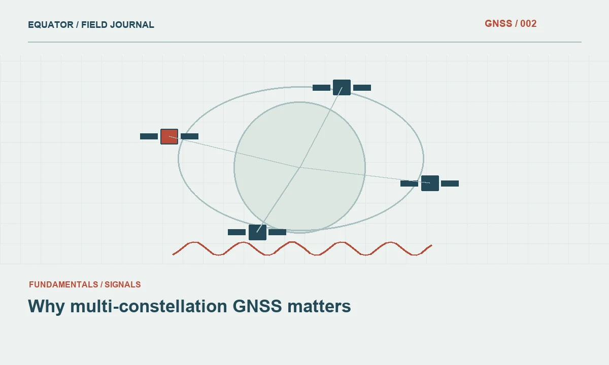
Continue learning Why multi-constellation GNSS matters
Review geometry as well as count
The distribution of satellites influences position estimation. Several satellites clustered in a similar part of the sky do not provide the same geometry as a well distributed set. Use relevant geometry indicators alongside observation quality and independent checks. Do not set an acceptance rule based only on the number tracked, because it can miss weak vertical geometry, local reflections or a common coordinate framework problem.
Review the effect of excluded or unhealthy satellites through the processor's supported diagnostics. A system can track an observation while appropriately refusing to use it. Conversely, an import or compatibility problem can exclude useful data unintentionally. Keep the distinction visible in the processing report so a later reviewer can understand why the final solution used fewer observations than the receiver's field display suggested.
Continue learning Designing a backup and recovery strategy for GNSS projects

Monitor changes during a session
Availability changes as satellites rise, set or become obstructed. A static occupation samples changing geometry, while a moving platform also changes its local horizon. Preserve timestamps and quality information so interruptions can be related to the actual route or observation period. A single screen capture at the beginning of a session does not describe the conditions throughout the complete dataset.
For real time work, track correction continuity separately. A usable satellite set does not guarantee that the receiver receives compatible corrections. If initialization becomes unstable, compare signal availability, correction status and site conditions before assigning a cause. Structured event notes make this investigation easier than a general statement that fewer satellites were available, especially when the issue actually involved a service or configuration dependency.
Continue learning Satellite count and signal quality: what to check together
Plan for degraded availability
Define the response when the approved method cannot produce suitable evidence. Options may include waiting for a different observation period, moving to an appropriate offset, collecting a planned repeat or using another survey technique. The project specification should guide the choice. Do not let a broad equipment capability claim override a failed independent check at the actual point being measured.
Include contingency time and suitable control in the field plan. If a key mark has a narrow usable observation window, verify that access and setup can support it. Consider whether relocating new control would provide a more sustainable long term solution. A network that works only under unusually favorable conditions can create recurring delays for future crews even if the initial campaign manages to complete every occupation.
Continue learning Using DOP for GNSS field scheduling without overpromising accuracy
Verify configuration changes with representative data
When enabling additional constellations or changing a correction workflow, test the complete system on suitable known points and representative difficult sites. Review solution behavior, raw data compatibility and check discrepancies. A configuration that improves initialization at one location may have other processing implications. Retain the before and after settings so the accepted method can be reproduced and any later change investigated.
Do not interpret agreement between two configurations as proof that both are externally accurate. They can share base coordinates, antenna height and local transformations. Use independent references where the project objective requires them. The evaluation should identify what changed in observation availability and whether the complete workflow still meets the accepted method, rather than simply announce that more satellites were enabled successfully.
Continue learning Why multi-constellation GNSS matters
Keep planning and solution counts side by side
For a representative test, record the planned visible satellites, the receiver's tracked observations and the subset reported as used by the solution. Differences can be legitimate or can reveal a compatibility issue. Investigate them with the documented workflow rather than trying to force every count to match. This small comparison teaches the crew why availability has several meanings and gives the office evidence to explain a result that used fewer observations than a field screenshot appeared to promise.
Continue learning Designing a backup and recovery strategy for GNSS projects
Document the operational meaning of availability
The technical record should identify enabled systems and signals, relevant software and firmware, correction compatibility, planning assumptions and known limitations. Include actual quality evidence and contingency actions where availability affected collection. The client facing summary can focus on the resulting verification without reproducing every satellite log, while retaining those logs in the archive when they support acceptance decisions.
Constellation diversity is valuable, but availability is ultimately a property of the complete workflow at a particular place and time. By distinguishing visible, tracked and used observations, the team can plan more realistically, diagnose interruptions more quickly and avoid treating a changing satellite count as a substitute for reliable survey evidence.
Continue learning Satellite count and signal quality: what to check together
Practical checklist
- Define availability in terms of the task.
- Keep planning and solution counts side by side.
- Document the operational meaning of availability.
Plan your GNSS setup
Compare the EQ10 and EQ20 receiver specifications, then discuss the configuration and support your project needs.
Compare GNSS receivers