Cross-checking suspicious GNSS positions without jumping to conclusions
Unexpected but plausible coordinates require independent checks; a smooth GNSS solution alone does not establish trustworthy positioning.
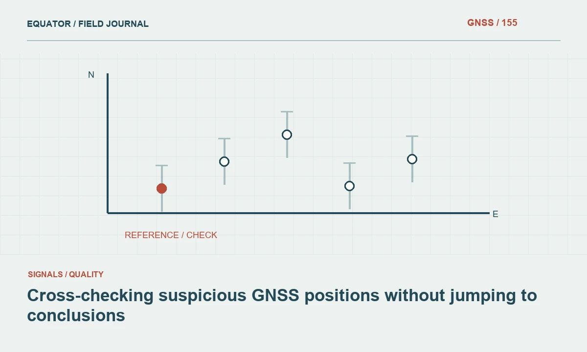
Treat an implausible position as an integrity concern
GNSS spoofing refers broadly to deceptive signals or information that can cause a receiver to report misleading positioning or timing. For a survey crew, a suspicious coordinate is first an integrity concern: the evidence may not support continued use of the position. Similar symptoms can also arise from wrong reference coordinates, coordinate system settings, timing errors or software behavior. Begin by pausing reliance on the result and preserving the conditions under which it appeared.
Do not assume that a smooth trajectory, a fixed solution label or a small displayed uncertainty proves the position is trustworthy. Those indicators describe aspects of the receiver's model and observations. They do not independently verify the physical location, coordinate framework or signal origin. Conversely, one unexpected coordinate does not prove a spoofing event. The response should test the measurement chain systematically while keeping causal claims proportional to the evidence.
Continue learning Accuracy, precision and uncertainty in GNSS reports
Preserve the original state before changing settings
Record time, location, receiver configuration, correction source and the exact symptom. Save relevant logs, raw observations and screenshots where available. Note whether the suspicious behavior affected position, time or both. Keep the original project and data files unchanged, then perform diagnosis in a controlled copy or through a documented configuration change. This prevents a later investigation from depending on memories of settings that were overwritten during troubleshooting.
Describe what the crew observed in concrete terms. A coordinate shifted while the antenna remained stationary, a known control check failed or a trajectory moved in a physically implausible way are useful statements. An unsupported claim about a transmitter or attacker is not. A factual record remains useful even if the eventual cause is an ordinary datum mistake rather than deceptive radio signals.
Continue learning Responding to suspected GNSS interference in the field
Check coordinate and setup explanations
Verify the project reference frame, projection, units, axis order, reference epoch and height convention. Confirm base coordinates and any local transformation. Check point identity and antenna height. A consistent displacement can arise from these common inputs while the GNSS solution remains internally stable. Review recent imports or template changes, because an apparently minor configuration update can alter the coordinate interpretation across an entire crew.
Compare the current configuration with an approved project template or a previously verified record. Do not simply select a different coordinate system until the map appears aligned. Any correction should be based on the documented framework and independent control. Preserve the before and after settings and identify which observations were affected. This creates a traceable explanation if the concern proves to be a configuration error.
Continue learning Managing GNSS field operations during changing solar activity
Use genuinely independent location evidence
Check a suitable physical control mark whose identity and coordinate provenance are understood. Where appropriate, compare with another survey technique that has an independent control chain. A second GNSS receiver may be helpful, but it can share the same vulnerable signals, reference service or configuration assumptions. Agreement between two similar receivers is therefore not a universal test that rules out a common problem.
Use independent evidence according to its limitations. A consumer map, photograph or visual landmark can reveal a gross inconsistency without supporting a precise survey accuracy conclusion. A total station check can be strong evidence if its setup and control are sound, but weak if it was oriented from the same questionable GNSS points. Document the dependencies so the reviewer understands what the cross-check actually tests.
Continue learning Choosing and checking control points for coordinate transformations
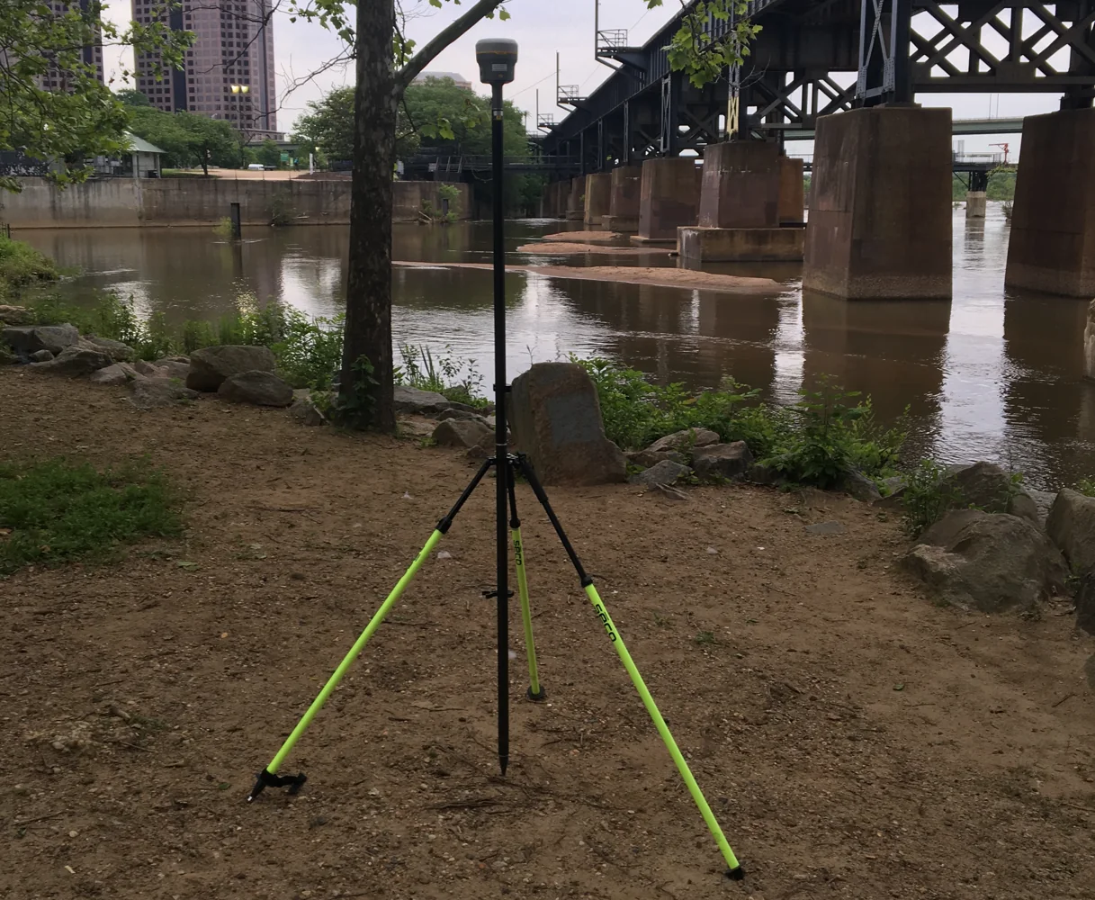
Compare behavior across time and equipment
Identify whether the anomaly began at a specific time, location or configuration change. Compare reports from separate crews and equipment where practical, keeping shared dependencies visible. A problem limited to one project file suggests a different investigation from simultaneous behavior across independent workflows. Consult official service status and relevant support channels, preserving the information available at the time of the event.
Receiver diagnostics can support the investigation, but interpret them using the manufacturer's guidance. Some equipment offers interference or signal authenticity related features with specific capabilities and limits. Do not turn an unfamiliar indicator into a definitive conclusion about a spoofing source. The crew's immediate quality decision can be made from failed independent verification even when a specialist investigation is needed to determine the cause.
Continue learning Accuracy, precision and uncertainty in GNSS reports
Follow the contingency method
When the position cannot be verified, pause affected collection or switch to an approved alternative method. Confirm that the alternative does not inherit the unresolved coordinate problem. Mark the affected observations as provisional or under review and prevent them from being issued accidentally. Retain the original data for diagnosis rather than deleting it in an attempt to produce a clean project file.
Do not experiment with deceptive signal generation or interfering equipment to reproduce the event. That is outside a normal survey quality workflow and can affect other users. If technical source identification is required, provide the factual record to authorized specialists through the appropriate local process. The survey team's responsibility is to protect the integrity of the work and preserve evidence, not to conduct an improvised radio investigation.
Continue learning Responding to suspected GNSS interference in the field
Verify recovery before normal production
When the behavior appears to stop, repeat the established control checks and review configuration before resuming. A receiver restart can change symptoms without identifying the cause. Record the recovery time, equipment state and verification results. Where the project requires independent occupations, collect them under suitable conditions and preserve each result rather than averaging away a disagreement.
Review points collected before the anomaly became obvious. The affected span may begin earlier than the first failed check, so use logs and project criteria to define a defensible review window. Recollect important points where evidence remains insufficient. Ensure that revised exports clearly supersede provisional versions so a suspicious coordinate does not return later through an old file copied into a downstream system.
Continue learning Managing GNSS field operations during changing solar activity
Preserve the distinction between detection and attribution
A failed independent position check can establish that the workflow is unsuitable at that moment without establishing why. Record that operational conclusion promptly, then leave technical attribution open until stronger evidence is available. This distinction allows the project to protect its data without waiting for a specialist radio investigation. It also prevents an unresolved integrity concern from being reported later as confirmed malicious activity merely because the original event label became more confident as it was repeated between teams.
Continue learning Choosing and checking control points for coordinate transformations
Report uncertainty about the cause honestly
The event report should state observed behavior, independent checks, configuration findings, actions taken and the basis for accepting the final coordinates. Distinguish a suspected integrity event from confirmed spoofing. If a configuration mistake explains the anomaly, document it plainly and improve the workflow that allowed it. If the cause remains unresolved, state that limitation while showing how the delivered data was independently verified.
Careful cross-checking is valuable regardless of the eventual explanation. It prevents confidence in an internally consistent receiver solution from replacing physical and coordinate framework verification. A disciplined process produces trustworthy survey decisions, preserves evidence for specialists and avoids unsupported claims about malicious activity when the available observations establish only that the original positioning result could not be accepted.
Continue learning Accuracy, precision and uncertainty in GNSS reports
Practical checklist
- Treat an implausible position as an integrity concern.
- Preserve the distinction between detection and attribution.
- Report uncertainty about the cause honestly.
Plan your GNSS setup
Compare the EQ10 and EQ20 receiver specifications, then discuss the configuration and support your project needs.
Compare GNSS receivers