Creating point names that remain unique across survey crews
Use a clear identifier scheme so repeated occupations, control points and exports can be traced without renaming errors.
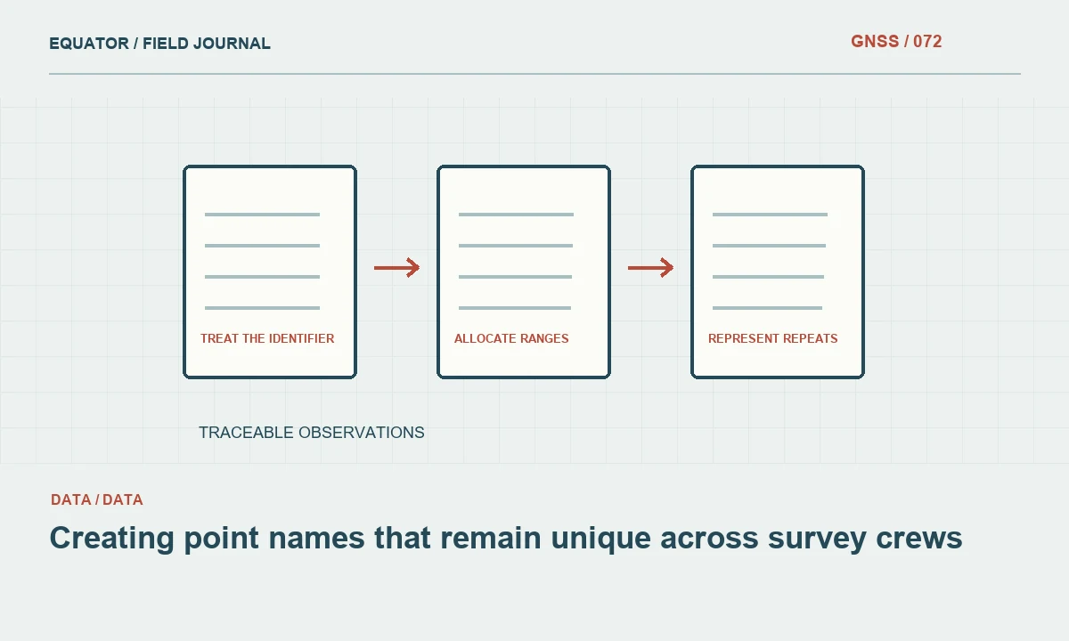
Treat the identifier as a permanent key
A point name connects a coordinate to field notes, photographs, attributes and later processing. Its main job is reliable identification. A name that is convenient on one controller can become ambiguous when several crews merge their work. Design the scheme before production and treat the identifier as a persistent key rather than a label that can be casually changed whenever a spreadsheet looks untidy.
Decide what the identifier represents. A physical mark and an occupation of that mark are related but different records. If every visit receives the same point name and overwrites the previous coordinate, the observation history disappears. If every visit receives an unrelated name, the office may not know that they refer to one location. Use an explicit relationship between mark identity and occupation identity.
Continue learning Repeat observations: creating a stronger GNSS check
Choose a scheme the software can preserve
Check allowed characters, length limits and case sensitivity in the controller and destination programs. Avoid a naming system that depends on punctuation one application removes or a long prefix another truncates. Test leading zeros and names that resemble numbers or dates, because spreadsheet software may reinterpret them. Keep identifiers as text where appropriate and verify that an export and reimport preserve them exactly.
Use simple, documented components. A project or crew prefix and a sequential number can be practical if the allocation is controlled. Do not overload the name with every attribute of the feature. Feature type, date and status usually belong in separate fields that can change without changing the identity. A short stable key with clear attributes is more robust than a long encoded sentence that operators interpret differently.
Continue learning Planning repeat GNSS occupations that reveal errors
Allocate ranges across crews
Give each crew a unique prefix or a controlled block of numbers so two controllers cannot create the same identifier independently. Record the allocation and keep it visible in the job template. If equipment is reassigned between crews, confirm which naming profile is active before production resumes. A receiver serial number alone is not a complete naming plan because the controller may generate the point identifiers.
Plan for replacement crews and additional work. Leave a controlled way to allocate new ranges without renaming existing accepted points. If a crew exhausts its range, record the new allocation rather than restarting at a familiar number. The aim is uniqueness across the full campaign and its revisions, not merely within one day's file. A collision discovered after attributes and photographs have been linked can be expensive to untangle.
Continue learning Designing a geodatabase schema for GNSS point observations
Separate control and production records
Give control marks, independent checks, production points and temporary setup points recognizable roles in the data model. A prefix can help, but keep an explicit type field as well. The distinction should survive export even if a program sorts or displays names differently. Do not rely on a number range known only to the crew leader to tell the office which points were used to fit a transformation.
Preserve the original identifier when importing external control. Add a project alias only through a documented mapping if the controller requires it. The mapping should make it possible to trace a field point back to the authoritative source without guessing. Avoid renaming an imported mark to a generic control label that loses its identity, especially when several nearby marks have similar coordinates or descriptions.
Continue learning GNSS repeatability versus accuracy: designing meaningful checks

Represent repeats and revisions clearly
For repeated occupations, use an occupation suffix or separate observation identifier while retaining the common physical point key. Store the time, setup and status of each visit. This permits comparison before selecting or calculating an adopted coordinate. Do not overwrite a failed observation with a successful repeat and leave no evidence of the earlier result. The failure may explain a later quality decision or an equipment problem.
When a coordinate is revised in the office, retain the point identity and record the revision separately. A new coordinate value does not necessarily mean a new physical point. Conversely, a moved mark should not inherit the old identity without an explicit history. Define those rules in the project instructions so the archive distinguishes coordinate processing changes from actual changes to the object or mark being represented.
Continue learning Repeat observations: creating a stronger GNSS check
Check for collisions at merge time
Before combining crew files, scan identifiers for duplicates and compare their associated records. Some duplicates are legitimate references to the same mark; others are collisions between unrelated points. Do not resolve them automatically by keeping the last row or adding arbitrary suffixes. Inspect timestamps, crew information, coordinates and attributes, then document the mapping used to create a unique combined dataset.
Verify linked photographs and notes after any approved renaming. A coordinate table can appear correct while its supporting evidence still points to the old names. Keep an original to final identifier crosswalk when changes are unavoidable. This provides a reliable path for questions from the field crew or client and prevents a later review from depending on a sequence of undocumented spreadsheet edits.
Continue learning Planning repeat GNSS occupations that reveal errors
Preserve the naming rules with the deliverable
Include a concise identifier guide, crew allocations and any crosswalk in the project archive. Keep original exports alongside the cleaned dataset so the transformation is traceable. Test the final file in the destination system and confirm that identifiers remain text, unique and unchanged where intended. Sorting, formatting and import behaviour should not quietly alter the keys on which the rest of the evidence depends.
Review the first merged dataset early in the campaign. That is the best time to discover a prefix conflict or a controller rule that strips characters. Correct the workflow before thousands of records depend on it. A good naming convention makes routine operations easier and difficult investigations possible: every accepted coordinate can be traced to its observations, physical point, crew context and supporting evidence without an ambiguous search through similar labels.
Continue learning Designing a geodatabase schema for GNSS point observations
A duplicate identifier found during a merge
If two crews both deliver a point named P001, compare the original records before renaming either one. They may be independent occupations of the same control mark or unrelated production points. Use the crew allocation, timestamps, coordinates and descriptions to decide. Preserve the originals and create an explicit mapping from each source record to the final identifier. Keeping only the last imported row can destroy evidence without any obvious error message.
After resolving the collision, verify linked photographs, notes and attributes against the mapping. A renamed coordinate with an unchanged photo reference can create a plausible but incorrect record. Update the naming workflow that allowed the collision and check other files from the same crews. This turns the incident into a controlled data repair rather than an isolated cosmetic edit, and it preserves the traceability that makes point identifiers useful throughout the rest of the project.
Continue learning GNSS repeatability versus accuracy: designing meaningful checks
Practical checklist
- Define separate physical point and occupation identifiers.
- Allocate unique crew prefixes or ranges before production.
- Preserve an identifier crosswalk whenever approved renaming occurs.
Plan your GNSS setup
Compare the EQ10 and EQ20 receiver specifications, then discuss the configuration and support your project needs.
Compare GNSS receivers