Planning repeat GNSS occupations that reveal errors
Use time separation, new setups and preserved observations to distinguish repeatability from independent agreement.
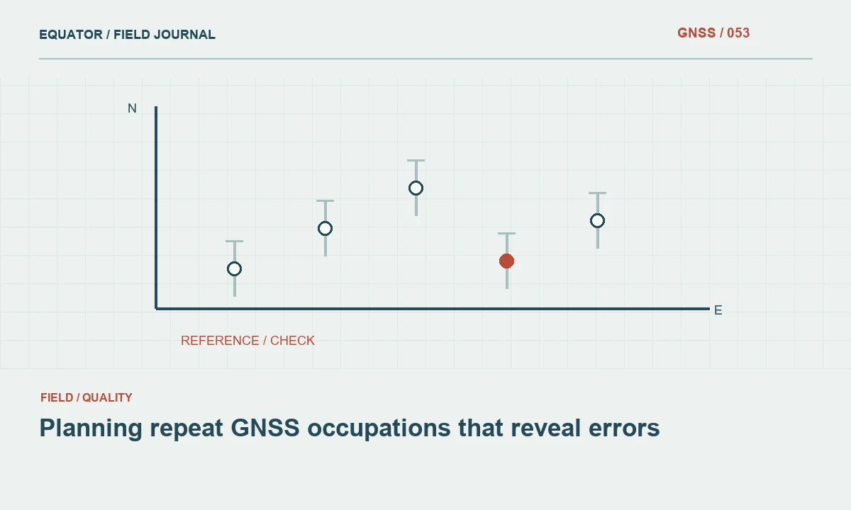
Give the repeat a purpose
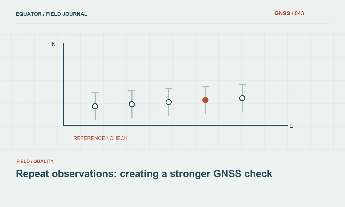
Repeating a GNSS occupation can test stability, expose a setup error or provide additional evidence for a critical point. Those purposes require different procedures. Consecutive measurements without moving the pole mainly show short term consistency. A return visit after a fresh setup tests more of the physical measurement process. State the purpose in the work plan so the crew does not spend time collecting duplicates that answer the wrong question.
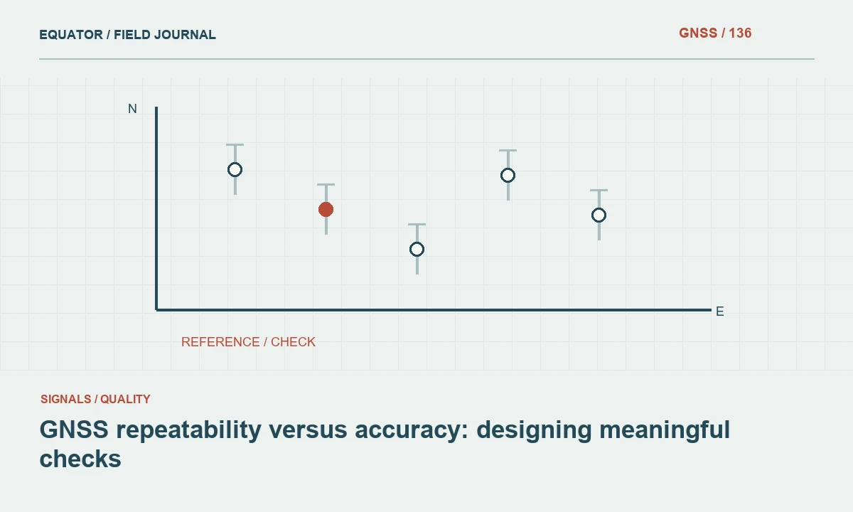
A repeated coordinate is still connected to its reference system and corrections. Two occupations can share a common offset even when they agree closely. Repeatability therefore supports quality assessment but does not replace an independent check against suitable control. Treat the repeat as one piece of evidence in a larger acceptance procedure, especially where a point will guide construction, boundaries or height sensitive design.
Continue learning Repeat observations: creating a stronger GNSS check
Choose points according to consequence
Prioritize control transfers, important breaklines, project limits and points whose later recovery would be expensive. Include a selection of ordinary production points to test the routine workflow too. A plan that repeats only easy open ground locations may miss the conditions responsible for the greatest uncertainty. Spread the sample across crews, equipment arrangements and work sessions where those distinctions matter.
Decide before production whether every critical point needs a repeat or whether a documented sampling approach is appropriate. The choice belongs to the project specification and the risk of using a wrong coordinate. Avoid changing the sampling rule after looking at the results simply to produce an attractive report. If additional repeats become necessary, record why the original plan was expanded.
Continue learning GNSS repeatability versus accuracy: designing meaningful checks
Create meaningful separation
Time separation changes the observation environment and often the satellite geometry. A fresh initialization can help test whether the previous ambiguity solution is being carried forward. Rebuilding the pole or tripod setup can reveal a physical centering or height mistake. These changes are useful only when recorded. Note what was deliberately reset and what remained the same between occupations.
There is no single waiting period that creates full independence for every project. Weather, site geometry, reference arrangement and the intended accuracy all matter. Use applicable guidance and the project specification to select a procedure. Where a same day return is practical, schedule it into the route rather than treating it as optional work after the crew has packed the equipment away.
Continue learning GNSS positioning for forest inventory plots and repeat visits
Keep the observations separate
Assign related but distinct occupation identifiers. Store the point identity, occupation number, observation time, antenna height and solution state for each visit. Do not overwrite the first coordinate with the second or immediately average them in the controller. Separate records allow the office to investigate a disagreement and identify whether one observation has evidence of a specific problem.
Photographs and short notes are especially helpful for points that are hard to identify. A second crew may occupy the edge of a bolt rather than its centre, or use a nearby mark with a similar label. A recovery sketch reduces this ambiguity. The cost of a clear point description is small compared with a return trip to discover whether two different physical locations were compared.
Continue learning Planning static GNSS occupations for project control

Compare before combining
Calculate coordinate differences using the same reference system, units and height definition. Review the components and the horizontal separation, not just a rounded displayed distance. Compare the differences with the project criteria and consider the expected uncertainty of the method. If an occupation contains a known setup error, flag it explicitly; do not blend it into an average as though it were equally reliable evidence.
An average can reduce some random variation, but it does not remove a shared wrong base coordinate, a common antenna height error or a mistaken geoid selection. Resolve those systematic questions first. Keep the individual results and the method used to derive any adopted coordinate. This preserves the reasoning behind the final value rather than leaving a single unexplained number in the deliverable.
Continue learning Repeat observations: creating a stronger GNSS check
Investigate disagreement systematically
When repeats differ unexpectedly, inspect the observation history before assuming the point moved. Check the pole height, mark identity, solution state, correction age and reference settings. Review whether one occupation followed a loss of lock or occurred near a reflective surface. A third observation can be useful, but only when it is part of a diagnostic plan rather than a search for a preferred answer.
If neither occupation can be justified, use another approved method or improve the observation conditions. A nearby open control point and a measured terrestrial connection may provide a more defensible result than repeated attempts beneath the same obstruction. Record the decision, including observations that were rejected and the reason. The rejected data remain valuable evidence about the limits of the original method.
Continue learning GNSS repeatability versus accuracy: designing meaningful checks
Use repeat results to improve the crew workflow
Summarize disagreement by environment, operator and setup where the dataset is large enough to support such comparisons. Repeated height problems may reveal an antenna measurement habit, while failures after reconnection may suggest a missing field check. These patterns can improve training and the job template. They should not be used to assign blame without examining the evidence and the working conditions.
Include a concise repeat observation table with the final survey records. Show the adopted coordinate, component differences, acceptance decision and any follow up work. The strongest repeat program is one that changes decisions while the site is still accessible. It helps the crew detect an error early and gives later users a transparent account of how the coordinate was established.
Continue learning GNSS positioning for forest inventory plots and repeat visits
A return visit with a different setup
Suppose an important corner is measured in the morning and revisited later with the pole dismantled and reassembled between occupations. The later observation tests more than a consecutive stored point because the operator has recreated the physical geometry and may be working under a changed satellite arrangement. Record both visits, including the height entry and any initialization event. That context explains why the comparison was planned and what potential errors it was intended to reveal.
If the heights disagree while horizontal components remain close, inspect the pole assembly, tip contact and height convention before combining the results. If both observations agree but fail an independent check, examine the reference system rather than claiming the repeat established absolute agreement. A return visit is strongest when it has a defined role in the evidence chain. It should produce a decision about acceptance or further work, not merely another coordinate that disappears into an undocumented average.
If the same mark is occupied with different antenna assemblies, retain both equipment descriptions and height conventions. The comparison then tests two complete setups rather than an assumed common geometry. A mismatch can be investigated against the actual components, while an agreement has a clearer meaning than a pair of unlabeled coordinates in a spreadsheet.
Continue learning Planning static GNSS occupations for project control
Practical checklist
- Define whether a repeat tests stability, setup or external agreement.
- Preserve each occupation before calculating an adopted coordinate.
- Investigate discrepancies before averaging measurements.
Plan your GNSS setup
Compare the EQ10 and EQ20 receiver specifications, then discuss the configuration and support your project needs.
Compare GNSS receivers