GNSS repeatability versus accuracy: designing meaningful checks
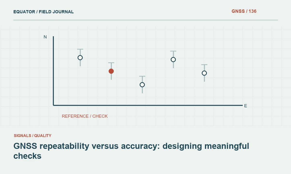
Repeated coordinates can agree closely and still share a bias; a useful verification plan tests both repeatability and external agreement.
Separate two questions in survey verification
Repeatability asks how consistently a measurement process produces coordinates when it is repeated under specified conditions. Accuracy concerns agreement with the value of the quantity being measured, usually assessed through suitable reference information and uncertainty. In practical GNSS work, the distinction matters because many points can cluster tightly around a position that is shifted by an incorrect base coordinate, transformation or antenna height.
Before measuring checks, decide which question each observation will answer. A series of epochs during one occupation can show short term behavior. A new occupation after reinitialization can test more of the field process. A comparison with independently established control tests external agreement within the limitations of that reference. These observations complement each other, but none should be described as proving more than it actually tests.
Continue learning Accuracy, precision and uncertainty in GNSS reports
Understand what remains common between repetitions
Two occupations can share more assumptions than the crew realizes. They may use the same receiver setup, the same pole height entry, the same base, the same correction service and the same local transformation. Even if the satellite geometry changes, an incorrect coordinate framework can persist. Label the conditions that were deliberately changed and those that remained fixed when interpreting the resulting agreement.
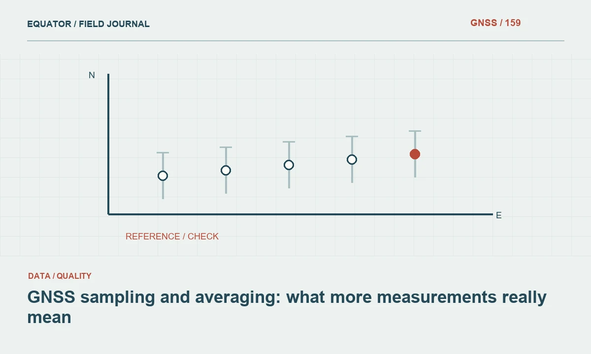
This is especially important when a controller averages several measurements into one stored point. Averaging can reduce some random variation while leaving a common bias untouched. It can also obscure individual observations if the raw measurements and timestamps are not retained. Preserve the component occupations and the method used to derive the accepted coordinate, rather than keeping only an average with an impressive looking precision label.
Continue learning GNSS sampling and averaging: what more measurements really mean
Build a hierarchy of checks
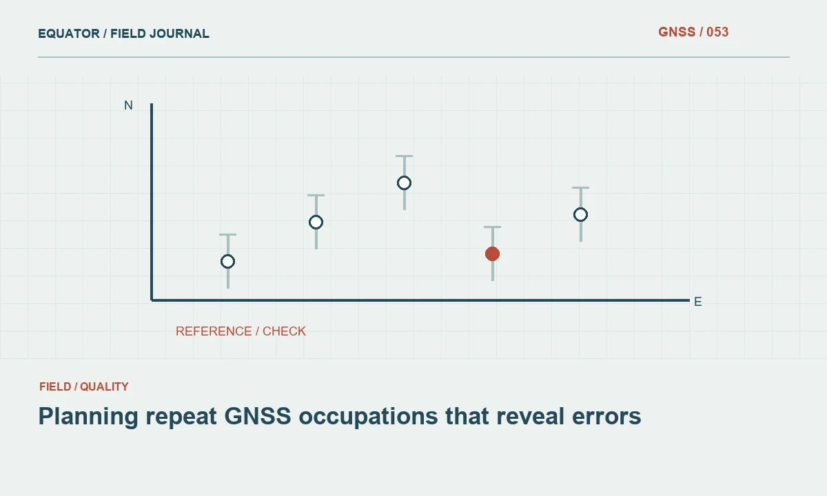
A useful verification plan combines instrument checks, repeated field observations and independent reference comparisons. Instrument checks can include pole bubble condition, antenna height procedure and correct configuration. Repeated observations can reveal unstable solutions or setup inconsistencies. Reference checks connect the project to an established coordinate framework. Assign each check a purpose so that an apparent success in one layer does not replace evidence required in another.
Select points that represent the range of conditions on the project. An open control mark is an excellent place to establish a baseline of expected behavior, but it does not represent every point beside trees, walls or vehicles. Include targeted repeats in difficult environments. Keep those results identifiable, because their behavior may justify a different collection method or a stronger review requirement for a particular group of features.
Continue learning Planning repeat GNSS occupations that reveal errors
Change conditions intentionally
Independent occupations are more informative when they involve a meaningful change in the measurement process. Depending on the task, this can include resetting the pole, checking the height again, reinitializing the solution, returning at a different time or using an independent reference. The project specification should establish the required procedure. Avoid inventing a universal waiting period that is treated as sufficient for every receiver, site and accuracy objective.
Record the changed conditions in the field log. A note such as second visit after lunch is less useful than timestamps, correction source, solution state and a clear statement that the setup was remade. These details allow the reviewer to distinguish deliberate independence from two rapid stores of essentially the same solution. They also help explain discrepancies when environmental conditions changed between visits.
Continue learning Drone RTK and ground control: complementary evidence for mapping
Interpret agreement and disagreement together
Consider a team that observes a check mark several times and obtains a tight cluster, while every result differs from the trusted coordinate in a similar direction. The repeated observations suggest good consistency under the tested conditions, but the shared displacement points toward a systematic issue. Check the reference frame, base coordinates, transformation settings and mark identification before concluding that the reference is wrong.
Now consider a second mark whose repeated results scatter while the first mark remains stable. That pattern suggests a local setup or observation problem, such as reflections, obstruction or poor centering. The response may involve moving to a better location and measuring an offset by another technique. Comparing both examples shows why repeated measurements and external checks are most valuable when reviewed as patterns rather than isolated pass flags.
Continue learning Accuracy, precision and uncertainty in GNSS reports
Keep acceptance rules separate from hindsight
Set the project acceptance criteria before reviewing the final coordinate differences. The criteria should reflect the intended use, the uncertainty of reference information and the measurement method. If a discrepancy fails the rule, investigate and document the action taken. Do not quietly relax the rule until all points pass, or discard a result solely because it makes the summary less attractive.
Some discrepancies will have a demonstrable cause, such as a transcription error or the wrong antenna height. Others may remain unexplained. Preserve both the original observation and the corrected or repeated result, with their review status. A transparent record supports a defensible decision and future learning, while an overwritten field file can turn a manageable quality issue into an untraceable coordinate history.
Continue learning GNSS sampling and averaging: what more measurements really mean
Use a shared error example in crew briefings
Suppose two operators independently set up on the same mark and obtain closely agreeing coordinates, but both use a project template containing the same incorrect base coordinate. Their remade setups provide evidence about centering and height procedure, while their agreement says little about the shared reference error. A third comparison against suitable independent control can reveal the common shift. The lesson is to list dependencies explicitly rather than assume that different operators automatically create complete independence.
Now change the example so each operator uses a separate approved reference workflow, while both copy an incorrect physical mark description. The measurements may still agree on the wrong object. This shows why independence is not a single property that can be assigned to an entire survey with one label. It is specific to the mechanism being tested. A well designed verification plan asks which error could survive each comparison, then selects complementary checks to address the important remaining possibilities. That reasoning is more useful than collecting duplicates without a stated purpose.
Continue learning Planning repeat GNSS occupations that reveal errors
State the evidence in the report
Report how many points were repeated, how occupations were separated, what independent references were used and how horizontal and vertical differences were evaluated. Include relevant limitations, such as a small sample or checks concentrated in open terrain. Avoid translating a good repeatability result into a blanket accuracy claim for untested conditions. The language of the conclusion should follow the design of the verification.
For routine projects, a concise table of checks and a clear procedure description can be more valuable than a complex statistic with unclear assumptions. The essential outcome is that another surveyor can understand what was tested, reproduce the comparison and identify the coordinate framework. That is the difference between simply collecting duplicate points and building credible evidence about a GNSS result.
Continue learning Drone RTK and ground control: complementary evidence for mapping
Practical checklist
- Separate two questions in survey verification.
- Use a shared error example in crew briefings.
- State the evidence in the report.
Plan your GNSS setup
Compare the EQ10 and EQ20 receiver specifications, then discuss the configuration and support your project needs.
Compare GNSS receivers