Completing a GNSS project handover that others can use
A complete handover identifies the accepted dataset, coordinate framework, supporting evidence and limitations so the next team can use the results confidently.
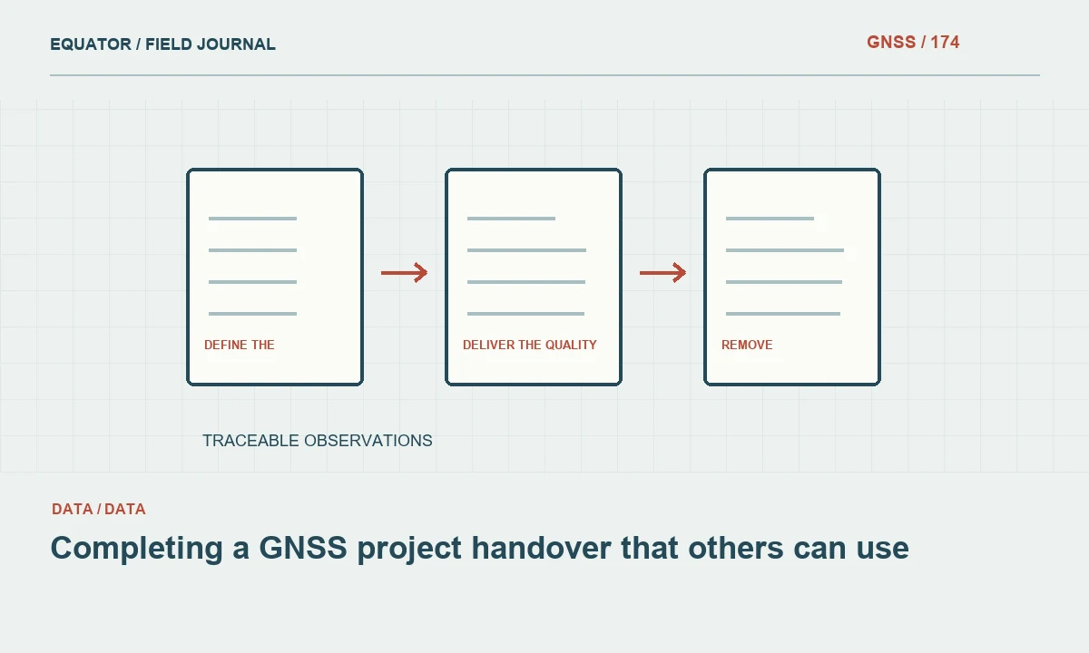
Define the authoritative deliverable
Begin the handover by identifying exactly which dataset is approved for use. State its version, issue date, intended purpose and relationship to earlier issues. A folder containing several coordinate lists with similar names creates an avoidable risk even when one of them is technically correct. The recipient should not need to ask the original analyst which final file is actually final.
Separate accepted deliverables from working files and diagnostic outputs. If supporting records are included, label their roles clearly. A preliminary solution can be valuable evidence without being suitable for downstream use. The package should preserve that distinction after it is copied into another organization's storage system, where the original folder context and staff explanations may no longer be available.
Continue learning GNSS data handover: what to include with the final coordinates
Put coordinate definitions beside the data
Provide the horizontal reference frame, realization where relevant, coordinate epoch, projection, units and axis order. Describe the height convention separately, including geoid or local vertical transformation identifiers. Formats vary in their ability to carry this information, so include readable metadata where needed. A coordinate table headed east, north and elevation still requires a complete definition to be used reproducibly.
If local transformations were applied, deliver the approved parameters or supported configuration with an explanation of their source, direction and area of use. Identify which control established the transformation and which independent checks verified it. Retain original and transformed coordinates as linked records where appropriate. The recipient should be able to distinguish framework conversion from satellite solution estimation without reconstructing the process from software screenshots.
Continue learning Writing a GNSS survey report that supports the coordinate deliverable
Confirm physical feature and mark identification
Check that point identifiers, feature codes and descriptions remain consistent across coordinate tables, GIS layers, CAD drawings and photographs. A downstream team needs to know what each coordinate represents physically. Include control mark descriptions and relevant recovery information. Where an offset or another survey technique was used, explain the relationship between the observed point and the delivered feature.
Review ambiguous or inaccessible features explicitly. If a coordinate is approximate, inferred or associated with a restricted observation, preserve that status in the data and report. Do not rely on a single narrative caveat while every exported feature appears equally accepted. The handover should allow users to identify limitations at the feature level when those limitations affect practical use.
Continue learning A GNSS crew handover that preserves the measurement state
Deliver the quality evidence in a readable form
Provide the field method, processing summary, independent checks and acceptance conclusion. Separate internal diagnostics from external verification. Include horizontal and vertical findings with their relevant confidence conventions or comparison definitions. A reader should understand what was tested, how many points were checked and which conditions the evidence represents, rather than see an unexplained claim of survey accuracy.
Summarize exceptions, remeasurements and unresolved issues. Link significant decisions to the relevant point or session identifiers. The recipient does not need every internal discussion, but should be able to assess why the final dataset was accepted and what remains dependent on supplied information. Preserve detailed supporting reports in the archive where they can be found through a clear manifest.
Continue learning Handing GNSS survey coordinates to CAD teams without losing meaning
Check file completeness and practical usability
Create a manifest listing delivered files, their purpose, format and version. Confirm that every referenced annex, model identifier and coordinate table exists. Open representative GIS, CAD and tabular outputs in suitable applications where relevant. A successful export message does not guarantee that the recipient's file contains the expected features, attributes, coordinate definition or readable text encoding.
Check record counts and stable identifiers across formats. Differences may be intentional, but they should be explained. Verify that required attributes and quality status survive conversion. If a format has limitations, provide an appropriate alternative or companion record rather than silently dropping information. The handover should make the data usable, not merely transfer a set of files that requires extensive interpretation and repair.
Continue learning GNSS data handover: what to include with the final coordinates
Preserve the technical archive
Identify where original observations, setup metadata, reference inputs, processing configurations and review records are retained. Deliver or retain them according to the project agreement and organizational policy. Include readable descriptions alongside proprietary project files where appropriate. A future analyst should be able to locate the accepted processing chain without depending on the continued availability of one particular workstation or software installation.
Test a representative traceability path before closure. Select an issued point and locate its original occupation, antenna information, processing run and acceptance evidence. This practical check can reveal missing dependencies that a manifest alone does not show. Resolve important gaps or state them clearly. An archive is useful only if its contents can be connected to the coordinates it is intended to support.
Continue learning Writing a GNSS survey report that supports the coordinate deliverable
Remove unnecessary operational secrets
Review the package for credentials, tokens, private account information and unnecessary personal details. Correction service access, server passwords and other secrets do not belong in a general client handover. Preserve the service identifiers and configuration descriptions needed for reproducibility without disclosing access. Keep private operational information in the organization's appropriate controlled storage.
Check links and paths for portability. A report pointing to an analyst's personal download folder is not a usable archive reference for the recipient. Use package relative references or a documented organizational location as appropriate. Ensure that essential interpretation does not depend on an online service that the recipient cannot access or whose content may change without notice.
Continue learning A GNSS crew handover that preserves the measurement state
Explain supersession and future reuse
If this issue replaces earlier data, state which files are superseded and why. Identify any downstream products that require updating. A corrected control coordinate can affect drawings, surfaces and calculations beyond the coordinate table itself. The handover should help the recipient understand that dependency rather than assume replacing one spreadsheet automatically updates every derived product.
State the limits of future reuse. A dataset verified for one mapping purpose may not support a different engineering or monitoring application without additional assessment. Include relevant observation dates and framework information so future users can judge compatibility. Avoid promising that the coordinates remain physically valid indefinitely, particularly where marks or features may move, be disturbed or be replaced.
Continue learning Handing GNSS survey coordinates to CAD teams without losing meaning
Close with an explicit acceptance record
Record the responsible review role and the basis for approving the package under the project's process. The acceptance statement should identify the intended use, evidence and material limitations. Keep a copy of the issued package and manifest in the organizational archive, with integrity checks where useful. This preserves the exact deliverable rather than a later working folder that may continue changing.
A complete GNSS handover makes the measurement chain understandable to the next team. It combines authoritative files, clear coordinate definitions, feature identity, quality evidence and a recoverable archive. That reduces avoidable questions, protects against misuse of provisional data and preserves the value of the survey after the original field and processing staff have moved to another project.
Continue learning GNSS data handover: what to include with the final coordinates
Practical checklist
- Define the authoritative deliverable.
- Explain supersession and future reuse.
- Close with an explicit acceptance record.
Plan your GNSS setup
Compare the EQ10 and EQ20 receiver specifications, then discuss the configuration and support your project needs.
Compare GNSS receivers