A practical GNSS rover reconnection procedure
Recover from a lost correction link while preserving the settings and checks needed to trust the next measurements.
Recognize the interruption
A rover reconnect procedure begins when the crew notices that the correction link or local device connection is no longer reliable. The first task is to stop the loss of information from becoming an unnoticed loss of quality. Pause critical point collection and note the time. Check whether automatic logging continues in the background and identify observations recorded after the interruption began.
Read the actual symptoms. A lost Bluetooth link between controller and receiver differs from an internet failure between the client and caster. A radio outage is different again. The position display may continue updating from satellite observations even though corrections have stopped. Looking only at moving coordinates can therefore create a false sense that the complete survey system is still operating as intended.
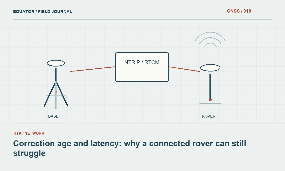
Continue learning Correction age and latency: why a connected rover can still struggle
Preserve the current state
Before restarting equipment, record the job name, reference source, selected mountpoint and important quality indicators. A quick photograph or structured note can preserve the evidence, provided passwords are not visible. Include correction age, solution status and any error message. This record helps distinguish an interrupted connection from an accidental change to a different service or job configuration.
Keep the last successful check and the last accepted point identifiable. Those times define a useful review interval. Do not delete all recent observations simply because the connection failed, and do not accept them automatically because the rover later reconnects. Mark their status for review. A clear interruption boundary allows the office to investigate only the affected work rather than questioning an entire campaign without evidence.
Continue learning A GNSS crew handover that preserves the measurement state
Inspect the local connection first
Confirm that the controller is connected to the intended receiver. Crews working close together can have several devices in range, and familiar names may be similar. Verify a serial number or another reliable identifier. Check cables, local wireless settings and device power as appropriate. A disconnected cable or flat controller battery can resemble a more complicated service problem if the physical path is overlooked.
If the receiver itself has restarted, verify its operating mode and saved settings. Some settings may persist while others are supplied by the controller when a job opens. Follow the instrument instructions rather than assuming the restart restored the exact previous state. Record any settings that were reapplied manually so the next check can evaluate the configuration actually used after recovery.
Continue learning Managing GNSS field operations during changing solar activity
Restore the correction path
For an internet workflow, confirm data access, the caster address, authentication and the intended mountpoint. For radio, inspect the link settings and physical antenna arrangement within the approved operating conditions. Avoid changing multiple unrelated values at once. A controlled sequence makes it possible to identify which action restored usable data and reduces the risk of introducing a second error while solving the first.
If another rover is working from the same source, compare the failure stage. A shared outage suggests investigating the source or communications service; a single affected device suggests a local path or configuration issue. Use the comparison as evidence, not as proof that every other setting is correct. Two rovers can be connected successfully while using different reference arrangements or different job transformations.
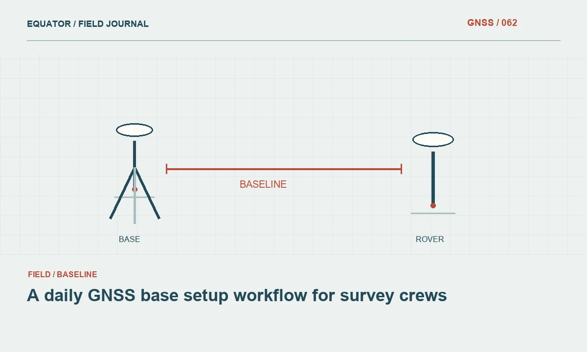
Continue learning A daily GNSS base setup workflow for survey crews

Confirm the positioning state
After data resume, inspect correction age and wait for the solution state required by the project procedure. Observe whether the result remains stable in the current environment. A connection message only confirms part of the system. It does not demonstrate that the rover has resolved the intended positioning solution or that the selected stream produces coordinates consistent with the previous work.
If the rover remains unstable, move to a suitable open location for diagnosis where practical. Record the move and any reinitialization. Repeatedly pressing reconnect beside an obstruction may not address the reason the solution is poor. The communication link and the satellite observation environment should be investigated separately so the recovery procedure remains understandable and repeatable for the next operator.
Continue learning Correction age and latency: why a connected rover can still struggle
Check a known coordinate
Occupy a suitable control or check point after recovery, especially if the reference source, receiver mode or job settings changed. Compare horizontal and vertical components using the project criteria. Preserve the check as a separate observation with its own time and identifier. This is the step that connects a technically restored data link to evidence that production measurements can responsibly resume.
If the check fails, keep production paused and examine the reference coordinate, antenna height, transformation and height model before collecting more points. A reconnection can expose an existing setup mistake or introduce a new selection. Do not average the failed check into the known coordinate or adjust the control value to force agreement. Investigate the mismatch and document the reason for the eventual acceptance decision.
Continue learning A GNSS crew handover that preserves the measurement state
Resume with a clear boundary
Record the recovery time, the corrective action and the successful check. Repeat any point whose occupation crossed the interruption as a new record rather than overwriting the earlier attempt. Label the adopted result and preserve the rejected or uncertain observation. This gives later reviewers a coherent sequence: interruption, diagnosis, configuration, verification and resumed production.
At the end of the day, review recurring reconnections and decide whether the field plan needs improvement. Frequent failures may justify a different communications arrangement, a revised route or another measurement method for particular areas. A good reconnection procedure restores more than connectivity. It restores a documented measurement state and establishes which observations can be included in the accepted survey with defensible evidence.
Continue learning Managing GNSS field operations during changing solar activity
A concise recovery card for the crew
A practical recovery card can list the sequence in plain language: pause collection, identify the failed link, preserve settings, restore the approved source, inspect the required solution state and verify a coordinate. Include a place to note the last accepted point and the successful recovery check. Keep the card specific to the equipment path used by the crew so an operator does not waste time checking a modem that is not part of the current arrangement.
Use a short rehearsal during training. Disconnect an approved test link, have the operator identify the symptoms and restore the workflow, then inspect the saved records. This reveals whether the application continues automatic recording or changes a preset during reconnection. A rehearsal should use test data and a controlled environment. Its value is operational knowledge: the crew learns what to preserve and how to demonstrate recovery before a real interruption occurs at an expensive or difficult field location.
If automatic collection was active, inspect its restart behaviour during training. Some workflows may resume immediately, while others require a new action. The crew should know whether the first post-recovery points were collected before verification. Mark that interval explicitly so an automated sequence does not bypass the same checks required for manually recorded observations.
Continue learning A daily GNSS base setup workflow for survey crews
Practical checklist
- Pause collection and record the interruption boundary.
- Verify the receiver identity and intended correction source.
- Resume only after the required state and coordinate check are satisfactory.
Plan your GNSS setup
Compare the EQ10 and EQ20 receiver specifications, then discuss the configuration and support your project needs.
Compare GNSS receivers