A daily GNSS base setup workflow for survey crews
Connect mark recovery, coordinate approval, antenna measurements and rover checks into a repeatable daily routine.
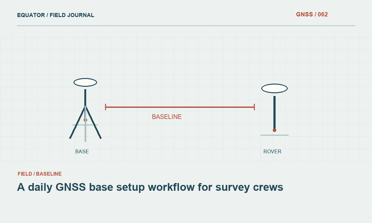
Recover the approved reference
Begin by identifying the mark that the project authorizes for the day's base. Use its description, photographs and point identifier, rather than relying on where the tripod stood yesterday. Inspect the surface and surroundings for disturbance. Construction activity, soft ground and accidental damage can change a temporary reference between sessions. Record anything unusual before the antenna is installed and the evidence becomes harder to see.
Confirm which coordinate revision applies to the mark. Keep provisional and approved values clearly separated. The base operator should know the source, coordinate system and height definition of the value being entered. A familiar point name in an old controller job is not sufficient evidence that the coordinate is current. Compare the setup against the controlled project record before broadcasting corrections.
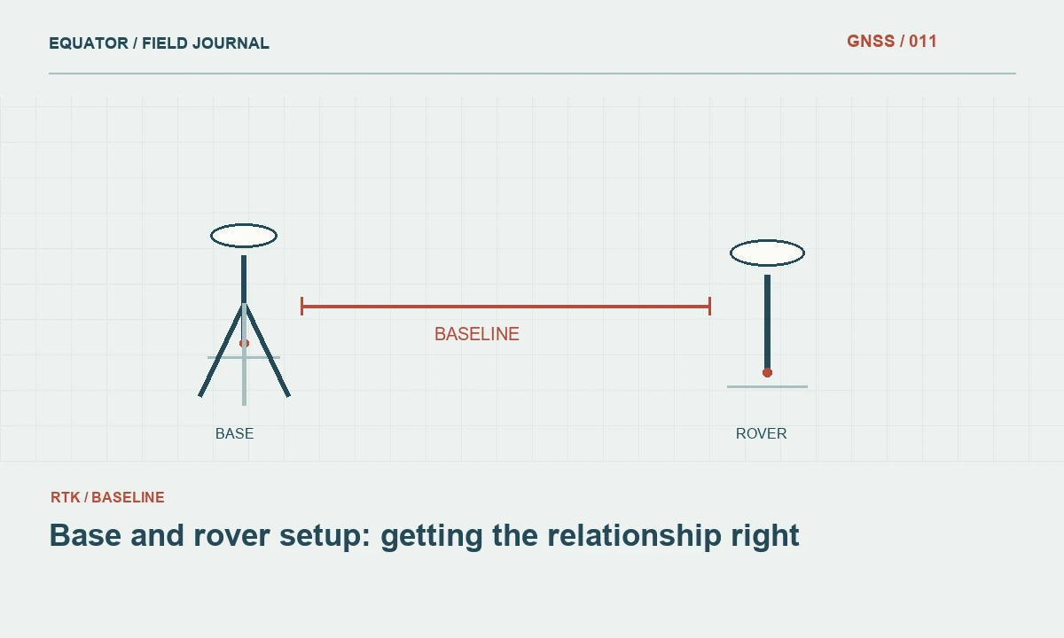
Continue learning Base and rover setup: getting the relationship right
Inspect the physical equipment
Check tripod clamps, tribrachs, adapters and antenna mounts for damage or looseness. Remove dirt from mating surfaces according to the equipment instructions. A loose adapter can allow movement after the operator has completed centering and levelling. Check the power and communications components as part of the same inspection so a preventable interruption does not force an unplanned restart during production.
Use a stable support arrangement appropriate for the site. Keep the antenna clear of nearby objects where practical and avoid placing the reference where routine site activity will disturb it. Arrange cables so they do not pull on the antenna or tripod. The aim is a setup that remains stable for the entire session, not merely a centred antenna at the moment the setup photograph is taken.
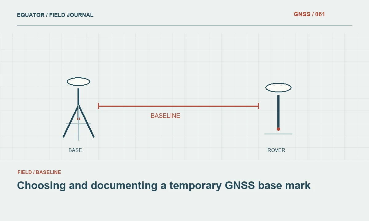
Continue learning Choosing and documenting a temporary GNSS base mark
Centre, level and measure
Centre over the defined mark and verify levelling after tightening the equipment. Recheck centering because adjustments can interact. Measure antenna height using the method supported for the selected antenna and controller entry. Record the raw measurement, units and reference point. If the height is measured on a slope, the controller must be configured to interpret that measurement correctly rather than treating it as a vertical distance.
Use an independent confirmation of the height where the procedure requires it. A second reading can reveal a transcription mistake or an incorrect tape placement. Record the antenna model and any adapter that affects the geometry. Do not copy yesterday's height simply because the same tripod is being used. The height belongs to the physical setup made today, including any changed legs, adapters or surface conditions.
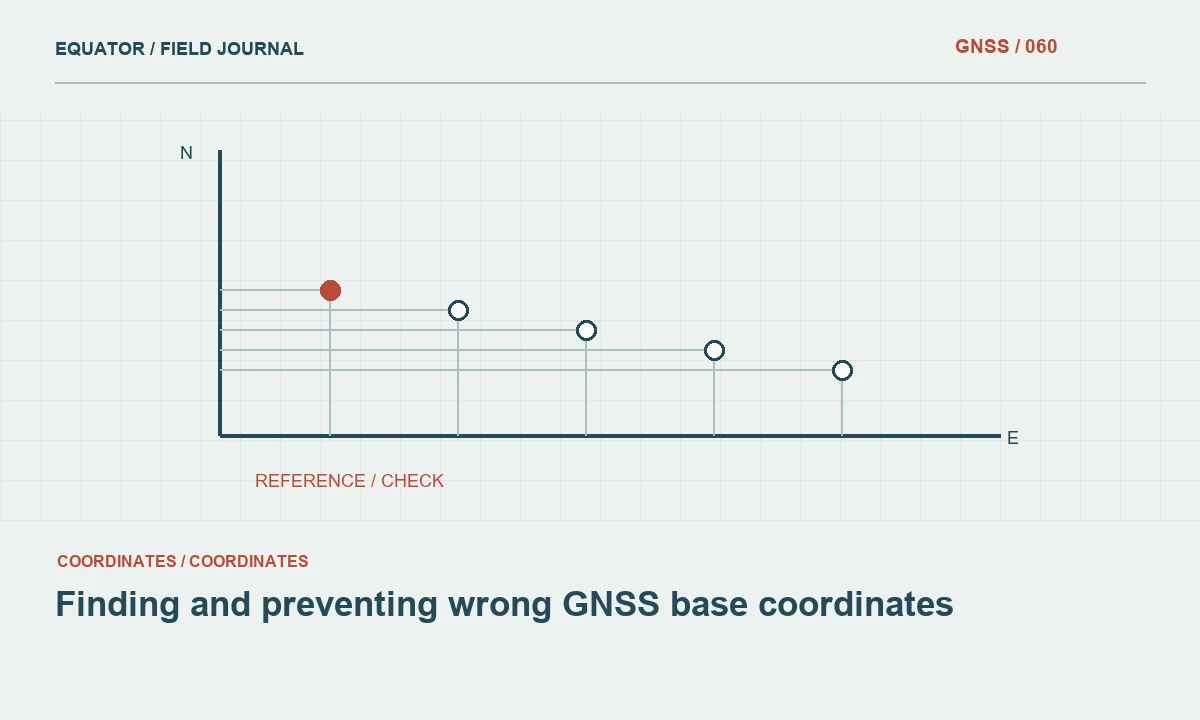
Continue learning Finding and preventing wrong GNSS base coordinates
Load the correct operating profile
Select the intended base mode, output messages and communications arrangement. Confirm the receiver identity when several units are available. A saved profile is helpful, but inspect the critical values after loading it, especially following firmware changes or a reset. The coordinate source, antenna information and data output should all match the approved workflow rather than a generic factory example.
Record the profile identifier and any deliberate changes. If raw logging is required, confirm that it starts and that adequate storage is available. Check the time information and file naming convention so the observations can be matched to rover work later. Logging should be verified through the receiver status or an appropriate file check, not assumed from a setting that was enabled on a previous day.
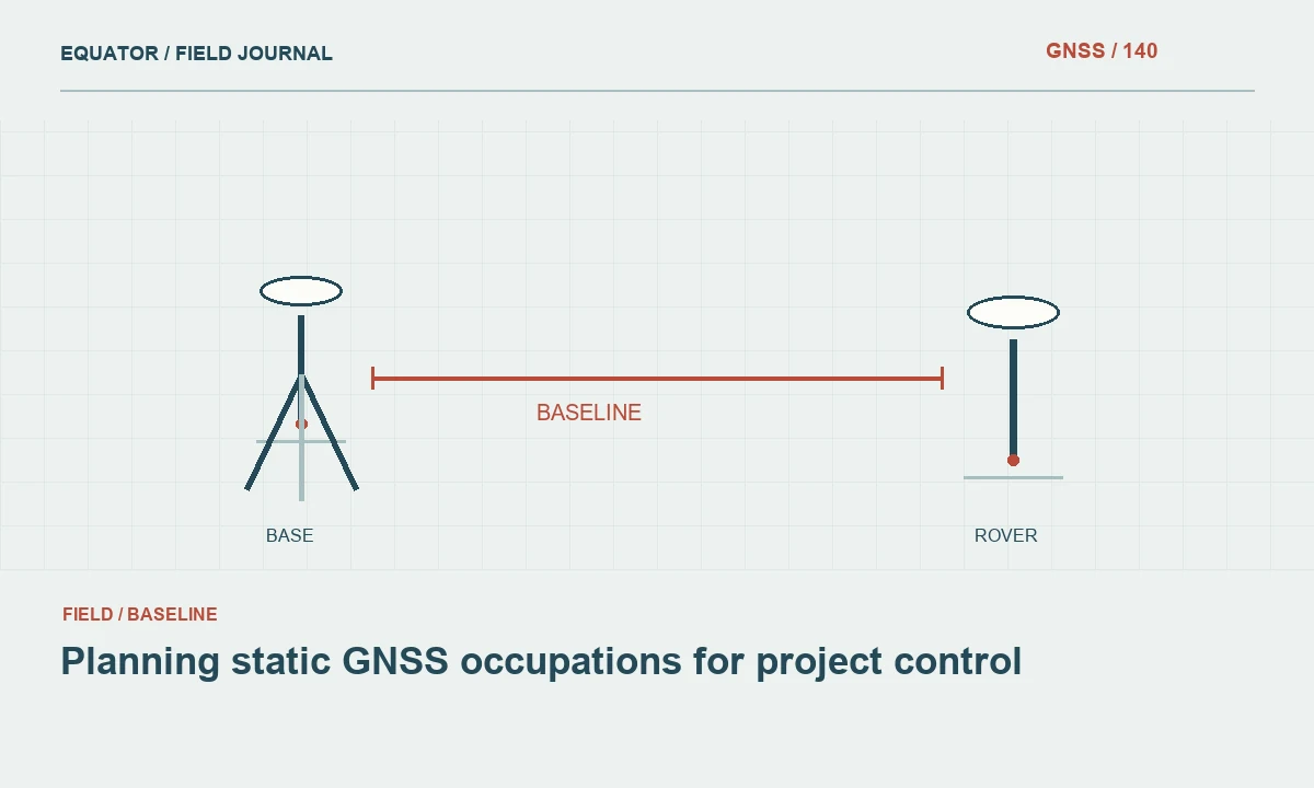
Continue learning Planning static GNSS occupations for project control

Confirm correction delivery
Verify that the rover receives usable data through the intended radio or internet path. A transmitter power light does not prove that the stream is reaching the rover, and a caster login does not prove the content is suitable. Inspect correction age, source identification and solution state using the actual production devices. Keep credentials out of setup photographs and field reports shared beyond the authorized team.
Test communications at a representative work location where practical. A connection beside the base does not describe conditions behind a ridge or at the distant end of a corridor. If the project uses several rover crews, confirm that each is connected to the approved source. Similar stream names or nearby radios can otherwise create an unnoticed difference between teams that believe they share one reference arrangement.
Continue learning Base and rover setup: getting the relationship right
Check coordinates before production
Occupy suitable independent check points and compare the results with the project acceptance criteria. Review horizontal and vertical components separately. Preserve the observations and the setup time so they can be linked to the day's base record. If a check fails, keep production paused while investigating mark identity, coordinate entry, antenna height, transformation and correction configuration.
Do not use a successful fixed status as the substitute for this check. A rover can resolve a stable relative solution from a wrong base coordinate. Likewise, a small displayed estimate does not prove that the intended height model is active. The coordinate check tests the complete chain. Its result should be visible to the person authorizing the crew to begin collecting production measurements.
Continue learning Choosing and documenting a temporary GNSS base mark
Monitor and close the session
Inspect the base when practical during a long session and after events that could disturb it. Note restarts, battery changes, communications changes and any movement of the support. If a setup changes, establish a clear time boundary and repeat the required checks. Preserve the original configuration rather than silently replacing its record with the final state of the day.
At shutdown, confirm that required logs are saved and copied to the project archive. Record the end time, remaining equipment issues and the status of the mark for the next crew. A daily setup workflow is valuable because it links small physical and digital checks into one traceable reference. That traceability makes an error easier to detect and limits the amount of work affected if a problem is discovered later.
Continue learning Finding and preventing wrong GNSS base coordinates
A setup sheet another crew can audit
The daily sheet should connect the mark identifier, coordinate revision, antenna model, raw height reading, measurement method and receiver configuration to a setup start time. Add the first successful rover check and any later event that changes the reference state. A second operator should be able to read the sheet and explain which physical and digital arrangement supported a particular group of production points.
At shutdown, compare the sheet with the files copied to the archive. Confirm that required raw observations cover the intended interval and that the file names identify the setup. If a battery change caused a restart, make sure the event appears in both the note and the file history where available. This small reconciliation catches incomplete logs while the equipment and crew are still together. It turns the daily routine into a usable evidence record rather than a checklist that cannot be connected to the measurements.
If two people share setup duties, make the final approval responsibility explicit. One may centre the antenna while another enters coordinates, but someone should compare the completed physical and digital arrangement with the setup sheet. This final reconciliation catches assumptions that can fall between separate tasks even when each person believes their own step is complete.
Continue learning Planning static GNSS occupations for project control
Practical checklist
- Recover the approved mark and coordinate revision.
- Record the current antenna model, height and configuration.
- Approve production only after delivery and coordinate checks.
Plan your GNSS setup
Compare the EQ10 and EQ20 receiver specifications, then discuss the configuration and support your project needs.
Compare GNSS receivers