Managing GNSS field operations during changing solar activity
Solar activity information is most useful when it supports a clear field response plan and an evidence based decision about survey quality.
Translate a broad forecast into practical decisions
Solar activity can influence the near Earth environment and, through several mechanisms, affect radio systems including GNSS. Official space weather information can help a survey organization anticipate elevated risk, but it does not supply an exact error prediction for each receiver and project point. The operational task is to combine that context with equipment behavior, independent checks and a prearranged response plan.
Begin by identifying the work that depends on GNSS and the consequences of weak positioning evidence. A routine asset inventory and a critical control campaign may justify different contingencies. Document the accepted collection method, quality criteria and alternatives before conditions become difficult. This keeps decisions consistent across crews and avoids asking operators to improvise acceptance rules while production pressure is high.
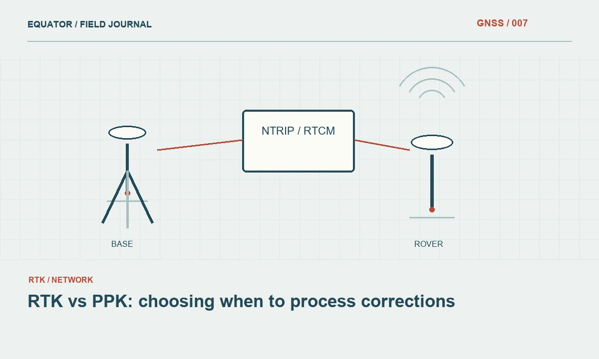
Continue learning RTK vs PPK: choosing when to process corrections
Assign responsibility for current information
Choose an appropriate official source and assign someone to review relevant updates during the campaign. Record the time and applicability of information that influences an operational decision. Avoid circulating screenshots with no date or treating an old alert as current. The objective is a shared understanding of conditions, not a stream of alarming messages disconnected from the actual survey schedule and location.
Keep forecasts, observations and field symptoms distinct in the log. A forecast suggests possible future conditions, an official observation describes a broader measured environment and a field check evaluates the local measurement process. These pieces can support each other without being interchangeable. A quiet broad indicator does not certify local quality, and an elevated indicator does not automatically invalidate every coordinate collected during the same period.
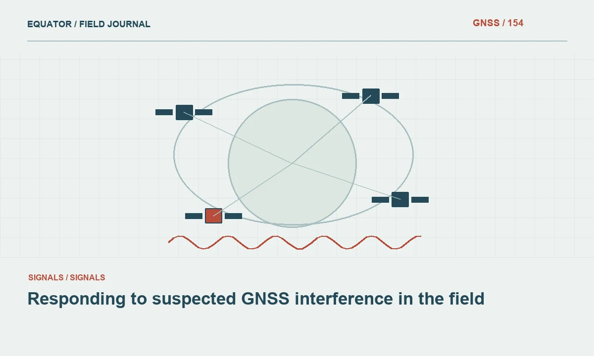
Continue learning Responding to suspected GNSS interference in the field
Establish a common crew check procedure
At the start of work, verify configuration, antenna setup, correction source and known control according to the project method. Repeat relevant checks during the day and after significant interruptions. Record signed horizontal and vertical differences where useful, along with timestamps and solution conditions. A consistent check procedure allows the project lead to compare reports from different crews without guessing whether they tested the same part of the coordinate chain.
Train operators to report specific symptoms: repeated initialization loss, unusual check discrepancies, tracking interruptions or widespread changes at open sites. A message saying the GPS is bad is difficult to act on. A concise structured report with location, time, equipment configuration and check result gives the office enough evidence to compare possible causes and decide whether collection should pause or continue under an approved alternative.
Continue learning GNSS mapping for disaster assessment: rapid data with traceable quality
Preserve a diagnostic dataset
Where the equipment supports it and the project permits, record raw observations and relevant receiver events. Confirm that the files are actually being stored and can be retrieved. Keep correction service information and controller records as well. If behavior changes, these data can help distinguish an observation problem from a communications outage, equipment fault or configuration mistake.
Do not promise that raw observations will make every affected session recoverable. They provide an opportunity for review, not a guarantee of a valid final coordinate. Maintain a recollection option and label provisional outputs clearly. If postprocessing is later used, document its inputs and verify the result through the project's independent checks rather than accepting it solely because the processor returns a coordinate without an obvious error.
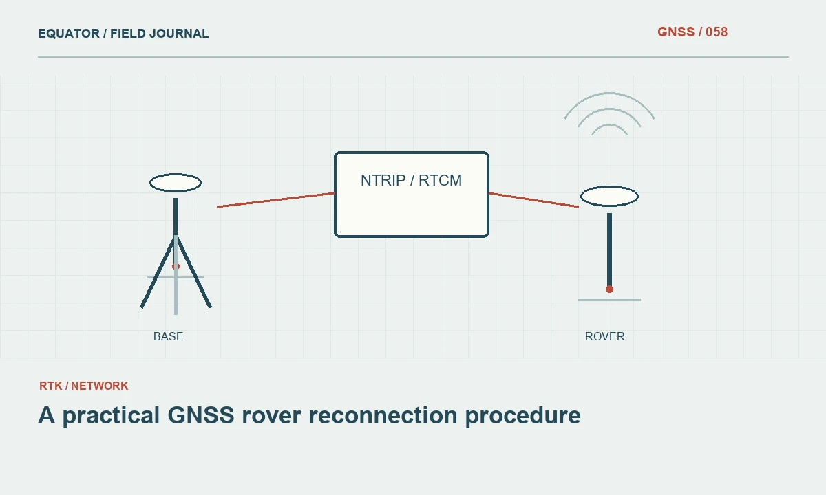
Continue learning A practical GNSS rover reconnection procedure

Define pause and continuation options
The response plan should specify who can pause GNSS collection, which evidence triggers escalation and what work can continue. Alternative tasks might include reconnaissance, mark descriptions, photographs or measurements by another approved method. If a total station or other technique is used, confirm that its control remains valid and does not depend on the same unresolved coordinates that caused concern in the GNSS workflow.
Include communication and access considerations. A crew may need to remain on site until an independent repeat is possible, or it may be more efficient to reschedule a difficult area. The decision should account for project consequences and available evidence. Avoid telling crews to continue collecting everything with the assumption that the office will repair the data later, because some weak observations cannot be made reliable after the fact.
Continue learning RTK vs PPK: choosing when to process corrections
Compare reports before assigning a cause
When several crews report problems, compare their times, locations, correction services and equipment settings. A shared service outage can resemble a wider GNSS degradation. A firmware or configuration change can affect only one equipment group. Review official status information and space weather context alongside these dependencies. The investigation should remain open to ordinary operational causes even when solar activity provides a plausible explanation.
If only one point or one crew is affected, inspect local surroundings, setup and communications first. If open sites across separate workflows show similar behavior, broaden the investigation. Record the conclusion with its level of certainty. Suspected environmental contribution is a reasonable statement when supported by the pattern, but it should not be promoted to a confirmed cause without the evidence needed to distinguish alternatives.
Continue learning Responding to suspected GNSS interference in the field
Resume collection with verification
When behavior appears to improve, repeat the established check procedure before returning to normal production. A successful network connection or a reduced official alert level is not sufficient by itself. Verify suitable control, review solution stability and collect planned independent occupations where required. Identify the time at which the approved workflow resumed and which earlier points remain under review.
Keep affected observations separated by status rather than deleting them. Some may be accepted after additional evidence, while others need recollection or a restricted use label. Ensure that exported files and office datasets reflect the final review decisions. Otherwise a provisional coordinate can reappear later through an old spreadsheet even after the field team has correctly repeated the point.
Continue learning GNSS mapping for disaster assessment: rapid data with traceable quality
Give crews a concise event message template
Use a short standard message containing site, time, receiver configuration, correction status, observed symptom and latest independent check. This reduces confusion when several crews report changing behavior at once. The project lead can compare like information and request specific follow up rather than repeatedly ask what bad reception means. Keep the message factual and avoid assigning a solar cause before the evidence has been reviewed. A consistent reporting habit improves response to ordinary equipment and service faults as well as space weather related concerns.
Continue learning A practical GNSS rover reconnection procedure
Review the campaign and improve readiness
After the campaign, summarize the information consulted, symptoms observed, decisions made and evidence supporting final acceptance. Identify practical improvements such as clearer crew reporting, more reliable raw data logging or better access to independent control. Avoid presenting the event as proof of a fixed relationship between a solar indicator and coordinate error unless a dedicated analysis actually established that relationship.
The value of a solar activity operations plan is disciplined response under uncertainty. It prepares the organization to recognize degraded evidence, preserve useful data and adapt the schedule without abandoning quality controls. Official information provides context, while the final survey decision remains tied to the measured performance of the complete positioning workflow at the project site.
Continue learning RTK vs PPK: choosing when to process corrections
Practical checklist
- Translate a broad forecast into practical decisions.
- Give crews a concise event message template.
- Review the campaign and improve readiness.
Plan your GNSS setup
Compare the EQ10 and EQ20 receiver specifications, then discuss the configuration and support your project needs.
Compare GNSS receivers