Recognizing tropospheric error in GNSS survey planning
Neutral atmosphere effects belong in the GNSS error model, particularly when geometry, elevation differences and processing strategy change.
Understand the neutral atmosphere contribution
The troposphere and other neutral atmospheric layers affect the propagation of GNSS signals. In positioning models, this contribution is commonly discussed as tropospheric delay. It depends on the signal path and atmospheric conditions, including pressure and water vapor related behavior. Unlike the principal ionospheric effect, it is not removed simply by forming the usual dual-frequency ionosphere-free combination. The processing method therefore needs an appropriate treatment of the neutral atmosphere.
For a field crew, the practical lesson is not that every weather change creates a known coordinate error. It is that atmosphere remains part of the model and can interact with geometry and reference separation. Review the intended positioning strategy and its guidance. A local short baseline method and a precise point positioning workflow may handle atmospheric effects differently, so their assumptions should not be transferred casually between projects.
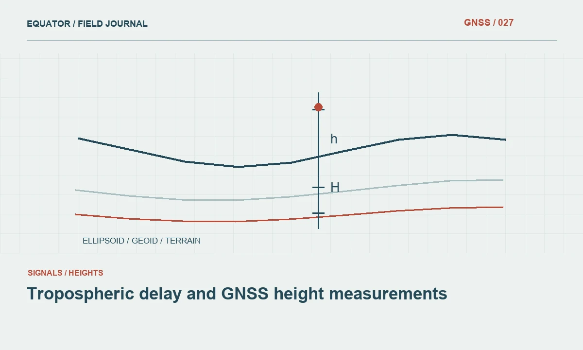
Continue learning Tropospheric delay and GNSS height measurements
Consider path length and elevation geometry
Signals from low elevation satellites travel through a different atmospheric path than signals high in the sky. Processing models account for this relationship using supported methods. An elevation mask and observation weighting influence which measurements contribute, but changing a mask is not a complete atmospheric solution. The choice also affects geometry and available observations, so it must be evaluated within the project's full collection and processing method.
Large height differences and spatial separation between observation sites can complicate the assumption that atmospheric effects are sufficiently similar for relative positioning. Plan baselines and reference selection accordingly. Do not apply a universal distance or elevation limit without the project specification and processor guidance. Instead, identify where the proposed geometry deserves stronger observation planning, additional redundancy or a different processing approach.
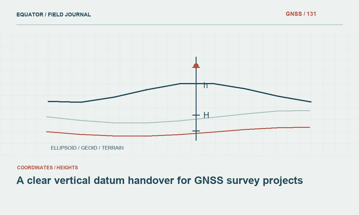
Continue learning A clear vertical datum handover for GNSS survey projects
Use suitable models and supporting information
Follow the processor's documented requirements for atmospheric modeling and any supporting meteorological information. Some workflows use standard models, while others estimate parameters or incorporate measured data. Record the selected settings and data sources. More detailed inputs are useful only when they are appropriate, reliable and interpreted correctly; a manually entered weather value with unclear time or location can create its own inconsistency.
If meteorological observations are collected, preserve instrument identity, units, timestamps and the relationship to the GNSS site. Check whether the software expects values at the antenna location or applies a supported reduction. Avoid copying values from an unrelated weather application merely because the interface offers an input field. The measurement chain should remain traceable from the source information to the model applied in processing.
Continue learning Choosing satellite ephemeris information for GNSS processing
Plan observations to support the objective
For important static control, choose duration, geometry and independent connections according to the approved method. A longer observation span can provide more information under changing satellite geometry, but it does not automatically eliminate every model weakness. Stable setup, correct antenna metadata and compatible reference data remain essential. Include checks that can reveal a height or network inconsistency rather than relying only on the processor's formal uncertainty.
For real time work, review correction service guidance and actual check behavior. A solution can appear stable while sharing an unrecognized reference or height issue. If conditions or geometry change substantially across the project, test representative points and retain the evidence. The crew should know when to pause and seek review instead of repeatedly storing coordinates until one happens to satisfy a preferred display threshold.
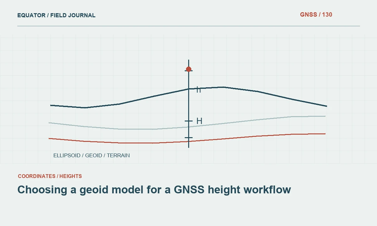
Continue learning Choosing a geoid model for a GNSS height workflow

Diagnose height discrepancies without tunnel vision
Tropospheric modeling is one possible contributor to vertical uncertainty, but it should not be the first explanation for every elevation mismatch. Start with antenna height, mark identification, ellipsoidal versus orthometric height and reference compatibility. Check the geoid or local vertical transformation. These practical issues can create systematic differences that additional atmospheric modeling would not resolve.
Then examine the observation and processing context: baseline geometry, usable satellite elevations, time coverage, model settings and residual patterns. Compare independent sessions and suitable reference information. If a discrepancy changes when multiple processing inputs are altered simultaneously, the cause remains unclear. Controlled comparisons and retained reports are more useful than selecting whichever atmospheric option produces a coordinate nearest the expected elevation.
Continue learning Tropospheric delay and GNSS height measurements
Evaluate a mountain control example
Consider a project connecting control marks across substantial terrain relief. The team plans occupations using a distant reference without reviewing the height difference or local atmospheric assumptions. Later, vertical checks show a pattern that is not present in the horizontal results. The investigation should include setup and height framework checks, followed by a review of baseline geometry and the processing model rather than an immediate manual adjustment to the heights.
A revised observation or reference strategy may be appropriate if supported by the project method. Retain the original solution, the changed inputs and the comparison results. Where additional observations are collected, design them to add useful independence. The aim is to establish a credible coordinate chain across the terrain, not simply to force the final numbers to resemble a previous dataset whose own height definition may be uncertain.
Continue learning A clear vertical datum handover for GNSS survey projects
Keep weather and positioning evidence distinct
Weather notes can help explain operational conditions, but a statement that it was humid or raining does not quantify the GNSS error. Preserve such notes as context and relate them to actual diagnostics and checks. Similarly, a clear day does not prove that atmospheric modeling is negligible. The acceptance decision should rest on the approved method and observed quality evidence rather than a visual impression of the weather.
For repeat projects, maintain consistent records so analysts can compare sessions intelligently. Changes in season, reference selection, processing models or equipment can affect comparability. A monitoring interpretation should distinguish possible physical movement from changes in the measurement method. Retaining the atmospheric configuration and relevant supporting inputs makes that distinction more achievable when a coordinate time series is reviewed later.
Continue learning Choosing satellite ephemeris information for GNSS processing
Preserve a model comparison with its purpose
If an analyst tests a different supported atmospheric option, label the run with the question it addresses and keep the other inputs controlled. Record whether the change affects residuals, height checks or only a formal uncertainty value. Do not adopt it solely because one coordinate moves toward a preferred answer. A model comparison is useful when it clarifies the evidence, and much less useful when it becomes an undocumented search through settings with no independent basis for choosing the final result.
Continue learning Choosing a geoid model for a GNSS height workflow
Document the model and the limits
The technical archive should identify the atmospheric treatment, supporting information where used, relevant reference geometry and any special review undertaken. The client facing report can summarize the practical verification and limitations without presenting every model equation. State the check results and accepted method clearly, particularly when elevations are important to the intended use.
Recognizing tropospheric effects helps a team ask better questions about geometry, reference choice and processing consistency. It does not replace routine setup controls or independent checks. A defensible GNSS survey brings those elements together, using atmospheric models as one documented part of a complete measurement process rather than as a convenient explanation for any unexpected coordinate difference.
Continue learning Tropospheric delay and GNSS height measurements
Practical checklist
- Understand the neutral atmosphere contribution.
- Preserve a model comparison with its purpose.
- Document the model and the limits.
Plan your GNSS setup
Compare the EQ10 and EQ20 receiver specifications, then discuss the configuration and support your project needs.
Compare GNSS receivers