Planning GNSS surveys on steep slopes
Control pole geometry, height interpretation and terrain feature selection when the ground changes rapidly across a hillside.
Define the surface the project needs
A steep slope survey may support terrain modelling, access planning, monitoring or mapping. Begin with the required surface and feature definitions. Breaks in slope, retaining features, exposed rock and drainage paths may matter more than a uniform pattern of points. A dense dataset that misses those features can produce a misleading model even when individual coordinates are precise. Plan observations around the terrain behaviour relevant to the deliverable.
Distinguish a terrain point from an offset or derived point. The crew should know whether the pole tip can occupy the intended location and how an inaccessible feature will be connected through an approved method. Do not move an observation to a convenient nearby spot without preserving that change in meaning. On a steep surface, a small horizontal shift can correspond to a noticeable difference in ground elevation.
Continue learning Topographic GNSS surveys: collecting more than isolated points
Inspect the reference and work zones
Choose stable control and check locations appropriate to the slope environment. Preserve recovery descriptions and inspect for disturbance between visits. A mark on loose surface material may not provide a reliable long term reference simply because it is visually distinct. Record the coordinate source and any evidence affecting the mark condition. The reference plan should support both the survey and meaningful later verification.
Consider how terrain affects the correction path. A base with clear sky may still have a poor radio connection to the far side of a ridge. Test the actual work route and separate communications evidence from satellite observation quality. If several reference setups are needed, document their coordinate sources and overlap checks. Avoid creating a hidden reference transition at the same place where the terrain becomes difficult to interpret.
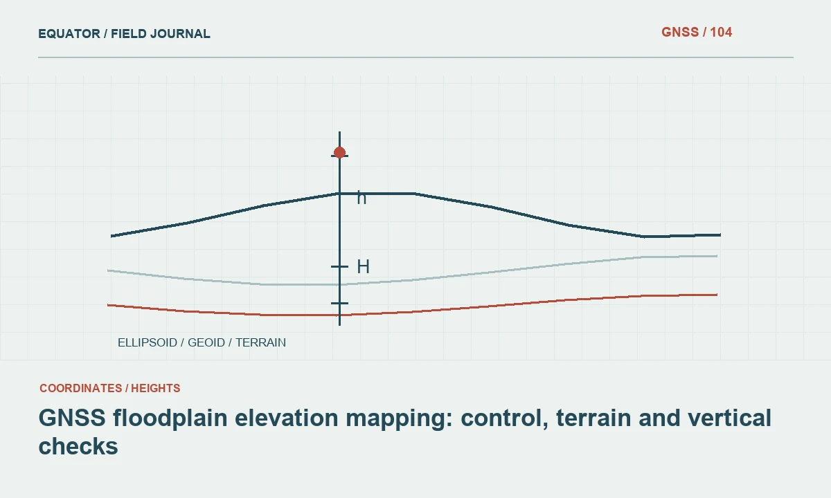
Continue learning GNSS floodplain elevation mapping: control, terrain and vertical checks
Keep pole geometry explicit
For a conventional vertical pole workflow, maintain the intended contact and level indication during the occupation. The ground slope does not change the definition of vertical antenna height. Do not measure along the hillside and enter that distance as though it were the antenna height above the point. Use the manufacturer convention for the assembled pole and preserve any adapter or extension changes.
If an approved tilt compensated or assisted mode is used, follow its initialization and operating requirements and record the active mode. A capability listed for a receiver is not automatically active in every job. Verify representative observations at suitable checks. The physical relationship between the target and antenna remains part of the measurement, and a steep site can make an unnoticed change in that relationship particularly consequential for the resulting terrain model.
Continue learning Planning GNSS riverbank surveys with clear feature definitions
Understand the coordinate quantities
Review whether the deliverable uses grid distances, ground distances or another specified representation. A horizontal map distance is different from a distance measured along the slope surface. Likewise, ellipsoidal height and an orthometric height are different coordinate quantities. Keep those definitions clear in the job and metadata so the office does not compare values that describe different geometry or vertical references.
Where a project requires a particular scale treatment or local transformation, use an approved method and retain its parameters. Do not infer a correction from a visual mismatch in a hillside image. The relationship between coordinates and measured distances should be established through the project reference workflow. A steep landscape can make a definition error look like a terrain problem, so resolve the coordinate meaning before editing the observed surface.
Continue learning GNSS field surveys in wetlands: surface definition and reliable records
Collect meaningful terrain structure
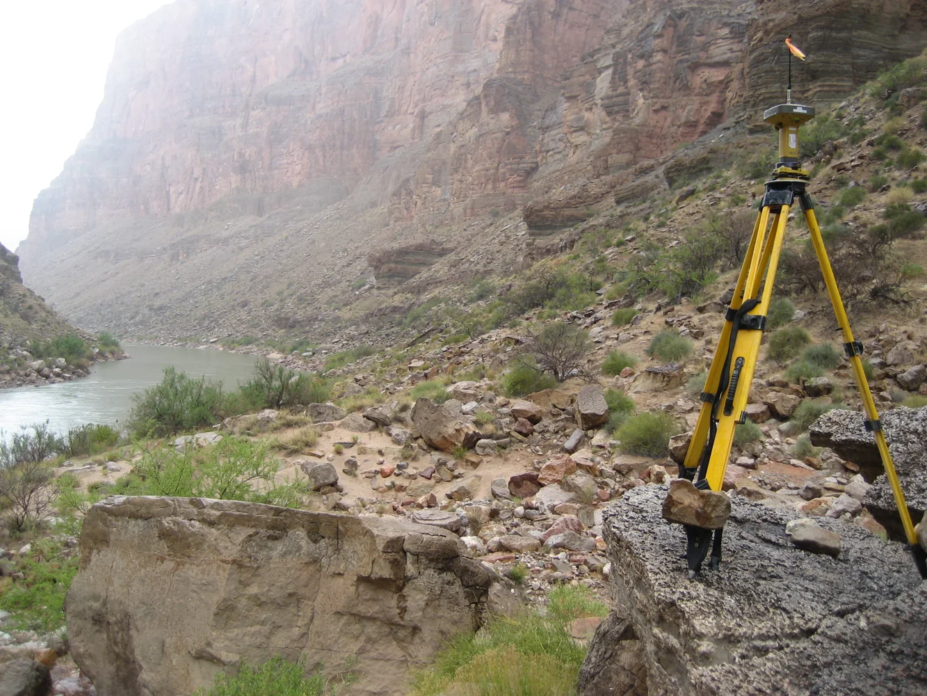
Observe changes in slope and feature edges according to the specification. Preserve breakline sequence and labels. A terrain model interpolates between observations, so point placement influences what the model can represent. More points in a featureless patch do not necessarily compensate for a missing crest, toe or drainage break. Use sketches and photographs to explain important transitions that may be difficult to recognize later from coordinates alone.
Record surfaces that could not be observed and avoid silently filling them with invented points. If another measurement system supplies part of the terrain, document its reference connection and method boundary. Check overlap through suitable evidence. A combined model can be coherent when its sources are known, but it becomes difficult to assess if the final point cloud or surface hides where observations ended and assumptions began.
Continue learning Topographic GNSS surveys: collecting more than isolated points
Use checks suited to the consequences
Verify horizontal and vertical components at appropriate points and repeat critical observations through the project procedure. Inspect disagreements in the context of physical contact, pole geometry and reference settings. A small horizontal mismatch on a steep face may influence the apparent height comparison, so make sure repeated occupations refer to the same defined physical point rather than neighbouring positions on the surface.
Keep individual observations before adopting or averaging coordinates. If a point is unstable or ambiguous, improve the definition or use another approved connection. Do not smooth away a discrepancy solely because the resulting profile looks better. The acceptance decision should be supported by observations and checks, with rejected points and corrective actions retained. This is especially important where a terrain model will inform decisions that depend on local shape or elevation.
Continue learning GNSS floodplain elevation mapping: control, terrain and vertical checks
Review the terrain model as evidence
Inspect plan views, profiles and a three dimensional representation where appropriate. Look for missing breaks, incorrect line connections and isolated spikes. Use the source observations and field notes to investigate them. A spike may be a measurement error, a coding mistake or a genuine feature. The model's appearance is a useful diagnostic, but it does not decide which explanation is correct without supporting evidence.
Review method transitions and difficult areas separately. If an open plateau and a wooded slope used different workflows, ensure their overlap has been checked and their limitations remain visible. Preserve a status map for unresolved areas. Early review while the crew can return is more effective than extensive office editing after access has ended, particularly when the physical feature definition cannot be reconstructed from the existing notes.
Continue learning Planning GNSS riverbank surveys with clear feature definitions
Deliver definitions with the surface
Provide coordinate and height definitions, control sources, terrain coding rules and the observation methods used. Identify gaps, derived areas and important limitations. A client receiving only a smooth surface may assume more uniform evidence than the survey contains. Keep the original points and breaklines available with the approved model so the relationship between measurements and interpolation can be examined later.
For example, a hillside crest captured as a defined breakline supports a different interpretation from a set of scattered points nearby. That distinction should survive export and modelling. Reliable slope surveying combines physical geometry, deliberate feature selection and a documented reference. The resulting dataset is useful because the terrain shape can be traced to observations and because the limits of those observations remain clear.
Continue learning GNSS field surveys in wetlands: surface definition and reliable records
Practical checklist
- Keep vertical pole height distinct from slope distances.
- Observe terrain breaks and preserve their sequence.
- Review models against field evidence before editing suspicious features.
Plan your GNSS setup
Compare the EQ10 and EQ20 receiver specifications, then discuss the configuration and support your project needs.
Compare GNSS receivers