Planning GNSS riverbank surveys with clear feature definitions
Connect bank positions, exposed terrain and water level observations to a documented reference without confusing changing water with permanent ground.
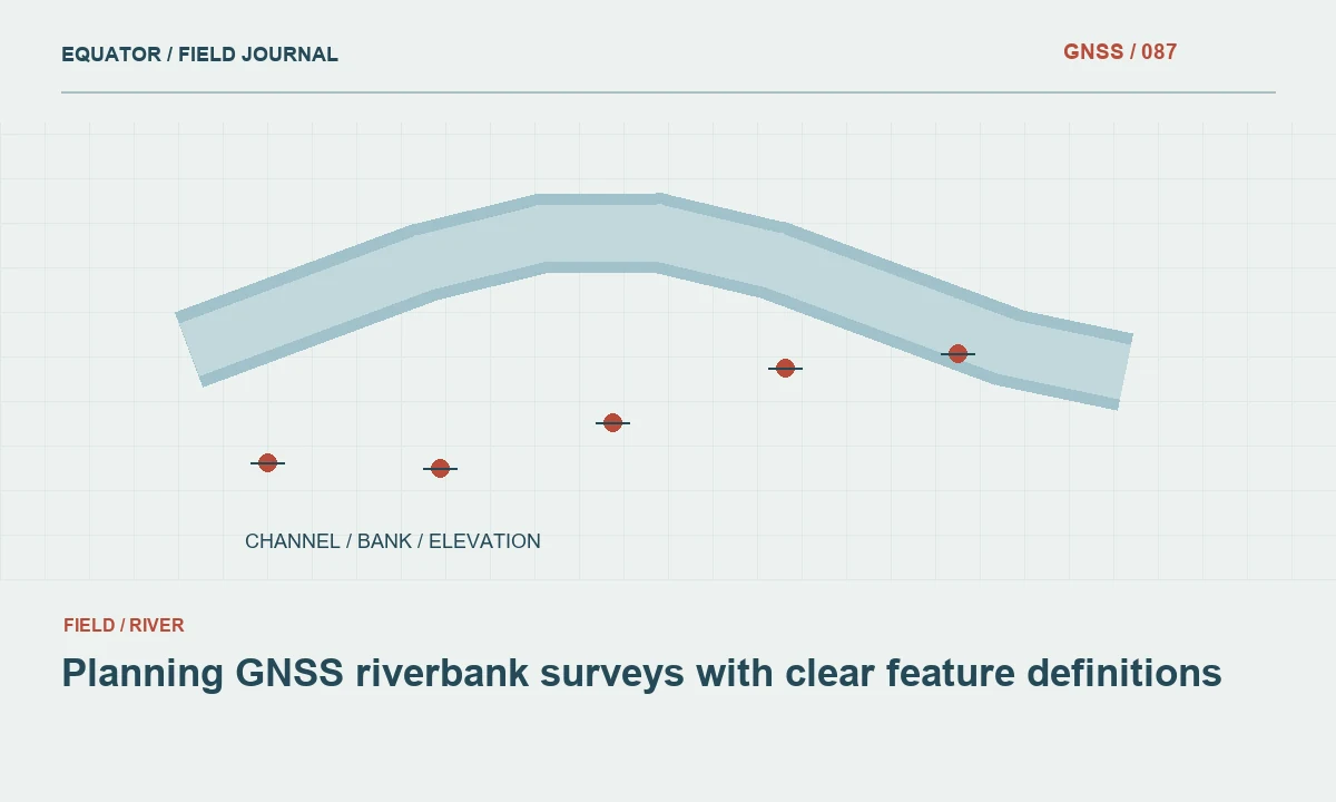
Define the river features first
A riverbank survey may support mapping, erosion comparison, design or asset records. Those purposes need different feature definitions. Specify whether the crew must observe the top of bank, toe, visible water edge, structures or selected terrain points. A coordinate labelled riverbank is ambiguous if the physical break is not defined. Use sketches and field codes so different operators identify the same feature in comparable sections.
Distinguish permanent or semi stable ground features from the water edge observed at a particular time. Water level can change during the campaign, so an edge coordinate is an observation of conditions at that time rather than a fixed boundary of the channel. Record the observation time and relevant context. This is especially important when datasets from different days are later compared as though they describe one unchanged surface.
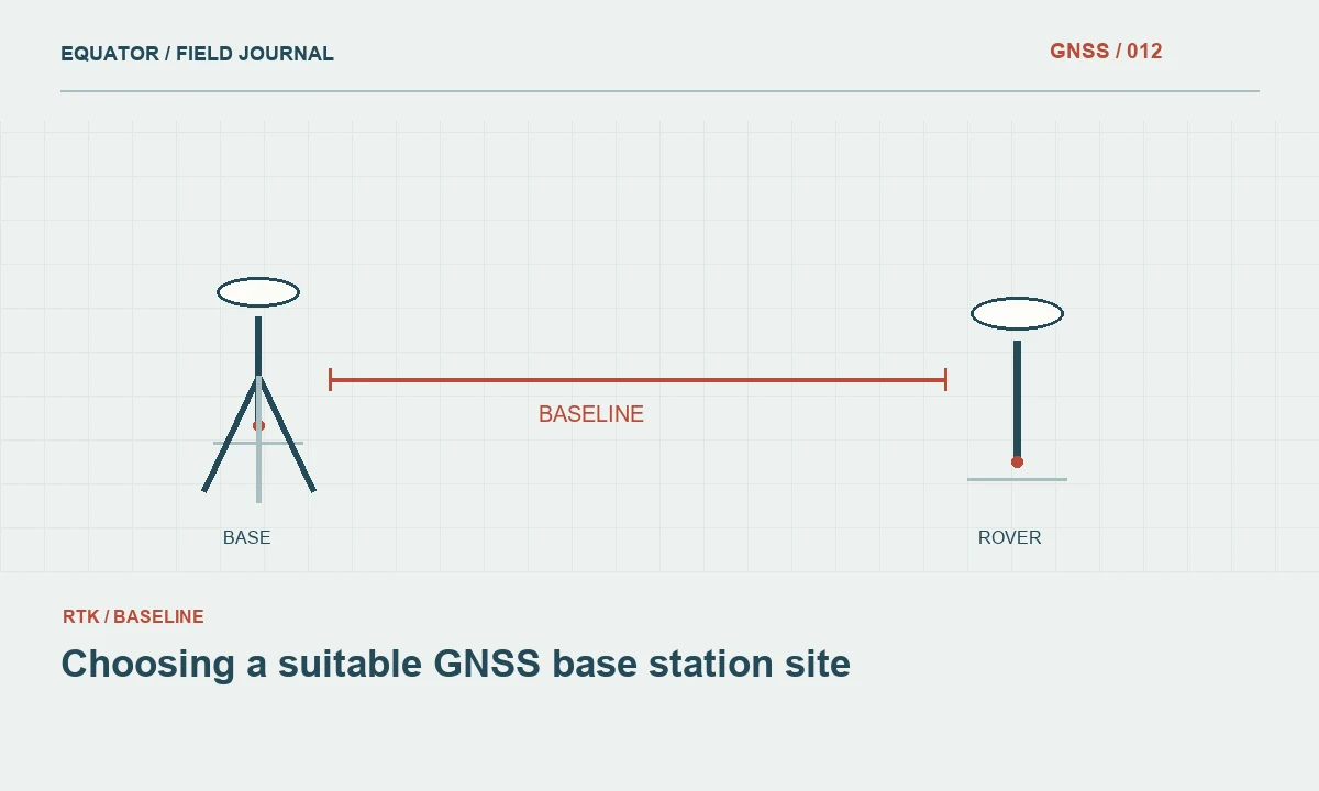
Continue learning Choosing a suitable GNSS base station site
Establish suitable control
Choose stable reference and check points outside areas likely to be disturbed during the work period. Preserve recovery descriptions and coordinate sources. A mark placed in loose bank material may not remain stable between visits even if it is easy to reach. Inspect the surroundings and document any evidence of erosion, settlement or recent disturbance that could affect confidence in the reference point.
Distribute checks along the corridor and across different work zones where appropriate. Height control matters when the survey supports profiles or drainage interpretation. Confirm the vertical reference and geoid workflow separately from horizontal mapping. A common height offset can remain hidden in a visually convincing plan view, so the check design should test the quantities that the eventual analysis will actually use.
Continue learning Planning GNSS surveys for irrigation channels
Reconnoitre sky view and communications
River corridors may include trees, steep valley sides, bridges and other obstructions. Map the likely difficult sections and test the correction connection along the intended route. A strong connection near the access point does not establish reliable delivery around a bend or below a ridge. Record correction age and solution behaviour separately so communications and satellite observation problems can be distinguished.
Use open check locations before and after difficult sections according to the project procedure. Preserve interruption times and any alternative source or base setup used. If the project is divided into zones, plan overlap checks and reference transitions in advance. The final corridor dataset should remain consistent even when the operational arrangement changes as the crew moves through different terrain and coverage conditions.
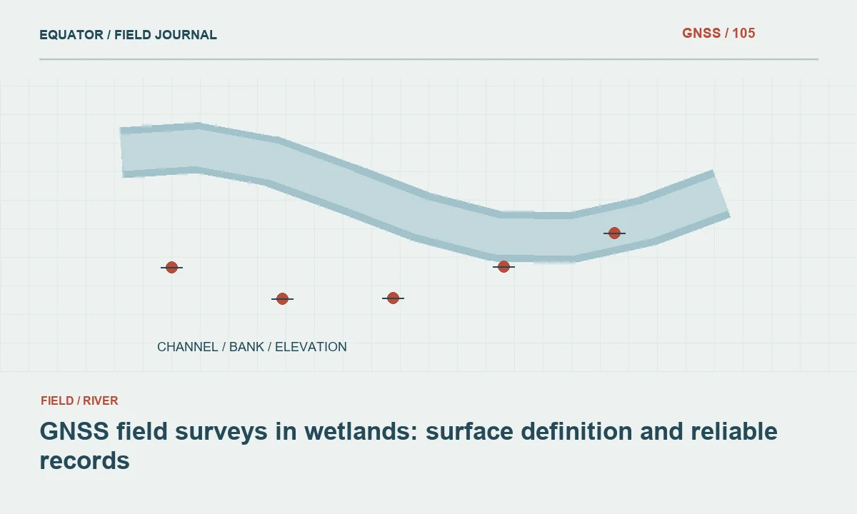
Continue learning GNSS field surveys in wetlands: surface definition and reliable records
Measure the defined bank geometry
Collect points at meaningful changes in the bank shape and at the spacing required by the deliverable, rather than following a uniform interval without regard to terrain. Preserve breakline identity and sequence. A smooth line can be geometrically valid while missing an important bend or elevation change. The field dictionary should explain which feature each sequence represents and how to start and stop it at interruptions.
Maintain the intended pole contact and antenna geometry. Soft or irregular surfaces can change the effective contact during an occupation. Record when a point is derived through an approved offset or another method because direct occupation is unsuitable. Do not silently substitute a nearby convenient position for the defined bank feature. The relationship between the observed point and the target must remain measured and understandable.
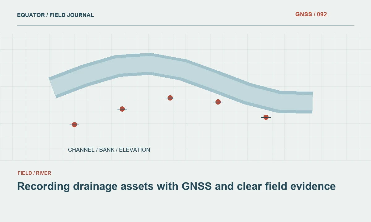
Continue learning Recording drainage assets with GNSS and clear field evidence
Handle water observations explicitly
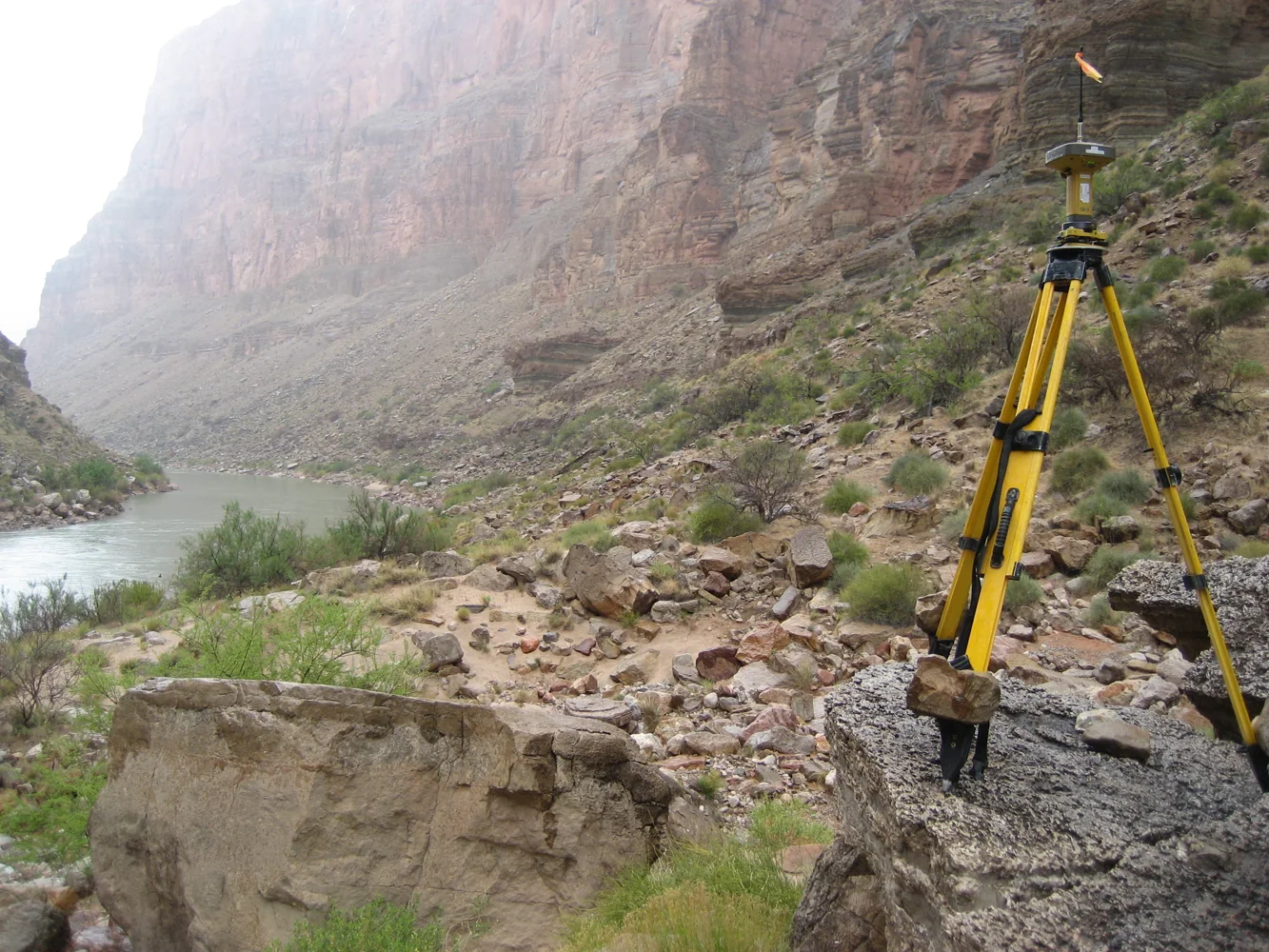
If water edge or water level observations are required, record their time and physical definition. A visible edge can shift with flow, waves or local conditions. Keep those observations distinct from ground breaklines and permanent structures. When several crews work along the river, use a consistent time convention so the office can interpret whether differences may reflect changing conditions rather than terrain alone.
GNSS observations of a pole antenna do not directly measure submerged channel geometry without an appropriate separate measurement method and geometry. Do not extend exposed bank points across unseen water and describe the result as observed bathymetry. If another system supplies underwater measurements, preserve its method, timing and reference connection separately. The final dataset should distinguish directly observed surfaces, derived features and areas with no measurement evidence.
Continue learning Choosing a suitable GNSS base station site
Use photographs and notes for interpretation
Take views that show the feature definition, bank condition and surrounding context. Link them to point or section identifiers. A close image can explain a breakline contact, while a wider view helps the office understand why a section changes method or why a feature was not observed. Include relevant changes such as recent disturbance without assigning an unsupported cause to every visible landform.
Keep section sketches and observation notes concise but specific. Identify the side of the river, direction of the sequence and any offset geometry. Avoid relying solely on a long list of point codes whose meaning is obvious only to the original operator. River features can be difficult to reconstruct from coordinates alone, especially where vegetation obscures the ground or several plausible bank breaks occur close together.
Continue learning Planning GNSS surveys for irrigation channels
Review profiles and linework early
Inspect the data in plan and profile where those views support the deliverable. Look for sequence errors, missing breaks and unexplained height changes. Compare independent checks and repeat observations rather than correcting suspicious points visually to create a smooth profile. A genuine abrupt terrain change should remain, while a measurement error requires evidence and a documented correction or remeasurement.
Review work zones separately if observation conditions or reference setups differ. Keep unresolved sections visible in the status register. If a return visit is required, provide precise identifiers, photographs and the question to resolve. This is more efficient than asking another crew to revisit a broad area because the river line looks unusual. The review should connect a suspected issue to a physical feature and an evidence based action.
Continue learning GNSS field surveys in wetlands: surface definition and reliable records
Deliver a time aware river dataset
Include horizontal and vertical reference definitions, observation dates, feature coding rules and method limitations. Identify water related observations and their time convention. Preserve control, setup records and checks with the archive. A future comparison should be able to distinguish actual feature differences from changed definitions, different water conditions or an unrecorded coordinate reference change between campaigns.
For a hypothetical erosion comparison, the top of bank line and a time tagged water edge should remain separate features because they answer different questions. Combining them into one convenient outline would obscure the evidence. Riverbank GNSS work is most useful when it preserves the physical meaning and timing of each observation. That clarity supports later analysis more effectively than a dense coordinate file whose relationship to ground and water is uncertain.
If comparison with an earlier river survey is required, review the earlier feature definitions before interpreting differences. A previous toe line and a new top-of-bank line can differ substantially without representing movement of one common feature. Preserve both definitions and compare like quantities, with coordinate and observation-time differences addressed separately.
Continue learning Recording drainage assets with GNSS and clear field evidence
Practical checklist
- Define bank breaks, water edge and structures as distinct features.
- Record water related observations with times and reference information.
- Preserve unobserved underwater areas as unobserved.
Plan your GNSS setup
Compare the EQ10 and EQ20 receiver specifications, then discuss the configuration and support your project needs.
Compare GNSS receivers