GNSS field surveys in wetlands: surface definition and reliable records
Plan wetland observations around access, changing water conditions, vegetation and a clearly documented coordinate and height reference.
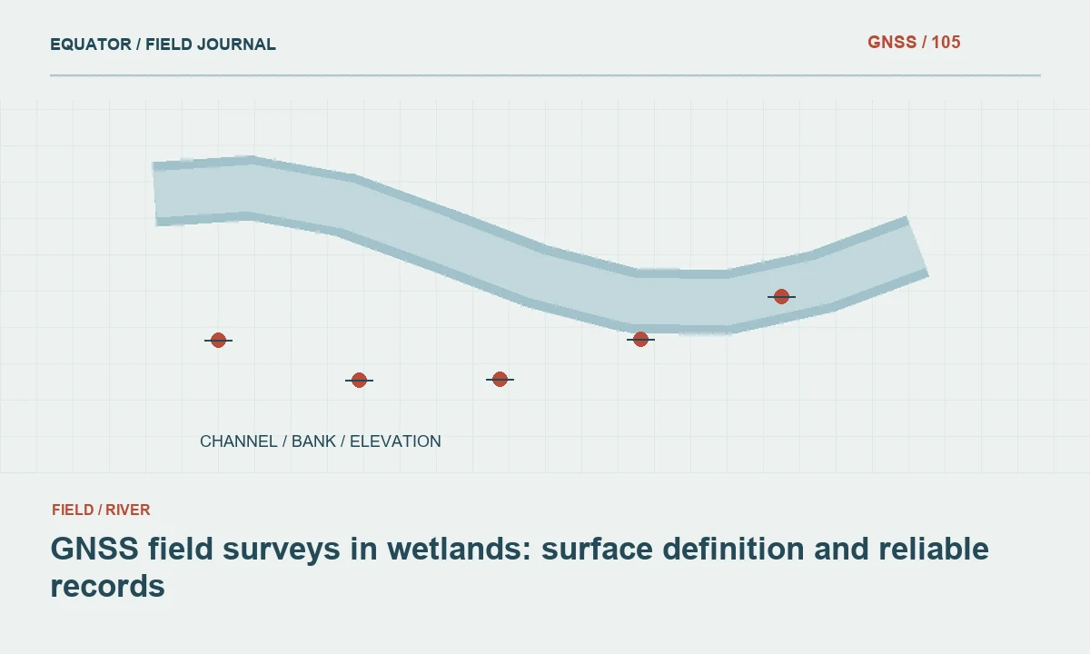
Define the wetland observation target
Wetland surveys can describe habitat plots, restoration works, water-control structures or terrain. State what each position represents before collecting it. A vegetation boundary, visible water edge and ground elevation are different observations. They may occur close together but should not share a generic point code that leaves the office team to infer the intended physical feature.
Agree the required attributes and evidence with the project team. Include observation date, surface condition and the method used to identify the target. A coordinate alone rarely captures enough context for later ecological or restoration analysis. If a feature cannot be observed directly, record that limitation and the source of any interpretation rather than presenting an estimated location as a measured fact.
Continue learning GNSS corridor surveys: controlling a long, changing work area
Plan access for the environment and work rules
Review permitted access, site protection requirements and the project’s field safety arrangements before entering the wetland. Soft ground, water, channels and dense vegetation can limit both movement and stable instrument setup. The survey plan should identify suitable routes and observation positions. Do not allow a desired point pattern to override the approved access conditions.
Choose alternative observations where direct occupation is unsuitable. Record inaccessible areas and whether their geometry comes from another survey method, imagery or existing records. Keep those sources distinguishable. A survey can be useful while acknowledging gaps; the important point is that the recipient understands where the evidence changes and what the unobserved areas mean for the intended analysis.
Continue learning Planning GNSS riverbank surveys with clear feature definitions
Establish what the pole tip is touching
In soft or vegetated ground, the antenna may be positioned accurately while the pole tip rests on an uncertain surface. Decide how the project defines ground and how the crew will recognise it. Record whether an observation is on firm ground, vegetation, a boardwalk or another support. These distinctions affect the interpretation of elevation more than a generic precision value can explain.
Avoid assuming that pushing a pole deeper creates a better ground measurement. The physical reference must be defined and consistent with the survey purpose. Where the ground surface cannot be identified reliably, flag the observation and consider another method. Photographs and short field notes can preserve evidence that will otherwise be lost when conditions change or vegetation is removed.
Continue learning GNSS mapping for powerline corridors: control and field evidence
Control the coordinate and height workflow
Confirm the horizontal reference, vertical reference, units and coordinate epoch where relevant. If the project compares GNSS elevations with water-level records, check that both refer to compatible height systems. Ellipsoidal height, geoid-derived elevation and a local gauge zero are not interchangeable. Document any approved relationship between them and the source of that relationship.
Use suitable control checks and retain the antenna height and correction method records. Keep model names and versions with the field job. A controller export may contain an elevation column without revealing the operation that produced it. The final dataset should preserve enough information for another surveyor to understand and, where possible, reproduce the height calculation.
Continue learning Planning GNSS surveys on steep slopes
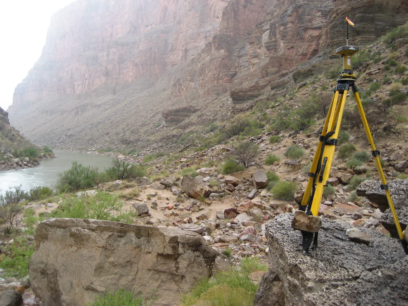
Evaluate satellite conditions within vegetation
Wetlands can include open water, reeds, shrubs and tree canopy. Satellite visibility and reflections can therefore vary over short distances. Inspect the actual observation environment and use receiver indicators together with repeated occupations and independent checks. A fixed RTK solution is useful information but is not complete evidence that a difficult local observation meets the project’s requirement.
Plan for communication gaps where real-time corrections depend on cellular coverage. Store raw observations when the selected equipment and workflow permit it, and use an appropriate alternative when real-time positioning cannot be supported. Record method changes in the observation metadata. Do not merge corrected and uncorrected positions under an identical quality description merely because they occupy the same map layer.
Continue learning GNSS corridor surveys: controlling a long, changing work area
Preserve the time dimension
Water extent and accessible ground may change during the survey period. Record timestamps and relevant water or weather observations according to the project plan. When comparing repeated visits, use the same feature definition and document differences in conditions. A moved water edge is not necessarily a changed wetland boundary in the ecological or administrative sense.
If observations from several days are combined, show their dates or coverage. Avoid implying that the resulting map represents one instantaneous state when conditions varied materially. Link photographs to observation identifiers and dates. These records allow later analysts to separate a real change in the site from a difference in timing, visibility or field interpretation.
Continue learning Planning GNSS riverbank surveys with clear feature definitions
Review geometry and ecological attributes together
Inspect point positions, line connections and polygon boundaries against field notes and imagery where appropriate. Check for duplicate identifiers, gaps and improbable jumps. Review the attribute definitions with the relevant project specialist. An accurately located point can still be assigned the wrong habitat or feature class if the field coding was unclear.
Keep independent check observations separate from the data used to construct or adjust a surface. Evaluate differences by land-cover or surface condition when those conditions affect measurement. Explain excluded observations and remaining uncertainty. The review should answer whether the dataset supports the intended wetland task, rather than only whether it satisfies a generic file-format validation.
Continue learning GNSS mapping for powerline corridors: control and field evidence
Deliver an interpretable wetland record
Provide geometry with reference definitions, observation methods, dates, quality evidence and surface descriptions. Include the data dictionary and the meaning of unknown or inaccessible status codes. State where ground elevation, water surface and vegetation observations differ. This prevents later users from treating all third-coordinate values as equivalent terrain heights.
Archive the original field records, linked photographs and processing versions. Future visits should connect new observations to the existing feature identifiers without erasing earlier states. A dependable wetland GNSS survey is an account of what was observed, how it was positioned and under which conditions. That account makes the data useful when the wetland itself has changed.
Continue learning Planning GNSS surveys on steep slopes
Separate a boardwalk point from wetland ground
A boardwalk can offer stable access and an open observation location, but its deck level is not the wetland ground elevation. If the project needs ground beneath or beside it, use a defined measurement arrangement and record the relationship. Keep the deck observation as its own feature. Do not relabel the coordinate as ground simply because it lies within the wetland boundary on the map.
The same principle applies to floating vegetation mats or temporary supports used during fieldwork. Record what physically supported the pole and whether the target surface was directly identified. An explicit surface description allows the office team to use the observation appropriately or exclude it from a bare-earth model. Without that description, a technically precise antenna position can become an incorrect environmental elevation with no obvious warning in the exported file.
For a repeated environmental study, make the surface-description code part of the comparison filter. A new observation on firm exposed ground should not automatically be compared with an older boardwalk or floating-mat observation at a similar map location. Inspect the photographs and target definition first. If the surfaces differ, retain both records and explain why they do not provide a direct ground-change measurement. This preserves useful field information without converting a change in observation support into an apparent environmental elevation trend.
Continue learning GNSS corridor surveys: controlling a long, changing work area
Practical checklist
- Define ground, water and vegetation observations separately.
- Record soft-ground and visibility limitations in the field.
- Preserve timestamps and reference compatibility for repeat visits.
Plan your GNSS setup
Compare the EQ10 and EQ20 receiver specifications, then discuss the configuration and support your project needs.
Compare GNSS receivers