Working with intermittent mobile data during RTK surveys
Plan connection checks, recovery steps and alternative observations for projects with unreliable cellular coverage.
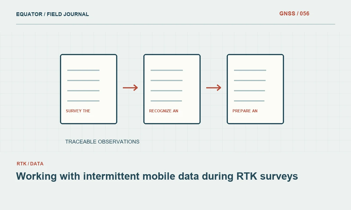
Survey the connection along the work route
Mobile coverage should be tested where the rover will actually operate. A good connection at the site entrance does not establish reliable service behind a ridge, beneath dense vegetation or inside an industrial yard. During reconnaissance, record the locations where correction delivery becomes intermittent. Include the time of day and the device used, because network behaviour and antenna arrangements can vary.
Test the complete workflow, not only a general web page. The correction client must reach the intended service, authenticate and receive usable data at the rover. A phone may browse successfully while a controller has an incorrect access setting or the selected stream is unavailable. Separate these checks so a failure can be assigned to the network, the service or the local configuration with reasonable confidence.
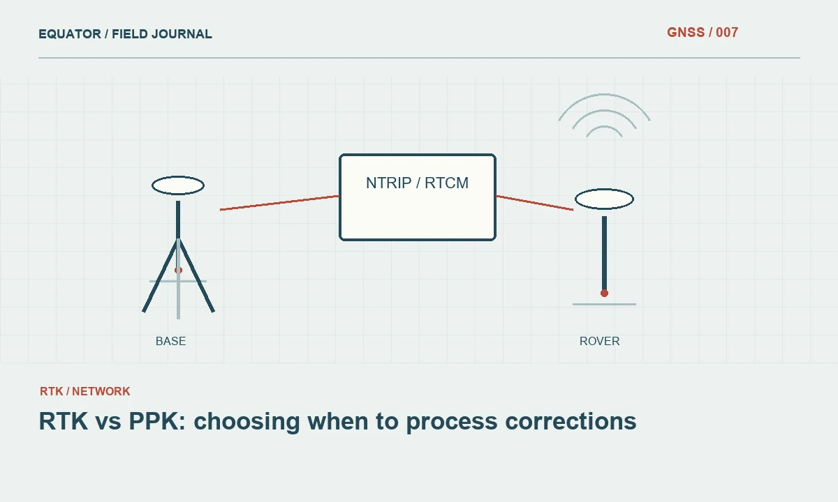
Continue learning RTK vs PPK: choosing when to process corrections
Understand which device carries the connection
Some workflows use a modem in the receiver, others use a controller or a phone hotspot. Write down which device holds the mobile subscription and which connection carries the correction stream to the rover. Bluetooth, Wi-Fi and cable links create additional stages in that path. An operator who knows the path can inspect the correct battery, radio link or application instead of restarting unrelated equipment.
Keep the connection arrangement consistent within a test. Switching between a receiver modem and a phone hotspot changes more than the mobile network path; it may also change client settings and background power management. If a switch is part of the approved fallback procedure, test it in advance. Record the new arrangement when it is used so the office can interpret any resulting change in performance.
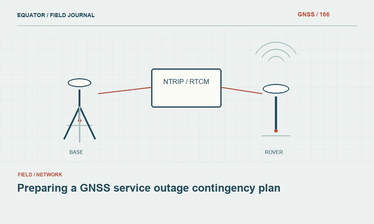
Continue learning Preparing a GNSS service outage contingency plan
Recognize an interruption promptly
Watch correction age and solution state rather than relying only on the mobile signal icon. A device can remain registered to a network while data delivery has stalled. Use available alarms and keep the relevant status visible during production. The crew should know how the controller marks observations collected with missing or stale corrections and whether an automatic recording mode continues during an outage.
When a connection becomes unreliable, pause critical point collection and note the interruption time. Preserve observations already recorded rather than deleting them immediately. Their quality may require review, but the timing helps define the affected interval. If automatic collection was running, identify the sequence of points produced during the outage so they cannot accidentally enter the accepted dataset without assessment.
Continue learning Planning GNSS observations under tree canopy
Choose a practical recovery location
Moving a short distance to open terrain may improve communications, but it can also improve satellite visibility at the same time. Record the move and the purpose. Avoid holding a pole in an awkward or unstable position simply to obtain a stronger network signal. The communication device can sometimes be repositioned independently of the measurement point, provided the local link and the approved workflow remain reliable.
If the crew uses a phone hotspot, check its battery and power saving settings according to the device instructions. Keep the phone protected without burying it beneath equipment that blocks the signal. A recovery plan should be realistic for the site and crew size. It should not depend on leaving equipment unattended or standing where the operator cannot maintain a stable survey setup.
Continue learning GNSS integration in mobile mapping: trajectory, timing and checks

Prepare an alternative method
Where supported and appropriate, raw data logging can preserve observations for later processing. Confirm before fieldwork that the required base data, time overlap, file formats and processing capability will be available. Recording a file does not guarantee that every interrupted real time point can be recovered to the desired quality. The alternative workflow needs its own validation and acceptance procedure.
A local radio link or another correction service may be an option, but each introduces configuration and reference questions. Check operating permissions, equipment compatibility and coordinate consistency before relying on the alternative. Do not switch streams purely because a connection is available. A convenient source with a different reference frame or unsuitable data content can create a more serious problem than the original outage.
Continue learning RTK vs PPK: choosing when to process corrections
Check the recovered survey state
After restoring communications, confirm the selected service, mountpoint and required solution status. Let the receiver stabilize under suitable observation conditions. Then measure a known or independently verified check point. This check tests the complete positioning result after recovery, including the possibility that the operator selected a different source or changed an important job setting during troubleshooting.
Mark the recovery time and save the check result. If a production point was interrupted midway through an occupation, repeat it as a separate observation rather than silently merging observations collected under different conditions. Preserve both records and identify the accepted result. This makes the dataset easier to review and prevents a later average from hiding the operational break that affected the measurement.
Continue learning Preparing a GNSS service outage contingency plan
Plan production around the evidence
Use the reconnaissance and outage log to estimate realistic production. A crew that repeatedly stops to restore mobile data may benefit from a different route, an alternate communications arrangement or a planned combination of methods. Build recovery and check time into the schedule. An optimistic point count based on a clear site demonstration does not describe work in an area where the connection repeatedly disappears.
Report important coverage limitations and the method used in each work zone. Include any raw observations awaiting processing and keep them separate from accepted deliverables. Intermittent mobile data does not make GNSS unusable, but it changes the operational plan. Reliable results come from recognizing interruptions, preserving evidence and verifying recovery before the crew resumes measurements that other people will depend on.
Continue learning Planning GNSS observations under tree canopy
A fallback that has been tested
Consider a project where mobile data are available near the access road but unreliable in the lower valley. Before production, the crew could test raw logging and the proposed later processing route at representative check points. That test must include obtaining the required reference data and completing the processing, not just confirming that the receiver creates a file. The result establishes whether the fallback is operationally usable under the intended conditions.
Keep real time accepted points and observations awaiting later processing in clearly different states. A file waiting for office work is not yet an accepted coordinate merely because the crew has left the site. Record which method was used in each valley section and how the final checks were performed. This distinction makes scheduling more realistic: connection interruptions may change when a result becomes available even when an alternative method can eventually produce an acceptable deliverable. It also prevents unprocessed provisional coordinates from reaching the client as finished survey data.
Keep offline control descriptions and approved recovery instructions available on the field device or another suitable medium. An outage is a poor time to discover that every useful reference document requires the same mobile connection that has just failed. Verify access during preflight, including the maps and check point information needed to resume responsibly.
Continue learning GNSS integration in mobile mapping: trajectory, timing and checks
Practical checklist
- Test the full correction connection along the actual survey route.
- Document which device supplies mobile data and how it reaches the rover.
- Validate the fallback method and check coordinates after recovery.
Plan your GNSS setup
Compare the EQ10 and EQ20 receiver specifications, then discuss the configuration and support your project needs.
Compare GNSS receivers