Choosing and documenting a temporary GNSS base mark
Create a recoverable reference setup with stable support and a clear record of its coordinate and limitations.
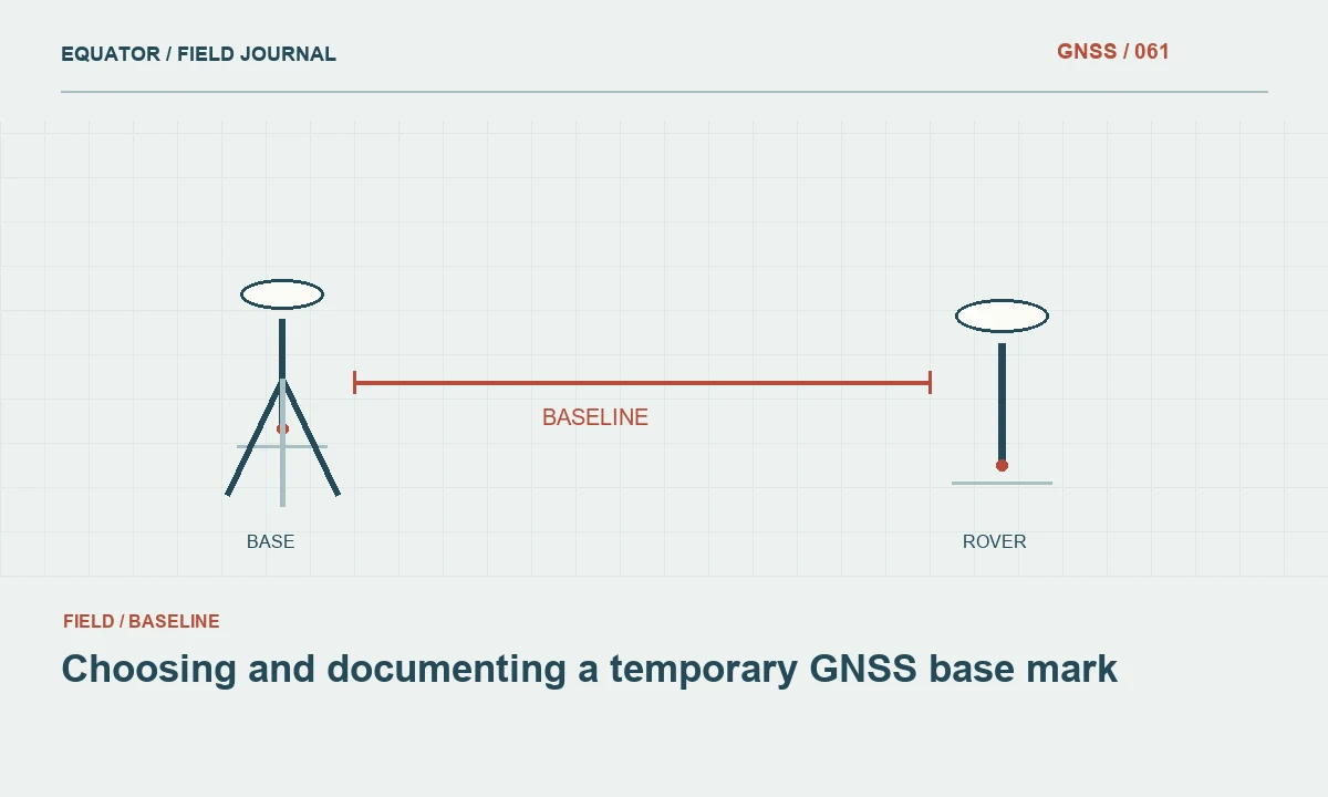
Define the role of the temporary mark
A temporary base mark supports a particular campaign or work period. It should have a defined physical centre, a recoverable description and a coordinate established through the approved project method. Calling a mark temporary does not make its stability unimportant. Movement during the session changes the reference for the rover, while uncertainty about its identity makes later recovery and comparison difficult.
Decide whether the mark is intended only for one setup, for repeated daily occupations or for a longer series of surveys. That decision influences the location, construction and documentation. A convenient position on a loose surface may be unsuitable for a repeated reference. Conversely, installing an elaborate monument is unnecessary if a suitable existing stable mark already serves the project and can be used with permission.
Continue learning Choosing a suitable GNSS base station site
Inspect the site before marking it
Choose a location with clear sky, stable ground and practical access for the crew. Consider nearby reflective surfaces, vegetation growth and activities that could disturb the setup. A point beside a stockpile may be open today but buried tomorrow. A mark in a working traffic route may be impossible to occupy consistently even if its satellite visibility is excellent.
Look beyond the antenna location. The tripod legs need firm support, communications equipment needs a workable arrangement and the setup should remain identifiable throughout the session. Note drainage, soft ground and the possibility of settlement under the support. The site choice should reflect the whole base system rather than a single view of the sky taken while standing at the centre of the proposed mark.
Continue learning A daily GNSS base setup workflow for survey crews
Use an unambiguous physical centre
The mark should tell another operator exactly where to centre the instrument. A broad paint circle without a defined centre creates avoidable uncertainty. Use a marking method suitable for the surface and project permissions, then describe the centre clearly. Record any witness ties or nearby features that help locate it without confusing those features with the actual occupied point.
Photograph the mark close enough to show its centre and far enough away to show its surroundings. Include a simple recovery sketch when the area contains similar features. If the mark may be removed or covered during construction, identify that limitation in the record. A temporary reference should not quietly become the only surviving control connection for a later project that assumes it is permanent.
Continue learning Selecting a site for a continuously operating GNSS reference station
Establish the coordinate appropriately
Select an approved method to determine the mark coordinate and retain the supporting observations. The method may involve an existing control connection or GNSS processing under the project plan. Do not substitute a convenient autonomous position when the deliverable requires a verified reference connection. Record reference frame, epoch where relevant, units and height type alongside the coordinate.
If the coordinate is provisional, label it as provisional in both the controller and office records. Identify what work can proceed under that status and what acceptance step remains. This prevents a preliminary value from becoming the final reference simply because it was copied into several job files. A revision should have a clear identifier and an assessment of observations collected using the earlier value.
Continue learning Planning static GNSS occupations for project control

Build a repeatable antenna setup
Use appropriate support and measure the antenna height to the correct reference point. Record the antenna model and measurement method, including whether the observed distance is vertical or slant. Check centering and stability after tightening the equipment. A carefully documented mark cannot provide a stable reference if the tripod moves or the antenna reduction is inconsistent between occupations.
For repeated setups, retain a setup sheet with the approved coordinate source and space for each day's height and checks. Do not assume that a previously used pole or tripod configuration has the same antenna height every day. Changes to adapters, extension pieces or the antenna itself can alter the reference geometry. The physical arrangement should be inspected rather than inferred from the equipment case label.
Continue learning Choosing a suitable GNSS base station site
Verify the mark across sessions
At the start of each session, compare the mark condition with the original description and photographs. Look for disturbance, resurfacing, cracking or movement of surrounding material. Recheck the resulting rover coordinates against independent control according to the project procedure. A stable looking mark can still have moved, and a good satellite solution does not prove that its assigned coordinate remains valid.
If the mark is suspect, preserve the evidence and establish an alternative through an approved connection. Record the relationship between old and new setups and check overlapping work. Do not move the physical mark slightly and keep its old identifier without explanation. Point identity includes location and history; preserving that distinction helps prevent later users from treating two different centres as one continuous reference.
Continue learning A daily GNSS base setup workflow for survey crews
Close the temporary reference responsibly
When the campaign ends, record whether the mark remains, has been removed or should no longer be used. Keep the coordinate history, setup dates, photographs and observation files together. If a client will reuse the reference, provide the limitations and recovery information explicitly. A coordinate list without the mark description is not enough to support reliable future occupation.
The final note should distinguish the temporary operational reference from any permanent project control. Include the checks that supported the work and any periods affected by a setup change. A temporary base mark succeeds when it is stable for its intended use, recoverable for the required period and documented well enough that another crew can understand what it represented and when that representation was valid.
Continue learning Selecting a site for a continuously operating GNSS reference station
A temporary mark recovery package
A compact recovery package includes a close photograph of the centre, a wider location view, a sketch, a description of the surface and the approved coordinate source. Add the dates of use and the intended lifetime. If the mark is near construction, explain the activities likely to disturb it. These details allow another crew to assess whether the point they find is still the one that supported the original work.
Do not rely only on a phone map pin to recover a small mark. The approximate position helps reach the area, while the description identifies the physical centre. If the mark cannot be recovered unambiguously, establish a new documented reference rather than selecting the nearest plausible feature. Record the connection to surviving control and verify overlapping work. This preserves the distinction between recovering an existing temporary reference and creating a replacement whose coordinate and history need their own evidence.
Assign the temporary mark an identifier that will not be reused for another location after removal. Retiring an identifier preserves the distinction between a historical reference and a replacement nearby. A later archive search should not return two unrelated physical centres under one name simply because both served the same convenient operational purpose.
Continue learning Planning static GNSS occupations for project control
Practical checklist
- Define the intended lifetime and use of the mark.
- Record a clear centre, recovery photographs and coordinate source.
- Inspect the mark and verify each repeated base setup.
Plan your GNSS setup
Compare the EQ10 and EQ20 receiver specifications, then discuss the configuration and support your project needs.
Compare GNSS receivers