Choosing a geoid model for a GNSS height workflow
Select and document a model that is compatible with the project’s horizontal frame, vertical reference and area of use.
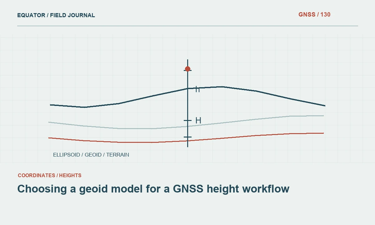
Start with the required height reference
The right question is not simply which geoid model is newest or most detailed. First identify the vertical reference required by the project and the reference of the GNSS ellipsoidal heights. Geoid and related height models have particular definitions and areas of use. A model suitable for one region or datum relationship may be inappropriate for another.
Obtain the project’s approved reference information from the responsible survey or geodetic authority. Keep national, local engineering and specialised coastal height requirements distinct. A generic sea-level description does not fully define a vertical datum. The model selection should support a documented relationship between source heights and the elevations the recipient needs.
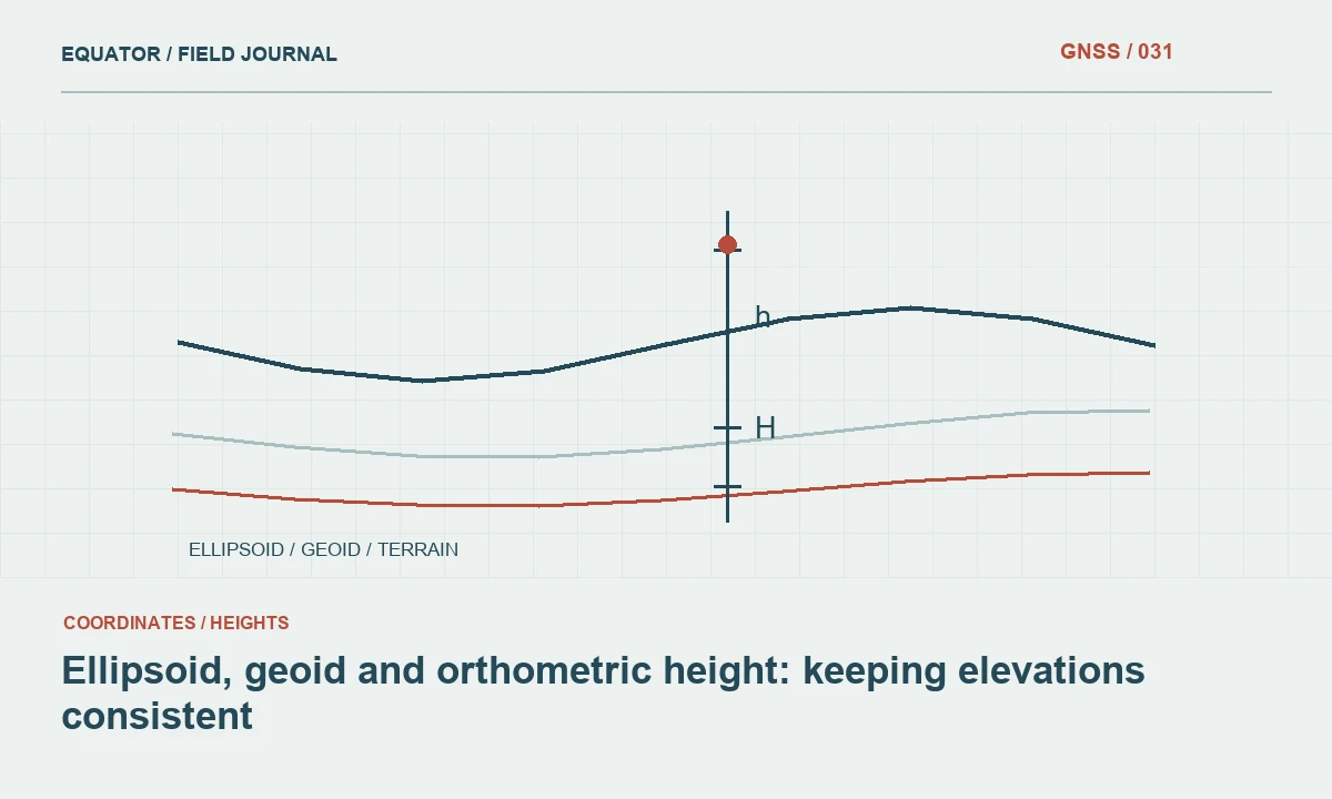
Continue learning Ellipsoid, geoid and orthometric height: keeping elevations consistent
Understand the source ellipsoidal heights
Record the GNSS reference frame, realisation and coordinate epoch where relevant. Confirm antenna height handling and the physical target represented by the coordinates. A geoid operation cannot correct a mistaken base coordinate, pole height or point identity. Those observation components should be checked before the model is blamed for an elevation discrepancy.
Keep original ellipsoidal heights available separately from derived elevations. This allows a later review or model update without losing the source evidence. If a service or controller already applies a vertical operation, identify it explicitly. Applying another model to an already transformed height can produce an error while every file still appears to contain a plausible elevation value.
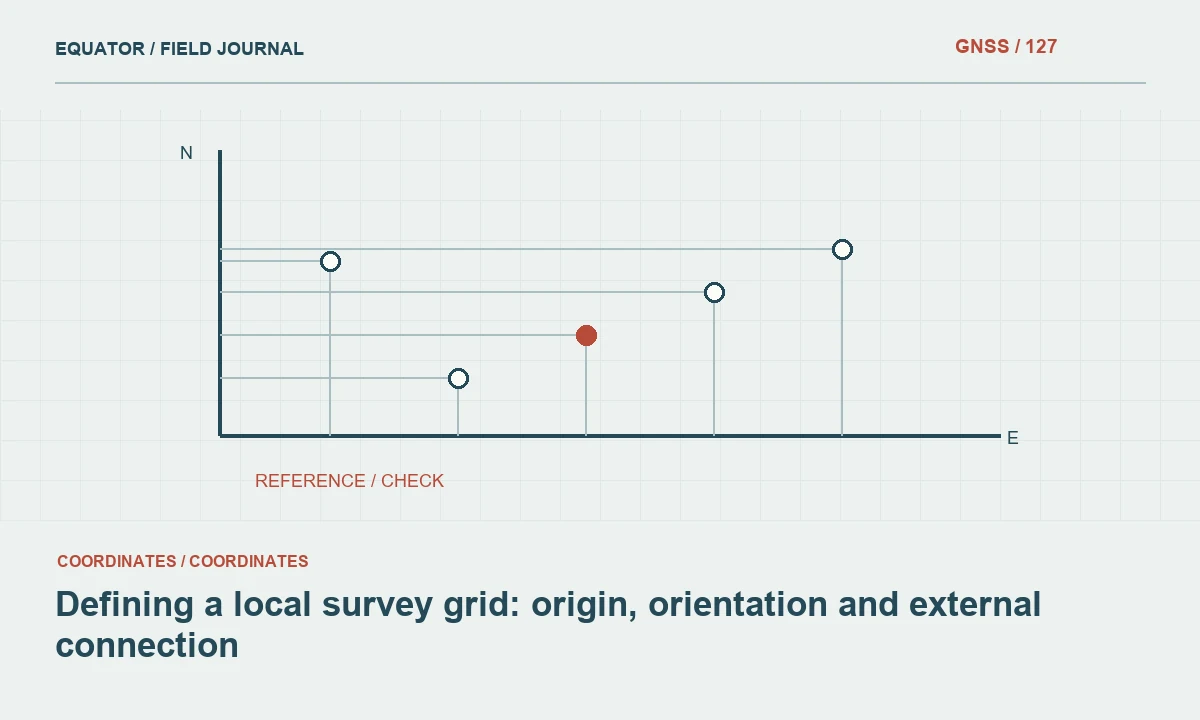
Continue learning Defining a local survey grid: origin, orientation and external connection
Review model compatibility and coverage
Read the official model documentation for its intended frame, vertical relationship, geographic coverage and limitations. Confirm that the project area lies within the supported region. Do not assume a model distributed by a well-known organisation is intended for worldwide use. For example, NGS models are documented for particular United States and territory reference relationships.
Record the model name and version, not only a generic label such as geoid file. Check the required input coordinate convention and units. If the software offers several similarly named grids, verify which one belongs to the approved workflow. A repeatable model selection is based on its documented purpose and compatibility rather than the convenience of an available file.
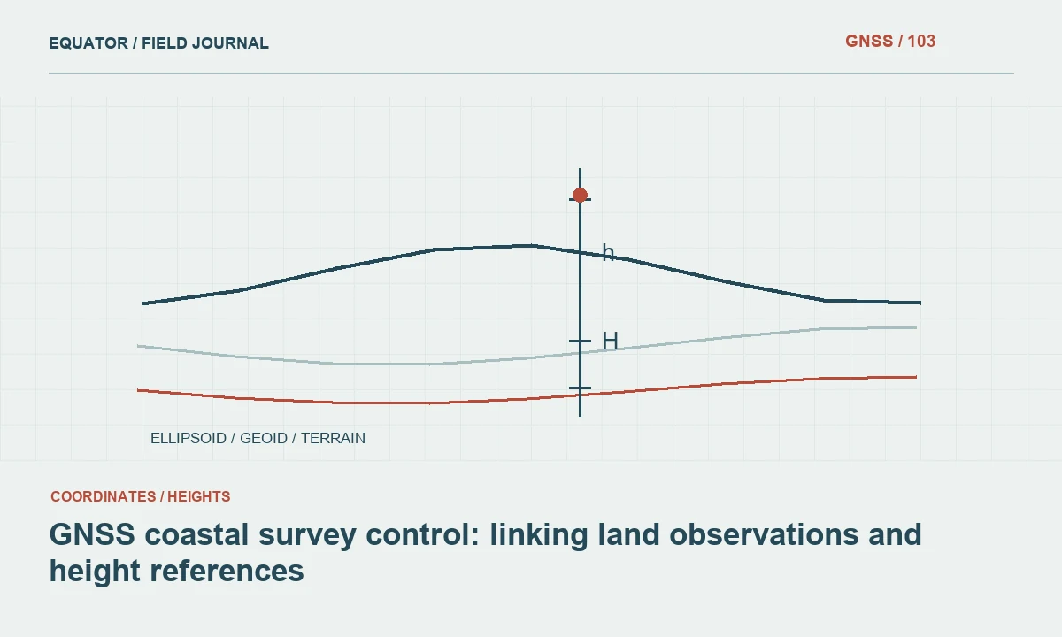
Continue learning GNSS coastal survey control: linking land observations and height references
Distinguish model conversion from local adjustment
A geoid-based height conversion and a local benchmark fit are different operations. A project may use both through an approved workflow, but their roles should remain visible. A constant offset or fitted surface can make local checks agree while concealing a broader reference incompatibility. Do not describe such an adjustment as though it were simply the published geoid model.
Document the control points, method, parameters and limits of any local adjustment. Reserve independent checks where required. Preserve the unadjusted model-derived values as part of the processing history. This lets a later team understand whether a delivered elevation reflects the published model, a local project relationship or a combination of both.
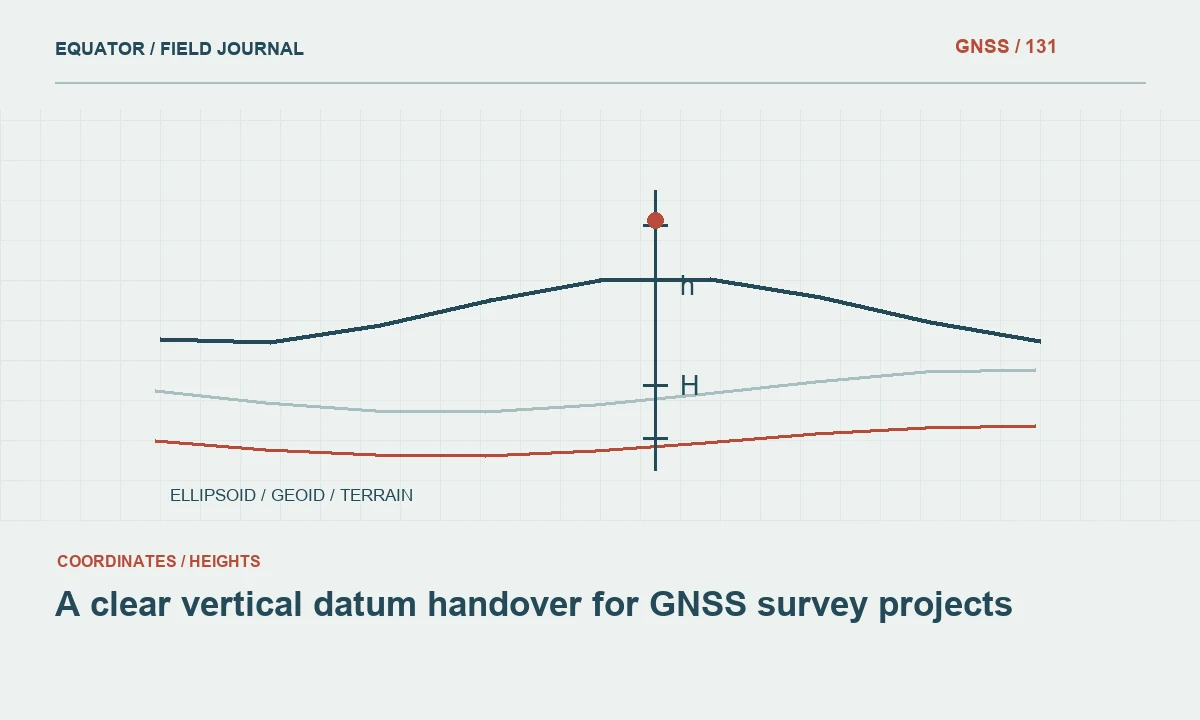
Continue learning A clear vertical datum handover for GNSS survey projects

Test with suitable independent benchmarks
Use benchmarks whose identity, stability and reference are appropriate to the project. Compare several locations where practical to assess whether differences are systematic or spatially variable. Follow the project’s approved assessment method and criteria. A single benchmark may reveal a problem, but it cannot establish every aspect of a model’s suitability across an extended area.
Investigate discrepancies through antenna height, GNSS processing, benchmark status and reference definitions. Keep rejected checks and the reasons for exclusion. Do not choose a model solely because it makes one benchmark match most closely. The selected workflow should be compatible with the intended reference and supported by the wider evidence.
Continue learning Ellipsoid, geoid and orthometric height: keeping elevations consistent
Configure field and office software consistently
Install the approved model through supported software procedures and record its version. Test representative points in the controller and office processing workflow. Confirm the direction and sequence of the operation and whether the software expects ellipsoidal height as input. Similar menu labels do not prove that two applications apply identical settings.
Keep a small test dataset with expected intermediate and final values. Use it after software changes, model replacement or a new device setup. Avoid distributing a model file without the configuration and reference information needed to use it. Consistency across systems prevents the same observation from receiving different elevations depending on which workstation processed it.
Continue learning Defining a local survey grid: origin, orientation and external connection
Manage model updates as project changes
A new model release does not automatically justify silently changing an active project’s elevations. Review compatibility, benefits and effects with the responsible project role. Compare representative points and identify affected products. Preserve the previous model and release history so older drawings and surveys remain interpretable.
If the update is adopted, issue coherent revised datasets and document the effective version. Do not mix elevations from different model workflows in one accepted surface without identifying the relationship. A controlled update process is especially important when repeated surveys are used to assess change, because a reference change can otherwise look like physical movement.
Continue learning GNSS coastal survey control: linking land observations and height references
Deliver model provenance with elevations
Provide the source height reference, model name and version, software operation, local adjustments and independent check results. State the area and use limitations. Include clear field names and units in exported tables. A recipient should be able to identify which model produced an elevation without relying on the original controller job file alone.
Archive original heights and the model configuration used for release. A dependable geoid workflow connects an observed geometric height to a defined vertical reference through a documented and tested operation. The model is one part of that chain. Its usefulness depends on compatibility and evidence, not simply on a claim of high resolution or recent publication.
Continue learning A clear vertical datum handover for GNSS survey projects
Compare two available model files carefully
Suppose a controller contains two geoid files covering the same site. Do not select the one that produces the most familiar elevation without reading their definitions. They may relate different source frames or vertical datums, or one may include a local adjustment. Compare official documentation, filenames, versions and test-point results through the approved project workflow.
Record why the chosen model is appropriate and remove obsolete options from active use through the agreed configuration process. Preserve them in the archive when needed to interpret older work. A clear selection note prevents future crews from repeating the same uncertainty and helps distinguish a model change from an actual change in the surveyed ground.
When retiring an option from active use, record which historical jobs depended on it and retain a protected copy where the archive requires reproducibility. Removing a model from a controller menu can reduce future confusion, but deleting every copy may make earlier elevations difficult to investigate. Keep the model source and licensing or distribution information with the archive as appropriate. The configuration process should make the approved choice easy for field crews while preserving enough history for a survey reviewer to understand older releases.
Continue learning Ellipsoid, geoid and orthometric height: keeping elevations consistent
Practical checklist
- Identify source and target height references before selecting a model.
- Verify coverage, compatibility and model version.
- Test independently and control model updates across the project.
Plan your GNSS setup
Compare the EQ10 and EQ20 receiver specifications, then discuss the configuration and support your project needs.
Compare GNSS receivers