A clear vertical datum handover for GNSS survey projects
Deliver elevations with the definitions, benchmark evidence and transformation history needed to prevent incompatible height values from being mixed.
Define the delivered elevation in plain terms
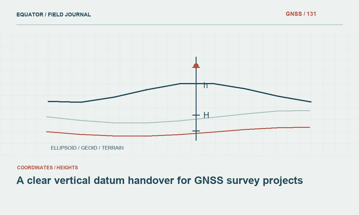
A vertical handover should state what the height values mean, which physical points they describe and the reference to which they belong. Labels such as elevation, reduced level or above sea level are not complete definitions. Identify whether the values are ellipsoidal heights, orthometric heights, another official height type or local engineering levels.
State the intended use and responsible project reference. A dataset suitable for one project may not be directly comparable with a coastal water-level record or a neighbouring construction package. The handover should make that limitation understandable. Clear definitions prevent downstream users from treating every third-coordinate value as interchangeable merely because the numbers are expressed in metres.
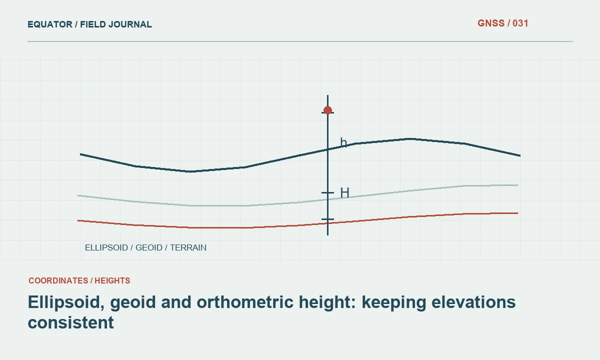
Continue learning Ellipsoid, geoid and orthometric height: keeping elevations consistent
Preserve the source-to-delivery height chain
Document the original GNSS height reference and antenna height handling. Record the geoid or vertical transformation model, software operation and any local adjustment used to derive delivered elevations. Include versions and relevant coordinate epoch information. A final numeric field alone does not explain whether an operation was omitted, applied twice or based on an incompatible source.
Keep original ellipsoidal heights or a traceable source record where relevant. This allows future reference changes to be handled without losing observation evidence. If the source data came from another party, preserve their metadata and identify unresolved questions. Do not replace an uncertain definition with a confident label simply to complete the delivery template.
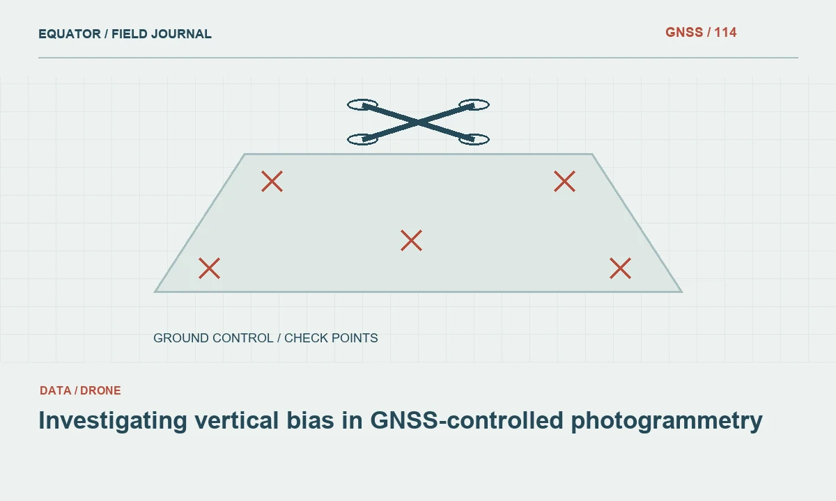
Continue learning Investigating vertical bias in GNSS-controlled photogrammetry
Describe benchmarks and their status
Provide benchmark identifiers, coordinates or locations, descriptions and the reference information used by the project. Record how each mark was identified and whether its stability was checked. A number copied from an old drawing may not be equivalent to an approved benchmark record. Distinguish primary reference marks from temporary working levels.
Include photographs or sketches where they aid recovery. Record damaged, inaccessible or superseded marks in a status register. A future crew should know which benchmarks remain suitable and which need investigation. The ability to recover the correct physical mark is part of the vertical reference chain, not an optional convenience after the coordinates have been delivered.
Continue learning Planning GNSS surveys for irrigation channels
Report independent checks and discrepancies
Summarise the checks performed against suitable vertical control, using the project’s approved method and criteria. Provide the underlying differences where useful, not only a statement that the survey passed. Identify excluded checks and explain why they were excluded. Keep observation methods and reference definitions available so the assessment can be reproduced.
Investigate discrepancies before adopting a correction. Antenna height mistakes, benchmark identity, model compatibility and local surface definition can all matter. If a local adjustment is approved, document its basis, parameters and limits separately from the published model. An unexplained offset in the final table leaves later users unable to judge whether it should be carried into another work area.
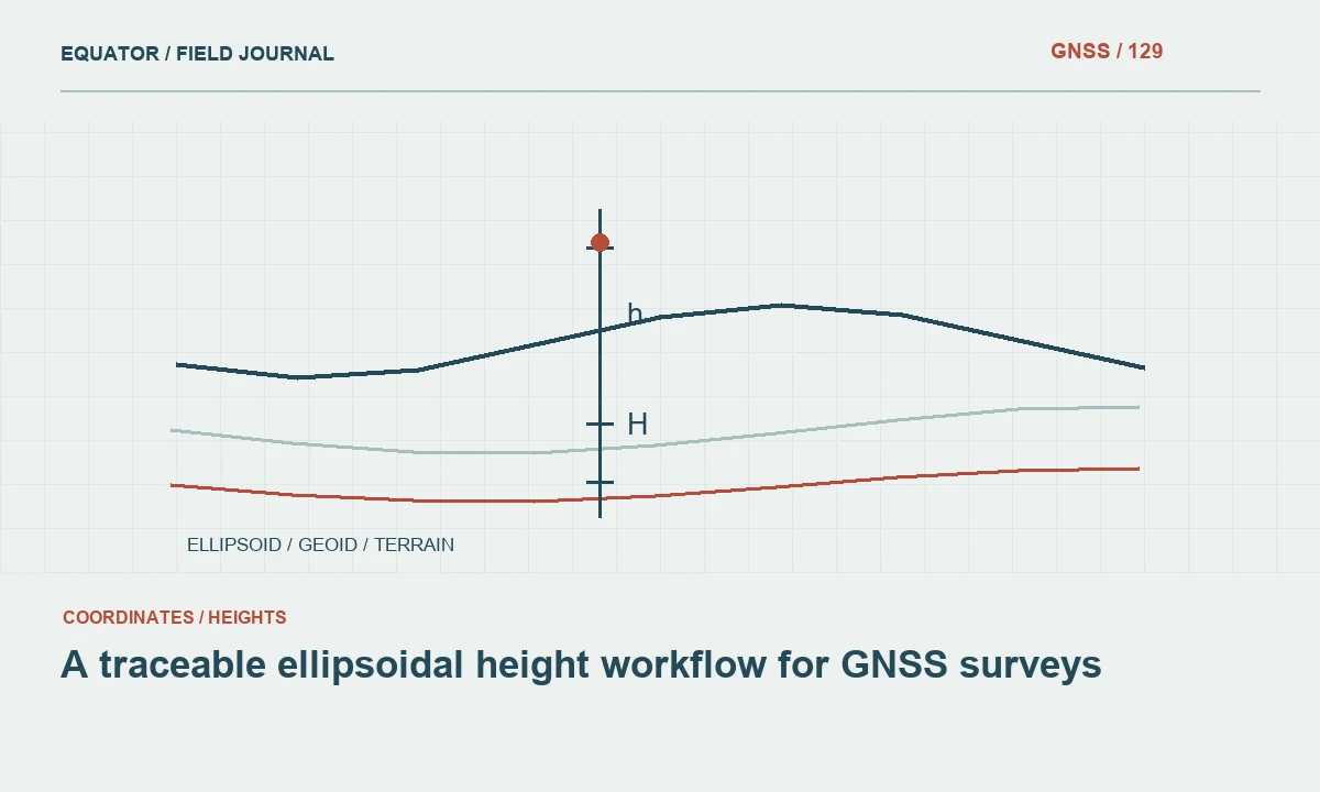
Continue learning A traceable ellipsoidal height workflow for GNSS surveys

Make height fields and units unambiguous
Use descriptive field names and a data dictionary. Distinguish original ellipsoidal height, derived project elevation and any observed water level or feature-specific depth. State units and sign conventions. A missing height should not be represented by zero unless zero is genuinely the measured or adopted value. Unknown, not observed and not applicable may require different status handling.
Test the receiving format’s treatment of third coordinates and elevation attributes. A CAD drawing, CSV table and web exchange file may preserve or interpret height differently. If the format cannot carry the complete vertical reference, provide a companion note. The handover should remain understandable after it leaves the authoring software and its hidden job settings.
Continue learning Ellipsoid, geoid and orthometric height: keeping elevations consistent
Keep surfaces and structure levels distinct
A terrain point, pavement surface, cover level and pipe invert describe different physical features. Preserve their codes and definitions through export. Combining them indiscriminately into a terrain model can create an incorrect surface even when all coordinates share the same vertical datum. Reference compatibility and physical feature meaning are separate checks.
Document how inaccessible or inferred levels were obtained. Do not present a record-derived pipe level as a direct GNSS observation. Use provenance fields or separate layers where needed. A receiving engineer should be able to identify which values were measured, derived through a defined relationship or carried from another source.
Continue learning Investigating vertical bias in GNSS-controlled photogrammetry
Control revisions across project teams
Assign a release version to the vertical reference package and identify the effective date. If a benchmark, model or adjustment changes, state which datasets and drawings are affected. Preserve earlier versions for interpreting previous work. Quietly replacing elevations in a shared file can leave contractors using incompatible levels without recognising the source of their disagreement.
Distribute revised points, linework and surfaces coherently. Include a change note and a small set of test values. Confirm the new package in the actual receiving workflow. A vertical update is a project information change that needs consistent implementation, not only a revised value in one controller.
Continue learning Planning GNSS surveys for irrigation channels
Deliver a package that can be verified
Include the vertical definition, source heights, transformation history, benchmark schedule, check results, units, feature codes and limitations. Provide representative examples showing how a source observation becomes a delivered elevation. Keep the original field and processing evidence in the archive. Another qualified surveyor should be able to understand the workflow without guessing from coordinate magnitudes.
Review the package with the receiving team before final issue, especially where local levels or specialised references are involved. A dependable vertical handover connects numbers to physical marks, documented operations and independent evidence. That connection is what allows elevations to be used consistently across design, construction, mapping and future surveys.
Continue learning A traceable ellipsoidal height workflow for GNSS surveys
Prevent a water-level comparison error
Suppose a terrain dataset is compared with a gauge record whose zero is a local reference. Matching units do not establish a common datum. Obtain the documented relationship between the gauge zero and the project’s vertical reference, including its source and validity. Do not subtract the two values directly and call the result a reliable water depth without resolving that relationship.
Keep the gauge observations, terrain elevations and reference operation distinguishable in the analysis package. If the relationship remains uncertain, report that limitation and identify the needed follow-up. This preserves a useful dataset while preventing an unsupported vertical comparison. The same discipline applies whenever GNSS-derived elevations meet records from another measurement system or historical project.
Include the approved reference relationship in a short worked comparison showing the gauge value, the relevant datum connection and the terrain elevation. State the units and sign convention for the derived quantity. This helps the receiving team verify the operation without assuming a particular interpretation of above or below. Keep the original gauge and terrain records unchanged. A transparent calculation chain makes later updates possible when better reference evidence becomes available and prevents an interim assumption from being mistaken for a permanent datum definition.
Continue learning Ellipsoid, geoid and orthometric height: keeping elevations consistent
Practical checklist
- Define the height type, physical feature and units explicitly.
- Include benchmark status and the full transformation history.
- Version vertical reference changes across all related products.
Plan your GNSS setup
Compare the EQ10 and EQ20 receiver specifications, then discuss the configuration and support your project needs.
Compare GNSS receivers