A traceable ellipsoidal height workflow for GNSS surveys
Keep antenna measurements, reference definitions and height transformations connected before delivering elevations to engineering or GIS users.
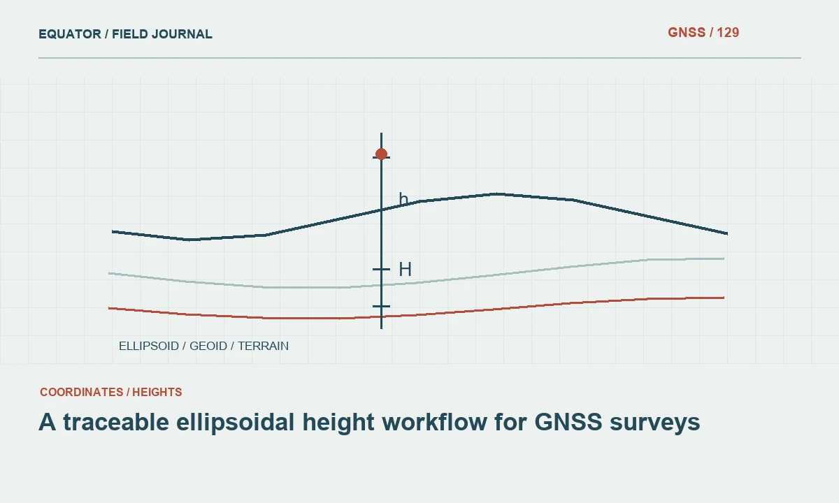
Identify the height GNSS has determined
GNSS positioning commonly produces ellipsoidal height relative to a defined reference ellipsoid and geodetic frame. This is a geometric height, not automatically an engineering level or an orthometric height. Begin by identifying the actual output of the equipment and processing workflow. A column named altitude or elevation may depend on settings that are not visible in a simple coordinate export.
Record the reference frame, realisation and coordinate epoch where relevant. Confirm whether the value refers to the antenna reference point or an observed ground target after applying antenna height. These distinctions determine how the number can be used. A height with many decimal places is still ambiguous if its reference and physical point are not defined.
Continue learning Ellipsoid, geoid and orthometric height: keeping elevations consistent
Preserve antenna reference point and height evidence
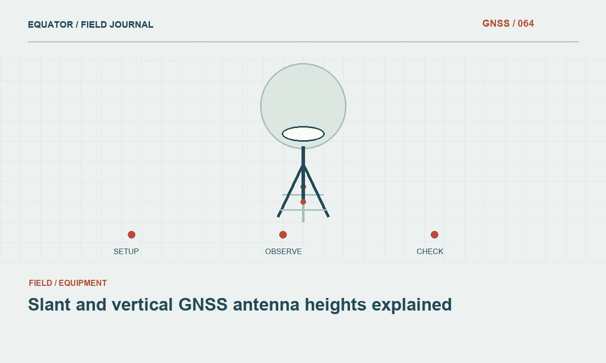
Document the antenna type, reference point and the method used to measure its height above the target. Slant and vertical height conventions are different and must follow the equipment’s supported workflow. Record units and the measured value before any reduction. Do not assume that a field named antenna height has the same meaning across every receiver and processing package.
Check pole and setup conditions, including whether the tip rests on the intended surface. A stable antenna position does not establish a correct ground height when the pole sinks into soft material or rests on vegetation. Preserve photographs or notes for unusual setups. The final height should remain traceable to a defined physical target and measurement arrangement.
Continue learning A clear vertical datum handover for GNSS survey projects
Confirm base and correction reference information
For relative or corrected positioning, review the reference of the adopted base or service. The resulting rover coordinates depend on that relationship. Keep the base coordinate source, antenna metadata and relevant service information with the job. A precise relative solution can inherit an incorrect height reference or antenna convention from its reference setup.
Use suitable control checks and repeated independent measurements according to the project plan. Evaluate the local GNSS environment as well as receiver indicators. A fixed RTK status is useful but does not prove that the base coordinate, antenna height or target definition is correct. Those parts of the height workflow need their own evidence and checks.
Continue learning Validating CSV coordinate imports from GNSS surveys
Separate ellipsoidal height from derived elevation
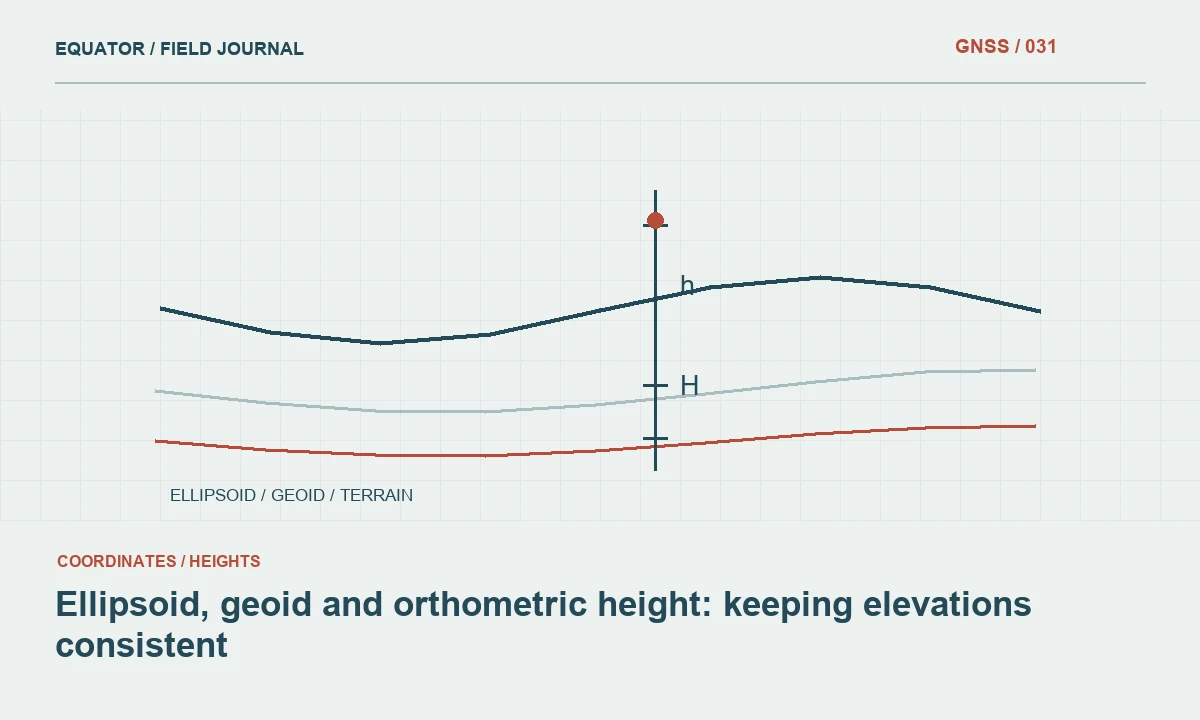
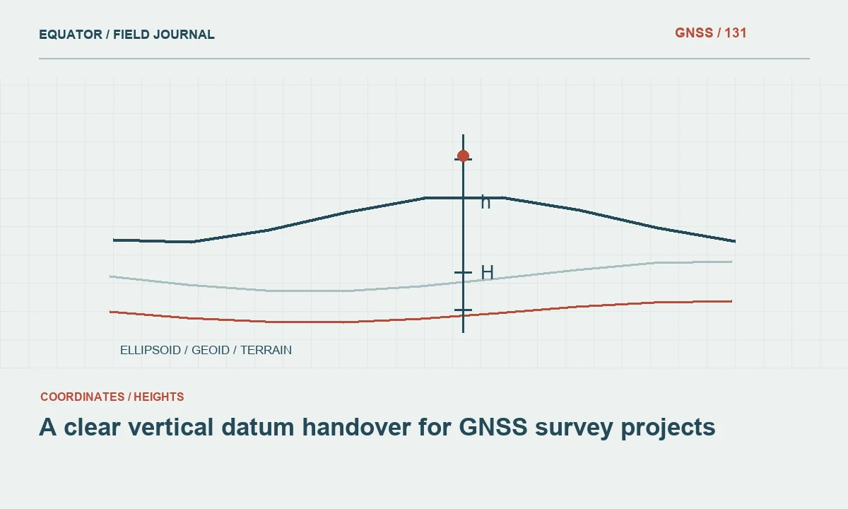
When another height system is required, preserve the original ellipsoidal height and document the operation used to derive the delivered value. The familiar relationship between ellipsoidal height, orthometric height and geoid height is useful only when the references and model conventions are compatible. Do not apply a geoid value from an unrelated frame or region without checking its suitability.
Record the model name, version, area of use and software settings. A local benchmark adjustment should be identified separately from a geoid conversion. Keep intermediate values where they support reproducibility. This allows a later reviewer to determine whether a difference arose in the original GNSS observation or in the transformation to the requested engineering elevation.
Continue learning Slant and vertical GNSS antenna heights explained

Check vertical control independently
Compare derived elevations with suitable independent benchmarks through the project’s approved method. Confirm mark identity, status and published reference before using them. A damaged or misidentified benchmark can mislead the assessment. More than one check can help distinguish a local mark problem from a systematic reference or processing issue.
Examine the pattern of differences and investigate before applying a constant correction. Antenna height mistakes, wrong models and incompatible references can produce different causes with similar numerical symptoms. Preserve original observations and record the diagnosis. A correction is most useful when its reason, scope and effect are documented rather than hidden in a final elevation column.
Continue learning Ellipsoid, geoid and orthometric height: keeping elevations consistent
Control height fields through data exchange
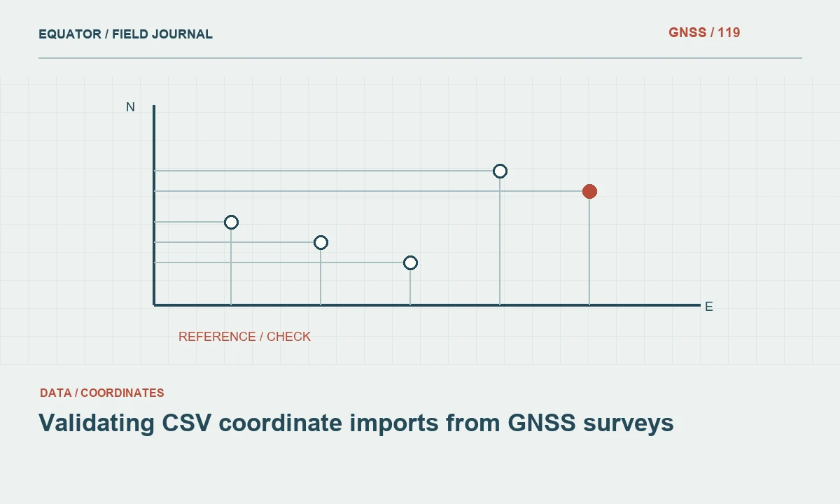
Give exported height fields descriptive names and metadata. Distinguish ellipsoidal height from project elevation and state units. Keep unknown values separate from zero. If the delivery uses a three-dimensional geometry, confirm what the receiving format and application expect in the third coordinate. Not every consumer interprets an extra number as the project’s intended vertical system.
Test a sample through the actual receiving workflow. Compare source and exported values, identifiers and reference information. A conversion to CSV, CAD or a web format may preserve the number while losing its definition. Include a companion data dictionary when the format cannot carry the full vertical metadata reliably.
Continue learning A clear vertical datum handover for GNSS survey projects
Review the complete source-to-release sequence
Trace representative points from field measurement through processing and transformation to the final file. Confirm that antenna height and geoid operations were applied once in the intended direction. Check units at each stage. A double conversion can remain hidden when every intermediate file simply calls its height field elevation.
Keep processing versions and settings with the released dataset. If a model or reference changes, create a new derived release and preserve the previous one. Do not overwrite the only ellipsoidal-height record. A reproducible sequence makes it possible to update the requested elevation system later without pretending that the original satellite observations have changed.
Continue learning Validating CSV coordinate imports from GNSS surveys
Deliver a height record another surveyor can interpret
Provide the physical target definition, antenna setup, reference frame, epoch where relevant, correction method and transformation history. Include independent checks and limitations. Explain which height field is authoritative for the intended use. The recipient should not have to reverse-engineer controller settings to understand whether a value is suitable for design or comparison with a benchmark.
Archive raw observations where available and preserve the original exported coordinates. Reliable GNSS height work is a chain of definitions and measured relationships. Its quality depends on the reference, antenna setup, physical surface and transformation working together, not only on the precision reported by the receiver.
Continue learning Slant and vertical GNSS antenna heights explained
Investigate a constant pole-height discrepancy
Suppose all derived ground heights differ from a checked benchmark by roughly the amount associated with an equipment setup change. Review the antenna height records and the physical reference point used by the receiver before changing the geoid model. A mistaken pole height can affect every point in a session while leaving horizontal positions apparently satisfactory.
Confirm the cause with original notes, setup records and independent checks. If an approved correction is possible, apply it consistently to the affected observations and document the release. If the evidence is insufficient, repeat the necessary measurements or qualify the data. This example shows why preserving the original antenna height value and convention is more useful than retaining only the final elevation output.
Review whether the same antenna setup convention was used for every observation in the affected session. A pole extension or receiver mounting change may divide the data into distinct groups. Apply any approved correction only to the supported records, and preserve the grouping in the processing history. If the time of the change is uncertain, state that limitation. A single blanket adjustment can otherwise repair one group while damaging another, which is why field setup notes and observation timestamps remain important even in an automated positioning workflow.
Continue learning Ellipsoid, geoid and orthometric height: keeping elevations consistent
Practical checklist
- Record the antenna reference point and measured height convention.
- Preserve ellipsoidal heights before deriving project elevations.
- Trace sample points through every transformation and export.
Plan your GNSS setup
Compare the EQ10 and EQ20 receiver specifications, then discuss the configuration and support your project needs.
Compare GNSS receivers