Practical GNSS training exercises for survey crews
Training is most effective when crews practice setup, independent checks, diagnosis and handover using representative field situations.
Train the measurement process rather than button sequences
A crew can learn which button stores a point without understanding when the point is suitable for the project. Build training around the complete measurement process: identify the feature, verify configuration, establish a sound setup, collect observations, perform checks and preserve the evidence. Software navigation is part of that process, but it should not replace judgment about reference systems, antenna height or independent verification.
Start with the organization's approved method and equipment. Define observable learning outcomes, such as recognizing an incompatible height convention or preparing a traceable repeat occupation. Use controlled exercises on suitable training sites with known reference information. Avoid deliberately creating unsafe conditions or interfering with shared services. The purpose is to expose common workflow weaknesses in a setting where mistakes can be discussed and corrected constructively.
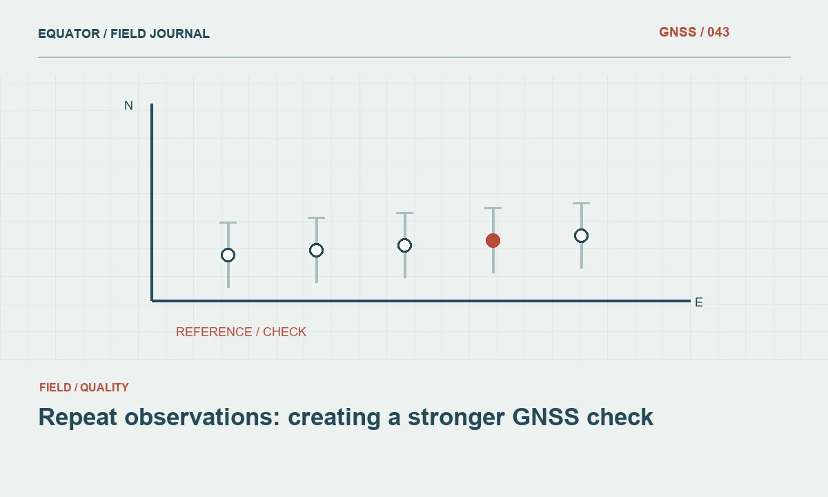
Continue learning Repeat observations: creating a stronger GNSS check
Exercise one: identify the physical point
Give participants several clearly described features and ask them to explain exactly what their coordinate represents. Compare a monument center, top of a cap, ground surface and an offset feature. Discuss how photographs, sketches and codes preserve those definitions. A precise satellite solution is not useful if the feature identity is ambiguous, so this exercise establishes the connection between measurement and the physical object before technical settings are introduced.
Ask a second operator to recover each feature from the first operator's record. Note where the description is insufficient. This tests handover quality directly and shows why stable point identifiers matter. The review should focus on whether the coordinate can be interpreted and repeated, rather than rewarding the fastest collection time or the largest number of stored points.
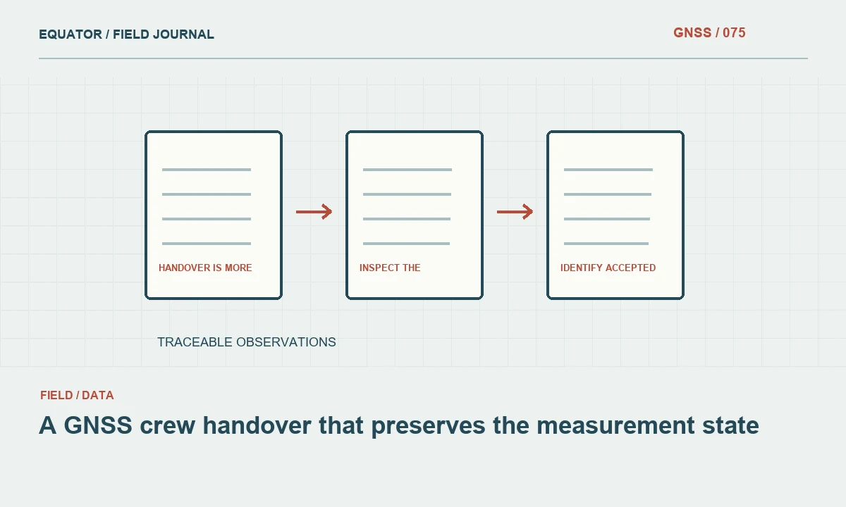
Continue learning A GNSS crew handover that preserves the measurement state
Exercise two: verify antenna height and setup
Have crews identify the antenna reference point and the approved height measurement method for the actual equipment. Record original measurements, units and any required reduction. Remake the setup and compare records. Discuss the difference between a field measurement and a value displayed by software, including how an incorrect assumption can persist through many otherwise consistent observations.
Use a controlled example of a documented transcription error in a training copy, then ask participants to trace its effect and prepare a correction record. Do not alter production data. The exercise should show that correction requires evidence, not merely moving a coordinate toward an expected answer. Include centering, pole condition and stability checks so setup quality is treated as a routine discipline rather than an occasional specialist task.
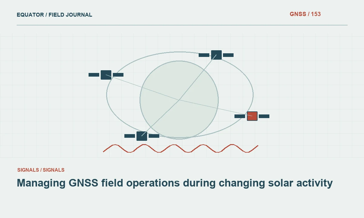
Continue learning Managing GNSS field operations during changing solar activity
Exercise three: compare repeatability and external agreement
At suitable control, collect short term repeated stores and a planned independent occupation with a remade setup. Preserve individual results and compare them with the reference in a compatible framework. Ask participants what each comparison tests and which dependencies remain common. This makes the distinction between consistency and external agreement concrete without requiring a lengthy statistics lecture.
Discuss horizontal and vertical components separately. A tight cluster can still share a base coordinate or height error. A reference comparison also has uncertainty and depends on correct mark identification. The goal is for operators to explain the evidence in plain language and avoid treating one small precision value as a complete statement about the coordinate.
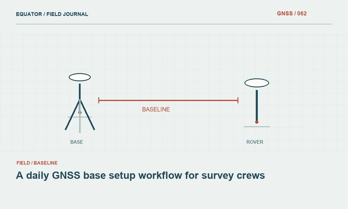
Continue learning A daily GNSS base setup workflow for survey crews

Exercise four: inspect a difficult environment
Compare observations at an appropriate open site and a nearby location with representative obstruction or reflection risk, using the approved training method. Record surroundings, solution behavior, repeats and independent checks. Do not assume that every difference is caused by multipath; ask crews to consider setup, corrections and configuration as well. The exercise teaches a systematic investigation rather than a memorized explanation for all poor results.
Ask participants to propose an alternative measurement chain for a feature that cannot be observed credibly by direct GNSS occupation. That may involve an open offset or another survey technique under the organization's method. Require a sketch and a clear statement of how the final coordinate relates to the intended feature. This reinforces that good survey work includes choosing an appropriate method, not forcing every task through one instrument.
Continue learning Repeat observations: creating a stronger GNSS check
Exercise five: diagnose an ordinary interruption
Use a controlled training scenario such as an unavailable test correction connection or a deliberately selected inactive account in a nonproduction environment. Ask the crew to distinguish communications, authentication, satellite reception and coordinate framework checks. The exercise should not disrupt real users or shared infrastructure. Record the sequence of diagnostic actions and whether the operator preserves useful evidence before changing settings.
Then practice the approved contingency plan. Verify that the alternative configuration uses a compatible framework and that control checks occur before collection resumes. The team should identify the last accepted point, the transition time and any provisional observations. This makes outage response a repeatable operational skill rather than an improvised attempt to obtain a green solution icon as quickly as possible.
Continue learning A GNSS crew handover that preserves the measurement state
Exercise six: prepare an office handover
Give the office reviewer a training dataset containing observations, setup records, photographs and a small number of clearly documented exceptions. Ask the field crew to prepare the normal handover package. The reviewer should be able to identify coordinate definitions, configuration changes, accepted points and items requiring review without a long verbal explanation. Record missing links and improve the forms or folder structure accordingly.
Include export behavior in the exercise. Confirm that point status, units, axis order and relevant quality information survive the chosen format. A workflow can appear sound on the controller while losing essential context in a spreadsheet. The training should connect field actions to downstream interpretation, helping operators understand why metadata and consistent naming are practical quality controls rather than office bureaucracy.
Continue learning Managing GNSS field operations during changing solar activity
Assess decisions with clear criteria
Use a checklist tied to the approved method and give feedback on specific actions. Recognizing an unresolved problem and escalating it appropriately can be a successful outcome. Do not reward participants for inventing a diagnosis or accepting weak evidence merely to finish the exercise. The assessment should encourage honest reporting, controlled corrections and appropriate use of alternatives.
Retain a concise training record showing equipment, procedure, exercises and demonstrated competencies. Identify follow up needs and reassess when software, correction services or project methods change. A single attendance certificate does not establish that every operator can handle a new workflow. Practical demonstrations provide more useful evidence of readiness and reveal where the organization needs clearer procedures or better tools.
Continue learning A daily GNSS base setup workflow for survey crews
Turn lessons into everyday practice
After training, update approved checklists, templates and examples with the lessons that matter operationally. Keep the procedures concise enough for field use and preserve detailed guidance for review. Encourage crews to report recurring ambiguity in settings or forms. Training is most effective when the production workflow supports the same habits practiced during the exercise.
A strong GNSS training program develops judgment alongside equipment fluency. It teaches crews to define the measured feature, verify the framework, protect setup quality, interpret checks and hand over traceable evidence. Those skills improve reliability across different receivers and sites because they address the complete measurement process rather than a particular sequence of buttons.
Continue learning Repeat observations: creating a stronger GNSS check
Practical checklist
- Train the measurement process rather than button sequences.
- Assess decisions with clear criteria.
- Turn lessons into everyday practice.
Plan your GNSS setup
Compare the EQ10 and EQ20 receiver specifications, then discuss the configuration and support your project needs.
Compare GNSS receivers