Recording drainage assets with GNSS and clear field evidence
Connect surface coordinates, observed levels and asset attributes without implying that unseen underground geometry was measured.
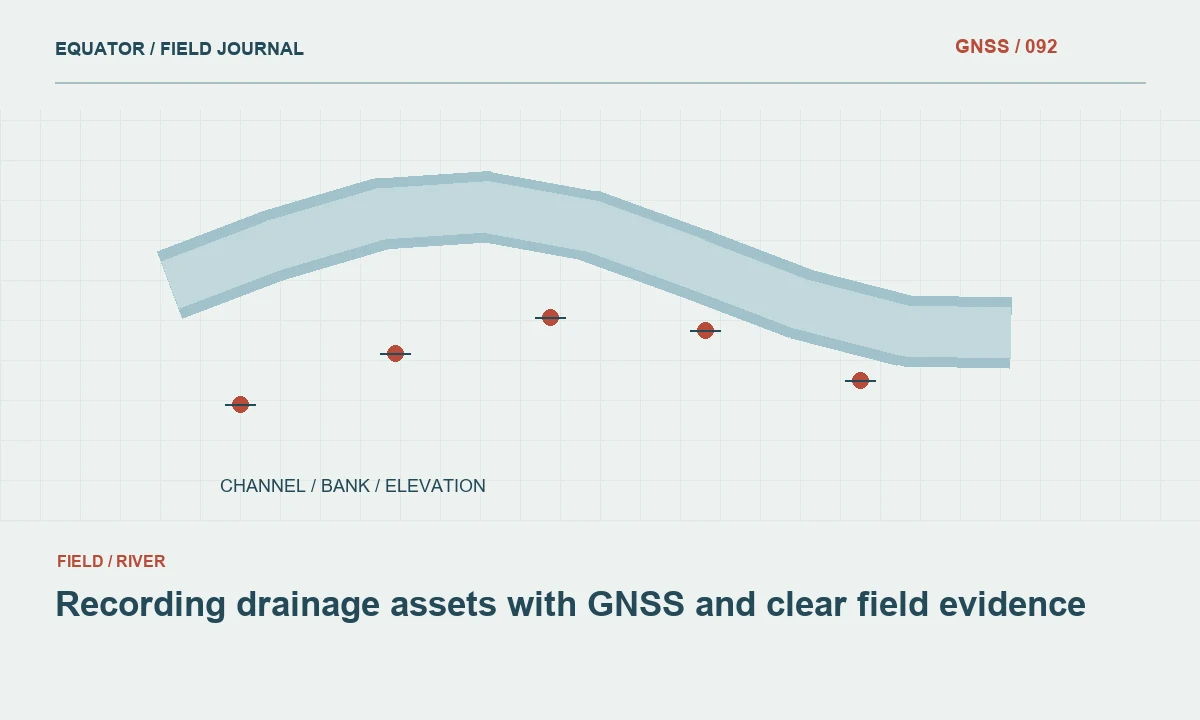
Define the asset record before collection
A drainage asset survey can include covers, inlets, outlets, headwalls and channel connections. Define the coordinate point for each asset class and the attributes required by the receiving system. A cover centre and an accessible invert describe different physical locations and heights. The crew needs clear instructions so one operator does not record an edge while another uses a centre under the same feature code.
Separate location evidence from asset interpretation. A surface observation can establish where a visible feature is located, but it does not automatically reveal buried dimensions, connectivity or condition. Design fields that distinguish direct observations, supplied records and unknown values. This keeps a precise GNSS coordinate from lending unintended confidence to information that was not actually measured or verified during the project.
Continue learning Topographic GNSS surveys: collecting more than isolated points
Use a consistent reference foundation
Confirm the horizontal coordinate system, units and height definition before fieldwork. Record the control and correction sources and any local transformation. Preserve antenna height conventions and setup records. If the project includes height dependent analysis, verify the vertical reference and geoid workflow separately. A dataset can appear correct on a base map while its level fields use a different reference from the design or asset system.
Distribute independent checks through the work area and preserve the results. Distinguish transformation fitting points from validation points. If several crews or reference setups are used, plan overlap checks and document work zone boundaries. A merged asset inventory should not hide an unexplained offset between neighbourhoods simply because each crew obtained fixed solutions within its own job file.
Continue learning GNSS utility asset mapping: position, identity and evidence
Build a practical feature dictionary
Use controlled asset classes, attribute names and units. Include explicit unknown and not observed states where appropriate. A mandatory numeric field should not force the crew to enter zero for an unmeasured dimension, because later software may interpret that value as a real observation. Define the source of each attribute and allow notes for exceptional context without making free text the only place where important uncertainty is preserved.
Test the dictionary in the actual controller and destination system. Check field lengths, allowed values, identifiers and local characters. If photographs are required, verify their linkage to the asset key. A well designed schema can still lose meaning during export, so inspect representative records end to end. The trial should include an asset with incomplete observations to confirm that unknown information remains visibly unknown after import.
Continue learning Mapping water network assets with GNSS and reliable field records
Plan for urban observation conditions
Drainage assets often lie near buildings, trees, parked objects and other obstructions. Reconnoitre the work area and identify suitable open control for alternative connections. Test correction delivery along the route. Keep communications symptoms separate from satellite observation problems, since a street corner can affect both. A general network connection does not prove that timely usable corrections reach the rover at every asset location.
Use direct GNSS occupations where the approved procedure can be met. Preserve solution state, relevant diagnostics and physical point definition. If the target cannot be occupied under the intended geometry, use a checked alternative method and record the source measurements. Do not move the point to a convenient nearby surface and keep the original asset coordinate label without documenting the measured relationship to the actual feature.
Continue learning GNSS mapping for powerline corridors: control and field evidence
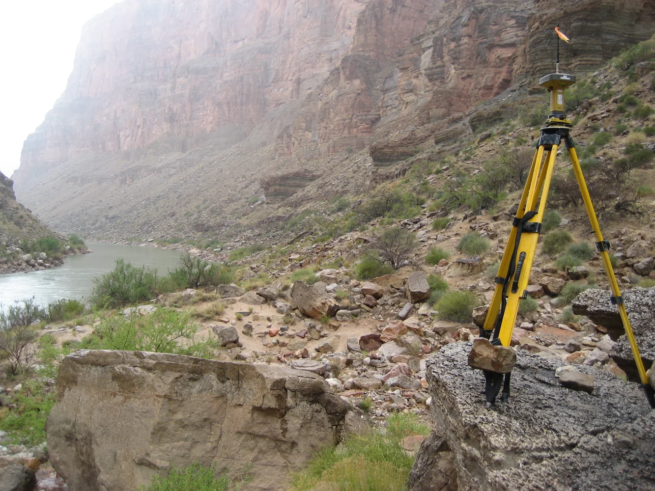
Record levels with precise meanings
Label every level by the physical feature observed: cover, rim, accessible invert, outlet or another defined point. Preserve the measurement method and any reduction used. If a level is derived from a measured depth and surface coordinate, retain the raw depth, reference point and calculation convention. A single generic height field can conceal important differences and make later comparisons misleading.
Do not infer unseen levels or dimensions solely from the surface position or a neighbouring asset. If external drawings supply information, keep the source and status distinct from field observations. Where another method measures inaccessible geometry, document its reference connection and checks. The final record should make it possible to tell which values were measured directly, calculated from observations, supplied by another source or left unresolved.
Continue learning Topographic GNSS surveys: collecting more than isolated points
Capture photographs that support interpretation
Take a close view of the defined coordinate point and a wider view showing the asset in its surroundings. Include labels or a log that links images to stable identifiers. Photographs can help the office distinguish similar covers, understand an offset measurement and recover a feature later. They do not replace the coordinate checks or establish buried connectivity that is not visible in the image.
Record observation time and the camera time convention where it matters to the project. Preserve original files and keep later annotations distinguishable. If several assets appear in one photograph, identify the intended subject clearly. A plausible but wrong image association can be more misleading than a missing photograph, because it gives a reviewer apparent visual confirmation of a different feature. Check links during daily review rather than only at final handover.
Continue learning GNSS utility asset mapping: position, identity and evidence
Review connectivity and quality separately
Inspect asset coordinates, attributes and any network relationships in the destination system. A valid line geometry does not prove that two assets are connected underground. Preserve the evidence source for network links and distinguish observed connections from supplied or inferred relationships. Check that missing information has not been converted to a default that appears authoritative. This protects later users from assuming the inventory contains more verified knowledge than the survey obtained.
Review independent checks and difficult observations by work zone. Keep rejected points, replacements and unresolved assets identifiable. A project wide summary should not conceal a small group of features measured under substantially poorer or unverified conditions. If additional work is needed, provide exact identifiers, photographs and the question to resolve so the return visit can target the missing evidence efficiently.
Continue learning Mapping water network assets with GNSS and reliable field records
Deliver an asset inventory people can interpret
Include coordinate and height definitions, the feature dictionary, method boundaries and quality records. Preserve stable identifiers linking observations, images and final asset features. Identify unknown levels, unobserved dimensions and externally supplied attributes explicitly. The client should be able to decide how the inventory can be used without assuming that every field represents a direct and equally reliable measurement.
For example, an asset with a verified cover coordinate and an unobserved invert can still be a useful inventory record when the limitation is clear. Filling the invert with a guessed value would make the table look more complete while reducing its reliability. A good drainage GNSS survey preserves both location and meaning. It produces a coherent dataset whose measured facts, derived values and remaining questions can be traced to their actual evidence.
Keep asset identity separate from the observation identifier. One asset can have several surveyed levels, photographs and repeated occupations. A stable asset key links those records without forcing them to overwrite one another. Test this relationship in the destination system so a later maintenance visit can add evidence while preserving the original survey history.
Continue learning GNSS mapping for powerline corridors: control and field evidence
Practical checklist
- Define coordinate points and level types for each asset class.
- Keep unknown and supplied attributes distinct from field observations.
- Verify exports, photo links and the evidence behind network connections.
Plan your GNSS setup
Compare the EQ10 and EQ20 receiver specifications, then discuss the configuration and support your project needs.
Compare GNSS receivers