Planning GNSS surveys for irrigation channels
Preserve channel feature definitions and verified elevations so plan geometry and profiles can be interpreted consistently.
Define the channel observations
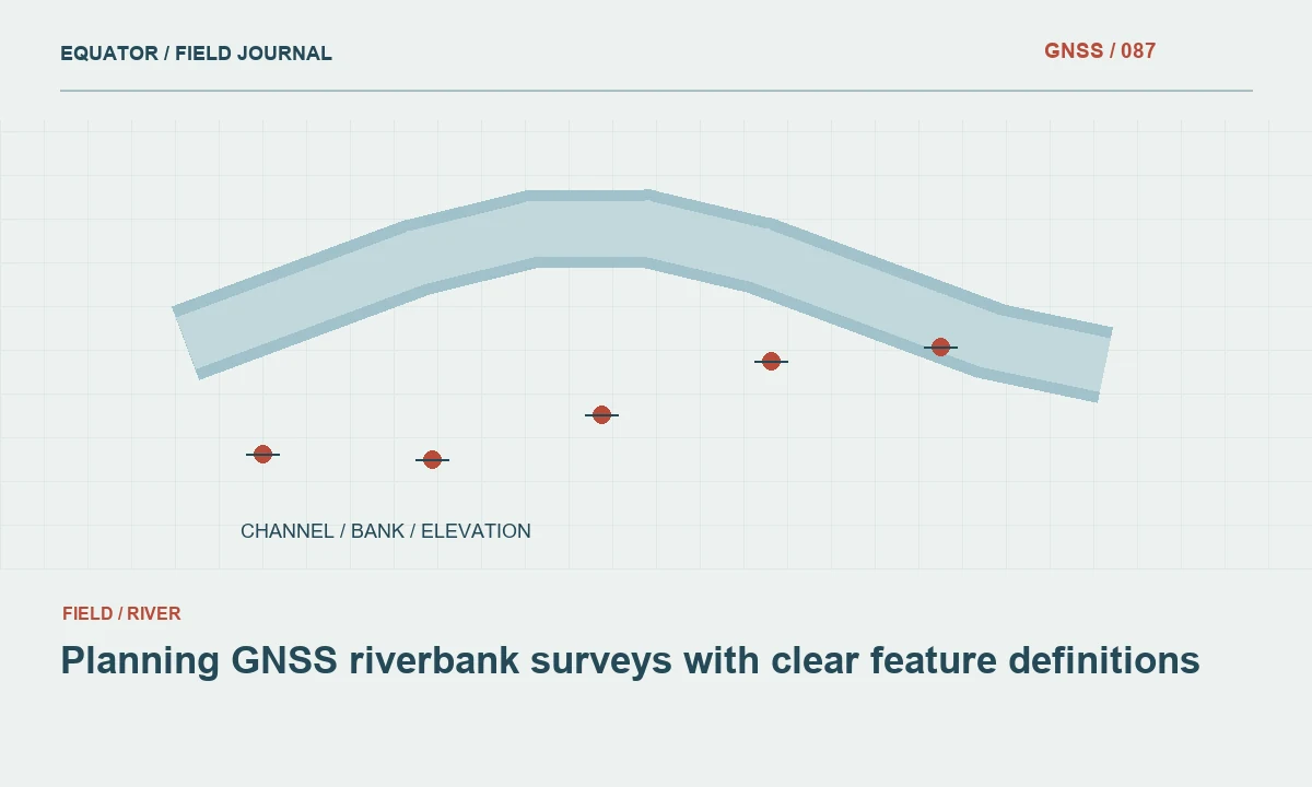
An irrigation channel survey may include bank tops, channel edges, accessible inverts, structures and adjacent terrain. Specify which features are required and how each should be observed. A line labelled channel does not explain whether it represents a centreline, bank edge or another physical reference. Use a field dictionary and sketches so crews collect comparable points along sections with different shapes and surface conditions.
Connect the observations to the intended deliverable. A general location map and a profile used for design require different evidence and detail. Define horizontal and vertical requirements separately, including the checks needed for heights. Avoid assuming that a dense plan line automatically supports meaningful gradient analysis. The elevations, feature definitions and reference connection must all be suitable for the purpose before derived profiles are treated as dependable information.
Continue learning Ellipsoid, geoid and orthometric height: keeping elevations consistent
Establish the vertical reference explicitly
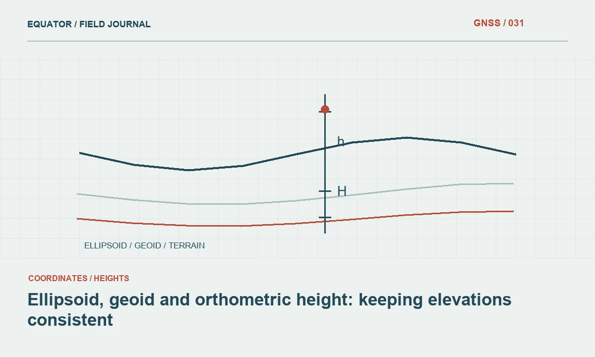
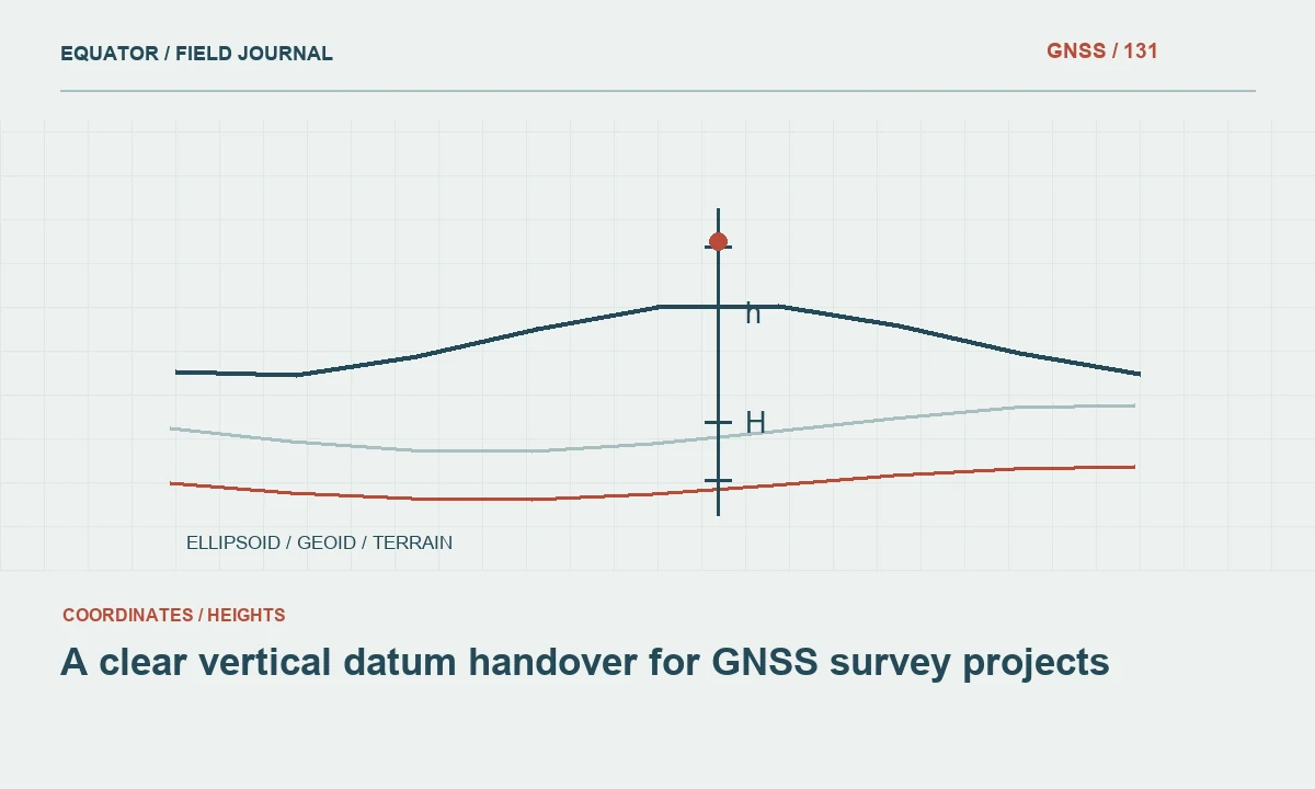
Confirm the height type, vertical reference and geoid workflow where applicable. Keep ellipsoidal and orthometric heights distinct. Record control sources and the method used to connect them to the survey. A common height offset can remain hidden in a visually plausible channel map, while a changing reference or transformation can create a false step in a profile. The metadata should make those possibilities testable.
Use suitable independent height checks distributed through the work. Preserve component differences and the observation method. A point used to define a local height adjustment is not a fully independent validation of that adjustment. Where the intended use needs stronger vertical evidence than the planned GNSS procedure can provide, use an approved complementary method and preserve its reference connection rather than overstating the capability of the original observations.
Continue learning Planning GNSS riverbank surveys with clear feature definitions
Plan the corridor reference arrangement
Map channel sections, control, correction sources and likely communications obstructions. Long, narrow projects may require multiple work zones. Record base coordinates, antenna setups and transitions, and plan common checks between zones. A reference move should not create an unexplained discontinuity in the channel profile. Confirm the relationship before combining production files, while the crew can still investigate a discrepancy at the relevant location.
Test correction delivery along the actual route. Valleys, vegetation, embankments and structures can affect the path. Inspect correction age separately from satellite observation conditions. If the crew uses a fallback method, identify its tested configuration and acceptance procedure. A convenient alternative connection is not automatically equivalent if it uses a different reference source or lacks the height definition required for the project.
Continue learning A clear vertical datum handover for GNSS survey projects
Observe physical features consistently
Collect points at relevant changes in direction, elevation and channel section according to the specification. Preserve breakline sequences and distinguish banks from inverts and structures. A smooth line joining points can conceal a missed change in geometry. Field notes and photographs help the office understand transitions that are not obvious from a coordinate table, especially where vegetation or construction makes the physical edge irregular.
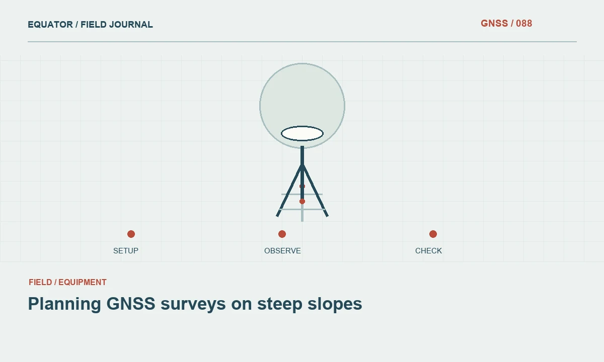
Maintain stable pole contact and the correct antenna geometry. Soft sediment or irregular surfaces can change the contact during an occupation. Record derived points and offsets with their measured relationship to the feature. Do not silently observe a nearby accessible bank point and label its height as an invert. The point definition must remain truthful even when the intended feature cannot be directly reached or seen under the approved field procedure.
Continue learning Planning GNSS surveys on steep slopes

Keep water and unobserved surfaces distinct
If water level or water edge observations are required, record their time and physical definition. Flowing or retained water can change during the survey, so those observations should not be mixed with fixed channel features without explanation. Use a consistent time convention across crews. This helps the office interpret whether differences between sections may reflect timing and conditions rather than a terrain or coordinate error.
Do not infer submerged channel geometry from surface GNSS observations alone. If a separate measurement method supplies underwater or inaccessible geometry, preserve its equipment, timing, reductions and reference connection. Keep areas with no measurement evidence marked as unobserved. An explicit gap is more useful than an invented invert that appears numerically complete and could later be used in an analysis without anyone recognizing that it was never measured.
Continue learning Ellipsoid, geoid and orthometric height: keeping elevations consistent
Check profiles before drawing conclusions
Inspect longitudinal and cross section views where the deliverable requires them. Look for abrupt changes, missing features and sequence errors. Investigate suspicious points against source observations, height checks and field context. Do not smooth a profile merely to make water appear to flow in an expected direction. A plausible shape is not a substitute for measurement evidence, and a genuine structure or terrain break should not be edited away for appearance.
When calculating gradients, use a documented distance and height interpretation and consider the evidence supporting the component values. A small difference between elevations can be sensitive to uncertainty and point definition. The project criteria should govern whether the observations support the intended decision. If the evidence is insufficient, collect appropriate additional measurements rather than presenting extra decimal places as though they resolve the underlying limitation.
Continue learning Planning GNSS riverbank surveys with clear feature definitions
Review structures and connectivity
Identify culverts, gates, junctions and other structures with stable identifiers and the required attributes. Distinguish directly observed dimensions from values supplied by drawings or another source. Check line connectivity in the destination GIS or CAD system. A geometry can import successfully while connecting the wrong channel branches or assigning a structure to an adjacent segment because the field sequence or identifiers were misinterpreted.
Review a sample early in the campaign and resolve coding questions with the crew. Maintain an exception register for inaccessible features and unresolved height differences. If another method later resolves an issue, preserve the original observation and accepted replacement. This creates a coherent evidence history and prevents office cleanup from hiding the conditions that made a particular channel section more uncertain than the rest.
Continue learning A clear vertical datum handover for GNSS survey projects
Deliver definitions alongside the channel model
Provide coordinate and height metadata, control sources, feature definitions, method boundaries and quality checks. Include observation dates for water related features and identify unobserved areas. Keep original points and breaklines with the approved profiles or surfaces. A user should be able to trace a derived channel model back to the measurements that support it rather than receiving only a finished line or smooth surface.
For example, a channel segment with surveyed bank tops but no observed invert should remain distinguishable from a segment with a verified invert profile. Combining both under one generic completeness claim would invite misuse. A useful GNSS irrigation survey preserves the relationship between physical features, elevations and evidence. That clarity supports later design or operational review more effectively than a visually complete dataset whose height meaning and observation limits are unclear.
Continue learning Planning GNSS surveys on steep slopes
Practical checklist
- Define banks, inverts, water observations and structures separately.
- Verify the vertical reference and work zone transitions.
- Investigate profiles against evidence and preserve unobserved geometry as unknown.
Plan your GNSS setup
Compare the EQ10 and EQ20 receiver specifications, then discuss the configuration and support your project needs.
Compare GNSS receivers