GNSS utility asset mapping: position, identity and evidence
Connect utility observations to stable asset identifiers, useful attributes and honest records of what was visible or inferred.
Define the asset rather than only its coordinate
Utility mapping is useful when a position is connected to the correct physical object and its operational meaning. Begin with an asset catalogue covering the features the team must record, such as inspection covers, cabinets, poles or service markers. Define the observation point for each type. The centre of a cover and the centre of an underground chamber are not necessarily the same location.
Agree which attributes are mandatory and which can remain unknown. Include ownership, asset type, condition and the source of identification when those fields support the intended workflow. Avoid asking the crew to invent a value simply because the form requires one. An explicit unknown with a reason is more reliable than a plausible guess that later appears authoritative.
Continue learning GNSS corridor surveys: controlling a long, changing work area
Distinguish visible assets from buried infrastructure
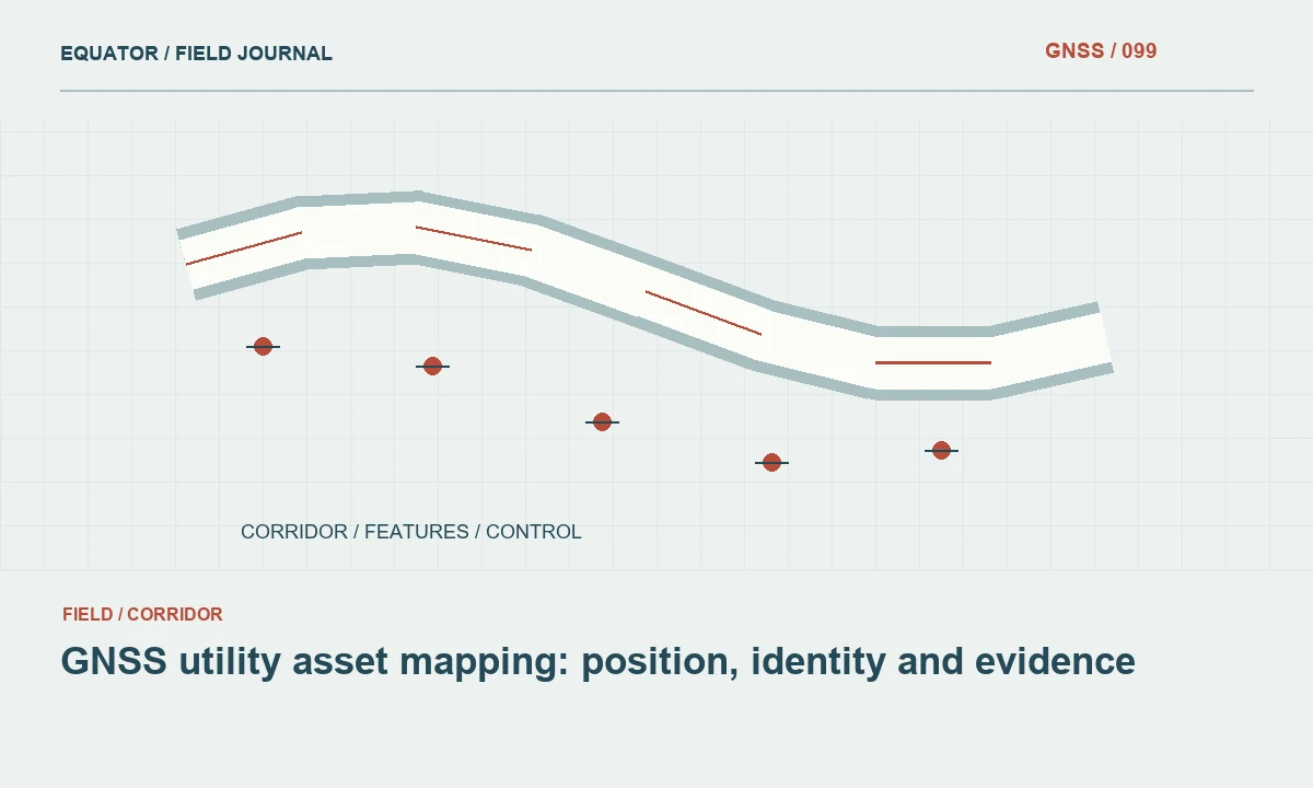
A GNSS rover locates the antenna reference point and, through the documented measurement arrangement, a visible target or offset. It does not directly detect the path of an underground cable or pipe. Treat subsurface information from locating instruments, records or inspection as a separate evidence source. Record how each geometry was obtained and who supplied it.
Do not connect two visible covers with a straight line and present that line as a verified buried alignment unless the project evidence supports that interpretation. Use separate status or provenance attributes for measured, traced, inferred and record-derived geometry. This distinction helps planners and maintenance crews understand what the map can support and where additional investigation is required.
Continue learning Mapping water network assets with GNSS and reliable field records
Establish a practical field data model
Create stable asset identifiers that remain meaningful across repeated visits. Keep the identifier separate from the temporary point number assigned by a controller. Define field types, units and controlled value lists before deployment. A small test dataset should move through the entire capture and import workflow so the team can see whether identifiers, dates and photographs survive correctly.
Include observation metadata such as method, date, operator, reference system and quality status. Store a direct link between the asset and supporting photos or notes. If multiple observations describe one asset, preserve that relationship instead of creating duplicate assets without explanation. A clear data model reduces later effort spent matching nearly identical points from different visits.
Continue learning Recording drainage assets with GNSS and clear field evidence
Plan GNSS work around the urban environment
Utility assets often sit beside walls, under trees, close to vehicles or inside fenced compounds. These conditions can obstruct signals or produce reflections. Assess the observation location individually and record limitations. A fixed RTK result should be considered alongside the environment and independent checks, rather than used as the only evidence of positional suitability.
Choose an appropriate alternative method for inaccessible or obstructed assets. If an offset is used, document the measured reference point, direction, distance and method. Avoid moving the antenna to a convenient open location and assigning that position to the asset without preserving the relationship. The office team must be able to distinguish a direct observation from a derived position.
Continue learning GNSS mapping for powerline corridors: control and field evidence
Capture attributes and photographs together
Photograph the asset identifier, overall setting and any detail needed to interpret the observation. Link images through a stable asset or observation key rather than relying on filenames generated by a phone alone. Record the date and viewpoint where that context matters. A close photograph of a cover may be insufficient to recover the asset among several nearby covers.
Use field validation to catch missing mandatory attributes while the crew is still at the location. Keep free text available for unusual situations that controlled lists cannot describe. Do not force an unexpected asset into the nearest category merely to complete the form. Flag it for review and preserve enough evidence for the asset owner to decide how it should be classified.
Continue learning GNSS corridor surveys: controlling a long, changing work area
Check position and asset identity independently
Survey suitable reference points at the start and end of the session, and repeat selected asset observations according to the project plan. Assess positional differences using agreed acceptance criteria. Also check identity: an accurately surveyed point can still be linked to the wrong asset record. Review labels, nearby photographs and operational identifiers together.
Look for duplicates, impossible attribute combinations and geometry inconsistent with the surrounding network. A repeated identifier may indicate a legitimate revisit or an accidental copy; the review should determine which. Preserve original observations when corrections are made. Editing a coordinate or attribute should leave a trace of the reason and the evidence used to approve the change.
Continue learning Mapping water network assets with GNSS and reliable field records
Prepare a map that communicates evidence
Symbolise asset type and quality or provenance status in a way the intended users can interpret. Separate surveyed positions from inferred connections. Include the coordinate and height references in the delivery metadata, and make units explicit for depth or offset fields. A visually polished map should not conceal uncertainty that exists in the source observations.
Test the exported dataset in the receiving GIS or asset system. Confirm that identifiers retain leading zeros, dates are interpreted correctly and photos remain linked. Inspect a small selection against field notes and known locations. A file that opens without errors may still have lost the attributes that make the positions operationally useful.
Continue learning Recording drainage assets with GNSS and clear field evidence
Maintain the record through later visits
Treat a revisit as a new observation linked to the existing asset, unless evidence shows the object has been replaced or misidentified. Record changes in condition, access and positional evidence. Keep historical states where the asset management process requires them. This allows the map to describe an evolving network rather than overwriting its history at every survey.
Deliver a data dictionary, capture method, quality assessment and unresolved issues with the geometry. Explain the limitations of GNSS and any subsurface interpretations in plain terms. The strongest utility mapping workflow connects each coordinate to an identifiable object, a documented observation and an understandable level of evidence. That connection makes the dataset useful beyond the day it was collected.
Continue learning GNSS mapping for powerline corridors: control and field evidence
Resolve two records at one visible location
Two database records may point to the same cabinet or cover because one is a duplicate, because the object contains several assets or because an older survey used an approximate position. Do not merge them solely on proximity. Compare identifiers, photographs, ownership information and the asset owner’s records. Preserve the field observation as evidence while the identity question is reviewed through the agreed process.
If the owner confirms one physical asset with duplicate records, keep a cross-reference from the retired identifier to the retained one. If several assets share a structure, use a parent-and-child relationship rather than moving coordinates apart to make the map easier to read. The geometry should describe the physical evidence, while the database model should carry the logical relationships. This avoids turning a data display problem into a false spatial distinction.
Continue learning GNSS corridor surveys: controlling a long, changing work area
Practical checklist
- Define the exact observation point for every asset type.
- Separate measured positions from inferred buried connections.
- Check asset identifiers as carefully as coordinates.
Plan your GNSS setup
Compare the EQ10 and EQ20 receiver specifications, then discuss the configuration and support your project needs.
Compare GNSS receivers