Planning GNSS control networks for mining operations
Design mine survey control around stable references, operational change, independent checks and a clear distinction between surface and underground work.
Define the network purpose and responsibility
A mine control network may support surface mapping, haul road design, stockpile surveys, construction and the connection to other measurement systems. List these uses before selecting marks or observation methods. Different operations may have different accuracy requirements and approval responsibilities. A network suitable for broad surface mapping should not automatically be accepted for a more demanding construction or monitoring task.
Identify the mine survey authority and the process for adopting coordinates. Keep local operational requirements and applicable professional obligations within that approved process. GNSS is a surface positioning tool with limitations beneath structures and underground. Connections to underground control require a planned survey method and checks; satellite reception cannot be assumed where there is no usable view of the sky.
Continue learning CORS and network RTK: understanding the reference service
Connect the working grid to a defined reference
Mining projects often use a local grid that simplifies operations or aligns with the deposit. Record its origin, orientation, scale and relationship to an external reference system. Include the height reference and coordinate epoch where relevant. A grid name alone does not provide enough information for another team to reproduce the transformation.
Review legacy coordinate lists before mixing them with new GNSS observations. Similar point names or nearby map positions do not prove compatibility. Test approved common control points across the working area and examine residual patterns. An unexplained rotation, scale difference or elevation offset should be investigated rather than hidden through a convenient translation applied to the latest dataset.
Continue learning Designing redundancy into a GNSS control network
Select marks for stability and recoverability
Place primary control away from likely excavation, dumping and heavy traffic where the site plan permits it. Consider both physical stability and long-term access. A mark that survives but becomes inaccessible behind a restricted operating area may no longer serve the intended workflow. Distinguish primary control from temporary working marks in the register and on the ground.
Document mark construction, surroundings, access instructions and photographs. Recheck marks after nearby blasting, earthworks or other events identified by the responsible survey team as relevant. Do not assume a coordinate remains valid solely because the mark can still be found. The network needs an explicit process for confirming, suspending and retiring control as operations change the site.
Continue learning GNSS control for railway corridor mapping and survey connections
Design observations with independent evidence
Plan a network of observations that tests relationships between marks rather than a collection of isolated occupations. The appropriate method may involve static GNSS, real-time observations and other survey instruments, depending on requirements. Record antenna types, reference points, heights, setup conditions and observation periods. Keep original data available for later processing or investigation where the equipment supports it.
Repeated measurements are most informative when they introduce meaningful independence, such as a new setup or different observing conditions. Repeatedly saving the same solution without changing the evidence is a weak network test. Use the project's approved adjustment and assessment method, and retain rejected observations with a documented reason. A small reported residual is useful only when the observation design can reveal the errors that matter.
Continue learning GNSS control for bridge approaches and connecting roads
Account for pits, benches and obstruction
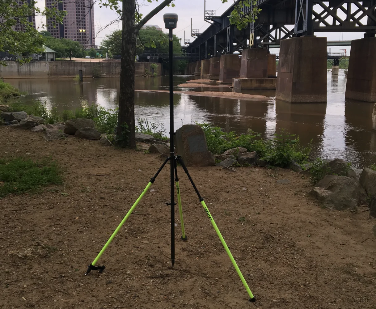
Open pit geometry can reduce satellite visibility and create challenging reflections near faces, machinery and infrastructure. A location that works well at the surface may perform differently on a lower bench. Inspect the observation environment and record limitations. Receiver status, satellite geometry and repeat checks should be interpreted together rather than reduced to a single acceptance icon.
Use suitable alternative methods where GNSS cannot support the required result. Establish clear connections between GNSS control and total station or levelling networks. Avoid treating an improvised offset as an equivalent direct occupation. Where access changes, update the network plan so crews know which marks and observation methods remain valid for each operating area.
Continue learning CORS and network RTK: understanding the reference service
Control changes across operational teams
Adopt coordinate revisions through a named release process. Record the reason for a change, affected marks, approval and effective date. Preserve previous versions so older surveys can be interpreted in their original context. Quietly replacing coordinates in a shared spreadsheet can leave different crews using incompatible reference sets without realising it.
Distribute the active control package to surveyors, contractors and relevant machine guidance teams through the agreed channel. Identify superseded files and remove them from active field use while keeping the archive. Test a representative import in the actual equipment used on site. Consistent units, point identifiers and transformation settings are essential when several software systems depend on the same control network.
Continue learning Designing redundancy into a GNSS control network
Monitor network health through routine checks
Create a check schedule related to the network's uses and site changes. Include observations that test both local working areas and the wider reference connection. Record the differences, assessment and follow-up action. A history of checks can reveal a developing issue that is difficult to recognise from a single isolated observation.
When a check fails, examine point identity, mark stability, instrument setup, reference settings and processing before adopting a conclusion. Do not automatically shift the whole network to fit one suspect mark. Compare the pattern across several independent references where possible. The objective is to identify the cause and preserve a coherent network, not merely to reduce the latest displayed discrepancy.
Continue learning GNSS control for railway corridor mapping and survey connections
Deliver control as a maintained information asset
Provide coordinates together with reference definitions, mark descriptions, observation evidence, adjustment information and current status. Explain which marks are suitable for each intended use. Include limitations for obstructed or operationally restricted areas. A control schedule without provenance can be convenient to load but difficult to trust when a conflict occurs.
Keep the network register, field files and release history under the responsible survey function. Review the plan as the mine expands or changes its operating layout. Surface control, temporary working points and specialised monitoring references should remain distinguishable. A maintained GNSS control network gives mining teams a common spatial foundation while preserving the evidence needed to assess changes and resolve disagreements.
Continue learning GNSS control for bridge approaches and connecting roads
Test a control release before machine use
Before a revised mine control package is used by another operational system, select a small set of stable check locations covering the relevant working area. Load the package through the actual import process and compare the displayed positions and elevations. This tests units, identifiers and transformation settings as well as the adopted coordinates. A spreadsheet review alone may not expose a machine system that retained an older local grid configuration.
Record which equipment or software version received the release and who completed the test. If a mismatch appears, preserve both configurations for investigation rather than editing control coordinates until the display agrees. The approved network should remain the reference. Resolving an import or configuration problem at this stage is much safer for the information workflow than allowing separate operational systems to develop their own undocumented coordinate adjustments.
Continue learning CORS and network RTK: understanding the reference service
Practical checklist
- Document the working grid and height reference completely.
- Separate primary control from temporary operational marks.
- Release coordinate revisions through a controlled register.
Plan your GNSS setup
Compare the EQ10 and EQ20 receiver specifications, then discuss the configuration and support your project needs.
Compare GNSS receivers