Designing redundancy into a GNSS control network
Redundant connections and independent checks give a GNSS control network the evidence needed to reveal inconsistent observations.
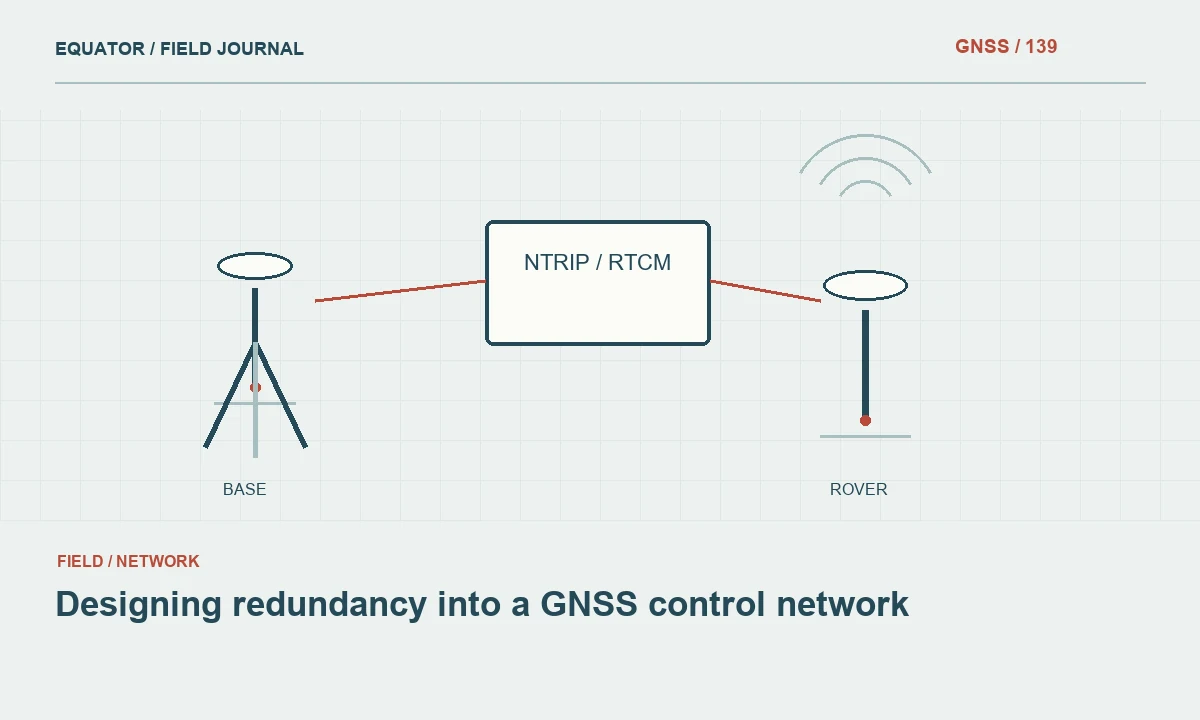
Give every additional observation a purpose
Redundancy means the network contains more information than the minimum needed to compute its unknowns. In practical GNSS surveying, it creates opportunities to detect inconsistencies and assess how observations fit together. Simply collecting many points does not establish useful redundancy. The observations must connect the marks and test relevant dependencies, such as setup, reference coordinates, session conditions and processing assumptions.
Begin with the project's control objectives. Identify which marks will support construction, mapping, monitoring or later surveys, and what happens if one becomes unavailable. A network designed only to produce coordinates today may provide little resilience for future work. Additional connections should strengthen the ability to verify important marks, reveal mistakes and recover the coordinate framework when access or site conditions change.
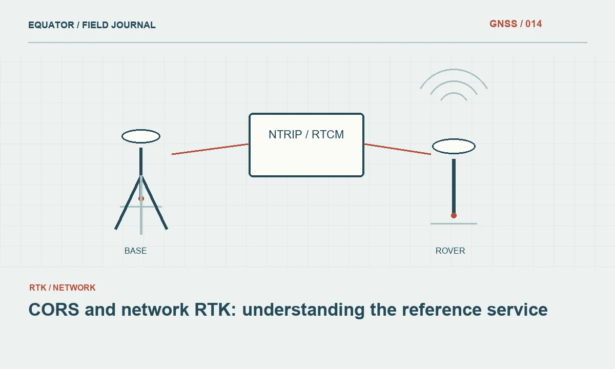
Continue learning CORS and network RTK: understanding the reference service
Distinguish repeated observations from independent evidence
Several measurements from the same unchanged setup may share antenna height, centering, obstruction and reference errors. They can describe short term consistency without testing those common dependencies. More informative repeats may involve remaking the setup, observing in another session or connecting to additional suitable reference stations. The required degree of independence depends on the project method and risk, so document it explicitly rather than assuming every duplicate has equal value.
Review how baseline vectors were formed. Several vectors derived from the same simultaneous session can be correlated. Treating them as completely independent may overstate the information in the network. Use processing and adjustment methods that account for the available observation structure. Where that structure is unclear, preserve the session grouping and explain the limitation instead of presenting a large vector count as proof of strong independent redundancy.
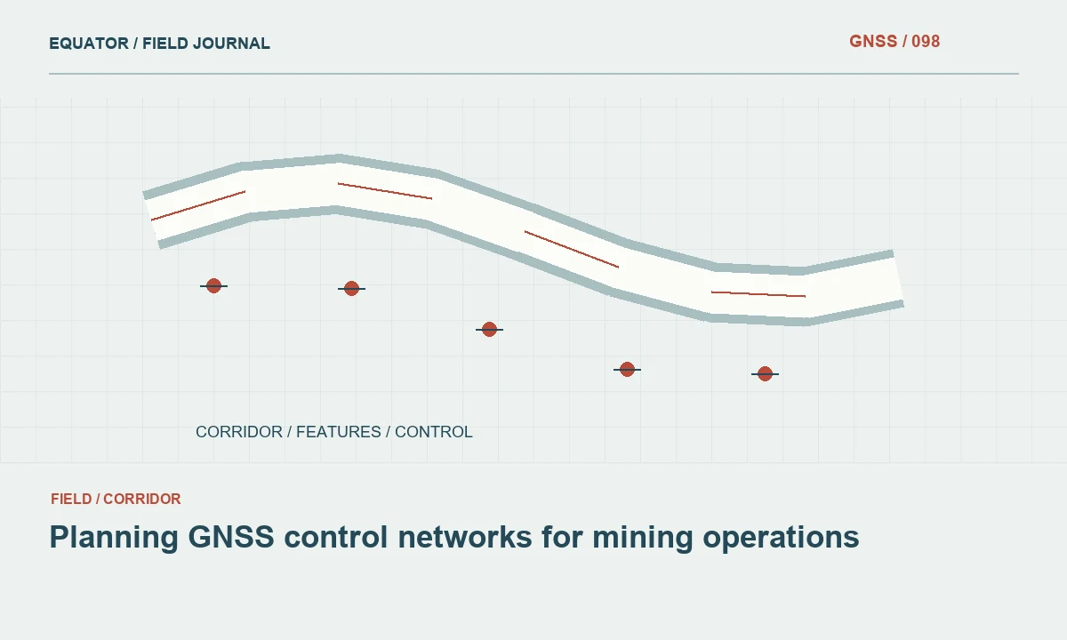
Continue learning Planning GNSS control networks for mining operations
Build connections across the project area
Draw the proposed marks and connections on a site plan. Identify long branches, isolated corners and points connected through only one critical observation. A loop can expose inconsistency, while cross connections can help localize it. Geometry matters as well as count: a cluster of control on one side of a long corridor may leave the far end poorly verified, even when the central cluster contains many observations.
Plan connections to the adopted reference framework. Check the provenance, reference epoch and stability of external control before making it influential in the network. More reference coordinates do not automatically improve the result if they are incompatible or poorly documented. The design should include a way to assess internal observation consistency separately from the final compatibility with the selected control constraints and any local transformation.
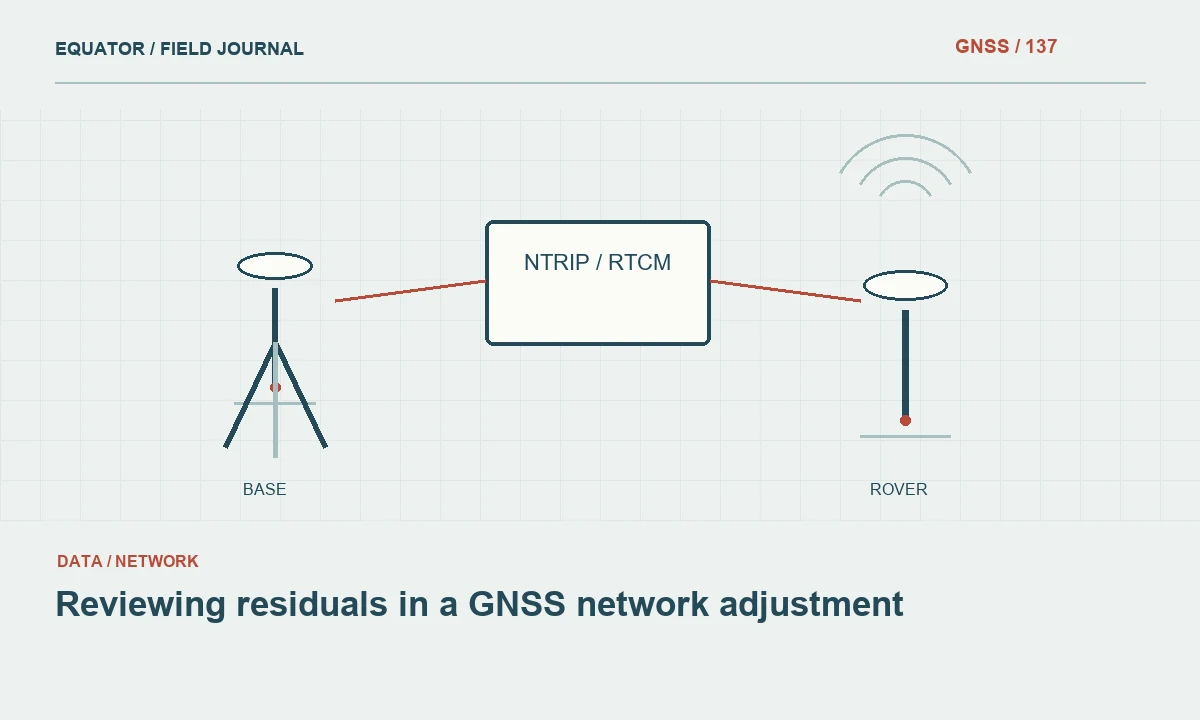
Continue learning Reviewing residuals in a GNSS network adjustment
Allocate field effort to vulnerable dependencies
Use redundancy strategically. Important marks, obstructed sites and setups with unusual access conditions may warrant additional occupations or alternative measurement techniques. A stable open mark with strong connections can help diagnose observations made at a more difficult location. Schedule observations so the crew can revisit questionable points while access is still available, rather than discovering after demobilization that an essential connection was never independently checked.
Include setup verification in the plan. Repeated antenna height measurements and clear reference point records can prevent a common blunder from propagating through several otherwise consistent vectors. Photograph marks and setups where useful. Give the crew a connection checklist that identifies completed sessions and remaining requirements. A network diagram kept only in the office cannot help a field team recognize a missing tie before leaving the site.
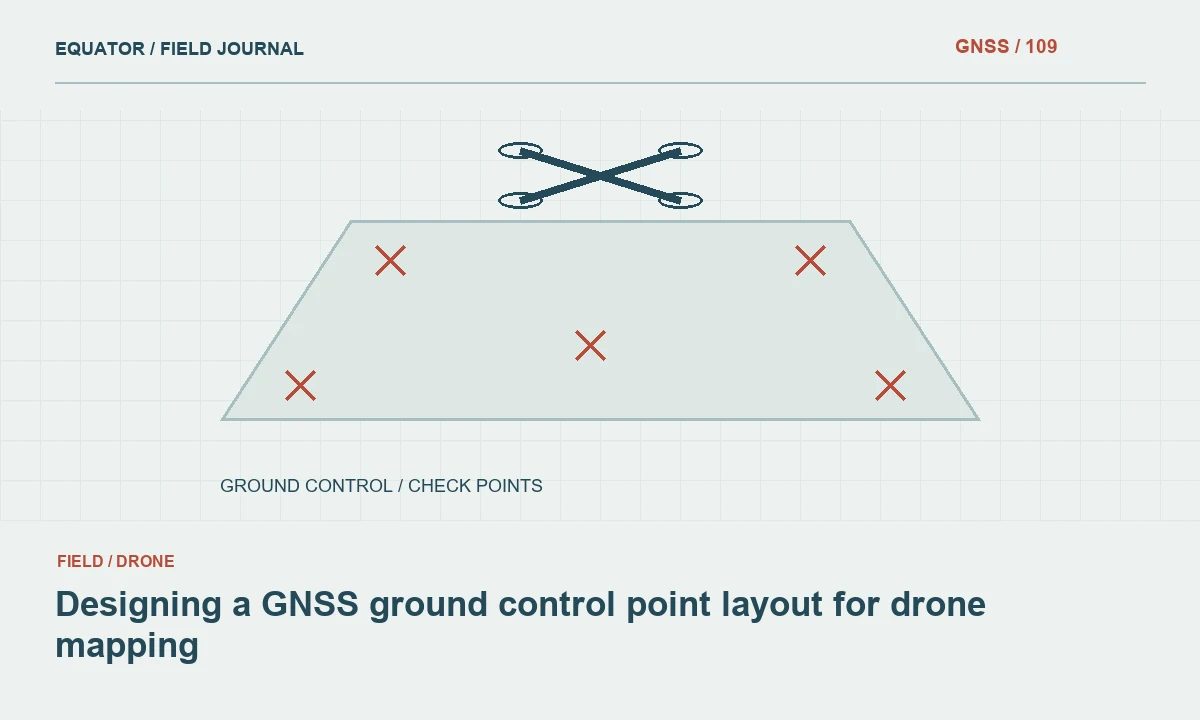
Continue learning Designing a GNSS ground control point layout for drone mapping
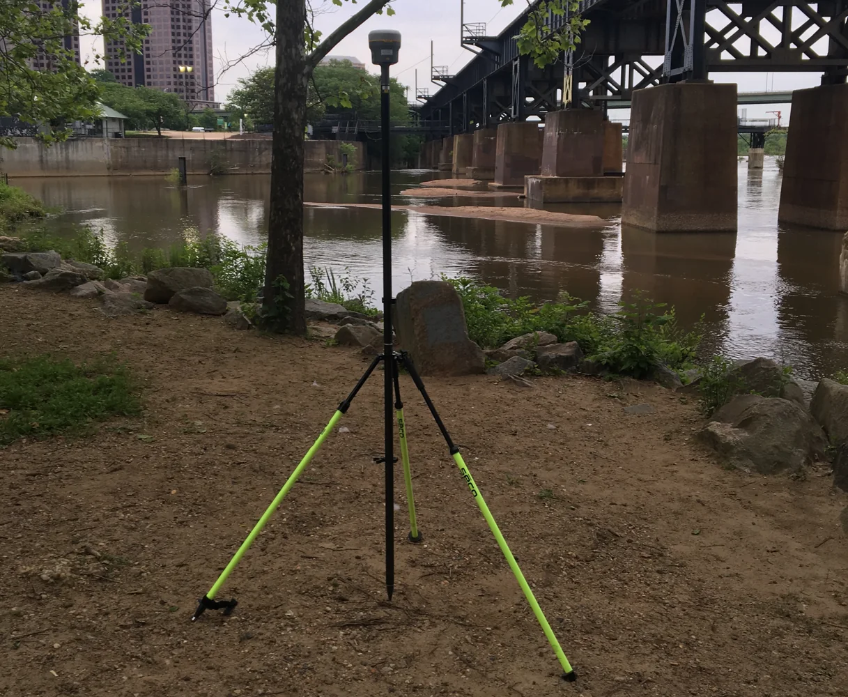
Evaluate a corridor example
Consider a road corridor with control marks near the beginning, middle and end. Measuring every mark once from one temporary base can produce a coherent set of coordinates, but much of the project shares the same base setup and reference assumptions. Additional sessions and cross connections can help test whether the marks remain consistent when those dependencies change. Independent checks near both ends are especially useful for revealing a spatial pattern.
If a later comparison shows tension only at the far end, inspect its connections and observation conditions before applying a project wide correction. If every mark shifts similarly, investigate common reference inputs. The planned redundancy makes these hypotheses distinguishable. Without it, the team may know that the final coordinates disagree with a check but have little evidence about which stage of the process needs correction.
Continue learning CORS and network RTK: understanding the reference service
Review the adjustment and the independent checks
After processing, examine residuals, coordinate uncertainty, connectivity and the influence of constraints. A network with many observations can still be weak if the observations share systematic errors or the constraints are inappropriate. Compare controlled alternative adjustments where the method permits, retaining the configuration of each run. Investigate unusual results with field evidence rather than repeatedly changing weights until the summary appears satisfactory.
Keep independent check observations outside the calculations they are intended to test. A point used to establish a transformation does not independently verify that transformation. Similarly, an observation included in the network contributes to its internal fit and should not be presented as external validation of the final coordinates. Both internal diagnostics and external checks belong in the quality report, clearly labeled according to their role.
Continue learning Planning GNSS control networks for mining operations
Test the network against a missing mark
During design, imagine that one important control mark becomes inaccessible or is disturbed before the next project phase. Determine whether the remaining connections allow the team to verify and reuse the framework. If every route to one area depends on that single mark, additional observations may improve resilience as well as immediate quality assessment. This exercise can reveal a weak branch that is not obvious from a coordinate list or a simple count of occupations.
Do not add observations indiscriminately. Identify which connection would answer a new question or reduce reliance on the vulnerable element. A second session through the same unstable mark may add less resilience than a suitable tie between other well established marks. Record the reasoning in the network plan so the field crew understands why a particular connection is essential. Later, if access prevents that observation, the project lead can evaluate the consequence and approve an alternative with the same purpose rather than accept a missing line because the network still contains many other measurements.
Continue learning Reviewing residuals in a GNSS network adjustment
Preserve a network that can be reused
Deliver the mark descriptions, observation sessions, connection diagram, processing inputs, constraints and accepted coordinate list together. Identify which marks have stronger or weaker evidence and which observations were excluded or repeated. Future crews should be able to reconstruct how a coordinate was established and determine whether a surviving subset of marks can support the next phase of work without relying on undocumented memory.
Useful redundancy is therefore a design decision, a field discipline and a reporting responsibility. Its value is not measured only by the number of extra occupations. It is measured by the questions those occupations allow the team to answer: whether a setup was sound, whether the framework is compatible, whether a mark is stable and whether an unexpected discrepancy can be investigated with evidence already in hand.
Continue learning Designing a GNSS ground control point layout for drone mapping
Practical checklist
- Give every additional observation a purpose.
- Test the network against a missing mark.
- Preserve a network that can be reused.
Plan your GNSS setup
Compare the EQ10 and EQ20 receiver specifications, then discuss the configuration and support your project needs.
Compare GNSS receivers