GNSS control for bridge approaches and connecting roads
Keep bridge approach control connected to the approved project reference while recognising where structures obstruct satellite observations.
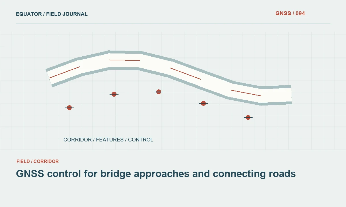
Separate approach control from structural monitoring
Bridge approach control supports the positioning of roads, abutment areas and related earthworks. It should not automatically be treated as a structural deformation monitoring system. Monitoring may require different instrument arrangements, reference stability assessments and analysis methods. Define the intended use of every control mark before the crew begins placing or observing it.
Ask the project team which drawings govern the approach alignment and how those drawings connect to the bridge reference. Confirm whether elevations refer to a project benchmark, an official vertical datum or a local construction level. The answer affects how GNSS heights are processed and checked. A precise observation in the wrong reference can still produce a costly mismatch at the bridge connection.
Continue learning Laser GNSS: measuring points that are difficult to approach
Choose stable marks outside active disturbance
Approach works often involve excavation, fill placement, heavy vehicles and temporary access roads. Select control locations that can remain stable and accessible as the work progresses. A convenient stake beside a haul route may be unsuitable as the only reference. Record a mark description and photographs so another crew can identify the same physical point without guessing.
Consider how the ground and surrounding activity may change over the project's duration. Separate permanent control from expendable working points and label them accordingly. When a mark is damaged, disturbed or obscured, stop using its coordinates until its status is resolved. Keeping a control register helps the team retire unreliable marks without losing the history of their earlier use.
Continue learning GNSS control for railway corridor mapping and survey connections
Understand the observation environment around structures
Bridge decks, steelwork, retaining walls and cranes can block or reflect satellite signals. Conditions can vary sharply between an open approach embankment and a point beneath an elevated deck. Inspect the sky view and surrounding reflective surfaces at each control location. A receiver's solution label should be assessed alongside repeat observations and independent comparisons.
Do not move the antenna away from a control mark merely to obtain a better display status and then describe the result as a direct occupation. If an offset method is used, document its geometry and measurement method. In difficult areas, total station observations or levelling may provide a more suitable connection. Method choice should follow the required result and local conditions.
Continue learning GNSS coastal survey control: linking land observations and height references
Tie both sides into a coherent network
Where approach works occur on opposite sides of a crossing, make the relationship between their control explicit. Independently established local origins can appear satisfactory within each work area but disagree when connected. Plan observations that test the network as a whole, using approved control and an appropriate adjustment or comparison strategy.
Maintain consistent antenna reference point and height conventions throughout the observations. Store raw GNSS data when the selected equipment and workflow permit it. Record setup changes, correction sources and observation periods. These records help distinguish a real difference between marks from a processing inconsistency introduced by separate crews or software settings.
Continue learning Planning GNSS control networks for mining operations
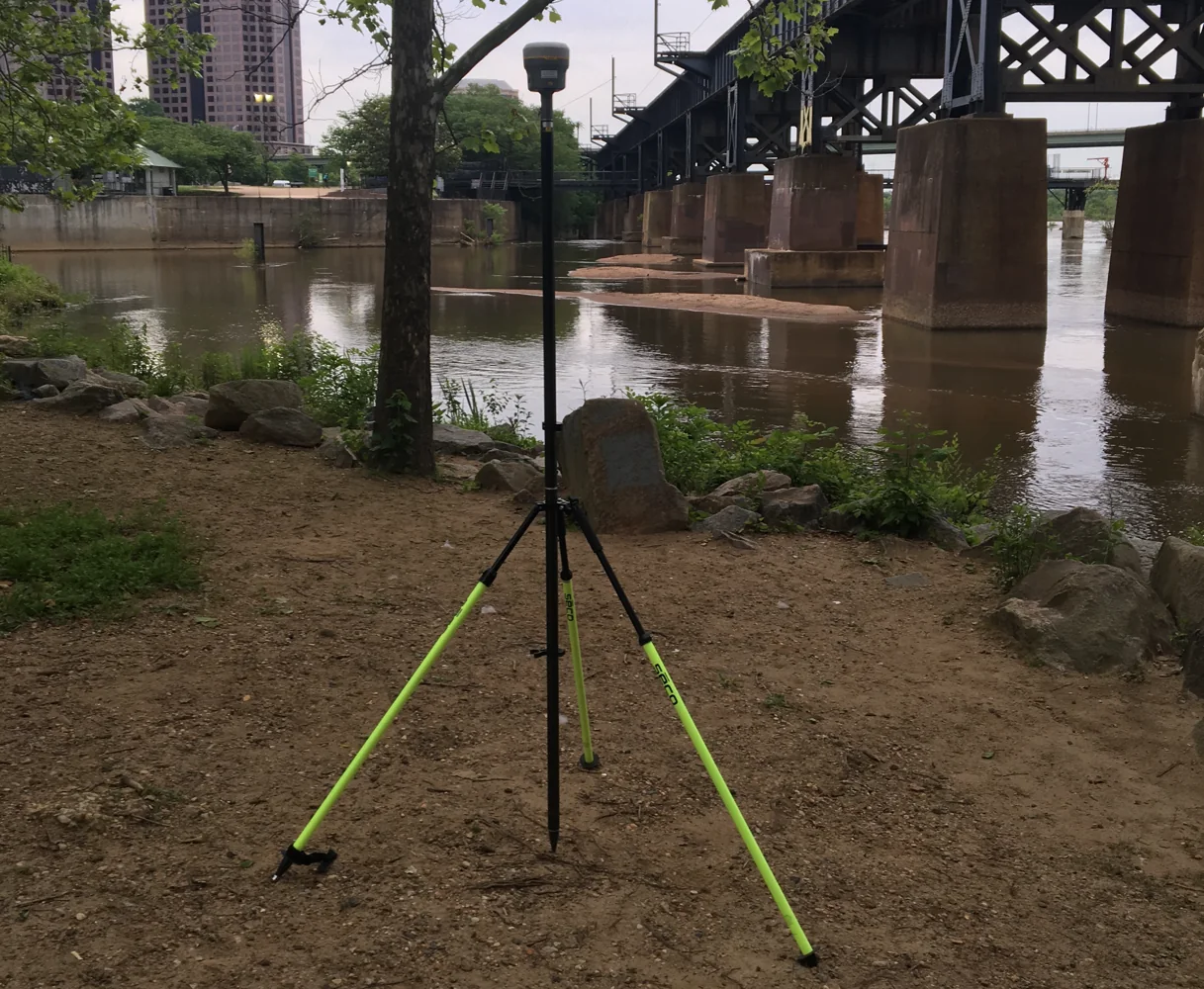
Treat elevation transfer as a defined operation
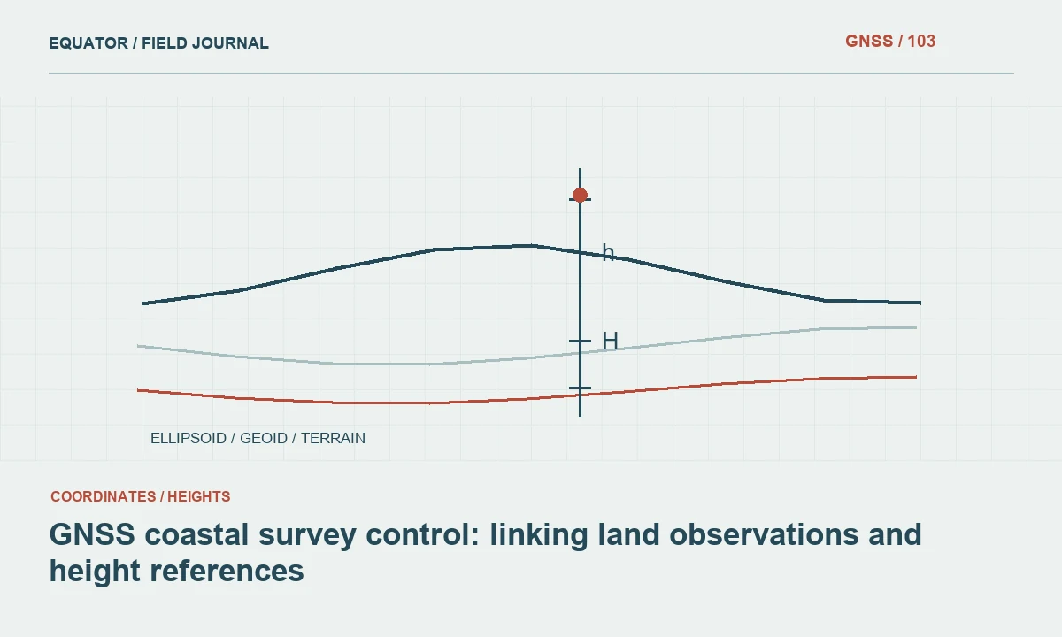
GNSS normally determines ellipsoidal height before any geoid or vertical transformation is applied. Approach grading often requires an engineering elevation tied to a specified vertical reference. Confirm the geoid model, benchmark relationship and transformation workflow before comparing these quantities. A value called elevation in a controller is not sufficient documentation of the height system.
Check important approach levels against suitable independent vertical control according to the project specification. If a GNSS-derived level disagrees with a benchmark, investigate the benchmark identity, antenna height and reference definitions before changing a model. Avoid hiding the discrepancy through an unexplained constant offset. The project team needs to know which operation produced the final adopted level.
Continue learning Laser GNSS: measuring points that are difficult to approach
Test control before using it for stakeout
At the start of a stakeout session, check more than one suitable reference point when the network and specification allow it. Different point locations can expose a rotation or scale issue that a single check may not reveal. Record the residuals and whether each point is accepted, investigated or excluded. Keep the check observations separate from the design points being set out.
Verify the design file revision and units alongside the control check. A correct instrument setup cannot compensate for an obsolete alignment or a millimetre-to-metre import error. Test a clearly identifiable design feature before proceeding with production work. When the check fails, suspend the affected operation until the cause is understood and the responsible project role approves the resolution.
Continue learning GNSS control for railway corridor mapping and survey connections
Manage changes without overwriting history
Construction control may be revised after additional observations or changes to the approved project reference. Treat this as a controlled release, with a date, version and explanation. Preserve the previous coordinates and identify the work that used them. Quietly overwriting a coordinate list makes later discrepancies much harder to investigate.
Communicate which marks are active and which coordinate version should be loaded into controllers. Remove obsolete working files from active field folders while retaining them in the archive. A short written change note can prevent one crew from staking an approach with the new network while another continues using the old one. Consistency across teams matters as much as consistency within a single observation session.
Continue learning GNSS coastal survey control: linking land observations and height references
Hand over control that another crew can verify
Provide a control schedule containing mark identifiers, coordinates, height references, descriptions and status. Include the observation method, adopted reference systems and relevant checks. Supply a sketch that shows the relationship between approach areas and bridge works. Mark any locations where satellite visibility or site access limits the method that can be used reliably.
The handover should make it possible for another surveyor to recover the marks and reproduce a meaningful check. State which records are construction control and which are only temporary working references. Retain the evidence behind adopted coordinates, including rejected observations and the reasons for rejecting them. This creates a defensible connection between the field network and the approach geometry built from it.
Continue learning Planning GNSS control networks for mining operations
Investigate an approach elevation mismatch
Suppose a new approach survey fits the plan coordinates but differs consistently in level from the bridge drawing. Begin by identifying the exact benchmark and height references used by both datasets. Check whether the controller exported ellipsoidal height or applied a geoid model. Compare more than one suitable benchmark where available, and confirm the design revision. The same apparent offset can arise from several causes, so a numerical difference alone does not identify the correct remedy.
Preserve the original observations while the issue is investigated. If an approved vertical operation is changed, record its name, version and effect on the affected points. Recheck the approach connection before releasing replacement coordinates. A clear issue note lets the construction team understand which earlier files are superseded and prevents an unrecorded level correction from being reused later as though it were part of the original reference definition.
Continue learning Laser GNSS: measuring points that are difficult to approach
Practical checklist
- Confirm the bridge and road reference definitions together.
- Protect stable control outside construction disturbance.
- Check elevation and design file revision before stakeout.
Plan your GNSS setup
Compare the EQ10 and EQ20 receiver specifications, then discuss the configuration and support your project needs.
Compare GNSS receivers