GNSS sampling and averaging: what more measurements really mean
A faster logging interval and a longer averaging period change a dataset in different ways, and neither automatically removes a shared bias.
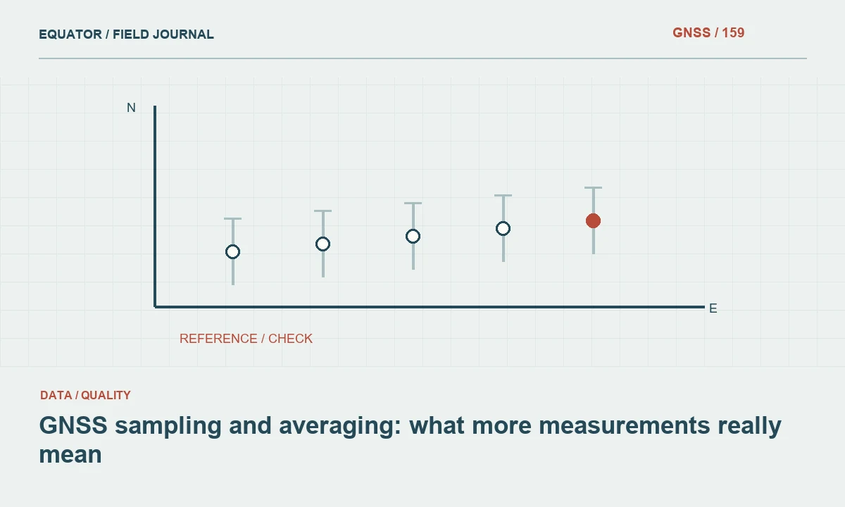
Separate collection frequency from coordinate estimation
Sampling describes when observations or positions are recorded. Averaging combines a set of values according to a defined method. A GNSS receiver can log frequently without averaging stored coordinates, or it can average a point while recording raw observations at another interval. Begin by identifying which operation the equipment actually performs. A display refresh rate, raw observation interval and stored point averaging period can be three different settings.
The distinction matters when comparing workflows. A point stored after many closely spaced epochs may look more stable than one instantaneous position, but the additional values can share the same setup, reference and environmental errors. More recorded numbers do not necessarily mean more independent evidence. Decide what the operation is intended to improve and what verification remains necessary after the coordinate has been stored.
Continue learning PPP vs RTK: different routes to precise GNSS
Understand which variation averaging can reduce
Under suitable assumptions, averaging can reduce some random variation. Its benefit depends on the behavior and correlation of the measurements. A persistent antenna height error, wrong base coordinate or datum mismatch does not disappear because more epochs are included. Multipath can also change slowly relative to a short occupation, leaving a bias that is not well represented by the scatter within the averaging window.
Do not infer external accuracy from the standard deviation of one averaged occupation alone. That statistic describes variation within a particular set under its processing assumptions. Compare independent occupations and suitable reference information when the project requires stronger evidence. Preserve the individual observations or occupations where practical so a reviewer can examine trends, interruptions and the method used to derive the accepted coordinate.
Continue learning GNSS repeatability versus accuracy: designing meaningful checks
Match sampling to movement
For a moving platform, sampling influences how the stored series represents the path. The distance traveled between epochs depends on speed, while turns and acceleration affect how well simple interpolation describes motion. A sparse series can miss important changes even if every recorded position is sound. Choose the rate according to the application and the timing needs of associated sensors, using the complete system's supported workflow.
Interpolation creates estimated values between recorded epochs; it does not add independent satellite observations. Label interpolated output appropriately and retain the original series. If an integrated navigation system uses inertial or other measurements between GNSS updates, review its documented quality information. A smooth output line should not conceal that some intervals have different observational support from others.
Continue learning Connecting PPP coordinates to local survey control
Match averaging to a stationary point
For a point occupation, confirm that the antenna remains over the intended physical feature and that the accepted solution conditions persist during collection. Movement, pole instability or a change in solution state can make a simple average misleading. The software's behavior matters: it may reject some epochs, reset an average or combine values in a way that is not obvious from the final point record.
Use the equipment documentation and a controlled test to understand the stored result. Retain start and end times, occupation duration, accepted epoch count and relevant quality status where available. A note saying averaged point is not enough to reproduce the procedure. The project method should state how interruptions and failed checks are handled rather than leave each operator to decide after seeing the result.
Continue learning Choosing a RINEX observation interval for GNSS work

Avoid averaging incompatible coordinates
Coordinates must share a compatible reference frame, epoch, projection, units and height convention before they can be meaningfully combined. A controller may hide some transformations from the operator, so verify the project setup. Do not average a local grid coordinate with an untransformed global coordinate or combine ellipsoidal and orthometric heights as though they described the same quantity. Numerical similarity is not proof of conceptual compatibility.
Likewise, do not average a clearly problematic occupation into otherwise sound observations merely to reduce the visible discrepancy. Investigate the cause and assign a review status. If the project method supports a weighted combination, document the uncertainty model and dependencies. Equal weighting is a calculation choice, not an automatically fair treatment of observations with different quality or shared errors.
Continue learning PPP vs RTK: different routes to precise GNSS
Compare two practical point procedures
Consider one crew that stores a point repeatedly without moving the pole and another that returns for a planned independent occupation after remaking the setup. The first procedure can describe short term solution behavior. The second tests additional dependencies, including centering and height entry. Neither is inherently sufficient for every task, but their evidence is different and should not be summarized as an identical number of repeat measurements.
If the rapid stores agree while the independent occupation differs, inspect setup, environment and solution conditions. Do not automatically average all values into one compromise coordinate. The disagreement may reveal a blunder or a limitation in the observation method. A useful procedure preserves that diagnostic value and leads to a documented decision about recollection or acceptance.
Continue learning GNSS repeatability versus accuracy: designing meaningful checks
Test recording and export behavior
Collect a representative test dataset and inspect the raw file, controller point record and exported coordinates. Confirm which intervals and quality values survive each stage. Some exports retain only the final average, while others include component occupations or a quality summary. Choose an archive format that preserves the evidence required for the project, even if the client receives a simpler coordinate table.
Check whether conversion or office software decimates the series or applies another smoothing step. Multiple undocumented operations can make the final values difficult to relate to the original observations. Keep derived files clearly named and record their purpose. A future analyst should be able to distinguish a raw sampled series, a processed trajectory and an averaged point dataset without reverse engineering the workflow.
Continue learning Connecting PPP coordinates to local survey control
Set acceptance using independent evidence
The project specification should define the relevant quality checks and their interpretation. Sampling rate and averaging duration can be part of the method, but they should not replace independent control or repeat occupation requirements. Evaluate horizontal and vertical components separately where appropriate. A small scatter within an average can coexist with a significant shared height offset from an incorrect setup or model.
Review representative difficult sites as well as open conditions. A procedure that behaves well on a training field may not be suitable beside reflective structures or under canopy. Record what the evaluation establishes and where another method is needed. This keeps an operational default from becoming an unsupported promise that a fixed number of epochs always guarantees a particular accuracy.
Continue learning Choosing a RINEX observation interval for GNSS work
Explain the final coordinate's construction
The handover should identify the original recording interval, point occupation procedure, averaging or weighting method, any filtering and the independent checks supporting acceptance. Preserve the original data and configuration where required. If the delivered dataset contains both direct observations and interpolated or averaged values, make their roles clear enough for downstream users to assess suitability.
Sampling and averaging are useful tools when their purposes remain explicit. Faster logging can preserve temporal detail, while a suitable average can summarize a stationary occupation. Their limits are equally important: neither operation creates independent verification, repairs a wrong coordinate framework or removes every systematic effect. A defensible GNSS workflow connects these settings to the measurement objective and retains the evidence needed to review the result.
Continue learning PPP vs RTK: different routes to precise GNSS
Practical checklist
- Separate collection frequency from coordinate estimation.
- Set acceptance using independent evidence.
- Explain the final coordinate's construction.
Plan your GNSS setup
Compare the EQ10 and EQ20 receiver specifications, then discuss the configuration and support your project needs.
Compare GNSS receivers