Connecting PPP coordinates to local survey control
A PPP solution and a local control coordinate can both be valid while describing different reference frames, epochs or height conventions.
Define both coordinate frameworks first
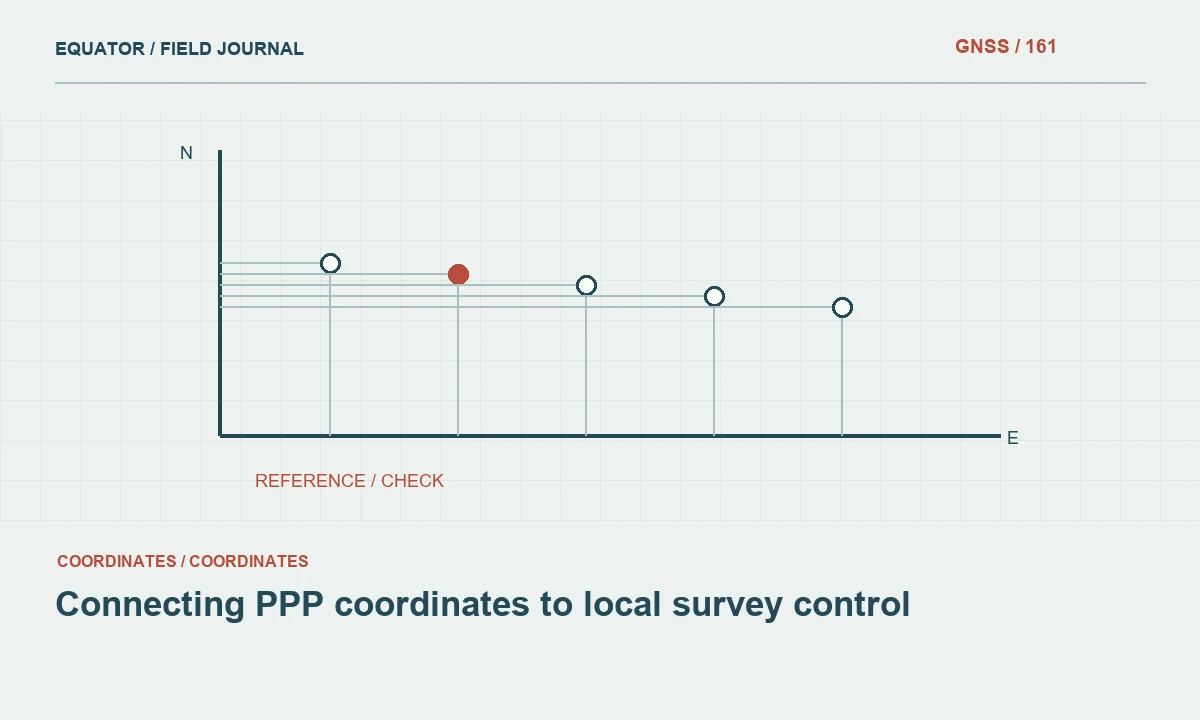
Precise point positioning can provide coordinates in a defined global reference framework, depending on the service and products used. A project may operate in a national, regional or local survey framework. Before comparing the numbers, identify the reference frame, coordinate epoch, projection, units and height convention on both sides. A difference is not automatically evidence that either solution is wrong when the coordinates describe different definitions.
Obtain the full PPP report and the provenance of the local control. A spreadsheet headed GPS coordinates is not a sufficient framework description. Likewise, a local grid name may omit the transformation parameters or origin used by earlier crews. Resolve these definitions before designing a fit or applying a shift. Otherwise a mathematical transformation can conceal a conceptual mismatch that returns later when the project expands.
Continue learning Local site calibration: connecting GNSS to project coordinates
Separate satellite solution quality from framework alignment
The PPP result must first be assessed under its own supported method: suitable observations, correct antenna metadata, adequate processing evidence and relevant independent checks. A local transformation does not repair a weak satellite solution. Conversely, a well supported PPP coordinate can require a legitimate transformation before it is useful in the project's local grid. Keep those two review stages distinct in the processing record.
This separation helps diagnose discrepancies. If repeated PPP occupations are inconsistent in their original framework, investigate observations and processing before fitting them locally. If they are consistent but differ systematically from local control, review frame, epoch and transformation assumptions. A good fit to a few points should not be used to erase uncertainty about either the original observations or the stability of the local marks.
Continue learning Defining a local survey grid: origin, orientation and external connection
Review the quality of local control
Confirm mark identity, stability, coordinate source and uncertainty. Inspect whether all control coordinates belong to the same project realization and whether heights use a consistent convention. Old control can be valuable, but age and familiarity do not prove compatibility. A disturbed mark or a coordinate copied through several undocumented transformations can create a misleading reference for evaluating a new PPP result.
Distribute suitable control across the project area where the method requires it. A cluster near one corner can produce an attractive local fit while providing weak evidence elsewhere. Consider geometry, terrain and the intended area of use. Keep some appropriate points outside the transformation determination so they can serve as independent checks, with their role clearly identified in the report and data files.
Continue learning Choosing and checking control points for coordinate transformations
Choose an appropriate transformation method
Use a transformation supported by the applicable reference system guidance and project specification. Depending on the frameworks, this may involve an official transformation, a documented grid or a controlled local fit. Do not assume that a simple translation is adequate because it makes one point agree. The required method depends on the coordinate definitions, area, accuracy objective and available control evidence.
Record the transformation parameters, direction, software, version and area of validity. Preserve source and target definitions. If a local fit is used, document the control points and weighting or selection method. A controller localization file can be part of this record, but it should not be the only explanation. Another surveyor needs enough information to understand the mapping between frameworks without relying on a proprietary screen label.
Continue learning GNSS sampling and averaging: what more measurements really mean
Handle heights as a separate workflow
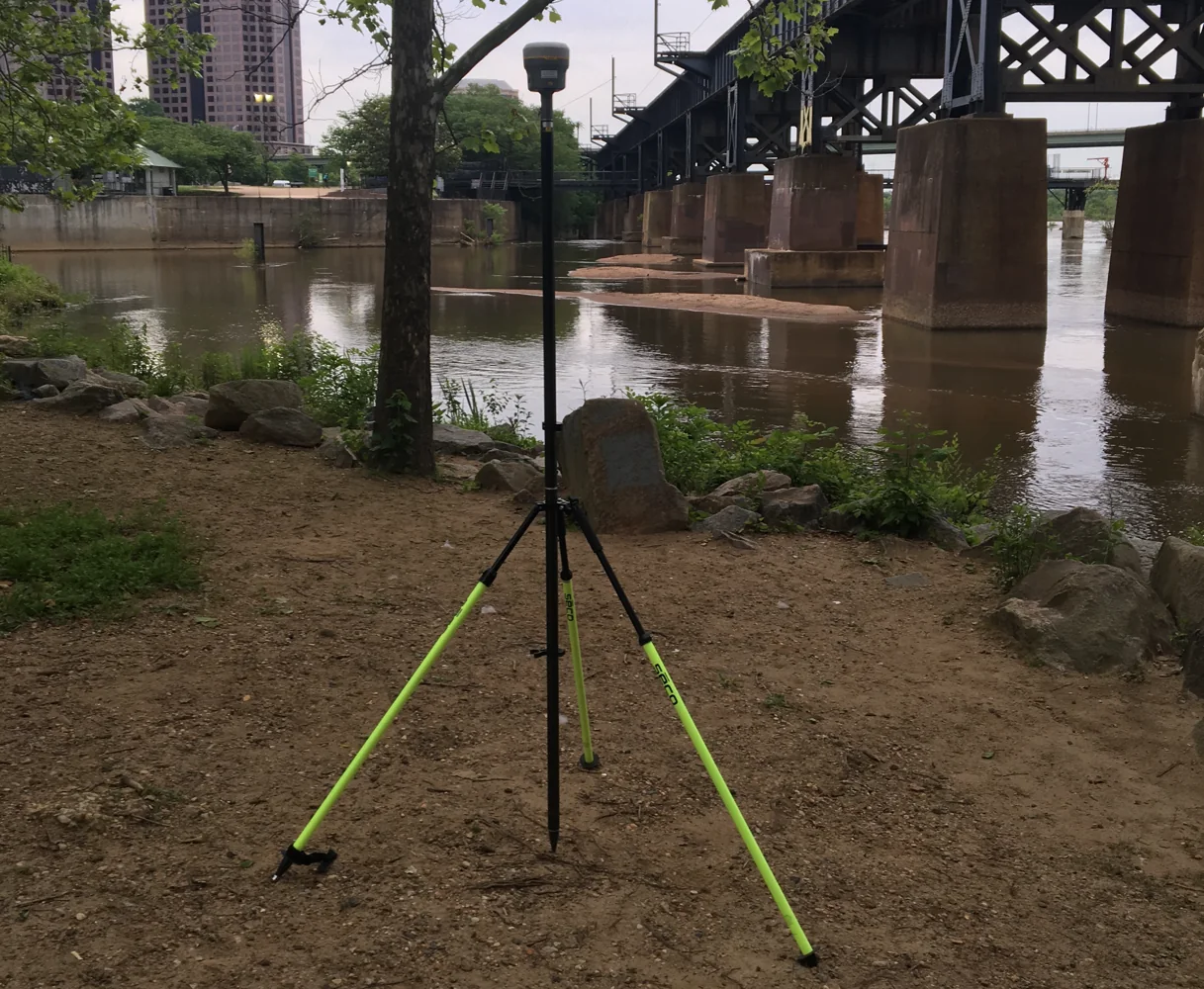
PPP commonly reports ellipsoidal height in its reference framework. Local engineering work may require orthometric heights or a construction benchmark system. Identify the geoid model or approved vertical transformation and its compatibility with the horizontal framework. A single phrase such as elevation above sea level does not establish a reproducible method. Record model identifiers, versions and any local vertical adjustment explicitly.
Do not assume that a successful horizontal transformation validates heights. Review vertical control and independent height checks separately. A local vertical fit may be useful under an approved method, but its limitations should be understood across the area. A constant shift, a tilt and a geoid related conversion are different operations with different evidence requirements, even when they all produce a column labeled elevation.
Continue learning Local site calibration: connecting GNSS to project coordinates
Test the alignment with independent points
Apply the selected transformation and compare appropriate points that were not used to determine it. Retain signed horizontal components and height differences, not just a single combined magnitude. Examine spatial patterns as well as summary statistics. A fit that looks good at its input points can still perform poorly outside their geometry or across an area with inconsistent local control.
If a check fails, investigate both the point and the model. Confirm setup, mark identity, coordinate provenance and observation quality before excluding it. Do not remove a point solely because it weakens the fit. Where evidence supports exclusion, record the reason and retain the original comparison. If the framework remains inconsistent, the project may need additional control work rather than a more flexible transformation that absorbs every discrepancy.
Continue learning Defining a local survey grid: origin, orientation and external connection
Consider a phased construction example
Suppose a new project phase uses PPP derived coordinates while an earlier phase used a local construction grid. The crew can make one shared mark agree by applying a shift, but that does not establish agreement across the full site. The project should recover several suitable marks, verify their definitions and test an approved transformation with independent points distributed through the area where the new work will occur.
The handover between phases should identify which coordinate list is authoritative and how design files relate to it. If a transformation is revised, assess the effect on previously collected features and issued drawings. A technically sound new fit can still create operational confusion if old and new coordinates circulate under the same project name without version identifiers or a clear supersession record.
Continue learning Choosing and checking control points for coordinate transformations
Keep original and transformed coordinates linked
Retain the original PPP solution, transformation inputs, transformed coordinates and check results as related but distinct records. Use stable point identifiers so the relationship remains visible. Do not overwrite original coordinates with local values and discard the framework information. Future reprocessing or frame updates may require the original solution, and an audit needs to distinguish satellite estimation from local alignment.
Name exports clearly and include coordinate metadata in the deliverable. A downstream GIS or CAD user should know which file contains the local grid and which contains global coordinates. Where formats cannot carry full metadata, provide an accompanying reference document. This is a practical safeguard against importing a valid coordinate into software that interprets it under an incompatible system.
Continue learning GNSS sampling and averaging: what more measurements really mean
Explain the final relationship in plain language
The report should state how PPP coordinates were established, how they were transformed into the project framework, which controls determined that relationship and which independent checks verified it. Include height treatment and limitations outside the tested area. Avoid claiming that PPP automatically reproduces any existing local grid or that a fitted match proves all legacy control is correct.
The objective is a transparent bridge between frameworks. When observations, transformation and verification remain distinct, the project can use PPP effectively while preserving continuity with local control. That clarity helps later crews repeat work, allows designers to interpret coordinates correctly and reduces the risk that a convenient numerical alignment becomes an undocumented assumption embedded throughout the project.
Continue learning Local site calibration: connecting GNSS to project coordinates
Practical checklist
- Define both coordinate frameworks first.
- Keep original and transformed coordinates linked.
- Explain the final relationship in plain language.
Plan your GNSS setup
Compare the EQ10 and EQ20 receiver specifications, then discuss the configuration and support your project needs.
Compare GNSS receivers