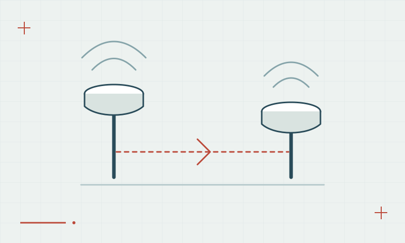
Antenna height: a small setup detail with large consequences
Antenna-height errors can persist through an otherwise good GNSS solution.
Read articleFifty practical articles on satellite positioning, RTK corrections, survey procedures and reliable geospatial data.
13–24 of 50 articles
Page 2 of 5Antenna-height errors can persist through an otherwise good GNSS solution.
Read articleContinuously operating stations provide reference observations; network services process or distribute them in different ways.
Read articleNTRIP carries GNSS data over the internet; the stream content determines how the receiver can use it.
Read articleA shared RTCM label is a starting point, not a complete compatibility test.
Read articleThe communication method changes field logistics, but it does not replace measurement quality control.
Read articleFresh correction data and a functioning internet or radio connection are related but different checks.
Read articleAs the rover moves away from a reference station, some shared error assumptions become less effective.
Read articleCheck the setup, correction flow and observations before repeatedly restarting equipment.
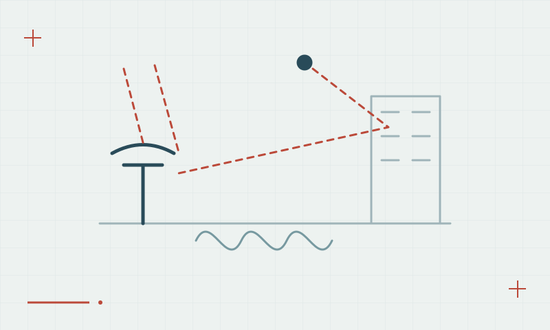
Read articleBuildings, metal surfaces and other reflectors can distort the observations a receiver uses.
Read articleTrees can block or weaken signals and reduce the continuity needed for precise phase measurements.
Read articleTall structures can limit satellite visibility and introduce reflections at the same time.
Read articleDilution of precision describes how observation geometry affects the position solution.
Read article