Planning GNSS construction stakeout from design to field evidence
A dependable stakeout workflow connects design revisions, project control, field checks and clear records of what was actually set out.
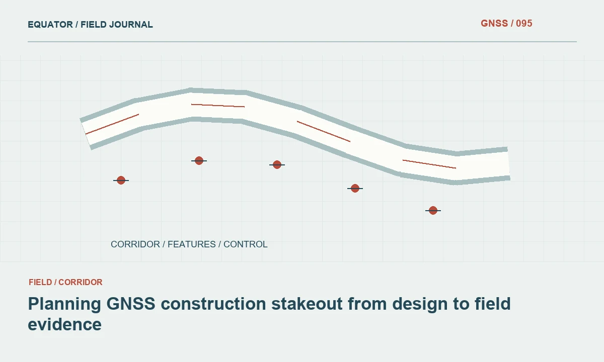
Identify what is authorised to be set out
Construction stakeout begins with an approved design and a defined work instruction. Establish the drawing or model revision, the objects to be marked and the party responsible for accepting the result. A point exported from a design package is not automatically an authorised construction instruction. Clarify whether the crew is setting a centreline, offset, grade reference or a physical corner.
Record the requested stakeout tolerance and the method for checking compliance. These values should come from the project specification and responsible design team rather than a receiver brochure. Also define how inaccessible points, design conflicts and damaged marks will be reported. Resolving these questions before fieldwork reduces the pressure to improvise when a contractor is waiting beside the instrument.
Continue learning A GNSS stakeout workflow from design to as-built check
Verify coordinate and height compatibility
Compare the design coordinate reference with the field control reference, including units, axes, local grid settings and height type. A local engineering drawing may use a project transformation that is absent from a generic GIS export. Obtain the approved transformation information and test it on known points. Assigning a coordinate system label is different from transforming coordinate values.
Treat horizontal and vertical checks separately. GNSS-derived ellipsoidal heights must not be confused with design elevations. Document the geoid or vertical operation used by the controller and compare it with the project requirement. If the design and control do not agree, resolve the reference problem before setting out production points, even when the receiver reports a fixed RTK solution.
Continue learning Planning GNSS control networks for mining operations
Prepare a controlled field package
Create a field package containing only the intended design revision, approved control and necessary background information. Use filenames that identify the project, work area and release date without relying solely on a generic name such as final. Keep a copy of the issued package in the office archive. Record who prepared and checked the export.
Inspect the exported geometry in a second view or application where practical. Check units, point counts, labels and a few representative coordinate values. Confirm that curves, offsets or three-dimensional objects have not been simplified in a way that changes their meaning. A small test import into the actual controller is more useful than assuming every design file behaves identically.
Continue learning Handing GNSS survey coordinates to CAD teams without losing meaning
Test the setup before production marking
Start with a known control check and record the observed difference. Where appropriate, check points distributed around the work area to test the project transformation rather than only its origin. Confirm antenna height, correction source and the active job settings. Keep the check as an observation record, not just a verbal statement that the instrument looked correct.
Choose a clearly identifiable design feature for an initial stakeout verification. Compare the result with the drawing and nearby physical references. A suspiciously large offset or reversed direction may indicate an import, axis or reference problem. Stop and investigate before continuing. Repeating the same incorrect setup rapidly only creates a larger quantity of misplaced marks.
Continue learning Planning static GNSS occupations for project control
Choose the observation method for the location
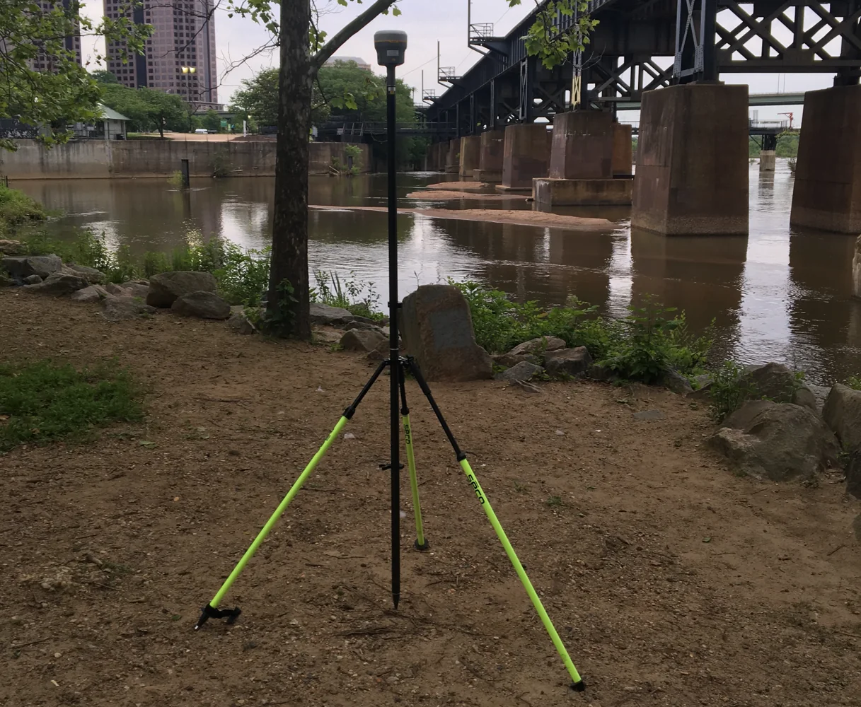
GNSS stakeout works best where the required result can be supported by the available satellite observations and control. Buildings, cranes, trees and reflective surfaces may affect reliability. Evaluate the observation environment at each target rather than treating the whole site as uniformly suitable. A fixed solution is useful information but does not eliminate every possible source of error.
Use an alternative method when the target cannot be observed adequately with GNSS. If a point is represented by an offset stake, record the offset direction, distance and purpose. Clearly distinguish the location of the stake from the intended construction position. Avoid presenting a convenient mark as an exact corner when it was deliberately placed elsewhere to survive the work.
Continue learning A GNSS stakeout workflow from design to as-built check
Mark points so the site team understands them
A stake should communicate the design object and any offset or level information unambiguously. Agree the marking convention with the construction team. Use durable labels where site conditions require them, and photograph important marks with their surroundings visible. A correct coordinate can still be misused if a contractor interprets the stake's description incorrectly.
Record whether the mark is a position reference, a cut-and-fill indication or a temporary witness point. Keep units explicit, especially for vertical annotations. Where multiple revisions or nearby stakes exist, remove or clearly retire superseded marks according to the agreed process. The objective is a field instruction that remains understandable after the survey crew leaves the immediate work area.
Continue learning Planning GNSS control networks for mining operations
Keep an independent check and an issue record
Check selected completed marks using an appropriate independent occupation or measurement arrangement. The check should test the result, not merely reproduce the same controller calculation with no change in evidence. Compare against the agreed acceptance criteria and record the outcome. Investigate any pattern in the differences before accepting the entire set.
Create an issue record for design conflicts, inaccessible targets and observations that do not meet the requirement. Include the affected object identifiers and the action taken. Do not silently move a design point to a convenient location or alter a level to fit existing ground. Decisions that change the design intent belong to the authorised project role and should be traceable.
Continue learning Handing GNSS survey coordinates to CAD teams without losing meaning
Release a clear stakeout report
Provide a record of the points requested, points marked, checks performed and exceptions remaining. Identify the design revision, coordinate reference, control version, instrument method and dates. Distinguish a design coordinate from a measured as-staked coordinate. If a mark was placed with an offset, report both the intended object and the relationship of the physical mark to it.
Archive the field job, raw observations when available, photographs and issued report together. A later as-built survey should have its own identity rather than overwriting the original stakeout record. This separation allows the project team to compare what was designed, what was marked and what was constructed. Reliable construction surveying depends on that chain of evidence as well as on the position measurement itself.
Continue learning Planning static GNSS occupations for project control
Separate stakeout from as-built evidence
A foundation corner can have at least three relevant positions: the design coordinate, the mark placed by the surveyor and the completed construction feature. Keep these as separate records with clear identifiers. A contractor may build from an offset witness stake, so the stake coordinate is not necessarily the corner coordinate. The report should preserve that relationship rather than using one generic point record for all three states.
When the completed work is checked, create an as-built observation linked to the design object. Record the method, date and measured physical feature. Compare it with the authorised design using the project’s criteria, and keep acceptance decisions with the responsible role. This separation makes a later discrepancy easier to explain: the reviewer can see whether it originated in design import, field marking, construction or the final observation.
Continue learning A GNSS stakeout workflow from design to as-built check
Practical checklist
- Verify the authorised design revision and reference system.
- Check control before and during stakeout.
- Report offsets, exceptions and as-staked observations explicitly.
Plan your GNSS setup
Compare the EQ10 and EQ20 receiver specifications, then discuss the configuration and support your project needs.
Compare GNSS receivers