Planning GNSS surveys around ionospheric disturbances
Ionospheric conditions can change GNSS observation quality, so a practical plan combines official information with actual field checks and contingencies.
Understand the ionosphere's role
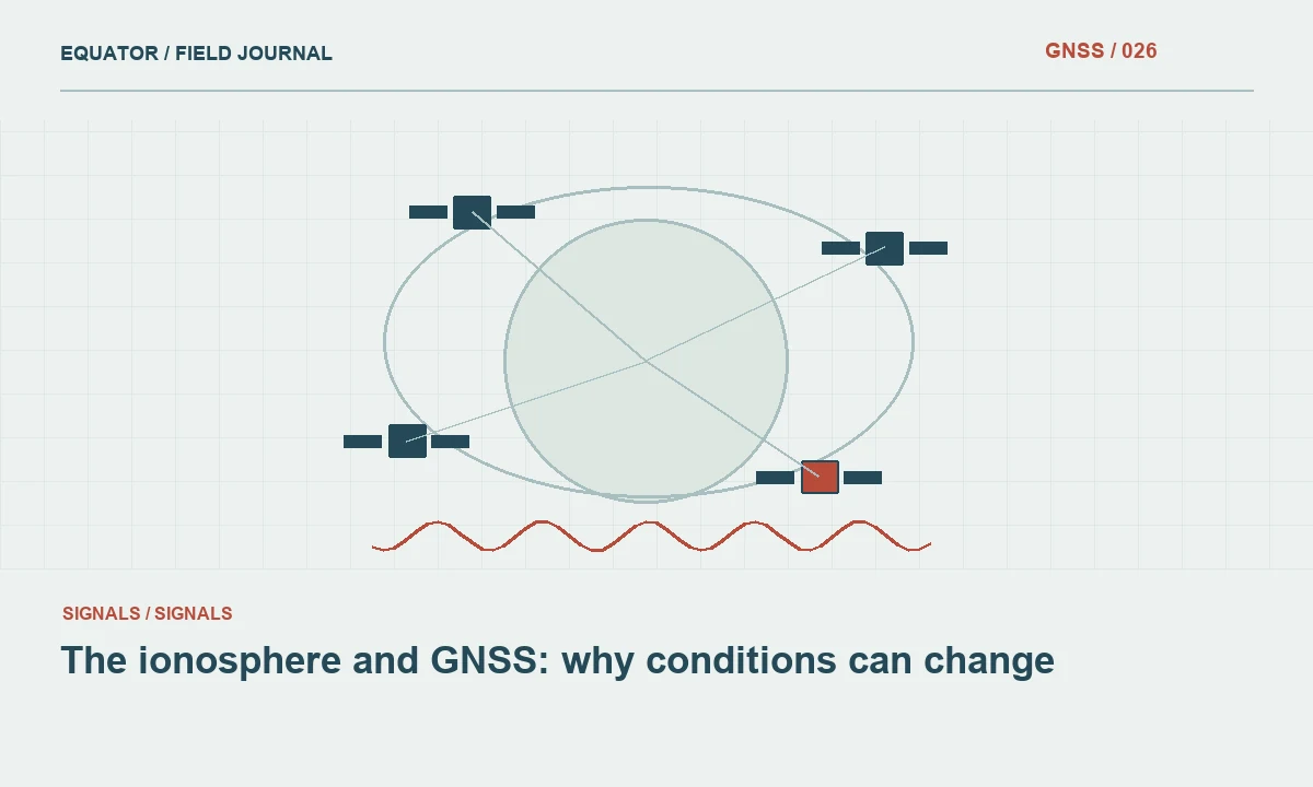
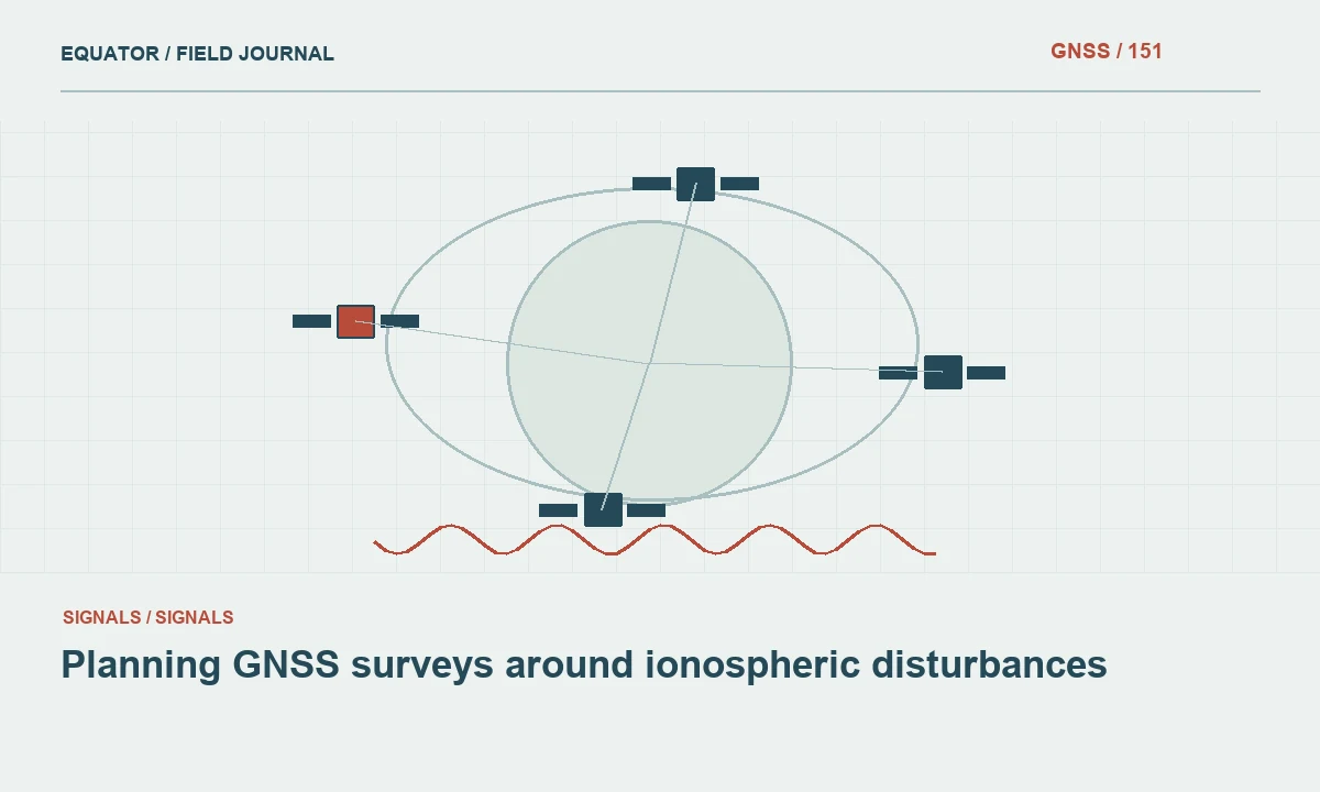
GNSS signals pass through the ionosphere before reaching a receiver. Charged particles influence their propagation, and the effect depends on signal frequency and conditions along the path. Positioning methods model or mitigate ionospheric effects in different ways. During disturbed conditions, those models and assumptions may be less effective, and tracking can become more difficult. The consequence is not identical for every receiver, location, signal or processing strategy.
Start with the project method and its sensitivity. A local relative survey, a long baseline solution and precise point positioning do not treat all atmospheric effects in the same way. Multi-frequency observations can help address some ionospheric effects without making the system immune to every disturbance. Avoid reducing the issue to a promise that more frequencies eliminate the need for field verification or operational contingency planning.
Continue learning The ionosphere and GNSS: why conditions can change
Use official information as context
Consult current information from an appropriate official space weather service when planning important work. Record the issue time and relevant period, because conditions and forecasts change. General alerts can help explain elevated operational risk, but they do not predict the exact coordinate error at a particular project point. Use them as context for scheduling and monitoring rather than as a direct replacement for observation quality assessment.
Keep the distinction between forecast, regional indicator and local evidence clear. A broad disturbance indicator may not describe conditions along every satellite path visible to the receiver. Likewise, a quiet general indicator does not prove that a difficult local observation is sound. The crew should continue checking setup, corrections, site environment and independent control even when the official outlook appears favorable.
Continue learning Recording drainage assets with GNSS and clear field evidence
Establish a baseline of normal operation
Before a campaign, test the planned equipment and correction workflow on suitable known points under representative conditions. Record normal initialization behavior, quality indicators and check discrepancies. This gives the team a practical comparison when behavior changes. A baseline should include the coordinate framework and configuration, because an unnoticed setting change can otherwise be mistaken for an atmospheric effect.
Use more than one indicator. Longer initialization, increased interruptions or inconsistent repeats can have several causes. Compare receivers, correction continuity and local site conditions where practical. A problem affecting one obstructed point suggests a different investigation from a widespread change observed across open sites. The objective is to identify evidence of degraded positioning, not to assign an atmospheric explanation whenever a result is inconvenient.
Continue learning Planning RTK baseline length before fieldwork
Define operational response rules
Write a simple escalation plan before the crew encounters degraded conditions. It should state when to pause collection, repeat a control check, preserve raw observations, change to an approved alternative method or contact the project lead. The acceptance rules should come from the project specification and tested workflow. Do not invent a universal space weather index threshold that guarantees suitable or unsuitable GNSS performance for every application.
Allow the schedule to support those rules. A field plan with no contingency time can encourage operators to retain weak observations because travel and access are expensive. Identify alternative tasks that can continue while GNSS suitability is reassessed. Where another survey method is available, confirm that its control and setup do not depend on the same unresolved GNSS issue that prompted the change.
Continue learning Managing GNSS field operations during changing solar activity

Preserve observations for later assessment
Where supported by the equipment and project policy, raw observations can provide valuable evidence for later review. Confirm that recording is active before conditions deteriorate, rather than assuming the controller project contains everything needed. Retain timestamps, correction source, solution state and relevant event notes. These records allow an analyst to examine continuity and processing behavior after the field session.
Raw data is not a guarantee that every degraded observation can be repaired. Some sessions may remain unsuitable for the intended purpose. Set expectations accordingly and preserve the option to recollect. If postprocessing is attempted, document the selected products, models and editing, then verify the result independently. A successful processing run should not be used to erase the fact that the original field evidence raised a quality concern.
Continue learning The ionosphere and GNSS: why conditions can change
Investigate a widespread degradation example
Imagine several crews report unusually slow initialization at open sites while correction connections remain stable. The project lead checks current official space weather information, compares configuration records and requests independent control observations. This combination is more informative than immediately blaming either the receiver or the ionosphere. The pattern suggests a broad issue, but equipment, reference services and communication dependencies still need to be examined.
If the independent checks fail the project criteria, collection should follow the predefined response plan. Retain the affected time window and points for review. When conditions improve, collect suitable repeat observations and compare them in the same coordinate framework. The acceptance decision should rely on the recovered evidence and documented method, not solely on a later reduction in a regional disturbance indicator.
Continue learning Recording drainage assets with GNSS and clear field evidence
Review horizontal and vertical effects separately
Assess horizontal and vertical discrepancies independently, including any height transformation used in the deliverable. A common vertical offset can arise from setup or model choices unrelated to ionospheric conditions. Do not let a plausible environmental explanation prevent routine checks of antenna height, reference coordinates and datum settings. The complete measurement chain remains the basis of diagnosis.
Compare repeated observations with their times and conditions visible. An average across a disturbed and an apparently stable period may conceal the interval that needs investigation. Preserve individual occupations and their review status. If the accepted coordinate comes from a later repeat, identify that relationship clearly so downstream users do not unknowingly select an earlier provisional export from the affected session.
Continue learning Planning RTK baseline length before fieldwork
Keep an affected period register
Maintain a compact register of points collected during a period under atmospheric review. Link each to its observation time, original status, repeat evidence and final disposition. The register prevents a general event note from becoming detached from the actual coordinates. It also makes recovery practical: the office can see which points were independently verified later and which still need action. A broad disturbance explanation should never substitute for this point specific acceptance record when the project requires verified coordinates.
Continue learning Managing GNSS field operations during changing solar activity
Report what was observed and how it was handled
The quality record should identify relevant official information, affected periods, actual field symptoms, failed or successful checks and the actions taken. Distinguish a suspected atmospheric contribution from a confirmed equipment or configuration problem. Avoid stating a precise ionospheric error magnitude unless the analysis actually supports it. A practical report can be candid about uncertainty while still explaining why the final coordinates were accepted.
Ionospheric planning is most effective when it prepares the team to respond to evidence. Official information, representative testing, raw data retention and independent checks work together. The result is a survey process that can pause or adapt when conditions weaken, then demonstrate through documented verification that the final deliverable meets the project's intended use.
Continue learning The ionosphere and GNSS: why conditions can change
Practical checklist
- Understand the ionosphere's role.
- Keep an affected period register.
- Report what was observed and how it was handled.
Plan your GNSS setup
Compare the EQ10 and EQ20 receiver specifications, then discuss the configuration and support your project needs.
Compare GNSS receivers