Investigating vertical bias in GNSS-controlled photogrammetry
Trace systematic height differences through references, observations and model behaviour before applying an unexplained elevation offset.
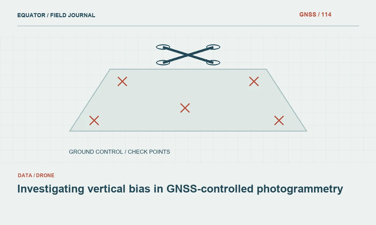
Define the height comparison clearly
A vertical difference is meaningful only when both values describe the same physical surface in compatible references. Identify whether the product is a surface model, bare-earth terrain model or another reconstruction. Confirm what each checkpoint represents. Comparing a vegetation surface with a ground point can produce a real physical difference that is not a georeferencing error.
State the sign convention used for residuals and keep units explicit. Agree the assessment method before reviewing results. A reported average offset without the underlying point definitions, distribution and reference information is difficult to interpret. The first task is to establish what was compared, not to decide how much to shift the model.
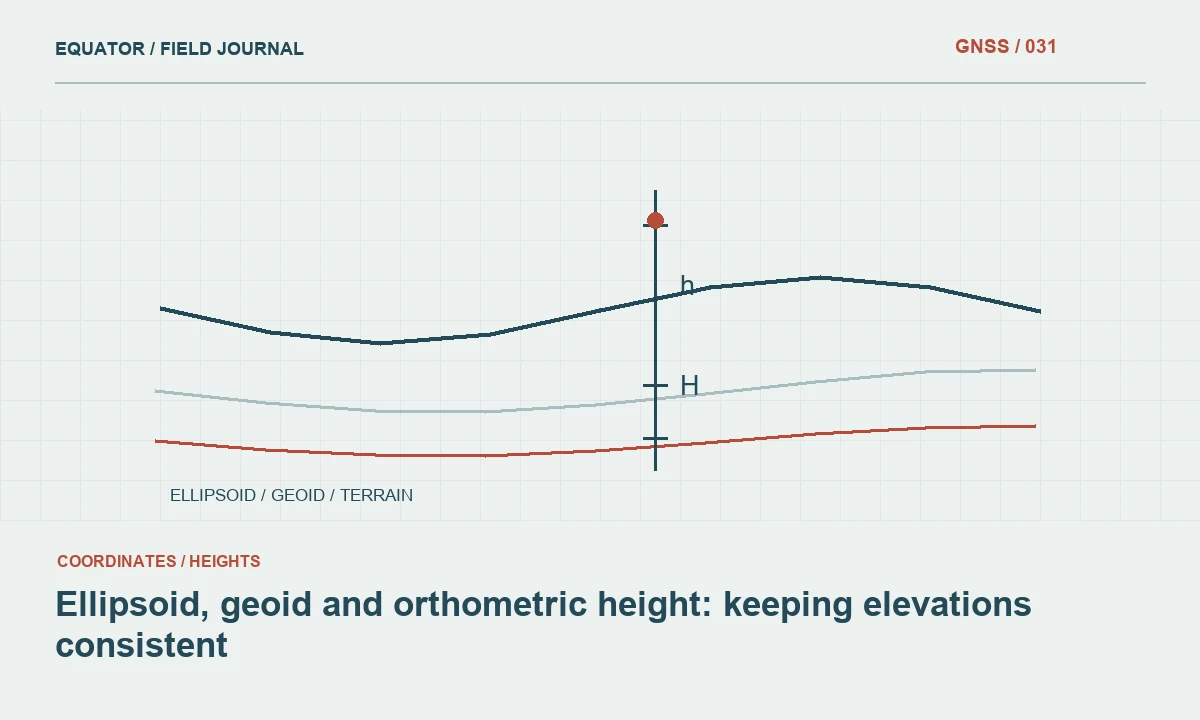
Continue learning Ellipsoid, geoid and orthometric height: keeping elevations consistent
Verify ellipsoidal and vertical datum handling
Review the height type of the ground observations, image positions and final product. GNSS-derived ellipsoidal height is not interchangeable with a geoid-derived or other engineering elevation. Record the model and transformation used at each stage. A controller or processing package may apply a vertical operation that is not obvious in a simple exported coordinate list.
Check whether a conversion was omitted, applied twice or applied with incompatible settings. Confirm antenna height conventions and the adopted base coordinate where relevant. Preserve the original values and settings while investigating. A consistent vertical difference can arise from reference handling, so changing photogrammetric parameters before reviewing the height chain may address the wrong problem.
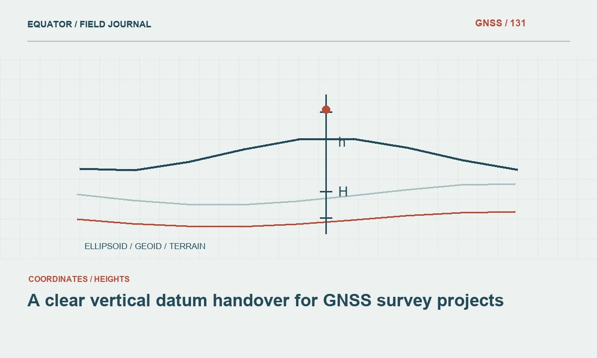
Continue learning A clear vertical datum handover for GNSS survey projects
Review ground observation evidence
Check the survey method, control checks, antenna reference point and height records for the affected points. Confirm that targets were stable between observation and imaging. Evaluate local GNSS conditions and repeated occupations. A fixed RTK status is useful information but does not rule out a mistaken pole height, point identity or reference configuration.
Keep control and checkpoint roles separate. If the model was adjusted to the same points used for assessment, the reported differences may not provide an independent test. Review the quality and distribution of the reference observations themselves. The product cannot be assessed more strongly than the supporting check evidence allows.
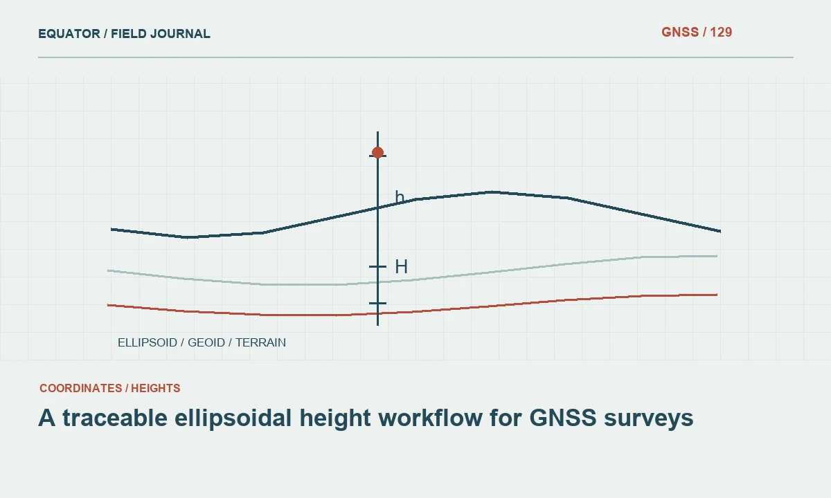
Continue learning A traceable ellipsoidal height workflow for GNSS surveys
Inspect image and model geometry
Review flight coverage, overlap, terrain variation and the distribution of control. Examine target marking and camera model behaviour through the approved processing workflow. Weak or uneven geometry can produce spatially varying errors that a single constant offset does not describe. Look for changes with location, height or distance from control.
Check the relationship between precise image positions and exposure events when direct positioning is used. Follow manufacturer documentation for antenna-to-camera geometry and timing. Do not invent parameter values to make residuals smaller. Processing changes should be justified by the equipment workflow and tested against independent observations, with the original solution retained for comparison.
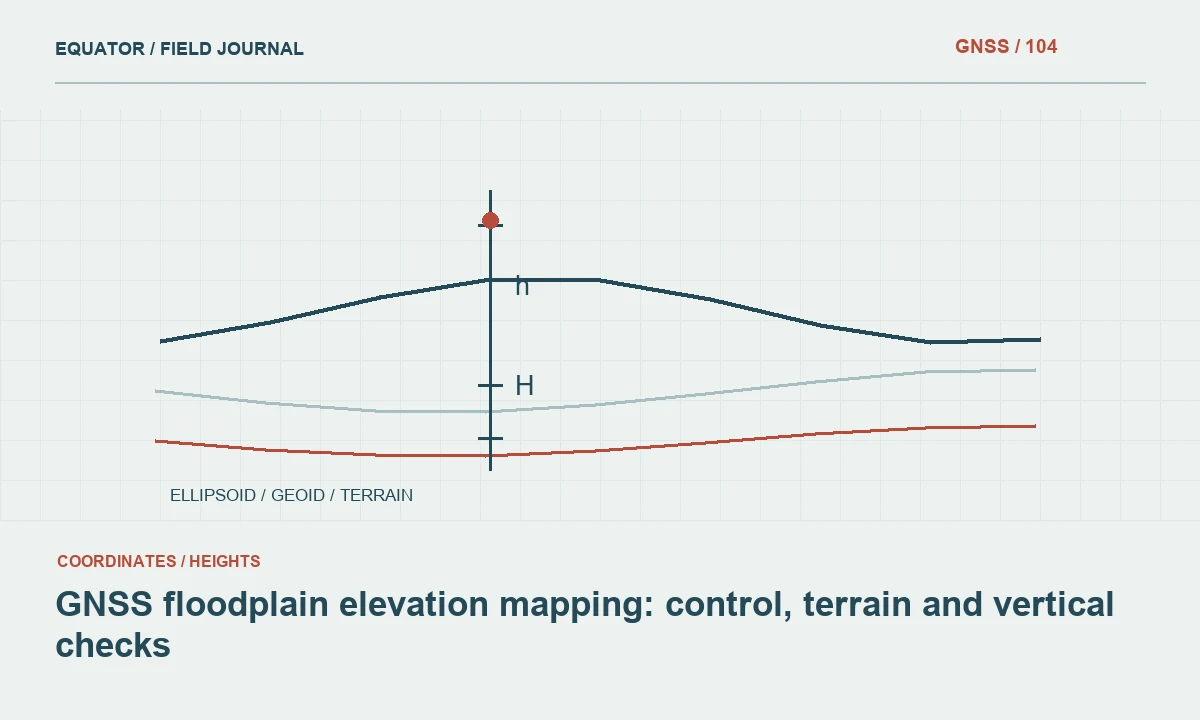
Continue learning GNSS floodplain elevation mapping: control, terrain and vertical checks
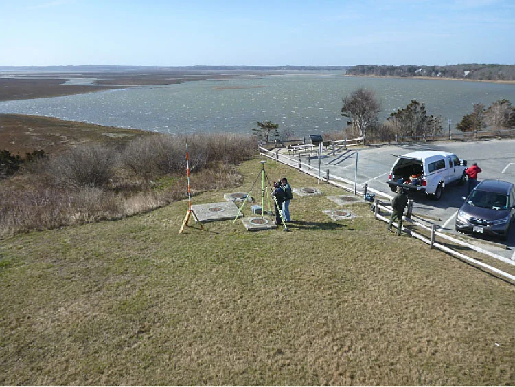
Separate bias from surface-specific differences
Map vertical residuals and group them by relevant surface conditions. Open hard targets, grass, shrubs and steep ground may behave differently. A common mean across all checks can hide a pattern in which the product is well aligned but reconstructs a different surface under vegetation. The review should distinguish reference bias from surface representation.
Inspect individual large differences with images, field photographs and observation notes. Confirm that the sampled model location matches the physical checkpoint. Avoid excluding points solely because they worsen the result. Document whether a point is invalid, represents a different surface or reveals a genuine limitation of the product. These are different conclusions with different implications for the user.
Continue learning Ellipsoid, geoid and orthometric height: keeping elevations consistent
Choose a remedy that addresses the cause
If the cause is a confirmed reference operation error, correct that operation and regenerate coherent products. If the issue comes from target identification or processing geometry, revise the relevant processing step. Additional survey evidence or a new collection may be necessary in some cases. The remedy should follow the diagnosis rather than a desire to remove the mean difference quickly.
An unexplained constant shift may improve a summary statistic while leaving spatial distortion or related products inconsistent. If an approved adjustment is applied, record its parameters, purpose and evidence. Test the released result with appropriate independent checks. Keep the original product and issue history so the correction remains understandable to a later reviewer.
Continue learning A clear vertical datum handover for GNSS survey projects
Report residuals and exclusions transparently
Provide checkpoint identifiers, coordinates, sampled product values, differences and the method used to summarise them. Include the spatial distribution and surface categories. Explain excluded points and preserve their evidence. Report control residuals separately from independent checkpoint assessment, since they describe different parts of the workflow.
Identify the exact model version and processing settings assessed. If several trial solutions were compared, state which one was released and why. Avoid attaching a favourable assessment from an earlier model to a later untested export. A vertical quality statement should describe a concrete product, reference and assessment method rather than the general capabilities of the drone or software.
Continue learning A traceable ellipsoidal height workflow for GNSS surveys
Preserve a reproducible height workflow
Archive original survey observations, target schedules, image positioning records, processing reports and vertical model versions. Document the sequence of transformations from source heights to delivered elevations. Test a representative point through that sequence independently of the final raster. This can expose a hidden double conversion or unit error before the full product is issued.
Use the lessons from the investigation to improve preflight and field checks. A small reference test at the start of the project may prevent a large reprocessing effort later. Reliable vertical mapping comes from a coherent chain of defined surfaces, height references and independent evidence. A low average residual is useful only when that chain is understood.
Continue learning GNSS floodplain elevation mapping: control, terrain and vertical checks
Review a slope-dependent residual pattern
Suppose flat checkpoints agree reasonably while points on steep ground show larger vertical differences. Check horizontal alignment and sampling location as well as height. On a slope, a horizontal mismatch can appear as a vertical residual because the compared positions lie on different parts of the surface. Inspect the exact target location and model representation before attributing every difference to a vertical datum problem.
Compare well-defined targets and use the approved extraction method consistently. If the pattern remains, investigate image geometry and surface reconstruction in those areas. Keep the findings separate from any project-wide bias estimate. This prevents a correction derived from steep ambiguous checks from shifting otherwise satisfactory flat surfaces and makes the final limitation more useful to the receiving analyst.
Where the horizontal position of the checkpoint is uncertain, quantify or describe that limitation through the project’s approved method rather than treating the sampled vertical residual as an isolated sensor error. Review the target photographs and local slope together. A more clearly defined check may be needed to resolve the question. Keep the ambiguous point in the issue record, with the reason it could not support a stronger conclusion. This makes the assessment transparent and helps plan a focused follow-up instead of repeating unrelated observations.
Continue learning Ellipsoid, geoid and orthometric height: keeping elevations consistent
Practical checklist
- Confirm the same physical surface and height reference.
- Map residual patterns before choosing a correction.
- Reassess the specific product version released after a change.
Plan your GNSS setup
Compare the EQ10 and EQ20 receiver specifications, then discuss the configuration and support your project needs.
Compare GNSS receivers