Independent checkpoints for drone mapping: testing the result honestly
Reserve distributed survey observations to assess drone products without using the same points to calibrate the model being tested.
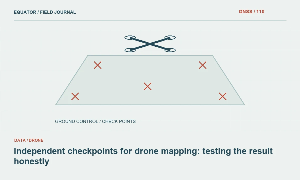
Define the product being assessed
An orthomosaic, surface model and bare-earth terrain model represent different quantities. State which product the checkpoints will test and what physical features they represent. A point on a roof may be useful for one assessment but inappropriate for a bare-earth surface check. The project’s required assessment method should guide selection, distribution and reporting.
Agree acceptance criteria before examining the final differences. Selecting a threshold after seeing the results weakens the meaning of the test. Record the reference system, height type and intended use of the product. Checkpoint planning is part of survey design, not a final step added only when a client asks whether the map is accurate.
Continue learning Ground control points vs checkpoints for drone mapping
Preserve independence from calibration
A checkpoint should not contribute to the adjustment or calibration of the product it is intended to assess. Keep its role clear in field schedules and processing software. If a point is later used to improve the model, it no longer serves as an independent check for that same solution. Reserve additional observations when the project may require both troubleshooting and final assessment.
Do not describe control residuals as equivalent to independent checkpoint differences. They answer different questions. A model can fit the coordinates used to constrain it closely while still showing errors elsewhere. The report should distinguish these evidence types and explain which observations were withheld from processing. This allows the recipient to assess the strength of the validation rather than only the size of a number.
Continue learning Designing a GNSS ground control point layout for drone mapping
Distribute checks across relevant conditions
Select checkpoints across the project extent and elevation range, subject to the approved assessment method. Include relevant surface and land-cover conditions. A group of points near the launch area may not test a distant slope or corridor end. Distribution should reflect where the product will be used and where its geometry is most likely to be challenged.
Avoid convenient but unrepresentative selections. If the product includes vegetated terrain, checks only on open hard surfaces may describe a different quality question. Keep the physical definition of each check clear. Where a surface is difficult to identify directly, record that limitation and use an appropriate assessment strategy rather than forcing an ambiguous point into the same category as a well-defined target.
Continue learning Choosing and checking control points for coordinate transformations
Survey the check coordinates rigorously
Use a suitable survey method and documented reference for the checkpoint coordinates. Record antenna height, correction method, observation dates and quality evidence. Evaluate local GNSS conditions, including obstructions and reflections. A receiver’s fixed RTK status is useful but should not replace independent occupations and control checks required by the project’s method.
The reference coordinates themselves have uncertainty. The assessment should consider that uncertainty rather than treating checkpoint values as perfect. Avoid using a weakly observed point to make a strong claim about a high-quality product. Preserve the original observations and processing records so unusual differences can be investigated without relying only on the final coordinate list.
Continue learning GNSS ground control and checkpoints for lidar projects
Match the physical point in the product
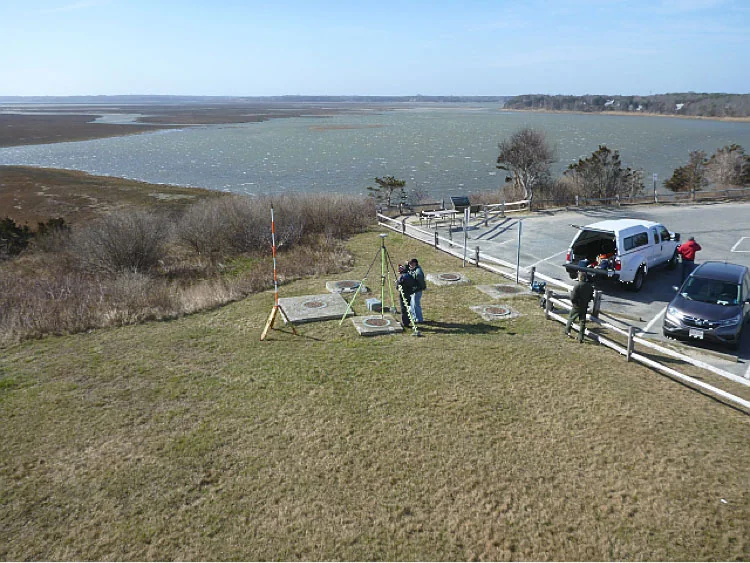
The checkpoint location must be identified consistently in the drone product. A target centre measured on the ground should match the same centre in the orthomosaic. For surface models, ensure the comparison samples the intended physical surface. A nearby kerb, vegetation edge or sloping patch can produce a difference unrelated to the model’s general positioning quality.
Record the extraction method and any interpolation used to obtain the product value at the checkpoint. Inspect ambiguous cases individually. Do not move the comparison location to a nearby pixel that gives a smaller residual without a defensible physical reason. The test is meaningful when it compares the same object and reference, not when it searches locally for the most favourable result.
Continue learning Ground control points vs checkpoints for drone mapping
Examine patterns as well as statistics
Calculate differences using the project’s approved convention and units. Review horizontal and vertical components separately where relevant. Map the residuals and inspect them against terrain, image coverage and distance from control. A systematic tilt or edge distortion can be obscured by a single overall statistic, especially when most checkpoints are clustered in a favourable area.
Investigate large differences before excluding them. Possible causes include a misidentified point, disturbed target, wrong height reference, poor survey observation or a real product error. Retain the evidence and document the decision. Removing inconvenient checks without explanation can make a report look better while reducing its usefulness for understanding where the product is reliable.
Continue learning Designing a GNSS ground control point layout for drone mapping
Report the assessment reproducibly
Provide checkpoint identifiers, reference coordinates, product values, differences and the method used to summarise them. State which points were excluded and why. Include their distribution and physical surface categories. Explain the coordinate and height references so a reviewer can verify that compatible quantities were compared.
Keep control residuals in a separate part of the report. Identify the product version and processing settings assessed. If the model is revised after troubleshooting, run the appropriate assessment for the released version rather than attaching results from an earlier product. A quality statement belongs to a specific dataset and workflow, not to the software or aircraft in general.
Continue learning Choosing and checking control points for coordinate transformations
Use failures to improve the workflow
When the product does not meet the requirement, trace the pattern back through reference settings, image geometry, target marking and ground survey evidence. The remedy may be a processing correction, additional control, a new flight or a qualified limitation. Adding more checkpoints does not itself improve the product; it improves knowledge of its performance.
Preserve the original assessment and document the revised method. This gives the project team a clear explanation of what changed and why. Independent checkpoints are valuable because they can reveal problems, not because they always produce a favourable report. A workflow that responds transparently to their evidence produces a more dependable mapping result.
Continue learning GNSS ground control and checkpoints for lidar projects
Review a vertical bias example
Suppose checkpoint height differences are similar across open hard surfaces throughout the project. Before changing camera settings or deleting checks, verify that the product and reference points use the same height type and vertical operation. Check antenna height records and the active geoid model. A consistent offset may reflect reference handling rather than random surface reconstruction noise.
If the cause is confirmed and corrected, preserve the original model and issue record. Reassess the revised product with the appropriate independent observations and report the new version clearly. If the cause remains uncertain, state that limitation instead of subtracting a convenient mean difference without explanation. The assessment should lead to a traceable decision supported by evidence, rather than an unexplained numerical adjustment.
Also check whether the vertical offset changes when checkpoints are grouped by surface type or project area. If one subset behaves differently, a single reference correction may not explain the whole product. Preserve the grouped results in the assessment and discuss whether additional investigation is required. The released statement should reflect the areas and surfaces actually tested. A concise limitation linked to a specific condition is more useful than a broad accuracy claim that ignores a known pattern in the independent evidence.
Continue learning Ground control points vs checkpoints for drone mapping
Practical checklist
- Reserve checkpoints outside model calibration.
- Distribute checks across the project’s relevant conditions.
- Report exclusions and the exact product version assessed.
Plan your GNSS setup
Compare the EQ10 and EQ20 receiver specifications, then discuss the configuration and support your project needs.
Compare GNSS receivers