GNSS ground control and checkpoints for lidar projects
Connect lidar positioning, calibration and independent surface assessment through clearly defined references and observation roles.
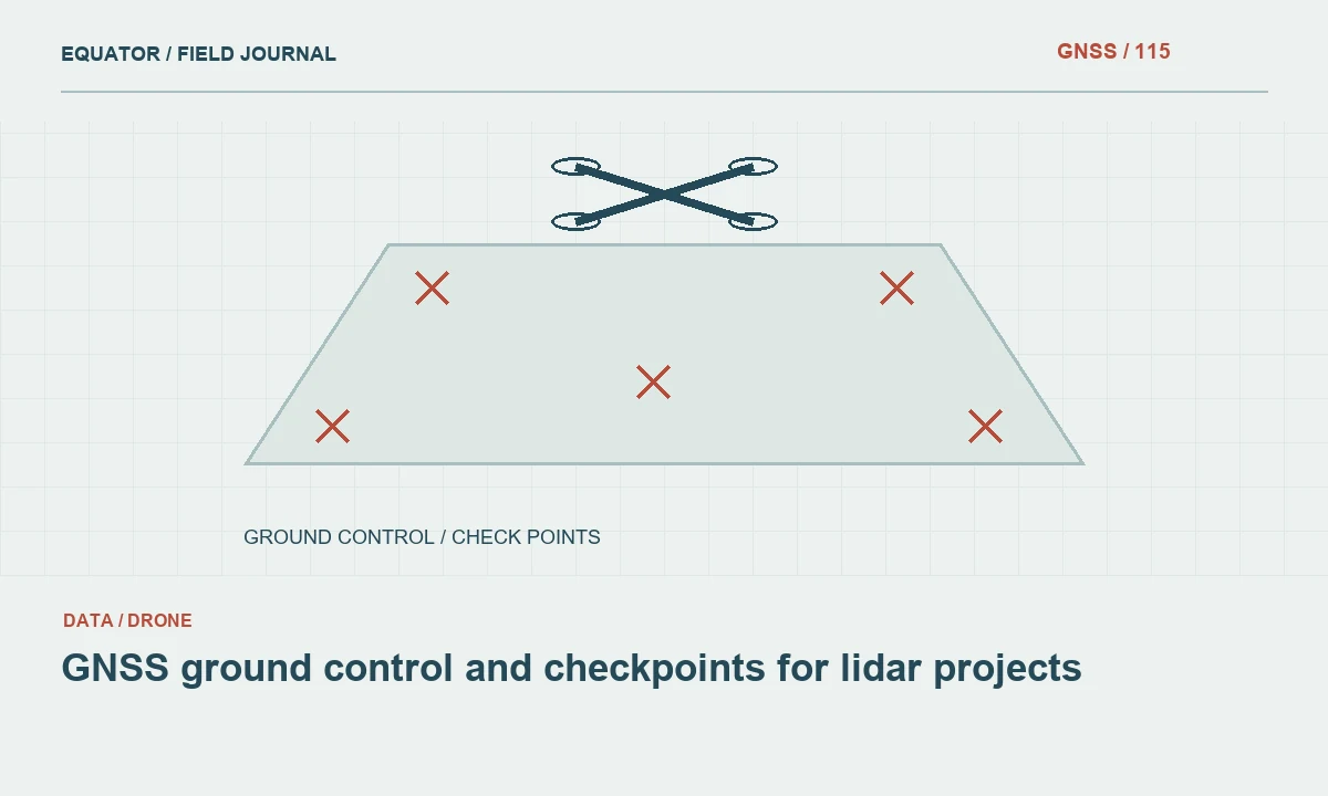
Identify the lidar product and assessment purpose
Lidar projects can deliver point clouds, surface models, bare-earth terrain models and derived features. Define which product the ground observations will support and which quality question they will test. Calibration control and independent checkpoints have different roles. The survey plan should identify those roles before field collection, using the applicable project specification rather than a generic point-count rule.
Review the intended surface classes and terrain conditions. A check on an open paved area may assess a different aspect of the product from a check in vegetation. The USGS lidar specification is a useful authoritative reference for its programme, but project requirements and current applicable editions should be identified explicitly. Do not transfer a requirement to another project without confirming that it applies.
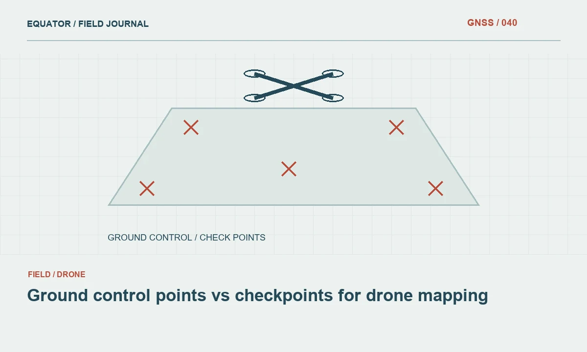
Continue learning Ground control points vs checkpoints for drone mapping
Establish compatible horizontal and vertical references
Record the reference of the lidar trajectory, ground observations and delivered products. Include datum realisation, coordinate epoch where relevant, units and height type. GNSS positioning commonly begins with ellipsoidal heights, while terrain users may require a different vertical reference. Document the operation and model version used to connect them.
Check benchmark and control information before production. A common map projection does not prove that elevations agree. Preserve the original heights and transformation settings so the workflow can be investigated later. If two sources disagree, resolve their definitions and evidence before applying an arbitrary offset to the point cloud or ground observations.
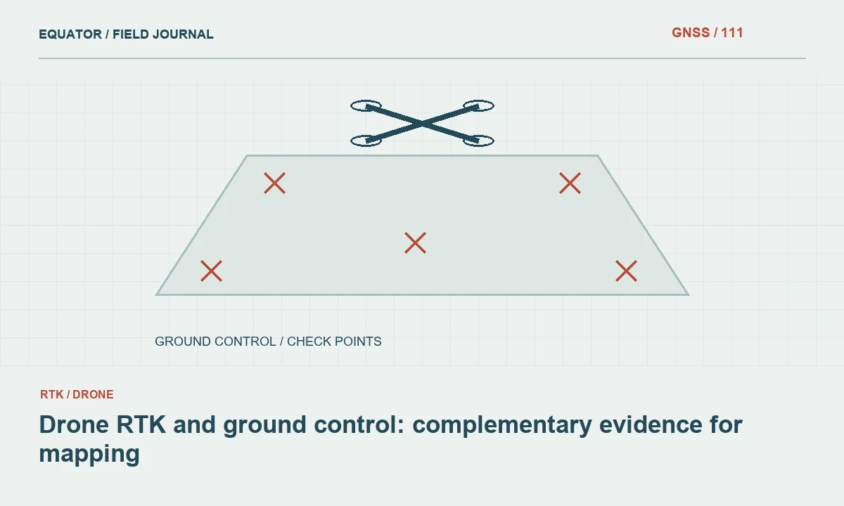
Continue learning Drone RTK and ground control: complementary evidence for mapping
Distinguish calibration from validation
Ground observations used to estimate or adjust a lidar solution contribute to calibration. Independent checkpoints should remain outside that process when they are intended to assess the result. Clearly label the role of each point and preserve that role through processing. A point used to improve the model cannot simultaneously provide an independent test of the same adjustment.
Plan enough suitable evidence for both troubleshooting and final assessment according to the project method. If a checkpoint is later used in calibration, document the change and review whether the remaining independent set is adequate. Report calibration residuals and checkpoint differences separately. Their numerical values may look similar, but they support different conclusions about the released product.
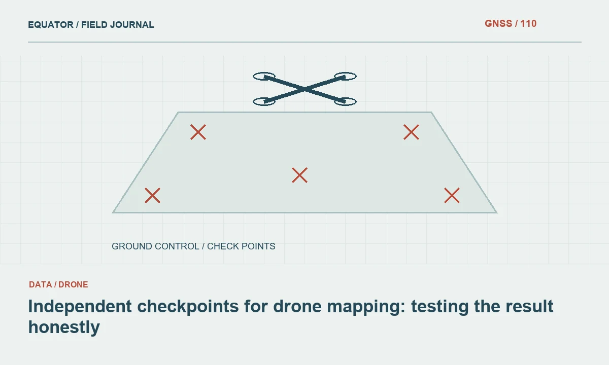
Continue learning Independent checkpoints for drone mapping: testing the result honestly
Select observable physical surfaces
Choose checkpoint locations where the ground surface can be defined and surveyed reliably. Record surface type, vegetation and local slope according to the assessment plan. The GNSS pole tip, field photograph and lidar comparison should refer to the same physical surface. Soft ground or dense vegetation can make that relationship uncertain even when the antenna position is well determined.
Avoid targets or objects that are unstable or unlikely to be represented consistently in the lidar data. Consider collection timing and potential site changes. A ground point surveyed after excavation or material movement may no longer describe the surface seen during lidar acquisition. Preserve dates and field notes so differences can be interpreted rather than automatically attributed to the sensor.
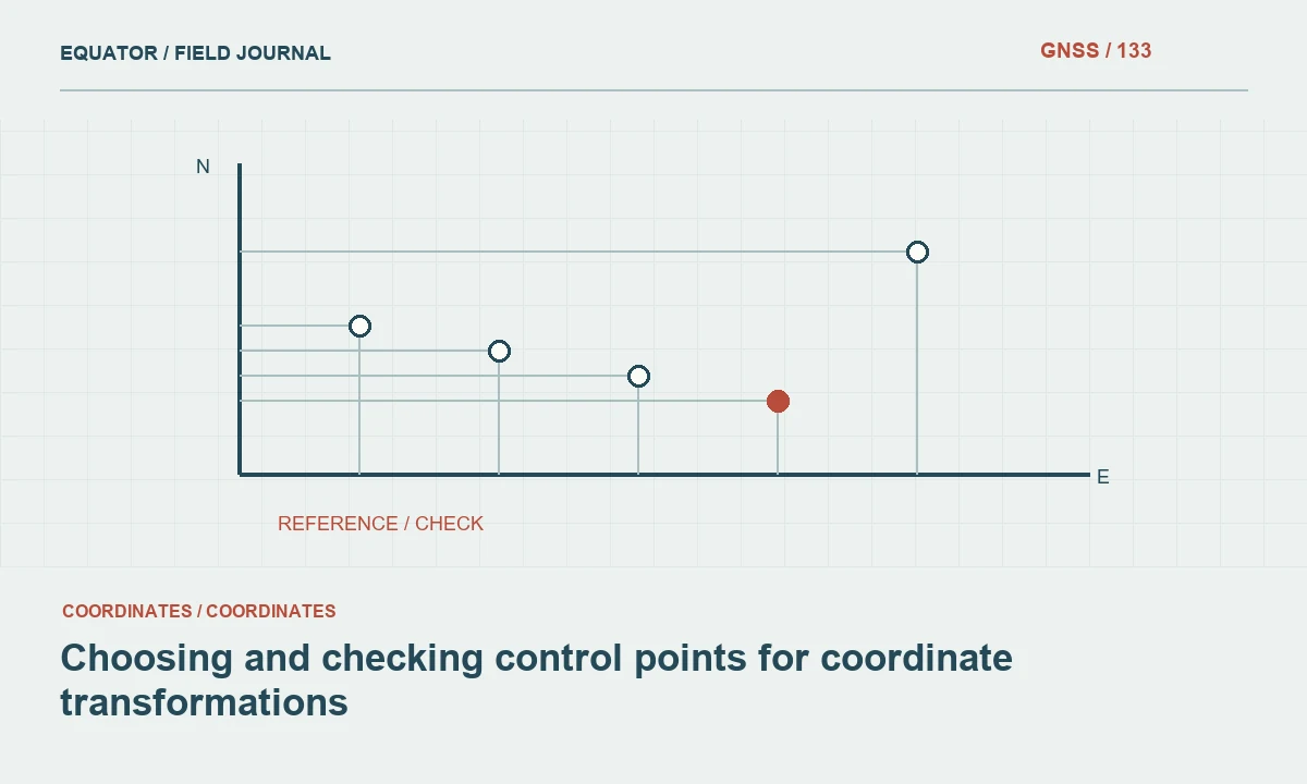
Continue learning Choosing and checking control points for coordinate transformations
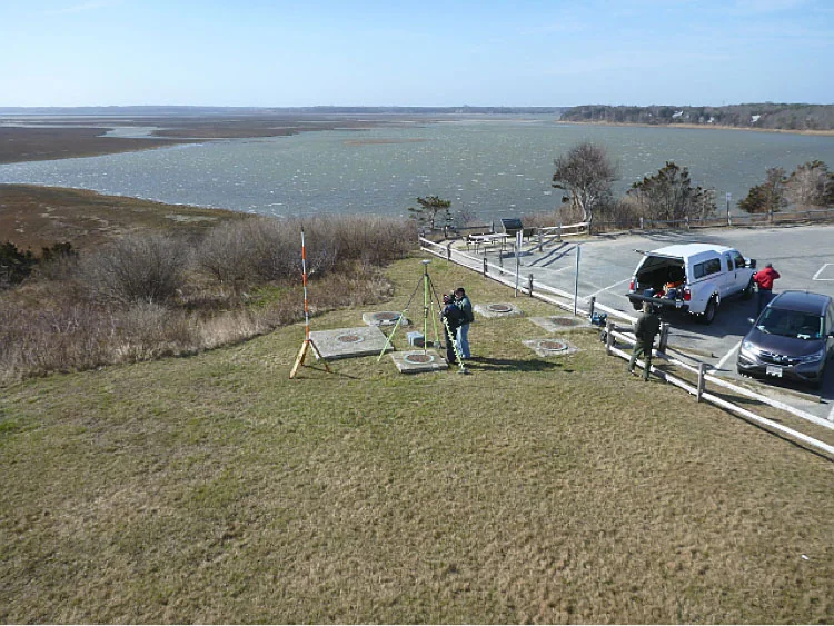
Survey the reference observations with checks
Use a method suitable for the required ground evidence and local environment. Record antenna reference points, heights, correction sources and observation periods. Evaluate satellite obstruction and reflections at each location. Repeated occupations and control comparisons should provide meaningful independent evidence under the project’s approved method, rather than repeated storage of one unchanged solution.
Where GNSS cannot support the required observation, connect another suitable survey method to the same reference. Document that connection and its checks. Keep raw observations where available. The quality of the ground evidence is part of the lidar assessment and should not be treated as perfect simply because the final coordinates contain many decimal places.
Continue learning Ground control points vs checkpoints for drone mapping
Compare the appropriate lidar representation
State whether the checkpoint is compared with individual points, an interpolated surface or another defined product. The extraction method matters, especially on slopes and near edges. Use the project’s approved approach consistently and record relevant settings. A nearest point and an interpolated terrain elevation may answer different questions at the same location.
Inspect unusual differences in the point cloud and field evidence. Classification errors, sparse ground returns, surface changes or a reference mismatch can have different signatures. Do not remove a checkpoint merely because the product lacks a convenient nearby return. Record the limitation and assess it according to the intended product and specification.
Continue learning Drone RTK and ground control: complementary evidence for mapping
Review spatial patterns and surface categories
Map residuals and examine them by terrain, land cover and collection area. A favourable overall result can conceal a local strip issue or a problem in a particular surface class. Review horizontal and vertical behaviour as required by the project. Keep the analysis connected to the actual product users and the conditions in which they will rely on it.
Investigate exclusions and preserve the original evidence. If processing is revised, reassess the released version using the appropriate independent checks. A quality statement should identify the dataset, method and reference rather than describe lidar technology in general. This makes the assessment reproducible and prevents a report from being detached from the product it actually tested.
Continue learning Independent checkpoints for drone mapping: testing the result honestly
Deliver an auditable ground survey package
Provide point identifiers, coordinates, reference definitions, observation methods, surface descriptions and photographs. Identify calibration points, independent checks and excluded observations clearly. Include control checks and the assessment results with the product version. The recipient should be able to trace an important residual back to both the ground evidence and the compared lidar representation.
Archive raw survey data where available, processing settings and model versions. Keep changes to point roles or coordinates in a release history. A dependable lidar ground survey is a designed evidence system connecting positioning, calibration and independent surface assessment. Its usefulness depends on clear definitions and traceability as much as on the precision of individual observations.
Continue learning Choosing and checking control points for coordinate transformations
Investigate a vegetated checkpoint discrepancy
Suppose an open checkpoint agrees with the terrain model while a nearby vegetated location shows a substantial difference. Confirm that the field observation reached the defined ground surface and that the compared lidar product is intended to represent bare earth. Inspect classification and available ground returns rather than assuming one of the two coordinates is simply wrong.
Record whether the issue arises from surface definition, insufficient ground evidence or processing. If the point is unsuitable as a check, explain why and preserve it in the archive. If it reveals a genuine product limitation, report that limitation for the relevant area or surface class. This approach produces information the receiving analyst can use, instead of improving a summary result by silently discarding difficult conditions.
Compare the vegetated result with other checks in the same relevant surface category before drawing a wider conclusion. One difficult point can identify a local issue, but it may not establish the performance of an entire land-cover class. Use the project’s assessment design and report the actual supporting sample. Where the evidence is limited, say so. This avoids both dismissing a real limitation and overstating the scope of a single discrepancy, keeping the quality statement connected to the observations that were actually made.
Continue learning Ground control points vs checkpoints for drone mapping
Practical checklist
- Assign separate calibration and independent checkpoint roles.
- Match ground observations to the lidar surface being assessed.
- Report residuals by relevant terrain and surface conditions.
Plan your GNSS setup
Compare the EQ10 and EQ20 receiver specifications, then discuss the configuration and support your project needs.
Compare GNSS receivers