Drone RTK and ground control: complementary evidence for mapping
Understand what precise camera positioning contributes and why reference checks and independent validation remain important.
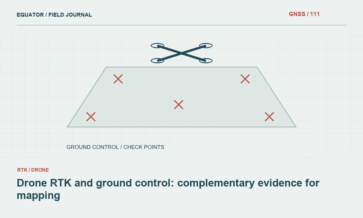
Separate camera positioning from mapping accuracy
RTK-equipped drones can improve the positions associated with image capture events, but the final map depends on more than those positions. Camera calibration, timing, lever arms, image geometry, target identification and processing all contribute. Define the product and its acceptance requirements before deciding how much ground survey evidence is needed.
Avoid treating an RTK status indicator as a direct statement of orthomosaic or surface-model accuracy. It describes part of the positioning process under particular conditions. A mapping result still needs reference compatibility and an appropriate assessment. The useful question is how direct positioning, ground control and independent checkpoints will work together for the specific project.
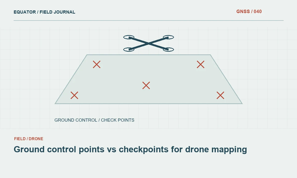
Continue learning Ground control points vs checkpoints for drone mapping
Confirm the complete coordinate reference chain
Identify the reference used by the correction service, the drone positioning solution, the processing software and the delivered product. Include coordinate epoch and height type where relevant. A precise camera position can still be incompatible with a local engineering grid or a different vertical reference. Document any transformations and model versions applied between these stages.
Test representative known points before production work. Check units, axes and whether elevations are ellipsoidal or transformed to the required vertical system. A common CRS label does not necessarily capture every reference realisation or local calibration setting. Resolve discrepancies in the reference chain before interpreting them as camera or photogrammetry problems.
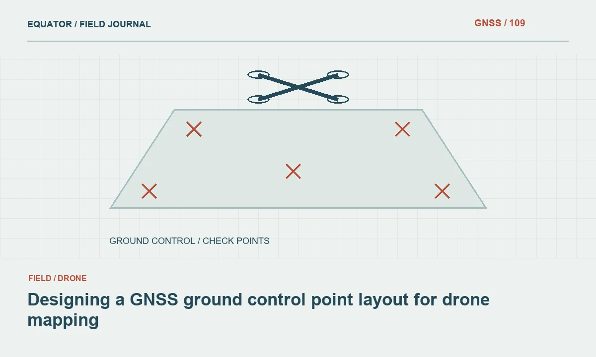
Continue learning Designing a GNSS ground control point layout for drone mapping
Plan ground control for the actual project
Ground control can constrain the photogrammetric model and connect it to the required project reference. Its role depends on project geometry, processing method and direct-positioning evidence. Long corridors, steep terrain and weak image geometry may need a different plan from compact open blocks. Use the project specification and tested workflow rather than a universal claim that control is always unnecessary or always identical.
Survey control points with suitable methods and clear target definitions. Distribute them to support the intended model, and record their roles. Control that is poorly observed or misidentified can introduce problems rather than solve them. The decision is about the quality and geometry of the evidence, not simply whether a certain number of targets appears on the ground.
Continue learning GNSS integration in mobile mapping: trajectory, timing and checks
Keep checkpoints separate from control
Independent checkpoints test the released product without constraining the solution being assessed. Reserve and distribute them before the flight. Do not use the same points to calibrate the model and then describe their residuals as an independent validation. The distinction remains important even when the drone has precise image positions.
Choose check features and surfaces relevant to the intended output. A checkpoint assessment should document survey quality, point identification and reference compatibility. Inspect spatial patterns in the differences rather than relying solely on a favourable average. This provides evidence about the whole mapping workflow, including parts that the aircraft’s positioning status does not directly test.
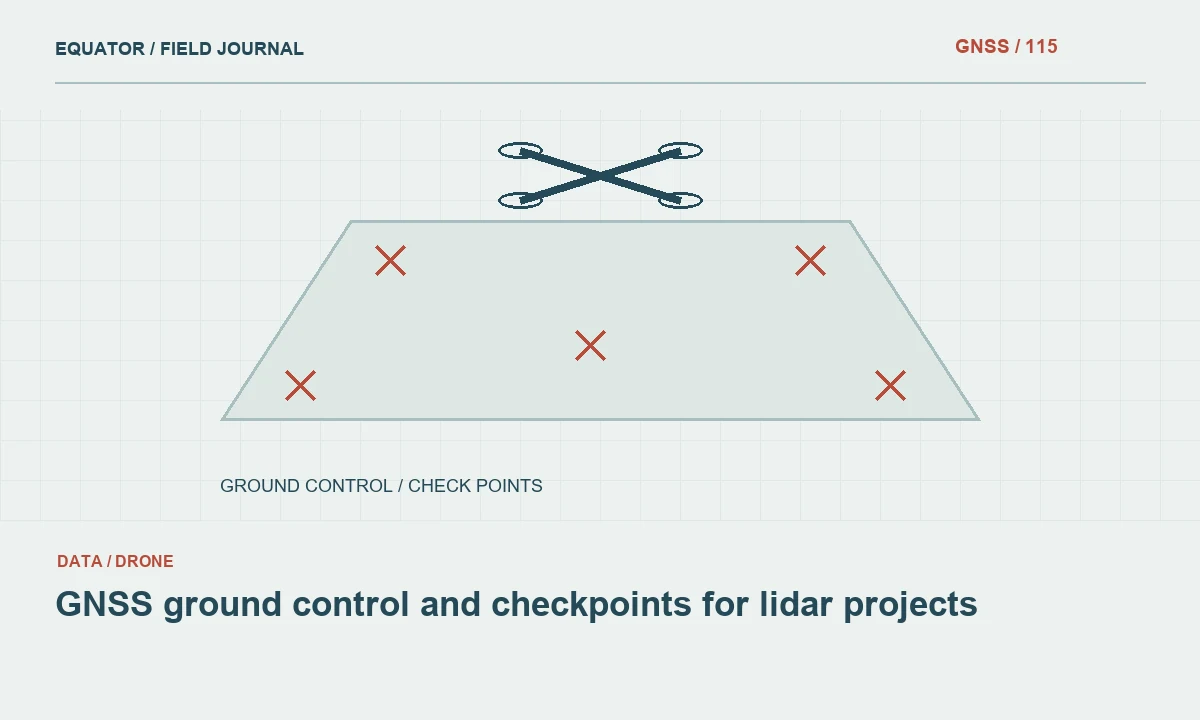
Continue learning GNSS ground control and checkpoints for lidar projects
Review capture timing and equipment geometry
Image positions depend on linking the positioning solution to the correct exposure events. The relationship between the GNSS antenna and camera also matters. Use the equipment manufacturer’s documented workflow and preserve relevant logs. Do not invent lever-arm values or assume a timestamp field has the same meaning in every camera and processing package.
Record firmware and software versions where they affect the workflow. After a significant configuration change, test the process on a representative small project before relying on it for production. A clean RTK connection cannot compensate for an incorrect event association or an unsuitable processing configuration. These are different parts of the evidence chain and require different checks.
Continue learning Ground control points vs checkpoints for drone mapping
Plan for correction interruptions
Real-time corrections can be interrupted by communications gaps, base problems or other conditions. Preserve flight and positioning logs so the team can identify which image events have which solution status. Define the response before the flight, including whether suitable raw data and post-processing options are available within the chosen equipment workflow.
Do not silently assign one quality category to an entire flight when its positioning evidence varies. Review affected areas and image events with the processing team. A suitable alternative may preserve the project, but it should be documented and assessed. The map recipient needs to understand the released product’s evidence, not every operational detail, but the underlying archive should retain those details for investigation.
Continue learning Designing a GNSS ground control point layout for drone mapping
Assess the final product rather than the equipment label
Process the imagery using the approved method and inspect adjustment behaviour, control residuals and independent checkpoints separately. Check for horizontal shifts, vertical bias and spatial distortion. Review image coverage and target marking where differences occur. An RTK-equipped aircraft can produce an unsatisfactory map if another part of the workflow is wrong.
Likewise, a well-controlled workflow using other positioning methods can produce useful results within its defined requirements. Avoid broad equipment-based accuracy promises. Report the assessed product version, reference definitions and limitations. This gives the recipient a concrete basis for judging fitness for purpose instead of relying on a technology label or a single receiver status screen.
Continue learning GNSS integration in mobile mapping: trajectory, timing and checks
Deliver an understandable evidence package
Provide the output reference, control schedule, checkpoint assessment and relevant processing summary. Identify the role of direct image positioning and any method changes caused by interruptions. State which observations were used in adjustment and which were withheld for validation. Preserve the logs and original survey evidence where available.
When the workflow is repeated on another site, review the new geometry and environment rather than assuming the previous result transfers automatically. Drone RTK, ground control and checkpoints are complementary tools. A dependable plan assigns each a clear role and checks the complete mapping result against the project’s requirements.
Continue learning GNSS ground control and checkpoints for lidar projects
Evaluate a control-light pilot honestly
If the project proposes reducing ground control because direct image positioning is available, test that proposal on a representative pilot area. Keep sufficient independent checks to assess the result and record the exact workflow. Compare the product with the agreed requirements across relevant terrain and block positions, rather than only near the most favourable open area.
Use the pilot findings to define the production method and its limits. If the evidence supports a reduced-control approach, document the conditions under which it was demonstrated. If it reveals bias or distortion, investigate and revise the plan. The pilot should support a project-specific decision, not become a general claim that every RTK flight can omit ground survey evidence regardless of geometry, reference or output purpose.
Keep the pilot’s acceptance decision linked to its actual terrain, flight geometry, reference and processing configuration. A later production block with substantially different conditions may need another review even when the same aircraft is used. Record which aspects of the pilot are being carried forward and which are changed. This supports a practical risk-based survey decision without turning one successful test into an unsupported universal rule. The independent checks remain necessary evidence that the complete production workflow performed as intended in its own setting.
Continue learning Ground control points vs checkpoints for drone mapping
Practical checklist
- Verify the full camera-to-project reference chain.
- Assign different roles to control and independent checkpoints.
- Test workflow changes on a representative pilot area.
Plan your GNSS setup
Compare the EQ10 and EQ20 receiver specifications, then discuss the configuration and support your project needs.
Compare GNSS receivers