Planning RTK baseline length before fieldwork
Choose a base arrangement by considering the work area, atmospheric differences, communications and independent checks rather than a single distance claim.
Start with the survey decision
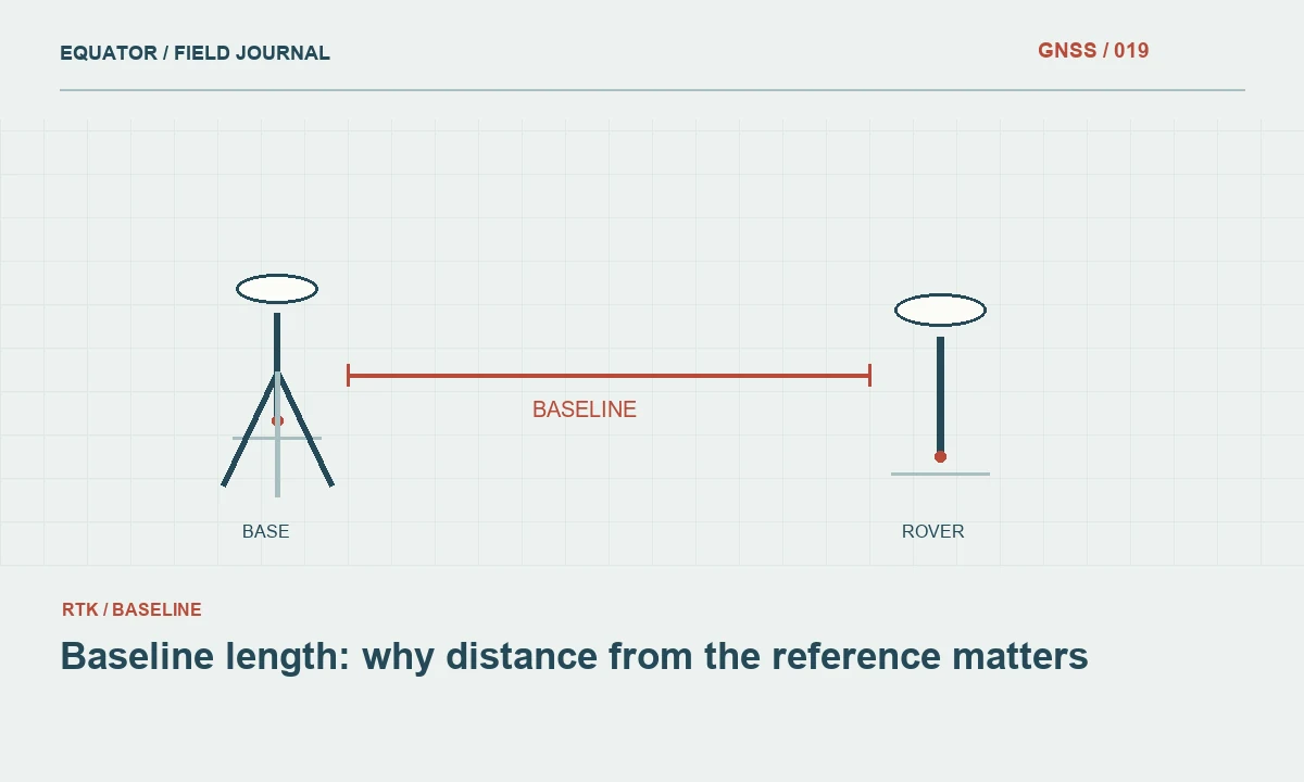
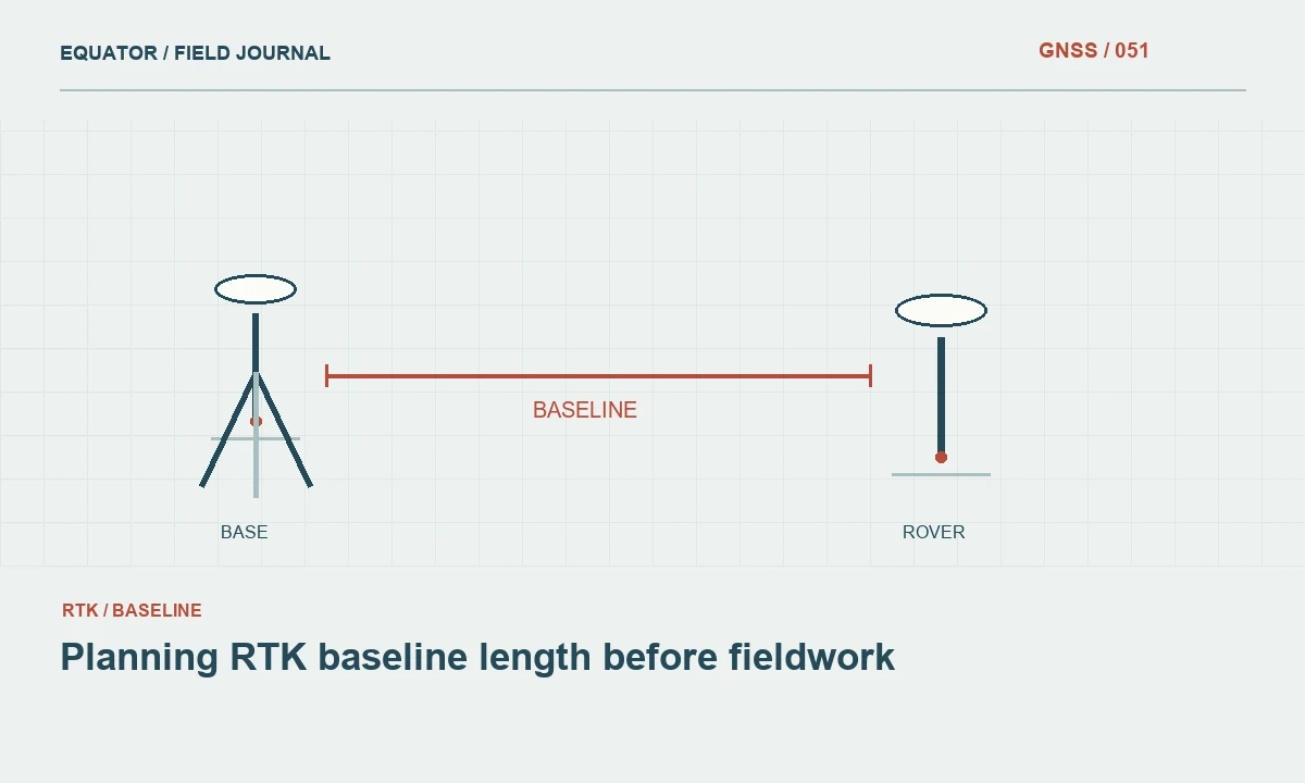
Baseline length is the separation between the reference receiver and the rover. For a single base RTK survey, that separation changes as the crew moves around the project. A plan should therefore describe the longest working baseline as well as the convenient distance at the first point. Plot the reference location and the outer limits of the work on a map before deciding where the equipment belongs.
Begin with the deliverable. Locating approximate assets, transferring construction control and surveying drainage elevations place different demands on the observations. Record the required horizontal and vertical checks separately. The distance written in a receiver brochure is a capability statement under stated conditions; it does not replace a project acceptance procedure. A short baseline also cannot rescue a wrong base coordinate or an unstable antenna mount.
Continue learning Baseline length: why distance from the reference matters
Understand what separation changes
Relative positioning benefits when the base and rover experience similar errors. As their separation grows, atmospheric effects can become less alike. Satellite visibility may differ too: a base on an open roof and a rover beside a concrete wall do not share the same signal environment. This is why a distance alone cannot predict whether a particular occupation will produce a reliable result.
Consider the vertical dimension of the project as well. A receiver on a ridge and one in a valley may experience different local conditions even when their horizontal separation seems modest. Keep weather observations and site descriptions with troublesome sessions. They help the office distinguish a communications problem, an obstruction problem and a possible modelling problem without assuming that every failure has the same cause.
Continue learning Building a GNSS error budget before fieldwork
Map practical base options
Identify several candidate reference sites rather than selecting the geographical centre automatically. A useful base needs stable support, clear sky, appropriate access and a practical way to communicate with the rover. A central position hidden beneath trees may perform worse than a slightly more distant open location. Visit candidate sites or obtain recent photographs before promising a daily production rate.
Show the expected coverage of each setup on the project map. If the project is elongated, moving a temporary base between planned sections may be more manageable than stretching a single setup across the whole corridor. Each move introduces a new setup and coordinate assignment that must be checked. Label the resulting work zones so data from different reference arrangements remain distinguishable in the archive.
Continue learning Planning GNSS surveys around ionospheric disturbances
Separate radio reach from positioning quality
A radio connection can disappear while satellite tracking remains healthy. Conversely, a strong radio signal does not prove that the rover shares a suitable reference environment. Test both systems. For a radio link, examine terrain, vegetation, antennas and permitted operating settings. For an internet link, test the connection along the actual route rather than relying on a coverage map for the nearest town.
During a reconnaissance test, log baseline length, correction age, solution state and an independent check result at several representative locations. Include the least favourable part of the work area. A successful test beside the parked vehicle is useful for equipment setup, but says little about a river bend or a hillside beyond a ridge. Keep failures as evidence instead of deleting them from the test record.
Continue learning Planning GNSS construction stakeout from design to field evidence

Use a trial to establish a working envelope
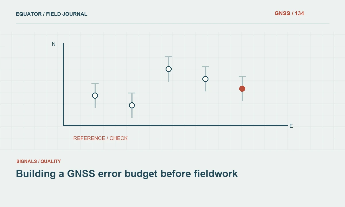
Choose known or independently established check points distributed through the work. Occupy them with the intended settings and equipment arrangement. Repeat important checks after a fresh initialization and at another time when practical. Compare horizontal and height differences separately. This trial establishes whether the planned method works for the project, rather than assigning a universal acceptable distance to every receiver and environment.
The test record should explain its limits. If all checks were made in open ground, state that canopy and street canyon work remains untested. If only one day was tested, do not present the result as an assurance for every atmospheric condition. A useful working envelope includes the configuration, the type of environment and the actions required when field conditions fall outside the trial.
Continue learning Baseline length: why distance from the reference matters
Define when the crew changes method
Write a practical escalation rule before starting production. Increasing correction age, unstable ambiguity resolution, repeated check failures or an unexpected coordinate offset should trigger investigation. The response might be to improve communications, move to a clear point, use another approved reference setup or collect raw data for an alternative processing method. Merely extending the occupation indefinitely is not a complete troubleshooting strategy.
If a base is moved, preserve the original work and identify the transition clearly. Confirm the new reference coordinate, antenna height and job coordinate system. Check a common point between the two work zones. That common observation is especially useful for finding a setup error that would otherwise look like a sudden change in the landscape. Never silently combine zones that disagree beyond the project criteria.
Continue learning Building a GNSS error budget before fieldwork
Report the arrangement that actually worked
In the final survey note, list the base location, coordinate source, operating dates and the range of baseline lengths used. Describe important changes from the original plan. Include the check results that support acceptance and identify any areas measured by another method. The report should allow a colleague to understand why the chosen arrangement was reasonable without having been present in the field.
Retain raw observations when available and permitted by the workflow. Their value is not that they automatically repair every real time result, but that they preserve evidence for later analysis. A well planned baseline strategy connects site reconnaissance, equipment configuration, verification and reporting. That connection is more useful than repeating an attractive maximum range without describing the conditions that make the range meaningful.
Continue learning Planning GNSS surveys around ionospheric disturbances
An example of dividing a corridor
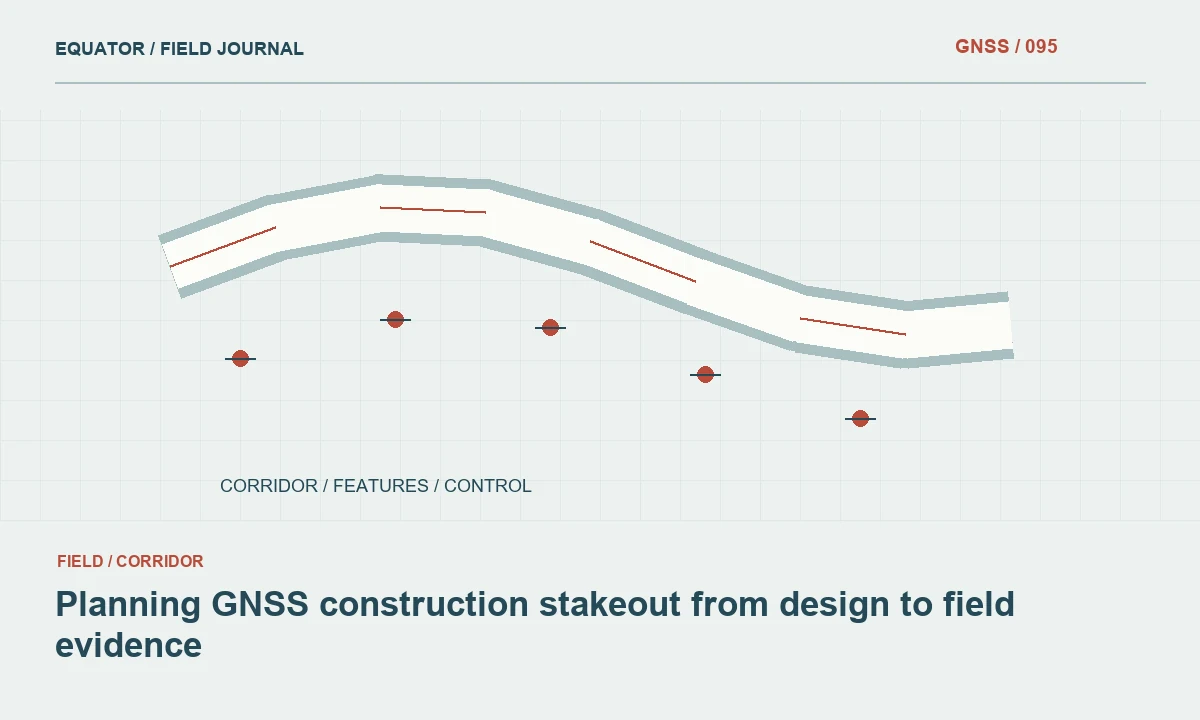
Consider a hypothetical corridor with open ground near its western end and a ridge near its eastern end. One central base might appear economical on a map, yet reconnaissance could show that the ridge interrupts the radio path. The plan should compare a second reference setup, an internet correction path and an alternative method for the obstructed section. Each option has different setup and verification work, so the cheapest equipment arrangement is not necessarily the simplest survey workflow.
If two base setups are selected, identify a shared check area and preserve the coordinate source for each reference. Measure suitable common points and compare the resulting coordinates before combining production files. The overlap is a deliberate test of consistency between work zones, not a reason to adjust one zone informally until its edge looks smooth. This example shows why baseline planning belongs with communications reconnaissance and coordinate control: the workable solution depends on all three, and its acceptance should be documented before the final merge.
Continue learning Planning GNSS construction stakeout from design to field evidence
Practical checklist
- Map the full work extent and candidate reference sites.
- Test communications and independent coordinates at the difficult locations.
- Record each base move and verify the overlap between work zones.
Plan your GNSS setup
Compare the EQ10 and EQ20 receiver specifications, then discuss the configuration and support your project needs.
Compare GNSS receivers