Building a GNSS error budget before fieldwork
A useful GNSS error budget connects each uncertainty source to a field control, a review method and a documented acceptance decision.
Start with the coordinate that will be delivered
A GNSS error budget describes how uncertainty enters a positioning result and how the project intends to control it. Start with the delivered coordinate, rather than the receiver brochure. A map feature, construction control mark and monitoring point may require different evidence. Specify the horizontal and vertical reference systems, the intended use, the reporting confidence and the acceptance method before assigning numbers to individual components.
Separate the observed antenna position from the final ground feature. The result can include uncertainty from satellite observations, correction information, control coordinates, antenna setup, height reduction, coordinate transformation and feature identification. A very consistent satellite solution can still describe the wrong physical point. For example, measuring the top of a protective cap while reporting a buried marker creates a definition problem that cannot be solved by averaging more epochs.
Continue learning Accuracy, precision and uncertainty in GNSS reports
List mechanisms rather than convenient percentages
Build a table in which every row names a mechanism, its likely behavior, the available evidence and the proposed treatment. Useful rows include multipath, atmosphere, orbit and clock information, ambiguity resolution, antenna height, pole centering, reference coordinates and datum conversion. Do not assign an arbitrary percentage to each row simply to make the total equal the desired specification. Some mechanisms are random over a suitable sample; others act as persistent biases.
Record whether a component is estimated from repeated observations, calibration information, processing statistics or an external reference. Explain the conditions under which that estimate applies. A repeatability study on an open training field does not automatically characterize points beside reflective buildings. Equally, a control coordinate supplied without a reference epoch or uncertainty statement should remain an unresolved dependency until its meaning has been established with the owner.
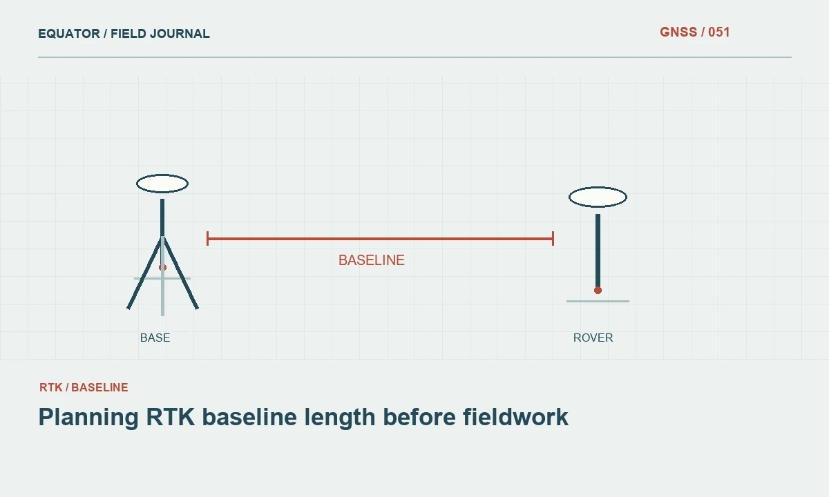
Continue learning Planning RTK baseline length before fieldwork
Combine only compatible uncertainty information
Uncertainty components cannot always be added directly. The familiar root sum of squares calculation assumes the quantities have compatible statistical interpretations and that relevant correlations are addressed. A vertical standard deviation, a circular horizontal confidence value and a maximum permitted discrepancy are different things. Convert or report them separately with a documented method. When the available evidence does not support a statistical combination, describe the limitation instead of manufacturing a precise total.
Consider dependencies. Several rover points may share the same base coordinate, transformation and geoid model. Their relative agreement can look strong even though they all inherit a common shift. Repeated observations made without changing the setup can also share pole height or centering mistakes. The budget should distinguish uncertainty common to the entire project from uncertainty that varies between individual points, because the two require different checks.
Continue learning Designing a GNSS project quality dashboard
Turn each significant component into a control
The budget becomes useful when it changes field behavior. Address setup uncertainty with a checked pole, a defined antenna reference point and recorded height measurements. Address ambiguity risk with the project's solution acceptance rules and independent occupations. Address coordinate framework uncertainty by checking trusted control that was not used to force a localization. Address transformation uncertainty with distributed verification points and a retained transformation definition.
Assign responsibility and timing to each control. A crew member can verify antenna height before observations, while an office reviewer examines transformation residuals before coordinates are released. Some concerns need a different technique rather than a longer GNSS occupation. If an inaccessible feature cannot be observed directly with adequate geometry, record the alternative measurement method and its contribution to the final result. The error budget should follow that complete measurement chain.
Continue learning A traceable workflow for reviewing GNSS outliers

Test the budget with a realistic example
Consider a drainage survey in which the client cares most about differences in elevation between structures. The receiver's displayed vertical precision covers only part of the problem. Antenna height, identification of the surveyed surface, local vertical control and the applied geoid or height transformation also matter. A team might collect repeat occupations on selected structures and check an independent height reference, retaining the discrepancy and observation conditions for review.
If the elevations disagree while horizontal checks remain satisfactory, the crew should investigate vertical components first. A wrong antenna height or mixed height convention is a more useful hypothesis than immediately changing every satellite setting. Conversely, a shared horizontal offset across the site may indicate control or transformation trouble. The example illustrates why an error budget should organize diagnosis as well as predict expected performance.
Continue learning Accuracy, precision and uncertainty in GNSS reports
Revisit assumptions when conditions change
Treat the initial budget as a planning model that must survive contact with the field. Revisit it when the baseline changes substantially, the correction source changes, observations move under canopy, a different antenna is introduced or a localization is revised. Keep the original assumptions and the amended version so that reviewers can determine which points were collected under each configuration. A silent update makes the evidence harder to interpret.
Use actual project discrepancies to assess whether the assumptions were reasonable. Do not remove inconvenient checks simply because they make the reported performance worse. Investigate them, classify their causes and decide whether additional observations or exclusions are justified. A small sample may support a cautious statement about the tested points without supporting a broad probability claim about every feature across the project.
Continue learning Planning RTK baseline length before fieldwork
Distinguish a planning allowance from a measured result
Imagine a project worksheet in which the team initially lists control, setup, observation and transformation as separate components. During reconnaissance, it discovers that the supplied control report contains no uncertainty statement and that several intended points sit beside a reflective wall. The appropriate response is to flag the control dependency and plan stronger checks at the wall, rather than insert optimistic numbers so the worksheet appears complete. The budget should expose missing evidence before it becomes a hidden assumption in the final coordinate.
After fieldwork, replace planning assumptions with the actual assessment where the evidence supports it. Keep unverified components clearly identified and explain their practical consequence. If independent checks cover only part of the site, do not convert that limited sample into a universal statement about every feature. This distinction between an initial allowance and a measured assessment helps managers understand what additional work would improve confidence. It also prevents a budget prepared for scheduling from being copied into the final report as though every entry had been experimentally established under project conditions.
Continue learning Designing a GNSS project quality dashboard
Report a defensible conclusion
The final report should identify the principal components, the checks performed, the confidence conventions and unresolved limitations. Explain which parts of the coordinate chain were independently tested and which depend on supplied information. Retain supporting observations and configuration files so another reviewer can reproduce the reasoning. The goal is a traceable acceptance decision, not the longest possible list of uncertainty terms.
Use language that matches the evidence. State measured discrepancies and the conditions of the test rather than promising that every future observation will achieve the same result. An effective GNSS error budget helps the crew allocate effort to the mechanisms that matter, helps the office interpret unexpected differences and helps the client understand what the delivered coordinates can reliably support.
Continue learning A traceable workflow for reviewing GNSS outliers
Practical checklist
- Start with the coordinate that will be delivered.
- Distinguish a planning allowance from a measured result.
- Report a defensible conclusion.
Plan your GNSS setup
Compare the EQ10 and EQ20 receiver specifications, then discuss the configuration and support your project needs.
Compare GNSS receivers